The best running trails around Marton Cum Grafton
4.6
(16)
2,154
runners
132
runs
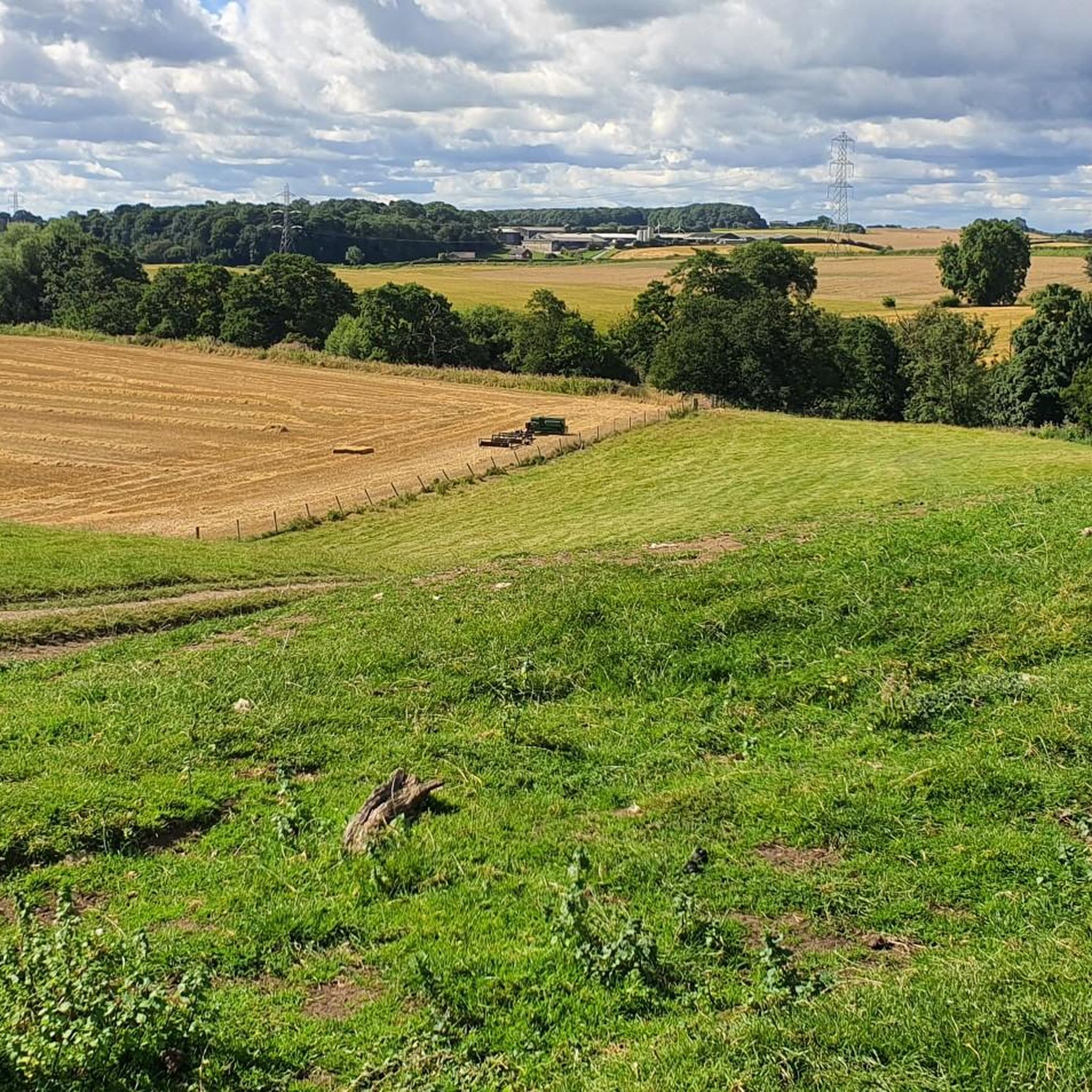
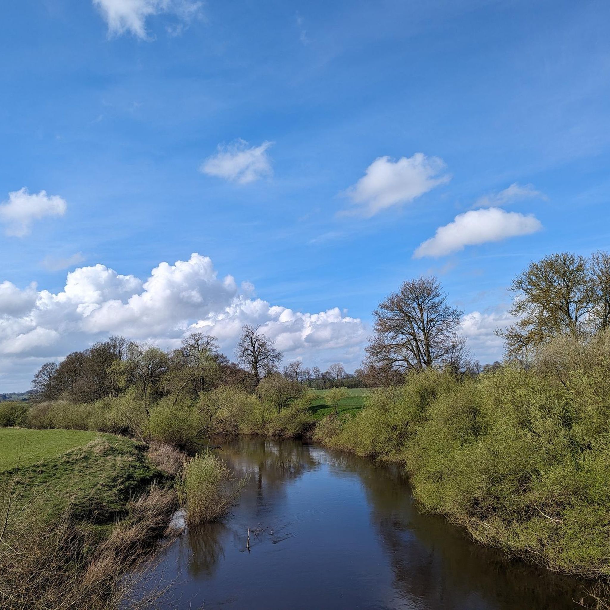
Jogging around Marton Cum Grafton offers a variety of routes across relatively flat terrain, ideal for accessible running. The landscape features open countryside, village paths, and nature reserves, providing diverse settings for different running preferences. With minimal elevation changes, the area is suitable for both casual jogs and longer-distance training. The routes often connect local villages and natural spaces, allowing runners to experience the region's character.
Best jogging routes around Marton Cum Grafton
- The most popular jogging route is Roecliffe Village – Boroughbridge High Street loop from Boroughbridge, a 15.8 miles (25.4 km) trail that takes 2 hours 37 minutes to complete. This route connects two distinct village areas, offering a varied long-distance running experience.
- Another top favourite among local runners is Running loop from Boroughbridge, a moderate 3.6 miles (5.8 km) path. This circular route provides a convenient and accessible option for a shorter run directly from Boroughbridge.
- Local runners also love the Staveley Nature Reserve loop from Staveley, a 3.0 miles (4.8 km) trail leading through a nature reserve, often completed in about 31 minutes.
- Jogging around Marton Cum Grafton is defined by nature reserves, village paths, and open countryside, offering a mix of natural and semi-urban running environments. The network provides options for easy jogging routes and more challenging long-distance running trails.
- The routes in Marton Cum Grafton are highly rated by the komoot community with an average score of 4.5 stars from over 10 reviews. More than 2000 runners have used komoot to explore Marton Cum Grafton's varied terrain.
Last updated: May 12, 2026
5.0
(1)
13
runners
Moderate run. Good fitness required. Mostly paved surfaces. Suitable for all skill levels.
4.5
(2)
10
runners
Hard run. Very good fitness required. Mostly paved surfaces. Suitable for all skill levels.

Sign up for free
5.0
(1)
12
runners
4.25km
00:27
10m
10m
Easy run. Great for any fitness level. Mostly paved surfaces. Suitable for all skill levels.
16
runners
Moderate run. Good fitness required. Mostly paved surfaces. Suitable for all skill levels.
9
runners
Moderate run. Good fitness required. Mostly paved surfaces. Suitable for all skill levels.
Get access to more routes and recommendations from other explorers.
Sign up for free
Already have an account?
Our route recommendations are based on thousands of hikes, rides, and runs completed by other people on komoot.
Start today with a free account
Your next adventure awaits.
Login or Signup
Tips from the Community

Forget cafe next door - here you get all you need from a quick cafe stop: fast service, hot coffee and tasty bakes
0
0

The Devil's Arrows are three aligned standing stones. The standing stone alignment consists of some of the tallest standing stones in the United Kingdom. Erected during the Stone Age and distinctively grooved by millennia of rainfall, the tallest southernmost stone is 22.5 feet (6.85 m) in height, making this the second tallest menhir in the United Kingdom.
0
0
Aldborough is the site of the Roman town of Isurium Brigantum, and it is believed that the church lies on the site of a temple to Mercury. Two churches successively occupied the site before the present building was commenced, in the early 14th century. In 1318, the building was partly destroyed by raiders from Scotland, but it was repaired,[1] with a north chantry chapel added in 1333, and the north aisle dating from about 1360. The clerestory dates from the 15th century, the roof was restored in the 16th century, and the south aisle was rebuilt in 1827. The church was Grade I listed in 1966.
0
0

In the search for a worthy patronage for this church, the initial choice was the Archangel Michael, whose name (from the Hebrew language) means "Who is like God?" However, it was then decided that it could not hurt to significantly increase the number of intercessors at God's throne for this church and its parishioners. Thus, the idea arose not to choose just one patron saint, but to expand the patronage to include the entire heavenly host (i.e., "All Angels").
0
0

quiet spot off the road with a stream and a cricket field
0
0

St Michael and All Angels' Church, Littlethorpe is a Grade II listed parish church in the Church of England in Littlethorpe, North Yorkshire England.
1
0


Frequently Asked Questions
How many running routes are available around Marton Cum Grafton?
There are over 130 running routes around Marton Cum Grafton, offering a wide variety of options for different skill levels and preferences.
What kind of terrain can I expect on the running routes?
The routes around Marton Cum Grafton feature relatively flat terrain, ideal for accessible running. You'll find a mix of open countryside, village paths, and nature reserves, providing diverse settings with minimal elevation changes.
Are there easy running routes suitable for beginners?
Yes, Marton Cum Grafton offers 25 easy running routes. A great option for beginners is the Staveley Nature Reserve loop from Staveley, a 3.0-mile (4.8 km) trail that's mostly flat and scenic.
Where can I find longer running trails for endurance training?
For longer distances, consider routes like the Roecliffe Village – Boroughbridge High Street loop from Boroughbridge, which is 15.8 miles (25.4 km) long. There are 19 difficult routes in total for more challenging runs.
Are there many circular running routes in the area?
Yes, many of the running paths around Marton Cum Grafton are circular, allowing you to start and finish at the same point. An example is the moderate Running loop from Boroughbridge, a convenient 3.6-mile (5.8 km) option.
What scenic views or landmarks can I see along the running routes?
While running, you might encounter various points of interest. For example, the area features the historic Aldwark Bridge and the ancient standing stones known as The Devil's Arrows. Nature reserves like Staveley also offer peaceful, natural scenery.
Can I bring my dog on the running trails?
Many of the public footpaths and trails in the Marton Cum Grafton area are dog-friendly. However, always keep dogs under control, especially when passing through farmland with livestock, and be mindful of local signage in nature reserves.
Are there family-friendly running paths?
Given the relatively flat terrain and numerous village paths, many routes are suitable for families. Shorter, easy loops like the East Lagoon loop from Staveley are great for a family run.
Is parking available near the running routes?
Parking is generally available in the villages that serve as starting points for many routes, such as Boroughbridge and Staveley. Look for public car parks or designated roadside parking areas.
How can I reach the running routes by public transport?
Boroughbridge, a central hub for many routes, is accessible by local bus services connecting to larger towns. From there, you can often start your run directly or connect to nearby villages.
What's the best time of year for running in Marton Cum Grafton?
Spring and autumn offer pleasant temperatures and beautiful scenery for running. Summer is also popular, but be prepared for warmer weather. Winter runs are possible, but trails can be muddy or icy, especially in open countryside.
Are there running routes that pass by local pubs or cafes?
Yes, many routes connect local villages like Boroughbridge and Marton Cum Grafton, where you'll find traditional pubs and cafes perfect for a post-run refreshment. Some routes, like the Boroughbridge High Street – Aldborough Roman Site loop, start and end near village amenities.
What do other runners say about the trails in Marton Cum Grafton?
The running routes in Marton Cum Grafton are highly rated by the komoot community, with an average score of 4.5 stars. Runners often praise the varied terrain, from peaceful nature reserves to charming village paths, and the accessibility of the relatively flat landscape.
Most popular attractions around Marton Cum Grafton

Get inspired with the komoot mobile app


Explore more
Browse the best Running Trails & Routes in other regions.
