Markington With Wallerthwaite
Markington With Wallerthwaite
The best road cycling routes around Markington With Wallerthwaite
4.4
(214)
12,636
riders
235
rides
Road cycling routes around Markington With Wallerthwaite offer a diverse landscape in North Yorkshire, featuring a network of paved roads suitable for various fitness levels. The region is characterized by rolling terrain, with some routes incorporating initial climbs followed by rewarding descents. Cyclists can explore areas within the Nidderdale Area of Outstanding Natural Beauty, encountering varied elevations.
Best road cycling routes around Markington With Wallerthwaite
- The most popular road cycling route is Boroughbridge High Street – Ripon Cathedral loop from…
Last updated: July 24, 2026
4.0
(1)
67
riders
51.5km
02:08
230m
230m
Moderate road ride. Good fitness required. Mostly well-paved surfaces and easy to ride.
3.5
(2)
53
riders
Easy road ride. Great for any fitness level. Mostly well-paved surfaces and easy to ride.

Sign up for free
3.7
(3)
112
riders
64.7km
02:30
200m
200m
Moderate road ride. Good fitness required. Mostly well-paved surfaces and easy to ride.
36
riders
27.3km
01:16
170m
170m
Easy road ride. Great for any fitness level. Mostly well-paved surfaces and easy to ride.
34
riders
Moderate road ride. Good fitness required. Mostly well-paved surfaces and easy to ride.
Get access to more routes and recommendations from other explorers.
Sign up for free
Already have an account?
Our route recommendations are based on thousands of hikes, rides, and runs completed by other people on komoot.
Start today with a free account
Your next adventure awaits.
Login or Signup
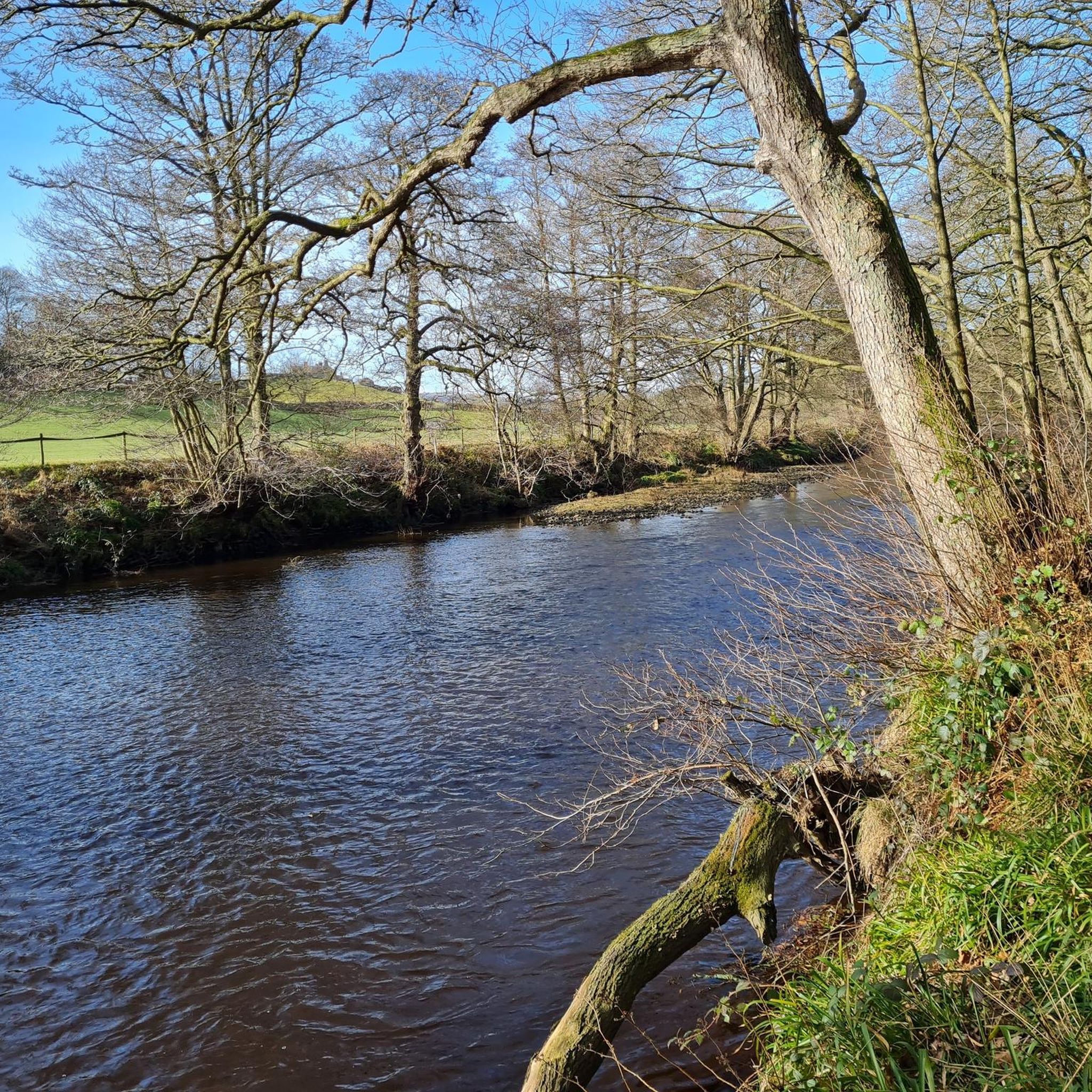
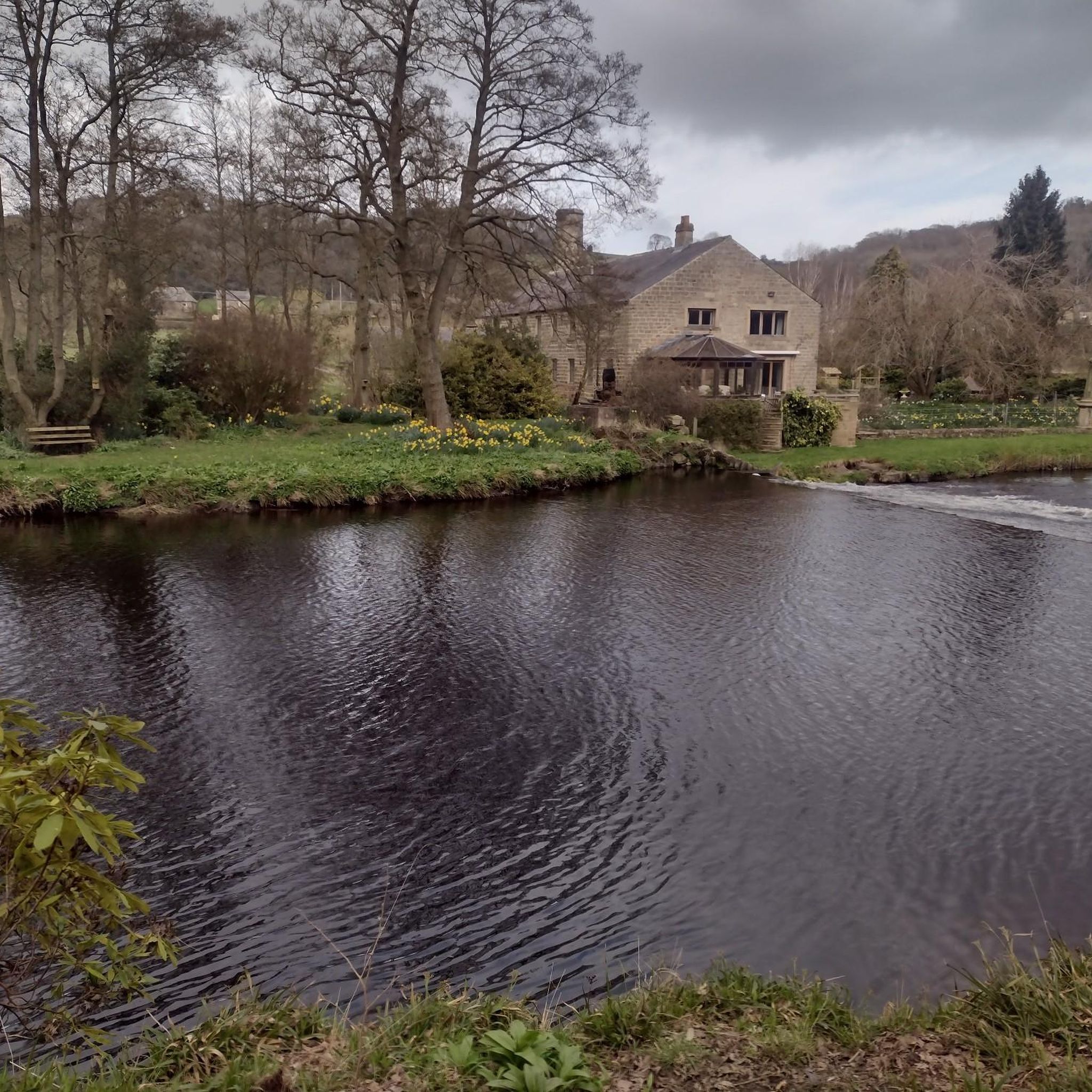
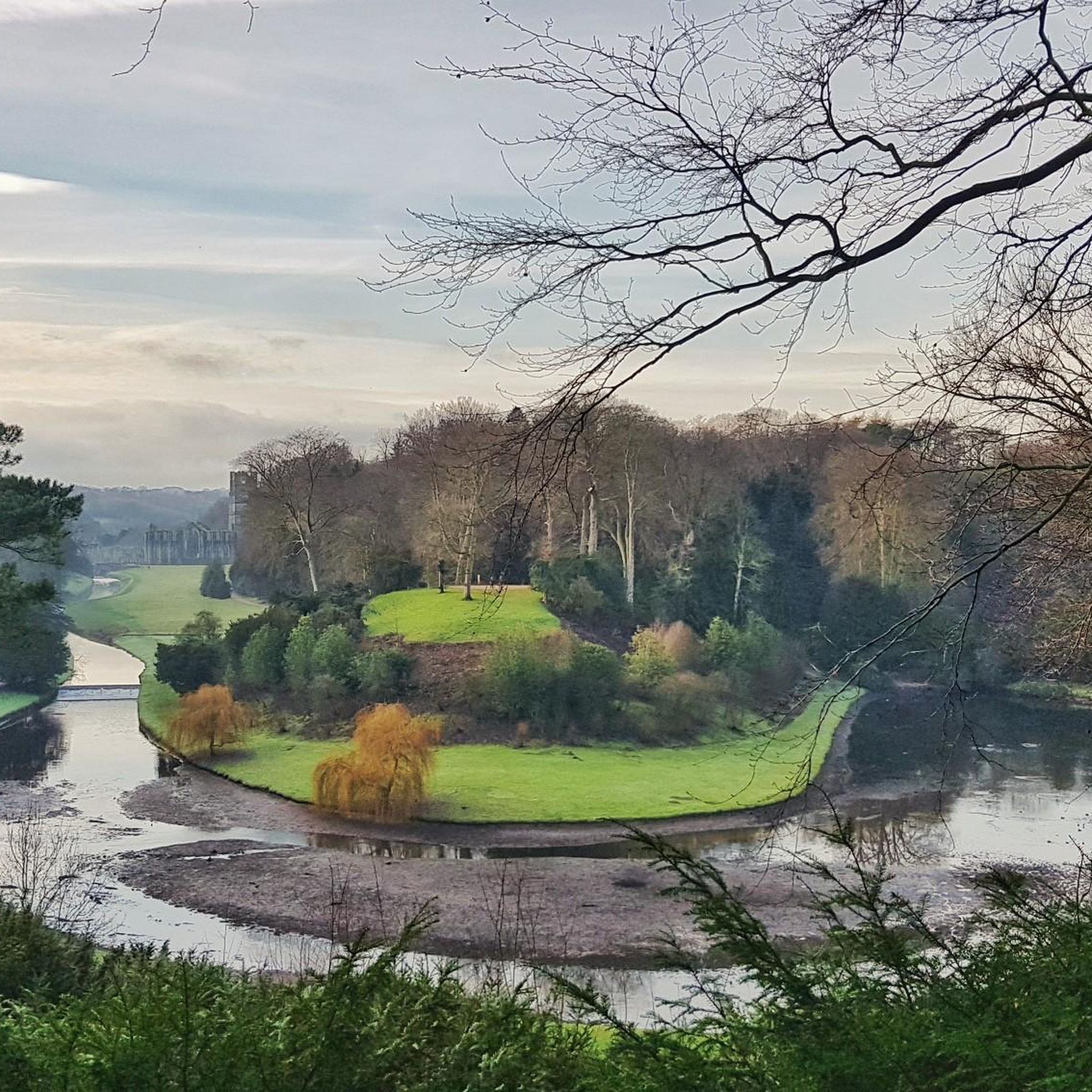
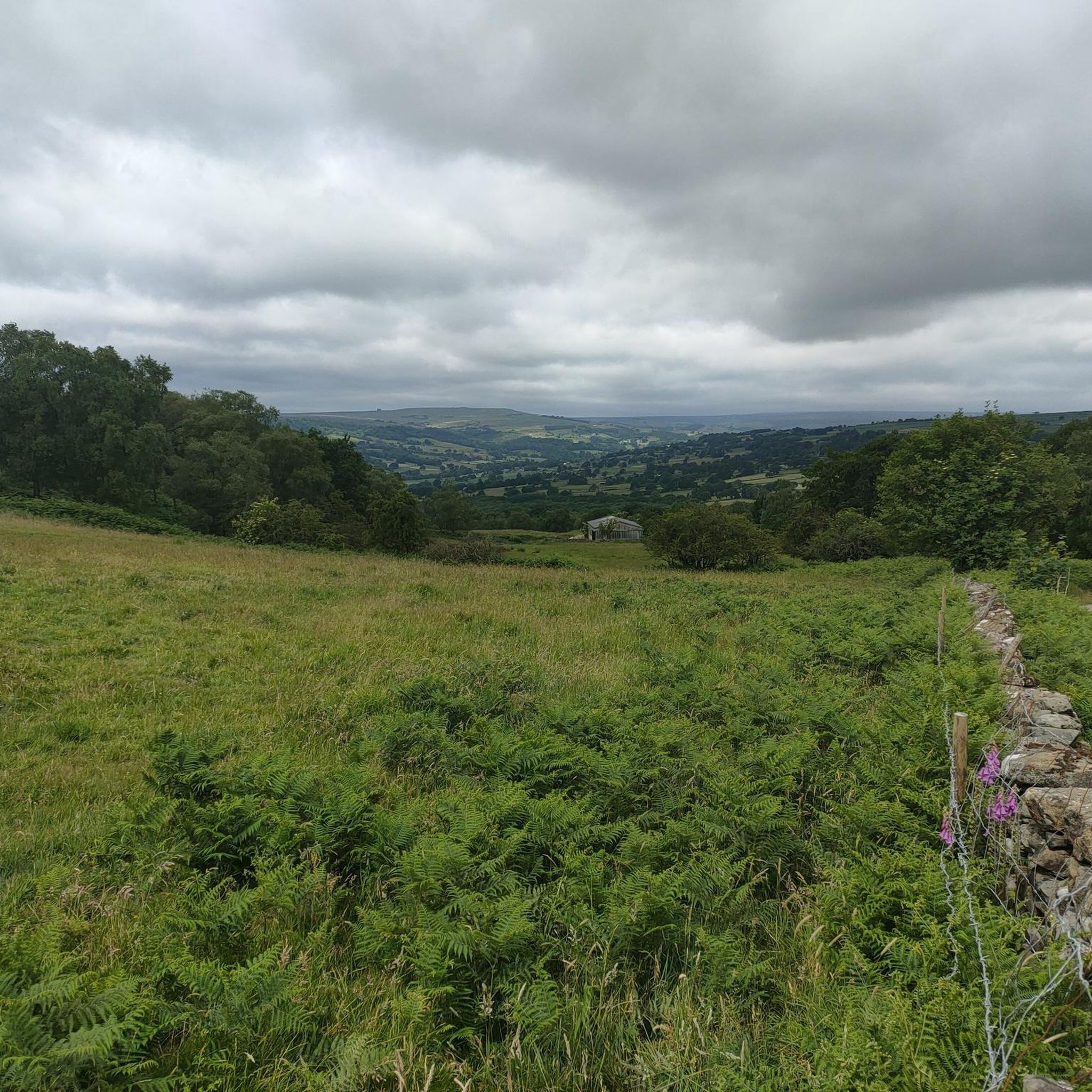

Tips from the Community

Lovely stain glass windows, also loved the beautiful display Origami Doves.
0
0

The stone at Green Hill in Great Ouseburn is a natural boulder that was raised onto a stone base in 2000 to form the Millennium Seat. Known locally as the Millennium Stone, the boulder has been a fixture on the green for many years and was previously partially buried in the ground. The supporting structure features an engraved inscription from Shakespeare’s Romeo and Juliet: "I have more care to stay than will to go".
0
0


The Devil's Arrows are three aligned standing stones. The standing stone alignment consists of some of the tallest standing stones in the United Kingdom. Erected during the Stone Age and distinctively grooved by millennia of rainfall, the tallest southernmost stone is 22.5 feet (6.85 m) in height, making this the second tallest menhir in the United Kingdom.
0
0
Aldborough is the site of the Roman town of Isurium Brigantum, and it is believed that the church lies on the site of a temple to Mercury. Two churches successively occupied the site before the present building was commenced, in the early 14th century. In 1318, the building was partly destroyed by raiders from Scotland, but it was repaired,[1] with a north chantry chapel added in 1333, and the north aisle dating from about 1360. The clerestory dates from the 15th century, the roof was restored in the 16th century, and the south aisle was rebuilt in 1827. The church was Grade I listed in 1966.
0
0

In the search for a worthy patronage for this church, the initial choice was the Archangel Michael, whose name (from the Hebrew language) means "Who is like God?" However, it was then decided that it could not hurt to significantly increase the number of intercessors at God's throne for this church and its parishioners. Thus, the idea arose not to choose just one patron saint, but to expand the patronage to include the entire heavenly host (i.e., "All Angels").
0
0

West Tanfield is a village located near the River Ure in North Yorkshire. It is in a picturesque location and is renowned for its historical sites, including the Marmion Tower, a 15th-century gatehouse that belonged to a large manor house. The village has traditional stone houses and well-preserved architectural sites.
0
0

quiet spot off the road with a stream and a cricket field
0
0
Frequently Asked Questions
How many road cycling routes are available around Markington With Wallerthwaite?
There are over 240 road cycling routes available around Markington With Wallerthwaite, offering a wide range of options for various skill levels. Approximately 77 of these routes are classified as easy, making them suitable for beginners or those seeking a more relaxed ride.
Are there any easy or family-friendly road cycling routes in the area?
Yes, Markington With Wallerthwaite offers numerous easy road cycling routes. One popular option is the Ripon Canal Basin – Obelisk at Ripon Market Place loop from Ripon, an easy 17.0-mile (27.3 km) path that guides cyclists through picturesque roads around Ripon, ideal for a relaxed family outing.
What are some of the longer or more challenging road cycling routes available?
For those seeking a longer or more challenging ride, the region offers routes with significant elevation gain. An example is the Masham Market Square – Studley Royal Deer Park loop from Studley Royal Water Garden, which covers 43.5 km (27.0 miles) with nearly 400 meters of elevation gain, providing a moderate challenge and scenic views.
What kind of terrain can I expect on road cycling routes around Markington With Wallerthwaite?
The terrain around Markington With Wallerthwaite is diverse, characterized by rolling hills and some initial climbs followed by rewarding descents. Many routes feature well-maintained paved surfaces, with some incorporating unpaved segments for a varied experience. The area is nestled within the Nidderdale Area of Outstanding Natural Beauty, ensuring scenic roads and varied elevations.
Are there circular road cycling routes in the Markington With Wallerthwaite area?
Yes, many road cycling routes in the region are circular, allowing you to start and end at the same point. For instance, the Boroughbridge High Street – Ripon Cathedral loop from North Yorkshire is a popular 53.1 km (33.0 miles) circular route featuring rolling terrain and passing by Ripon Cathedral.
What natural attractions or landmarks can I see along the road cycling routes?
Road cycling routes often pass by significant natural and historical landmarks. You can encounter the dramatic rock formations of Brimham Rocks, or cycle past the UNESCO World Heritage Site of Fountains Abbey and Studley Royal Water Garden. The Masham Market Square – Studley Royal Deer Park loop, for example, takes you past the deer park, home to fallow and roe deer.
Are there any castles or historical sites accessible by road bike?
Yes, several historical sites and castles are within cycling distance. You could explore routes that lead to or pass by Ripley Castle and Bridge, or the impressive Knaresborough Castle and view over the River Nidd. The village of Markington itself also features the historic 17th-century Markington Hall.
What do other road cyclists say about the routes in Markington With Wallerthwaite?
The road cycling routes around Markington With Wallerthwaite are highly rated by the komoot community, with an average score of 4.5 stars from nearly 200 reviews. Cyclists often praise the diverse landscapes, the network of well-maintained roads, and the opportunity to explore both challenging and scenic routes within the Nidderdale Area of Outstanding Natural Beauty.
Are there routes that offer scenic viewpoints or opportunities for cafe stops?
Many routes in the region offer picturesque views, especially those traversing the Nidderdale AONB or passing by sites like Brimham Rocks. While specific cafe stops are not always marked, the villages and towns along routes, such as Ripon, Masham, and Boroughbridge, provide ample opportunities for refreshments and breaks.
What is a good route for experiencing the historical aspects of the area?
To experience the historical aspects, consider routes that pass through Ripon or near Fountains Abbey. The Obelisk at Ripon Market Place – Cabmen's Shelter loop from Littlethorpe is a 37.6 km (23.4 miles) trail that leads through varied terrain, offering glimpses of the historical character of the area around Ripon.
Can I find routes that incorporate lakes or water features?
Yes, some routes will bring you close to beautiful water features. The Masham Market Square – Studley Royal Deer Park loop, for instance, passes by the stunning Studley Royal Water Garden, a UNESCO World Heritage Site known for its beautifully designed 18th-century water gardens.
Most popular routes around Markington With Wallerthwaite
Most popular attractions around Markington With Wallerthwaite

Get inspired with the komoot mobile app


Explore more
Browse the best Road cycling routes in other regions.
