The best road cycling routes around Killinghall
4.5
(159)
11,905
riders
445
rides
Road cycling around Killinghall offers diverse landscapes, from rolling countryside to tranquil reservoirs and unique rock formations. The area features a network of routes that traverse woodlands, open fields, and established greenways. Cyclists can explore varied terrain, including both paved surfaces and some unpaved segments, providing a range of experiences. This region provides options for both leisurely rides and more challenging routes with elevation gains.
Best road cycling routes around Killinghall
- The most popular road cycling route is RAF Menwith…
Last updated: September 30, 2026
39
riders
Moderate road ride. Good fitness required. Mostly well-paved surfaces and easy to ride.
5.0
(1)
36
riders
26.3km
01:17
370m
370m
Moderate road ride. Good fitness required. Mostly well-paved surfaces and easy to ride.

32
riders
41.2km
01:58
570m
570m
Moderate road ride. Good fitness required. Mostly well-paved surfaces and easy to ride.
24
riders
29.2km
01:24
400m
400m
Moderate road ride. Good fitness required. Mostly well-paved surfaces and easy to ride.
14
riders
21.6km
00:57
210m
210m
Easy road ride. Great for any fitness level. Mostly well-paved surfaces and easy to ride.
Get access to more routes and recommendations from other explorers.
Already have an account?
Our route recommendations are based on thousands of hikes, rides, and runs completed by other people on komoot.
Start today with a free account
Your next adventure awaits.

Tips from the Community


Superb off road cycle track, busy, great pub in Ripley the Boars Head.
0
0
Great railway track, although busy, dogs often off the lead, cautious cycling required!
0
0

The path underneath is formally closed, but locals still walk it.
0
0

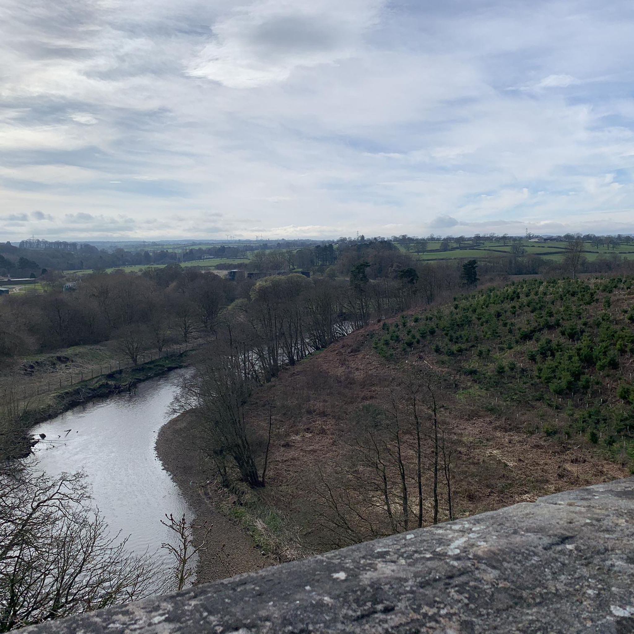
This section offers a rewarding downhill or a climb, depending on your direction, with stunning views of the Nidderdale landscape.
1
0

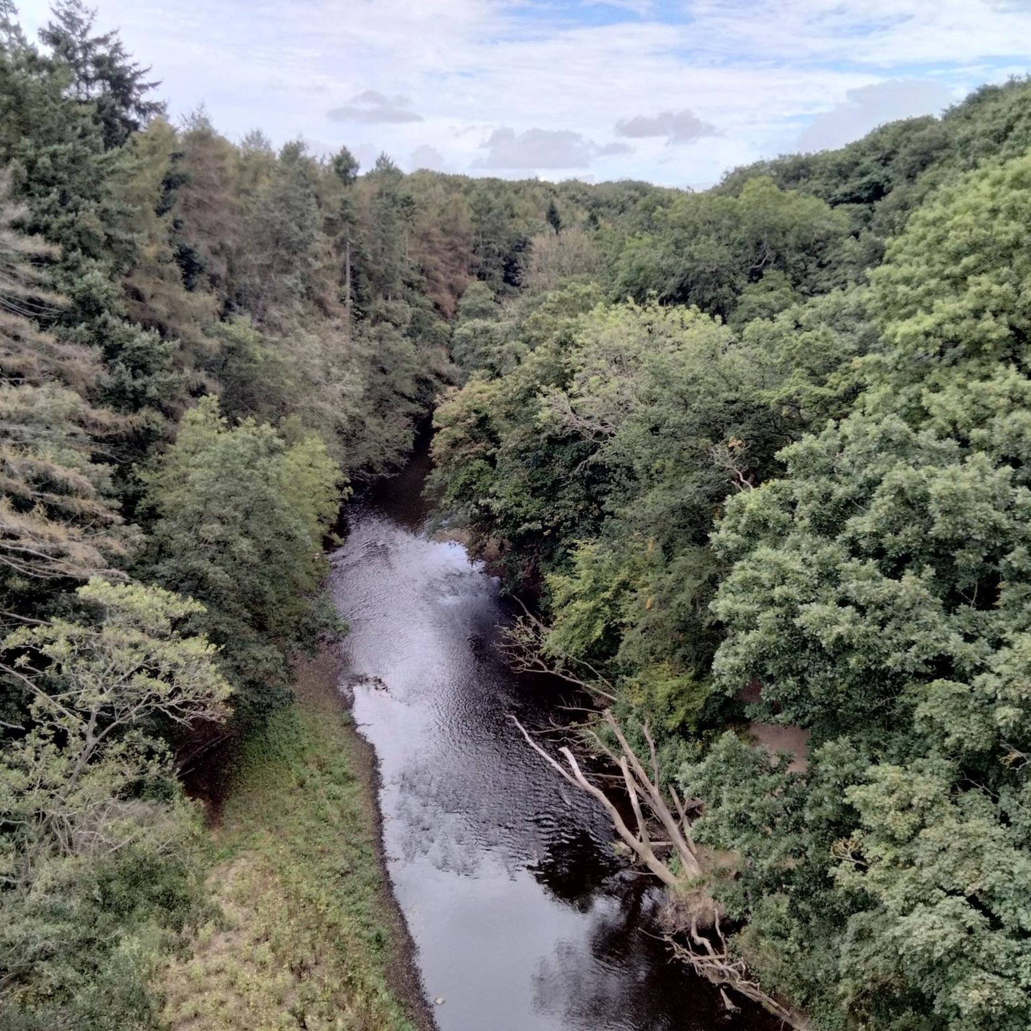
The Nidd Viaduct, otherwise known as the Bilton Viaduct spans the River Nidd. It was built in 1849 to carry the Leeds & Thirsk Railway across the Nidd Gorge.
0
0

Take the path down to the riverside to get a good view of the viaduct but be prepared for the steep scramble back to the top.
0
0
Frequently Asked Questions
How many road cycling routes are available around Killinghall?
There are over 475 road cycling routes around Killinghall, catering to various fitness levels. This includes 86 easy routes, 294 moderate routes, and 95 difficult routes, ensuring options for every rider.
What kind of terrain can I expect on road cycling routes near Killinghall?
The region around Killinghall offers diverse terrain, from rolling countryside and tranquil reservoirs to unique rock formations like Brimham Rocks. You'll find routes winding through woodlands, open fields, and established greenways, with a mix of paved surfaces and some unpaved segments for varied experiences.
Are there routes suitable for beginners or those looking for an easy ride?
Yes, Killinghall offers a good selection of routes suitable for beginners or those seeking an easier ride. There are 86 easy-grade routes available, many of which utilize flatter, traffic-free paths like those found along greenways, providing a gentler cycling experience.
Are there challenging road cycling routes for experienced riders?
Absolutely. For experienced riders seeking a challenge, there are 95 difficult-grade routes around Killinghall. These often feature significant elevation gains and more demanding terrain. An example is the Pateley Bridge – Thruscross Reservoir loop from Killinghall, which includes over 830 meters of ascent.
Are there any circular road cycling routes around Killinghall?
Many of the road cycling routes in Killinghall are designed as loops, allowing you to start and finish in the same location. For instance, the Cricket Field – Darley Road loop from Killinghall is a moderate 22.6 km circular route.
What natural features or landmarks can I see while road cycling near Killinghall?
Road cycling routes in the area often pass by stunning natural features and landmarks. You might encounter unique geological formations like Brimham Rocks, serene bodies of water such as Fewston Reservoir, or historic sites like Studley Royal Deer Park and Spofforth Castle Ruins.
Are there any scenic routes that pass by reservoirs?
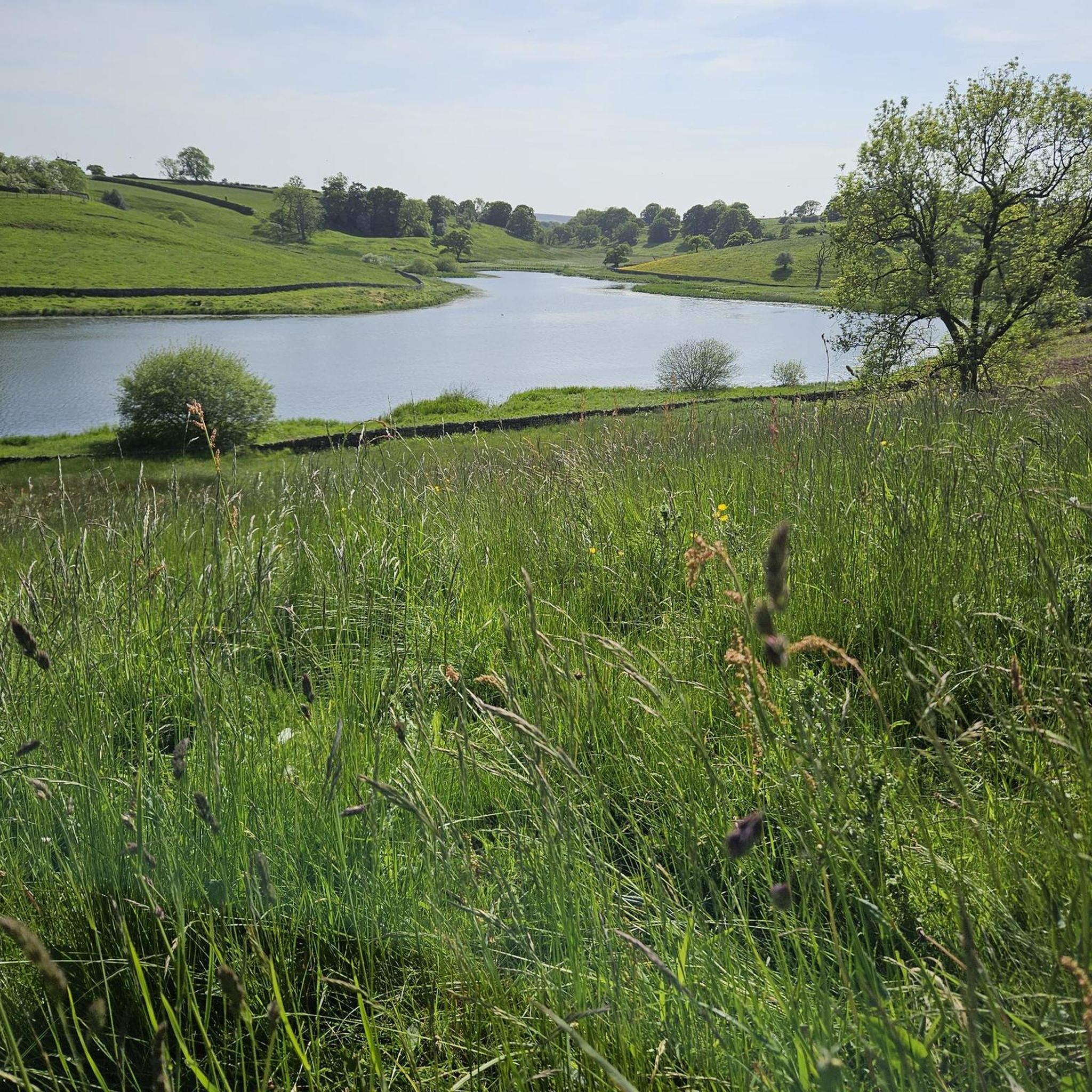
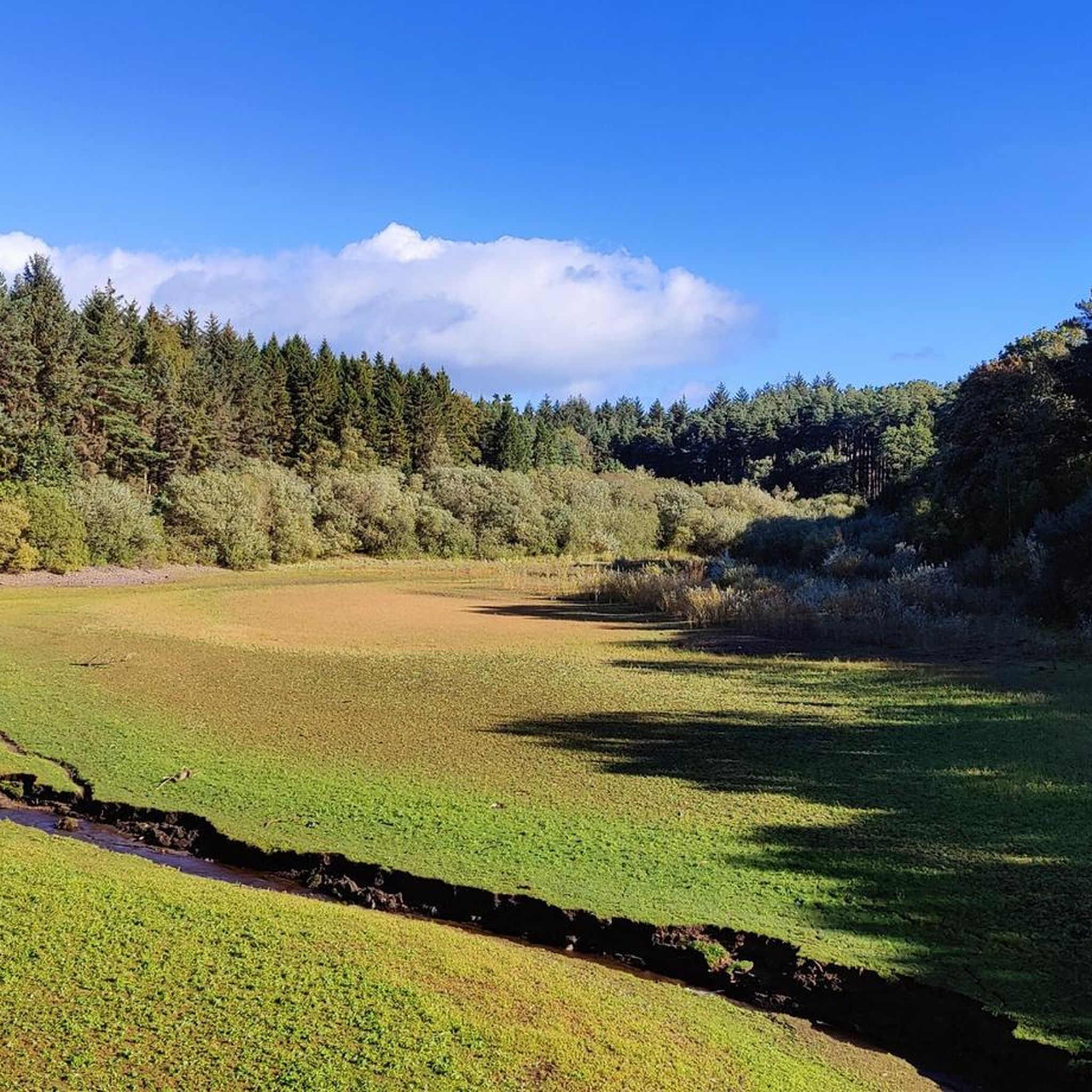
Yes, several scenic routes incorporate the region's tranquil reservoirs. Fewston Reservoir, for example, offers picturesque views and is often part of routes that wind through the surrounding countryside. Eccup Reservoir also provides a serene environment for nature lovers.
Is there parking available for road cyclists in Killinghall?
While specific parking areas for cyclists are not always designated, many routes start from towns or villages with public parking facilities. It's advisable to check local parking options in your chosen starting point, such as Harrogate or Hampsthwaite, before your ride.
Are there family-friendly road cycling options in the area?
Yes, the area is developing more family-friendly cycling options. The Nidderdale Greenway, which is connected to the wider network, often utilizes old railway lines, providing flatter, traffic-free paths ideal for families and those seeking a gentler ride. Look for easy-grade routes on komoot for suitable options.
Can I find places for a coffee or meal along the road cycling routes?
Yes, many routes pass through or near villages and towns that offer cafes, pubs, and other eateries. For example, the RAF Menwith Hill Radar Dome – Ripley Ice Cream Parlour loop from Hampsthwaite passes by the popular Ripley Ice Cream Parlour, perfect for a mid-ride treat.
What do other road cyclists say about the routes around Killinghall?
The road cycling routes around Killinghall are highly regarded by the komoot community, with an average rating of 4.6 out of 5 stars from over 150 reviews. More than 12,000 road cyclists have explored the varied terrain, often praising the scenic countryside and diverse route options.
When is the best time of year for road cycling in Killinghall?
The best time for road cycling in Killinghall is generally from spring through early autumn (April to October) when the weather is milder and daylight hours are longer. While some routes are accessible year-round, winter conditions can bring colder temperatures and potentially icy roads, requiring more caution.
Are there any routes that offer significant elevation gain for a workout?
Yes, if you're looking for a challenging workout with significant elevation gain, routes like the Pateley Bridge – Thruscross Reservoir loop from Killinghall offer over 830 meters of ascent. Another option is the Studley Royal Deer Park – Avenue at Studley Royal Deer Park loop from Harrogate International Centre, which features over 640 meters of climbing.
Most popular routes around Killinghall
Most popular attractions around Killinghall

Get inspired with the komoot mobile app


Explore more
Browse the best Road cycling routes in other regions.
