The best running trails around Thirn
4.8
(23)
1,429
runners
134
runs
Jogging around Thirn offers access to a tranquil and scenic environment in North Yorkshire, England. The region is characterized by its rural setting, with routes often following the banks of the River Ure and passing through ancient woodlands like Hackfall Wood. Varied trail networks, including open spaces such as Nutwith Common, provide diverse terrain for running. The landscape primarily consists of gentle elevations and agricultural land, suitable for various fitness levels.
Best jogging routes around Thirn
- The most popular jogging…
Last updated: October 25, 2026
5.0
(1)
23
runners
9.98km
01:02
70m
70m
Moderate run. Good fitness required. Mostly paved surfaces.
3
runners
9.28km
00:59
80m
80m
Moderate run. Good fitness required. Mostly paved surfaces.

5
runners
11.9km
01:16
80m
80m
Moderate run. Good fitness required. Mostly paved surfaces.
4
runners
8.44km
00:54
60m
60m
Moderate run. Good fitness required. Mostly paved surfaces.
4
runners
8.39km
00:53
60m
60m
Moderate run. Good fitness required. Mostly paved surfaces.
Get access to more routes and recommendations from other explorers.
Already have an account?
Our route recommendations are based on thousands of hikes, rides, and runs completed by other people on komoot.
Start today with a free account
Your next adventure awaits.

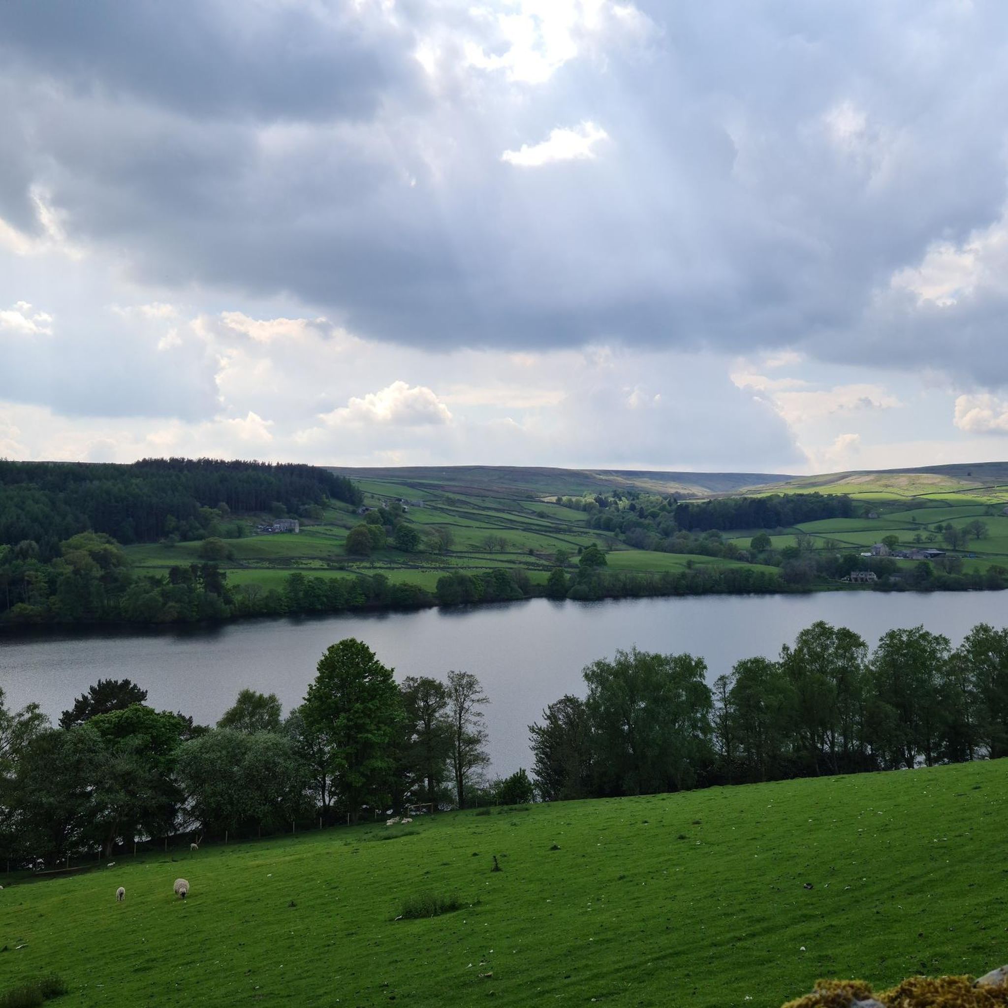
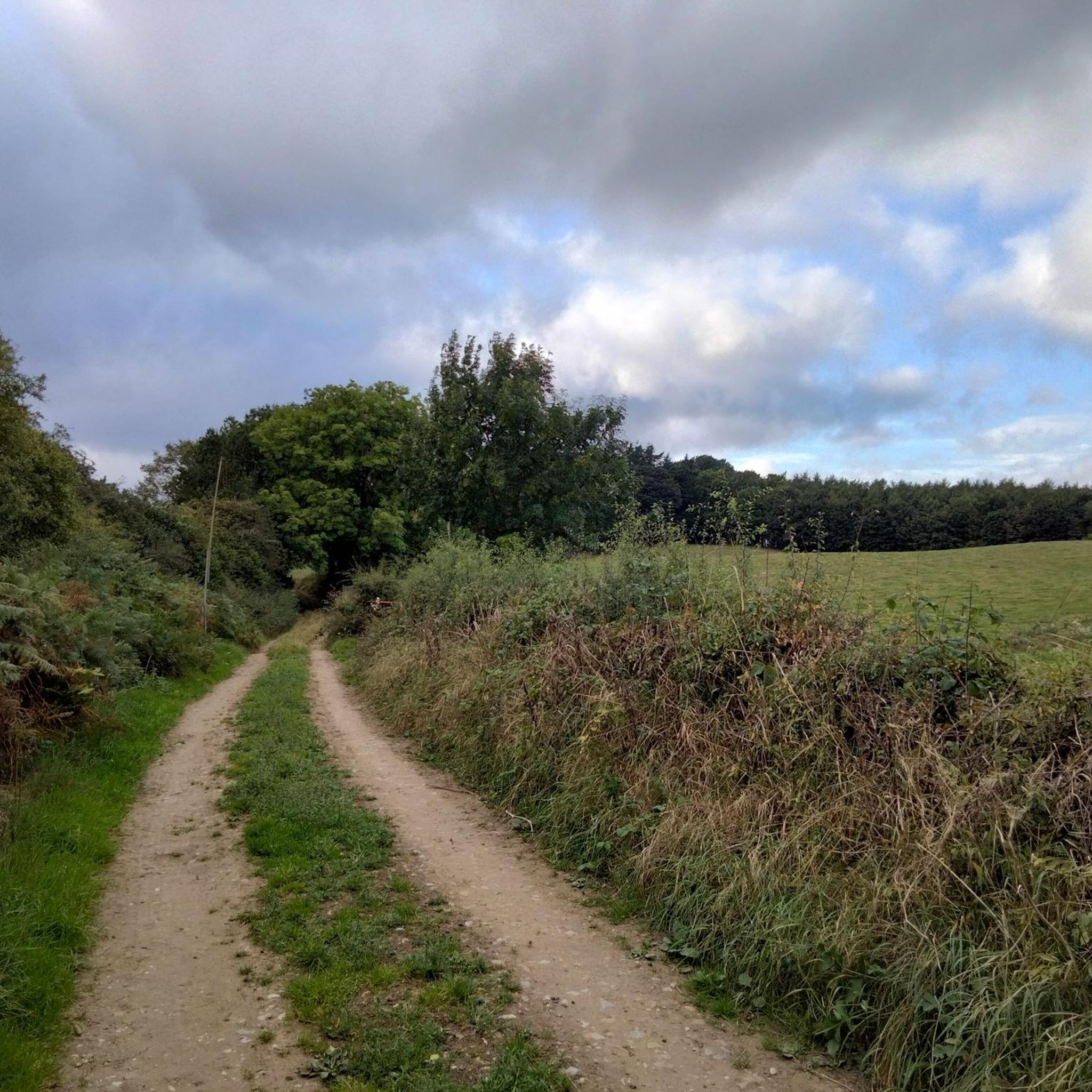
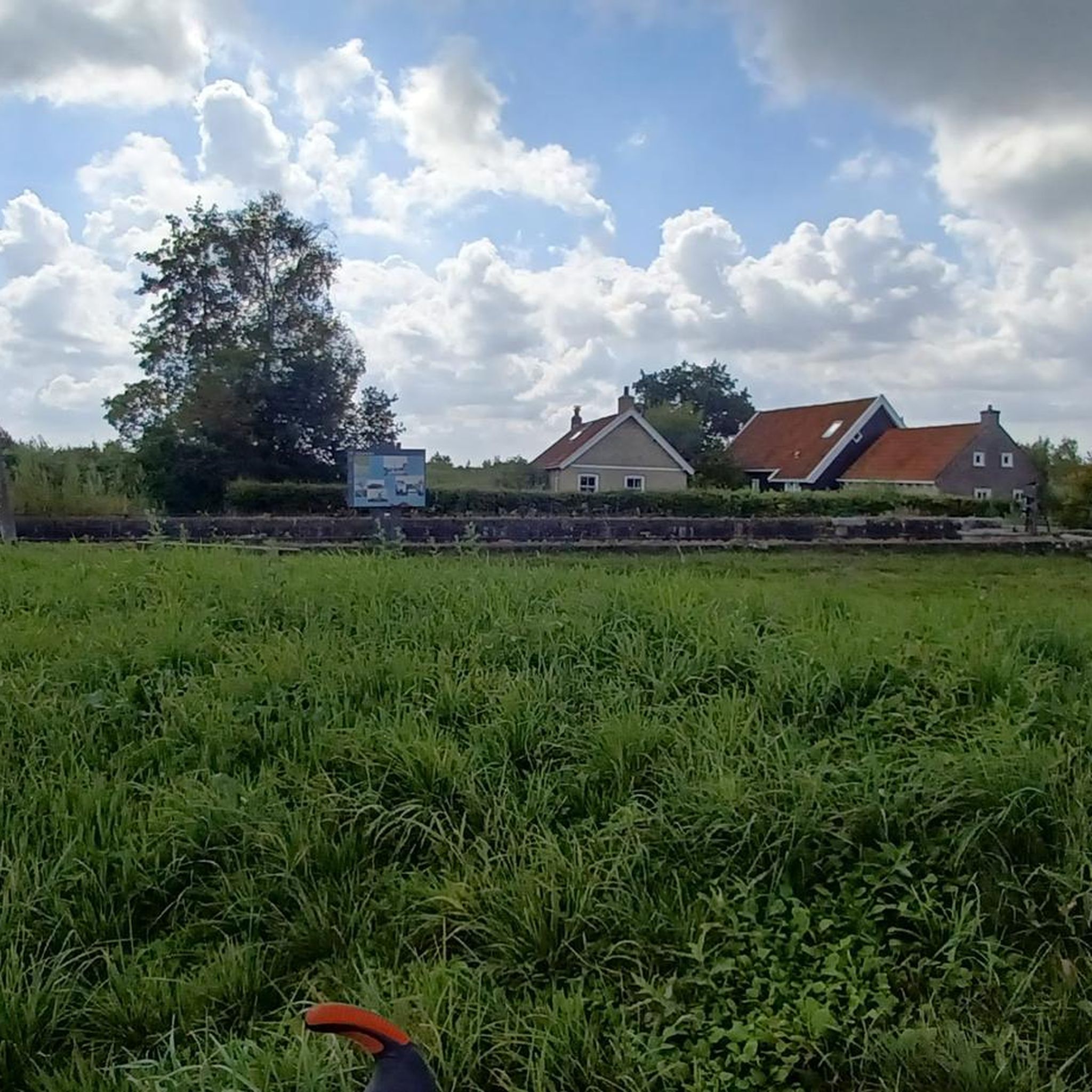
Tips from the Community


Bedale is a small market town in the district of Hambleton. It is on the edge of the Yorkshire Dales and is ideally situated for many of the Dales attractions.
0
0

Bedale is a thriving market town centred round a cobbled, Georgian square. It still continues its 750 year tradition of holding its market on a Tuesday. As it is on the edge of the Yorkshire Dales it makes for a great base for exploring further. There are a number of great cafes in the town or for something cycling specific try the Tandem Cafe on the Bedale Road heading north east from the centre. There a number of interesting historic buildings in Bedale, including Bedale Hall, the Leech House (used by an apothecary to store leeches) and the Old Grammar School.
0
0
Frequently Asked Questions
How many running routes are available around Thirn?
There are nearly 150 running routes around Thirn, offering a wide variety of options for different fitness levels. You'll find 10 easy routes, over 100 moderate trails, and 25 more challenging runs.
What kind of terrain can I expect on jogging trails near Thirn?
Jogging trails near Thirn primarily feature a tranquil, rural setting with gentle elevations and agricultural land. Many routes follow the scenic banks of the River Ure, pass through ancient woodlands like Hackfall Wood, and cross open common lands such as Nutwith Common, providing diverse scenery for your run.
Are there any circular jogging routes in the Thirn area?
Yes, many of the running routes around Thirn are circular. For example, the Church of St Mary loop from Thornton Watlass offers a moderate 9.3 km circular run, taking you through picturesque countryside.
What do other runners enjoy most about the trails in Thirn?
The running trails around Thirn are highly rated by the komoot community, with an average score of 4.8 stars from over 15 reviews. Runners often praise the peaceful atmosphere, varied terrain, and the opportunity to explore the beautiful North Yorkshire countryside.
Are there any interesting landmarks or attractions to see while running near Thirn?
Yes, several routes pass by notable landmarks and natural features. You might encounter the ancient Hackfall Wood, the tranquil Hackfall Fountain Pond, or even the impressive Middleham Castle on some longer excursions. The Harmby Waterfall is another beautiful natural monument worth seeking out.
Are there any easy running routes suitable for beginners or a relaxed jog?
Absolutely. Thirn offers 10 easy running routes perfect for beginners or those looking for a relaxed jog. These trails typically have minimal elevation gain and follow well-maintained paths, allowing you to enjoy the scenery at a comfortable pace.
Can I find running routes that pass through villages or market towns?
Yes, some routes connect or pass through local villages and market towns. For instance, the Bedale – Bedale Market Town loop from Burrill with Cowling is a moderate 12 km route that takes you to the charming Bedale Market Town, offering a chance to experience local life.
What are some popular moderate running trails in the Thirn area?
Many runners enjoy the moderate trails around Thirn. A popular choice is the Crakehall Village Green loop from Newton-le-Willows, which is a 11.1 km path winding through rural villages and open fields, providing a peaceful running experience.
Are there any running routes that go through woodlands?
Yes, the region is known for its ancient woodlands. The Cocked Hat Plantation loop from Newton-le-Willows is a 7.6 km trail that leads directly through Cocked Hat Plantation and nearby farmlands, offering a refreshing forest running experience.
What is the typical duration for a running route around Thirn?
The duration of running routes around Thirn varies greatly depending on the distance and your pace. For example, a moderate 10 km route like the Costa Coffee loop from Burrill with Cowling typically takes about 1 hour and 2 minutes to complete.
Is Thirn a good location for exploring the River Ure while running?
Thirn's proximity to the River Ure makes it an excellent location for waterside runs. Many routes offer serene views along the riverbanks, providing a peaceful and picturesque backdrop for your jogging experience.
Most popular routes around Thirn
Most popular attractions around Thirn

Get inspired with the komoot mobile app


Explore more
Browse the best Running Trails & Routes in other regions.
