The best road cycling routes around Landmoth-Cum-Catto
4.2
(50)
2,030
riders
213
rides
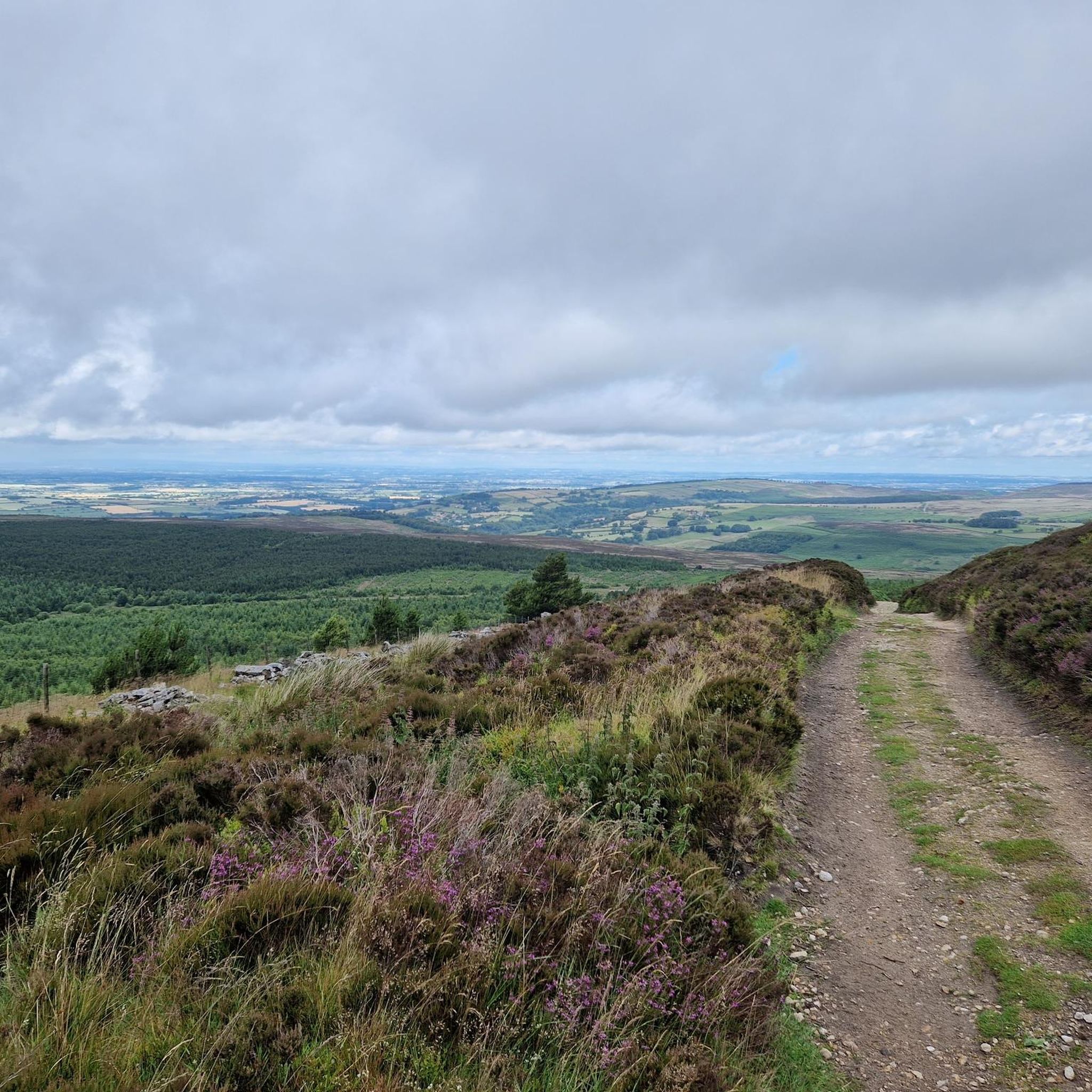
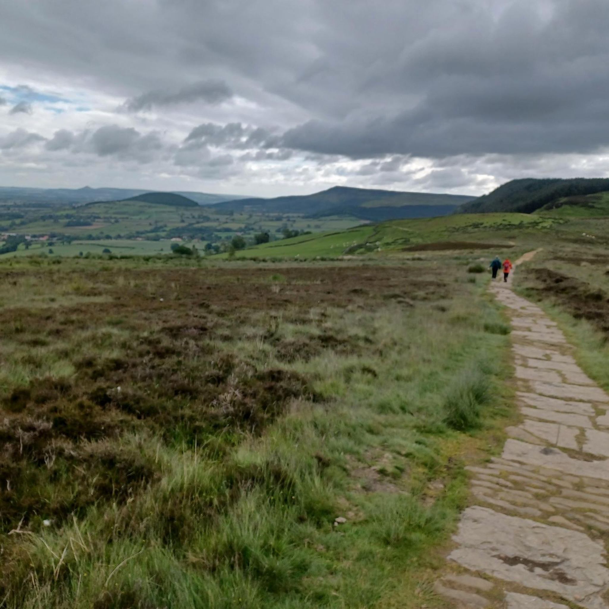
Road cycling around Landmoth-Cum-Catto offers access to varied terrain within North Yorkshire, bordering the North York Moors National Park and situated in the Vale of Mowbray. The landscape transitions from tranquil, low-lying agricultural land with open farmland and gentle undulations in the Vale, to the expansive heather moorland and deep valleys of the adjacent National Park. This provides road cyclists with options ranging from relaxed rides through rural scenes to more challenging routes with significant climbs.
Best road cycling routes…
Last updated: May 13, 2026
4.0
(1)
43
riders
45.9km
02:18
330m
330m
Moderate road ride. Good fitness required. Mostly well-paved surfaces and easy to ride.
38
riders
49.6km
02:30
380m
380m
Moderate road ride. Good fitness required. Mostly well-paved surfaces and easy to ride.

Sign up for free
5.0
(1)
23
riders
61.0km
02:46
200m
200m
Moderate road ride. Good fitness required. Mostly well-paved surfaces and easy to ride.
14
riders
25.0km
01:37
290m
290m
Easy road ride. Great for any fitness level. Mostly well-paved surfaces and easy to ride.
10
riders
48.2km
02:09
210m
210m
Moderate road ride. Good fitness required. Mostly well-paved surfaces and easy to ride.
Get access to more routes and recommendations from other explorers.
Sign up for free
Already have an account?
Our route recommendations are based on thousands of hikes, rides, and runs completed by other people on komoot.
Start today with a free account
Your next adventure awaits.
Login or Signup
Tips from the Community

Ainderby Steeple is a village in the Hambleton district, North Yorkshire. It was originally part of the North Riding of Yorkshire. It is located around 2.6 miles away from Northallerton.
0
0

Castle Lodge is quite an impressive building to look at. Built on the sides of a daunting hill, on slightly open land in front, the views from the castle must be impressive
0
0
Close to this bridge I was able to park the car, away from the town centre car parking that you have to pay for, which is £1.40 per hour as of April 2024. There are plenty spaces besides the houses. This bridge has small single tracks running parallel to the river
0
0


Pallet Hill 186.61m P27.7 (612ft) County of Yorkshire Definitive List Summit
0
0

Another 60 miles (over 96 km) to Robin Hood's Bay, this sign encourages the C2C walker.
1
0
Church with a number of originally Norman elements (including the late 11th-century carved tympanum above the south door) in an otherwise mainly English architecture. The windows (with arabesque carvings) on the west side of the nave are Jacobean; the date given with the names of the churchwardens is 1640.
0
0
Frequently Asked Questions
How many road cycling routes are available around Landmoth-cum-Catto?
There are over 200 road cycling routes available around Landmoth-cum-Catto, offering a wide range of options for different skill levels. This includes 48 easy routes, 144 moderate routes, and 25 difficult routes for more experienced riders.
What kind of terrain can I expect when road cycling near Landmoth-cum-Catto?
The terrain varies significantly. Within the Vale of Mowbray, where Landmoth-cum-Catto is situated, you'll find tranquil, low-lying agricultural land with open farmland and gentle undulations, ideal for relaxed rides. To the east, bordering the North York Moors National Park, the landscape becomes more challenging with expansive heather moorland, deep valleys, and significant climbs like Sutton Bank and Rosedale Chimney.
What is the best time of year for road cycling in this region?
The best time for road cycling in the Landmoth-cum-Catto area is generally from spring through autumn. During these seasons, the weather is more favorable, and the landscapes of both the Vale of Mowbray and the North York Moors are at their most scenic. Winter cycling is possible but can be challenging due to colder temperatures and potentially adverse road conditions, especially on higher moorland routes.
Are there options for less experienced road cyclists?
Yes, the area offers numerous options for less experienced road cyclists. The Vale of Mowbray provides relatively flat or gently undulating routes through open farmland. For example, the Howe Hill – Castle Lodge loop from Cowesby is an easy 24.7 km route, perfect for a more relaxed ride.
Are there challenging road cycling routes for experienced riders?
Absolutely. For experienced riders seeking a challenge, the routes extending into the North York Moors National Park offer significant climbs and demanding ascents. While specific challenging routes are not listed here, the region is known for its difficult terrain, including famous climbs like Sutton Bank, providing a rigorous workout with rewarding panoramic views.
Can I find circular road cycling routes in the area?
Yes, many of the road cycling routes around Landmoth-cum-Catto are circular, allowing you to start and finish at the same point. Examples include the popular Decorated Post Box – Yorks of Thirsk Café loop from Landmoth-cum-Catto and the White Horse Café – Decorated Post Box loop from Crosby, both offering varied scenery.
What landmarks or viewpoints can I see while road cycling around Landmoth-cum-Catto?
The region offers several interesting landmarks and viewpoints. You might encounter historical sites like Marigold Hall and Catto Hall, both Grade II listed buildings. For scenic views, consider routes that pass near Beacon Hill Summit or Sneck Yate Bank. Other points of interest include Cod Beck Reservoir and the charming Osmotherley Village Green and Medieval Cross.
What do other road cyclists enjoy most about the routes around Landmoth-cum-Catto?
The road cycling routes around Landmoth-cum-Catto are highly rated by the komoot community, with an average score of 4.2 stars from over 40 reviews. Cyclists often praise the varied terrain, from the peaceful agricultural landscapes of the Vale of Mowbray to the more challenging and scenic routes bordering the North York Moors, offering something for every ability level.
Is parking available for road cyclists in Landmoth-cum-Catto?
While specific parking facilities for cyclists in Landmoth-cum-Catto itself are not detailed, the surrounding villages and towns, particularly those serving as popular starting points for routes into the North York Moors, typically offer public parking options. It's advisable to check local information for parking availability at your chosen starting point.
Are there places to stop for refreshments or accommodation along the routes?
Yes, the region is well-equipped with places to stop. Many routes pass through or near villages and towns where you can find cafes, pubs, and accommodation. For example, the Decorated Post Box – Yorks of Thirsk Café loop explicitly mentions a café, and High Paradise Farm Tearoom is a notable stop in the wider area. Osmotherley village, a short distance away, also offers amenities for cyclists.
Are there family-friendly road cycling options?
Yes, the gentler, less undulating routes within the Vale of Mowbray are suitable for family-friendly road cycling. These routes often feature quieter roads through open farmland, providing a safer and more enjoyable experience for families. Always check the route's difficulty and elevation profile on komoot to ensure it matches your family's capabilities.
Are there any long-distance road cycling routes nearby?
Yes, the Landmoth-cum-Catto area serves as an excellent base for accessing longer road cycling routes. Notably, the 171-mile North York Moors Cycleway passes through the wider region, offering a significant long-distance challenge that showcases extensive moorland scenery. While this is a multi-day route, sections can be incorporated into longer day rides from Landmoth-cum-Catto.
Most popular attractions around Landmoth-Cum-Catto

Get inspired with the komoot mobile app


Explore more
Browse the best Road cycling routes in other regions.
