The best walks and hikes around Twyford And Thorpe
4.4
(200)
1,099
hikers
169
hikes
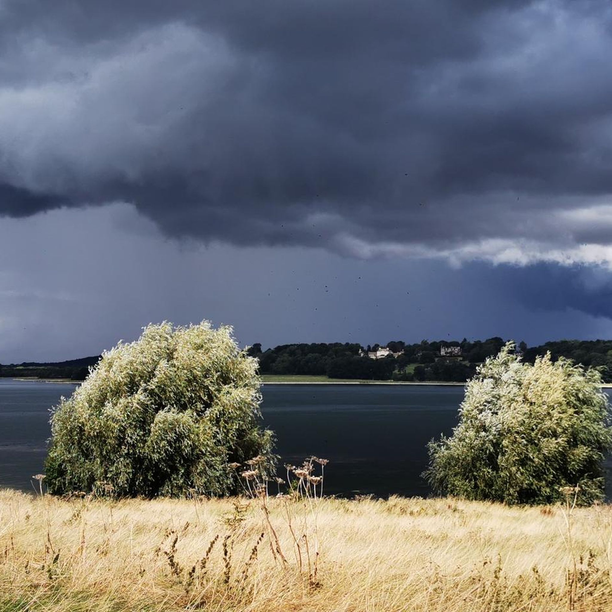
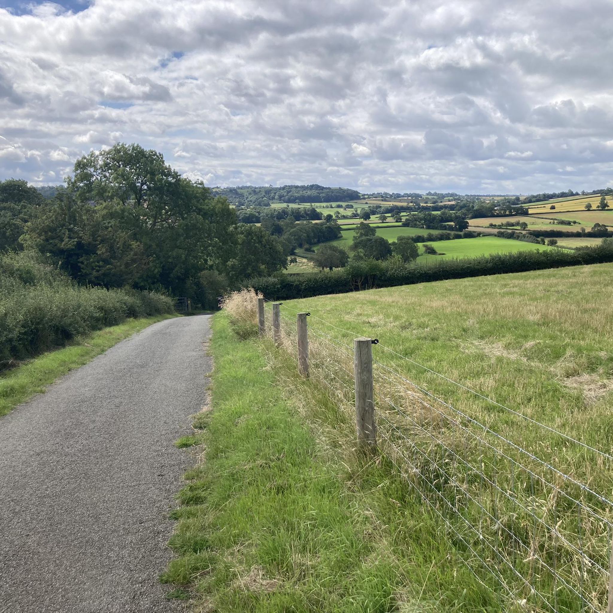
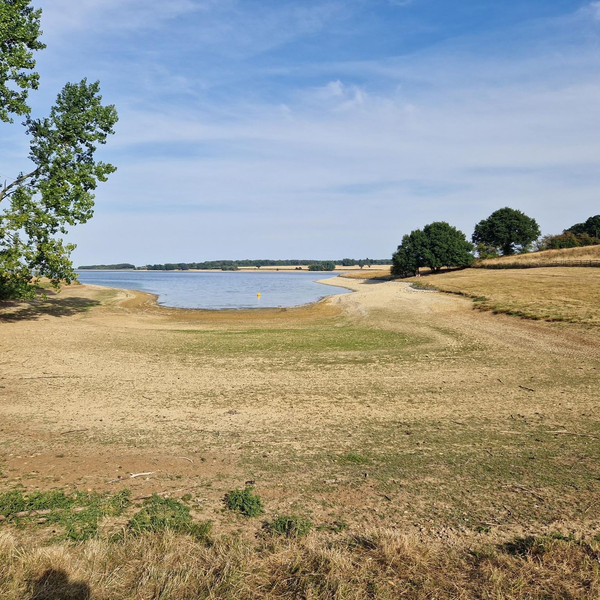
Hiking around Twyford And Thorpe offers diverse landscapes within the rolling Leicestershire countryside. The area features undulating hills, expansive pasture, and crop fields. A prominent landmark is the Burrough Hill Iron Age Fort, providing elevated perspectives. Trails traverse across fields, through woods, and along bridleways, offering varied terrain for outdoor activities.
Best hiking trails around Twyford And Thorpe
- The most popular hiking route is Burrough Hill Iron Age Fort to Burton Lazars loop, a 9.7 miles (15.5 km) trail…
Last updated: May 14, 2026
4.6
(18)
39
hikers
15.5km
04:08
170m
170m
Moderate hike. Good fitness required. Mostly accessible paths. Sure-footedness required.
3.5
(4)
17
hikers
Easy hike. Great for any fitness level. Easily-accessible paths. Suitable for all skill levels.

Sign up for free
4.7
(3)
14
hikers
Easy hike. Great for any fitness level. Easily-accessible paths. Suitable for all skill levels.
3.0
(1)
9
hikers
8.56km
02:15
70m
70m
Moderate hike. Good fitness required. Easily-accessible paths. Suitable for all skill levels.
4.3
(3)
9
hikers
6.63km
01:45
60m
60m
Easy hike. Great for any fitness level. Easily-accessible paths. Suitable for all skill levels.
Get access to more routes and recommendations from other explorers.
Sign up for free
Already have an account?
Our route recommendations are based on thousands of hikes, rides, and runs completed by other people on komoot.
Start today with a free account
Your next adventure awaits.
Login or Signup

Tips from the Community

St Luke’s Church is a Grade I listed building formerly associated with the Knights Templar. Known for its magnificent decorated-style architecture, 14th-century south chapel, and landmark broach spire, the church was significantly restored in 1859. Founded in the 12th century, the church was originally a chapel attached to the Knights Templar preceptory at Rothley.
0
0


Situated between Burrough on the Hill and Somerby, south of Melton Mowbray, Burrough Hill Country Park is a significant and well-preserved Iron Age hill fort. Besides its historical importance, the park provides diverse wildlife habitats and various areas for visitors. Once known for foxhunting and as the reputed birthplace of Stilton cheese, the area has transformed into a mix of arable, dairy, beef, and sheep farming today.
0
0

Burrough Hill - Iron Age hillfort in Burrough on the Hill, 7 miles south of Melton Mowbray. Situated on a promontory about 210 metres (690 ft) above sea level, the site commands views over the surrounding countryside for miles around.
0
0

Ashby Folville is a lovely quiet Leicestershire village with pretty chestnut tree-lined lanes and a 1,000 year old church. The charming village pub serves good ales with pub grub to boot. Quite the spot to take a break. Head east on Folville Street to the heart of the village.
2
0

Burrough Hill (210m) commands views over the surrounding countryside for miles around. A great place for a hill fort as discovered back in the early Iron age.
1
0

Beautiful wooded area with lots of wildlife - birds, muntjack deer, lovely trees.
1
0
A great place to stop and have a picnic, just a short walk from the car park, with extensive views of the surroundings There's a toposcope to help identify things. The grassy area inside the earthbanks is an ideal safe area for children to play and work off their energy.
0
0
Frequently Asked Questions
How many hiking trails are available in Twyford And Thorpe?
There are over 170 hiking routes around Twyford And Thorpe, offering a wide variety of options for different skill levels and preferences. The komoot community has explored these trails over 1000 times, providing valuable insights and ratings.
What kind of terrain can I expect on hikes around Twyford And Thorpe?
The terrain in Twyford And Thorpe is characterized by the rolling Leicestershire countryside, featuring undulating hills, expansive pasture, and crop fields. Trails traverse across fields, through woods, and along bridleways, offering a diverse walking experience.
Are there easy hiking options suitable for beginners or families?
Yes, there are plenty of easy hiking options. Approximately 70 of the routes are classified as easy. An example is the Burrough Hill Iron Age Fort – Burrough Hill Summit loop from Burrough on the Hill, an easy 3.0-mile (4.9 km) path offering panoramic views from the summit.
What are some notable landmarks or attractions I can see while hiking?
A significant historical and natural landmark is the Burrough Hill Iron Age Fort, which offers panoramic views. You can explore its remains on routes like the Burrough Hill Iron Age Fort to Burton Lazars loop. Other points of interest include Burrough Hill Country Park and Whissendine Level Crossing.
Are there any circular hiking routes in the area?
Many of the routes around Twyford And Thorpe are circular, allowing you to start and end at the same point. For instance, the Footbridge Over the Ford loop from Gaddesby is a 3.9-mile (6.3 km) circular trail through fields and village landscapes.
What do other hikers say about the trails in Twyford And Thorpe?
The area is highly rated by the komoot community, with an average score of 4.5 stars from over 180 reviews. Hikers often praise the varied terrain, the scenic rolling countryside, and the historical elements like the Burrough Hill Iron Age Fort.
Can I find longer, more challenging hikes in Twyford And Thorpe?
Yes, there are moderate to difficult options for those seeking a longer challenge. For example, the Burrough Hill Iron Age Fort to Burton Lazars loop is a moderate 9.7-mile (15.5 km) trail, and the Owston Lane – Countryside Trail Near Tilton loop from Twyford and Thorpe covers 14.5 km with moderate difficulty.
Are there opportunities to visit charming villages during a hike?
Absolutely. Many hiking routes connect or pass through quaint villages such as Somerby, Thorpe Satchville, Owston, Gaddesby, Billesdon, Rearsby, and Hoby. These offer opportunities to experience local charm and amenities, and some may have pubs or cafes.
Is parking available near the trailheads?
While specific parking details vary by trailhead, many routes in the Leicestershire countryside, including those around Twyford And Thorpe, typically have roadside parking or designated car parks in nearby villages or at popular starting points like Burrough Hill Country Park.
What is the best time of year to go hiking in Twyford And Thorpe?
The rolling Leicestershire countryside is enjoyable throughout the year. Spring and summer offer lush green landscapes and pleasant weather, while autumn brings beautiful foliage. Winter hikes can be crisp and clear, though paths might be muddy. Always check local weather conditions before heading out.
Are there any cafes or pubs along the hiking routes?
Yes, some routes pass through or near charming villages that may offer local pubs or cafes. For example, Café Ventoux is a notable spot in the vicinity, and many villages mentioned in the region research often have local establishments.
Most popular routes around Twyford And Thorpe
Most popular attractions around Twyford And Thorpe

Get inspired with the komoot mobile app


Explore more
Browse the best Hikes in other regions.
