The best walks and hikes around Westrill And Starmore
4.3
(263)
1,394
hikers
132
hikes
Hiking around Westrill And Starmore features a landscape characterized by gentle hills, open rural paths, and sections alongside canals. The area offers a network of trails that traverse agricultural land and provide views from local elevations like Honey Hill. Waterways such as the Welford Arm Junction are prominent features in several routes. The terrain generally includes varied surfaces suitable for walking.
Best hiking trails around Westrill And Starmore
- The most popular hiking route is The Gatehouses at Arbury Hill –…
Last updated: October 9, 2026
4.8
(16)
32
hikers
Moderate hike. Good fitness required. Easily-accessible paths. Suitable for all skill levels.
4.5
(2)
44
hikers
17.2km
04:33
160m
160m
Moderate hike. Good fitness required. Easily-accessible paths. Suitable for all skill levels.

4.7
(14)
37
hikers
13.8km
03:37
110m
110m
Moderate hike. Good fitness required. Easily-accessible paths. Suitable for all skill levels.
4.0
(1)
9
hikers
6.70km
01:47
70m
70m
Easy hike. Great for any fitness level. Easily-accessible paths. Suitable for all skill levels.
3.0
(1)
11
hikers
11.4km
02:58
80m
80m
Moderate hike. Good fitness required. Easily-accessible paths. Suitable for all skill levels.
Get access to more routes and recommendations from other explorers.
Already have an account?
Our route recommendations are based on thousands of hikes, rides, and runs completed by other people on komoot.
Start today with a free account
Your next adventure awaits.
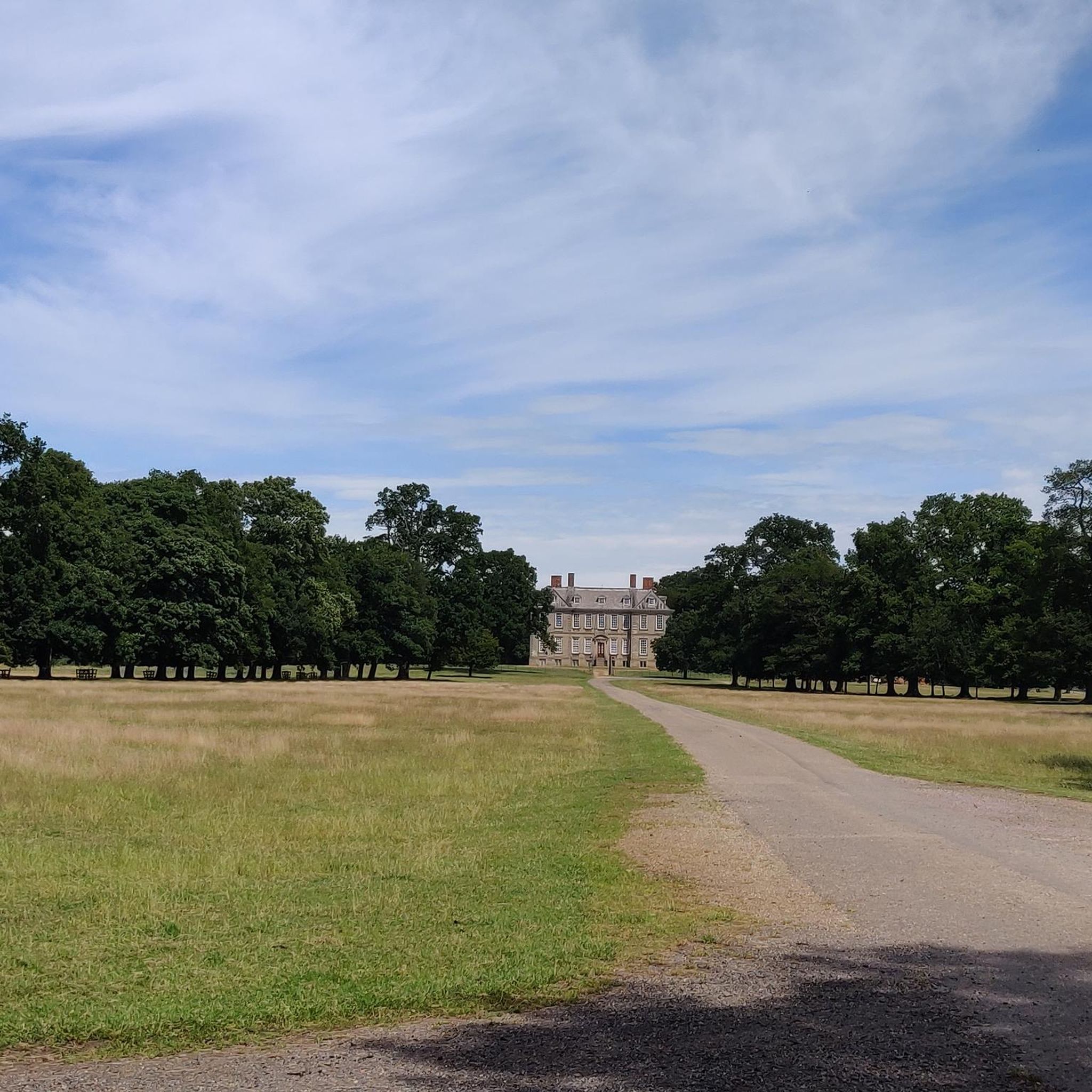

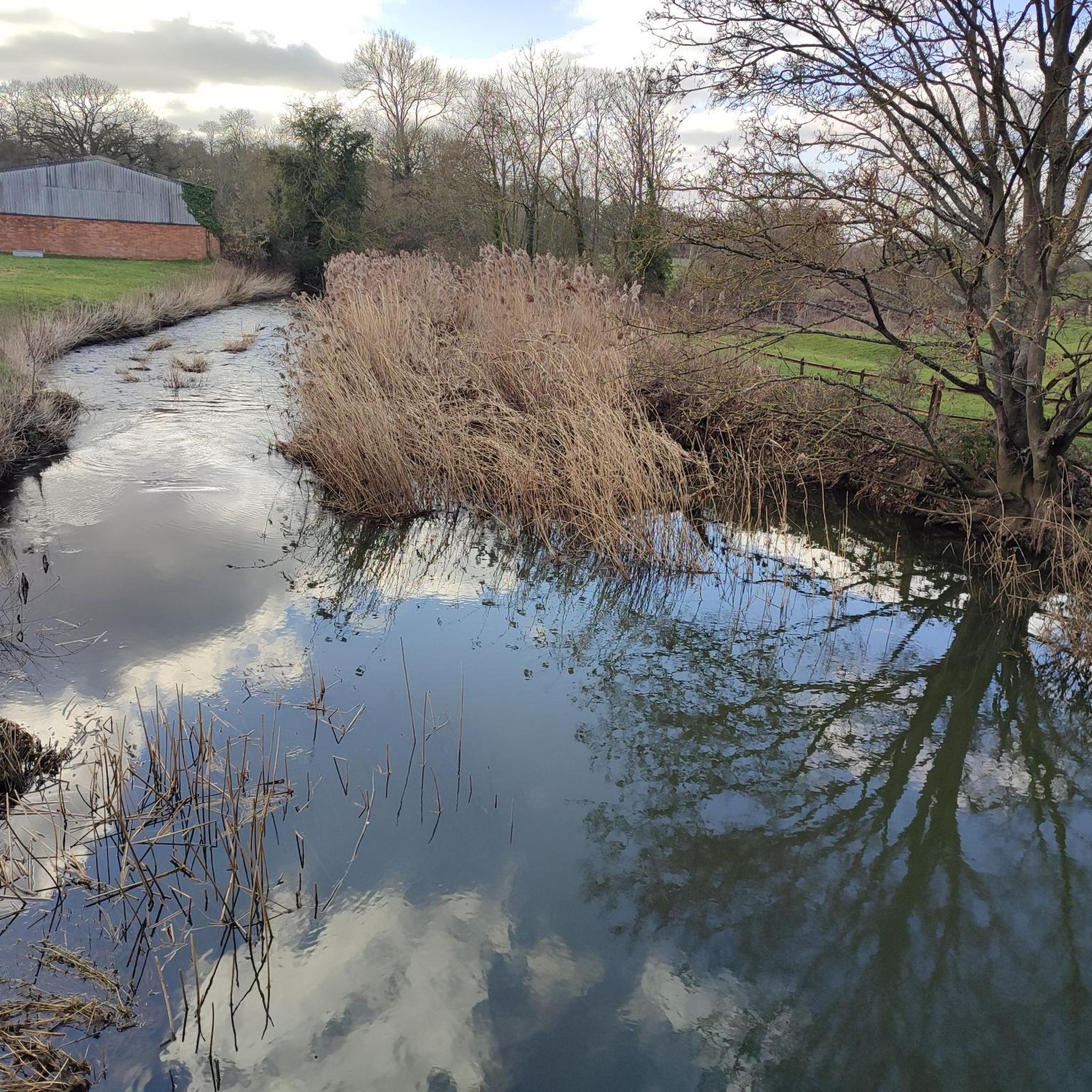
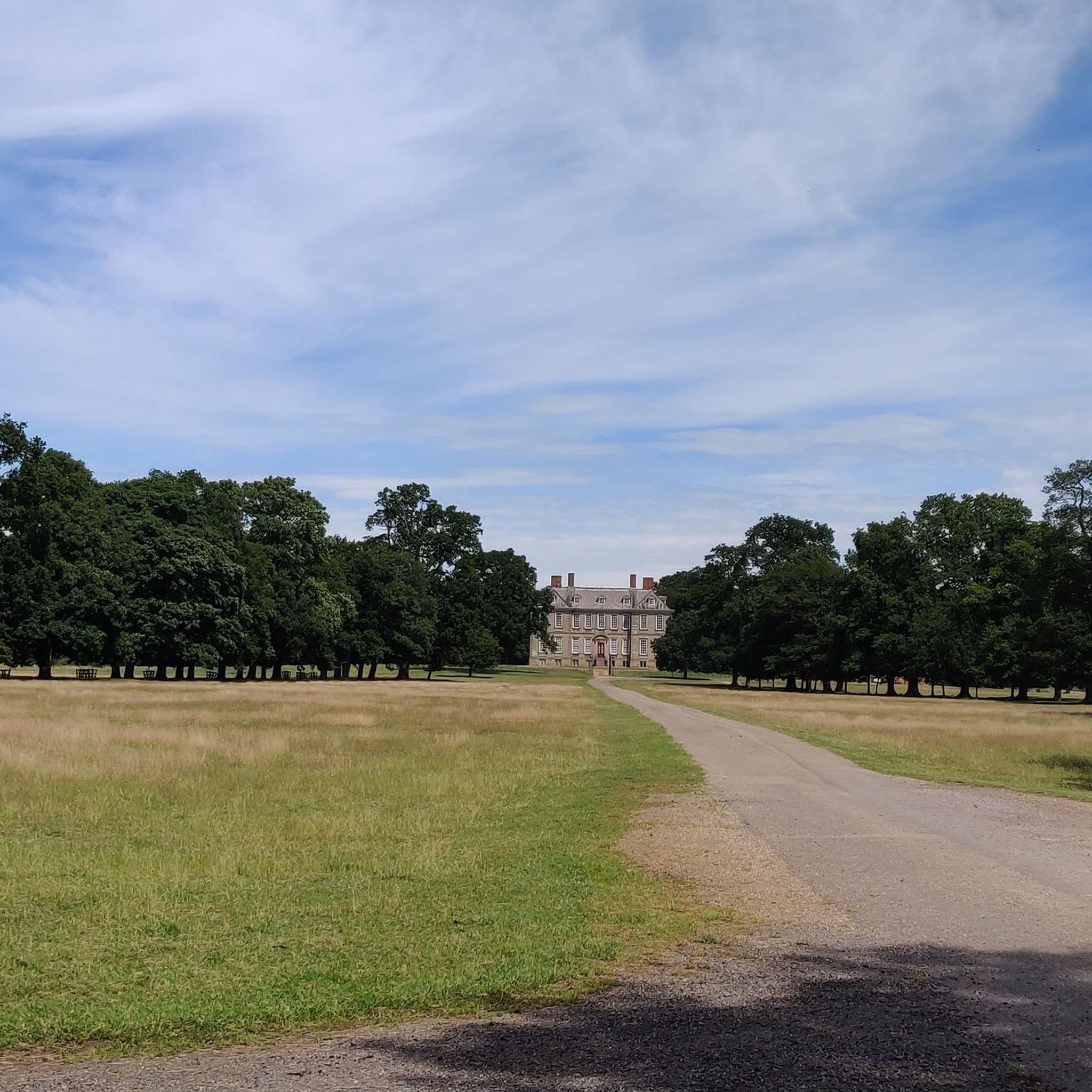
Tips from the Community


Great Little Cafe with Friendly Staff. Indoor and Outdoor Seating. Not much room for bikes but solo or small groups definitely worth a stop if you are passing.
0
0

I had to detour round the edge if a ploughed field but easily done
2
0

Don't know why Komoot says cycling not permitted here as it is a designated Bridleway.
0
0

A lovely stop with seating inside or outside. Modern Cafe And Delicatessen Serving Hot And Cold Drinks, Light Bites, Homemade Cakes, Pies and much more
0
0


The Hemplow Hills combine vibrant woodland with stirring vistas to make walking here a delight. They are one of the most scenic sections of the Jurassic Way long-distance trail, boasting beautiful views of the surrounding countryside, particularly towards neighbouring Honey Hill.
0
0
Frequently Asked Questions
How many hiking trails are available around Westrill And Starmore?
There are over 140 hiking trails around Westrill And Starmore. These routes vary in difficulty, with a good mix of easy, moderate, and a few more challenging options to explore.
Are there easy hiking options suitable for beginners or casual walkers?
Yes, Westrill And Starmore offers over 70 easy routes. A great option for a relaxed stroll is the Forest Rest Spot – Brick Arch Bridge on Canal loop from Stanford, which is 4.2 miles (6.7 km) long and features gentle terrain.
What kind of terrain can I expect on the hiking trails in Westrill And Starmore?
The terrain around Westrill And Starmore is characterized by gentle hills, open rural paths, and picturesque sections alongside canals. You'll often traverse agricultural land and enjoy views from local elevations like Honey Hill. Surfaces are generally suitable for walking.
Are there any circular walks recommended in the area?
Many of the trails in Westrill And Starmore are circular, offering convenient starting and ending points. A popular circular route is the Welford Wharf – Welford Arm Junction loop from North Kilworth, which is 8.6 miles (13.7 km) and takes you through canal-side scenery.
What are some interesting landmarks or attractions to see while hiking?
Along the trails, you can discover several points of interest. The Oxford Canal Locks and Narrowboats offer a glimpse into the region's waterways, while the Welford and Sulby Reservoirs provide scenic views. You might also encounter the Wind Turbine Road for a modern landmark.
Are there any challenging hiking trails for experienced hikers?
While the area is predominantly known for its easy to moderate routes, there are a few trails that offer a bit more challenge. For instance, the Honey Hill Trig Point – View from Honey Hill loop from Yelvertoft is a moderate 10.7 miles (17.2 km) path with more elevation gain, providing panoramic views from Honey Hill.
Is Westrill And Starmore suitable for family-friendly walks?
Yes, the gentle nature of many trails and the presence of canal-side paths make Westrill And Starmore ideal for family walks. The shorter, easy routes are particularly well-suited for families with children, offering safe and enjoyable outdoor experiences.
What do other hikers enjoy the most about hiking in Westrill And Starmore?
The area is highly rated by the komoot community, with an average score of 4.4 stars from over 200 reviews. Reviewers often praise the peaceful open countryside, the charming canal-side sections, and the well-maintained paths that make for enjoyable walks.
Are there specific routes that offer good viewpoints?
Yes, for excellent views, consider routes that ascend to local elevations. The Cracks Hill Viewpoint loop from Yelvertoft is a good option, offering vistas from Cracks Hill. Similarly, the Honey Hill routes provide expansive panoramic scenery.
Is public transport available to access hiking trailheads?
Access to trailheads in Westrill And Starmore primarily relies on local bus services to nearby villages. It's advisable to check specific bus routes and timetables for the villages closest to your chosen trailhead, as services can be less frequent in rural areas.
Where can I find parking for hiking trails in Westrill And Starmore?
Parking is generally available in the villages surrounding Westrill And Starmore, such as Stanford, Yelvertoft, and North Kilworth. Look for designated village car parks or consider parking responsibly on street where permitted, especially near popular starting points for trails.
Are the hiking trails in Westrill And Starmore dog-friendly?
Most trails in Westrill And Starmore are dog-friendly, especially those traversing open countryside and canal paths. However, as many routes pass through agricultural land, it's essential to keep dogs on a lead, particularly near livestock, and to follow the Countryside Code.
Most popular attractions around Westrill And Starmore

Get inspired with the komoot mobile app


Explore more
Browse the best Hikes in other regions.
