The best MTB trails around Penwortham
4.3
(130)
558
riders
31
rides
Mountain biking around Penwortham offers a variety of routes through the Ribble Valley landscape. The area features a mix of riverside paths, canal towpaths, and rolling terrain, providing diverse riding experiences. Expect routes that traverse open fields, pass by historical railway lines, and explore local parklands. The region's geography is characterized by its proximity to the River Ribble and a network of waterways, making for generally accessible trails.
Best mountain bike trails around Penwortham
- The most popular mountain bike trail…
Last updated: October 25, 2026
4.2
(72)
186
riders
35.1km
01:58
160m
160m
Easy mountain bike ride.
4.2
(6)
12
riders
Easy mountain bike ride.

4.3
(3)
7
riders
51.4km
03:39
680m
680m
Moderate mountain bike ride. Good fitness required.
4.0
(2)
15
riders
21.1km
01:12
100m
100m
Easy mountain bike ride.
3
riders
Easy mountain bike ride.
Get access to more routes and recommendations from other explorers.
Already have an account?
Our route recommendations are based on thousands of hikes, rides, and runs completed by other people on komoot.
Start today with a free account
Your next adventure awaits.


Tips from the Community

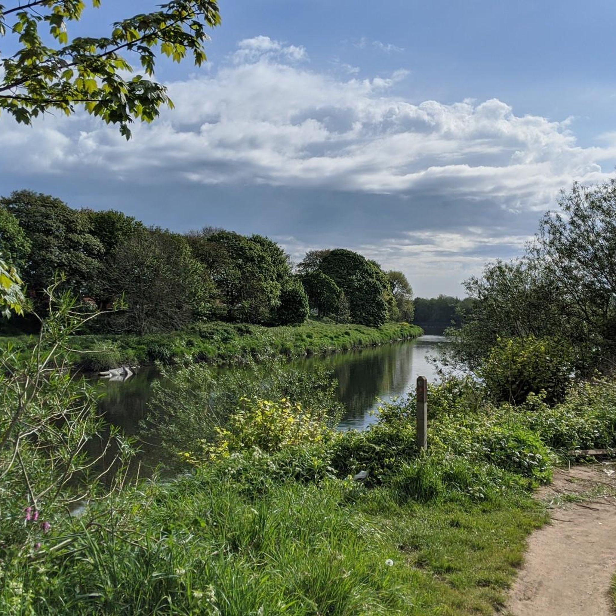
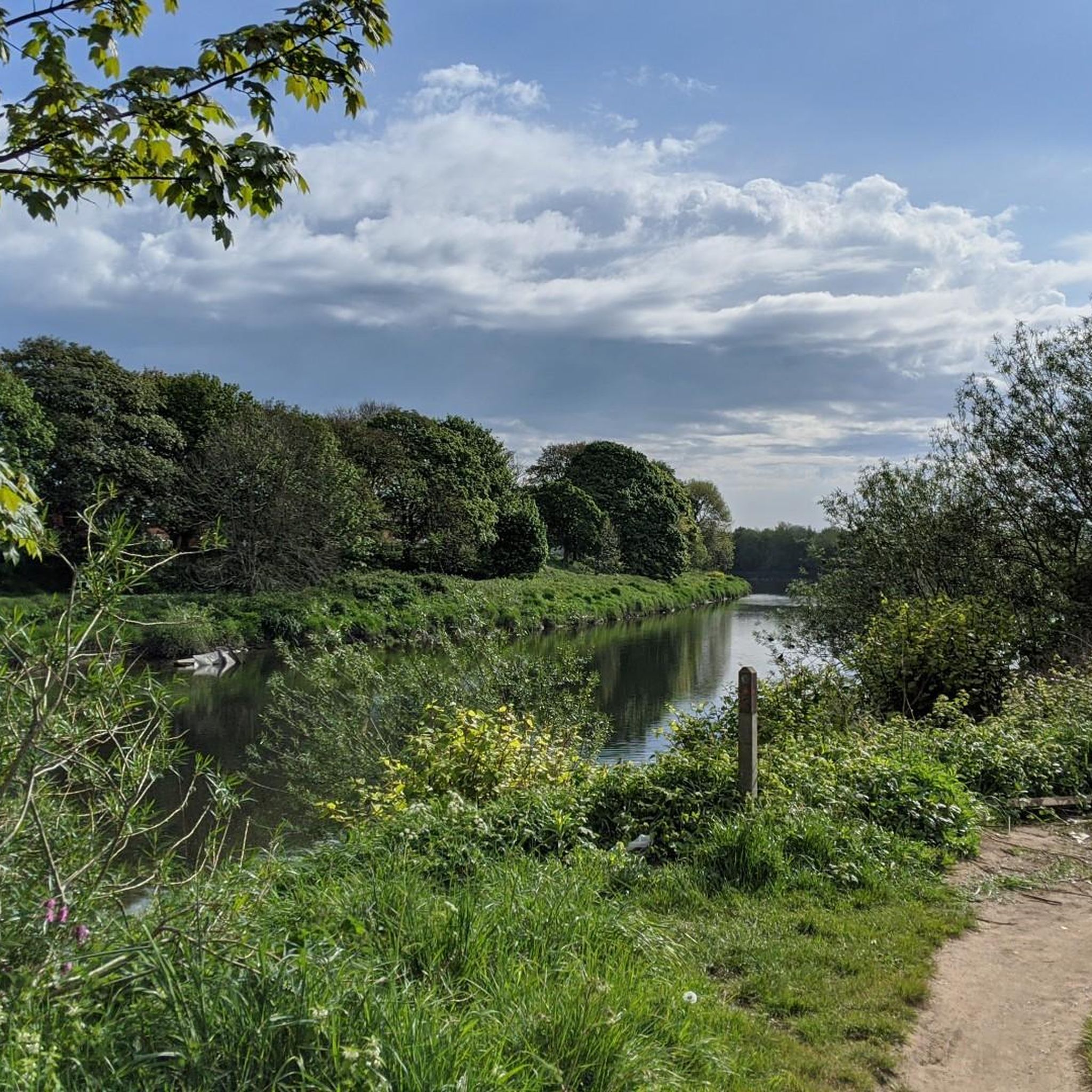
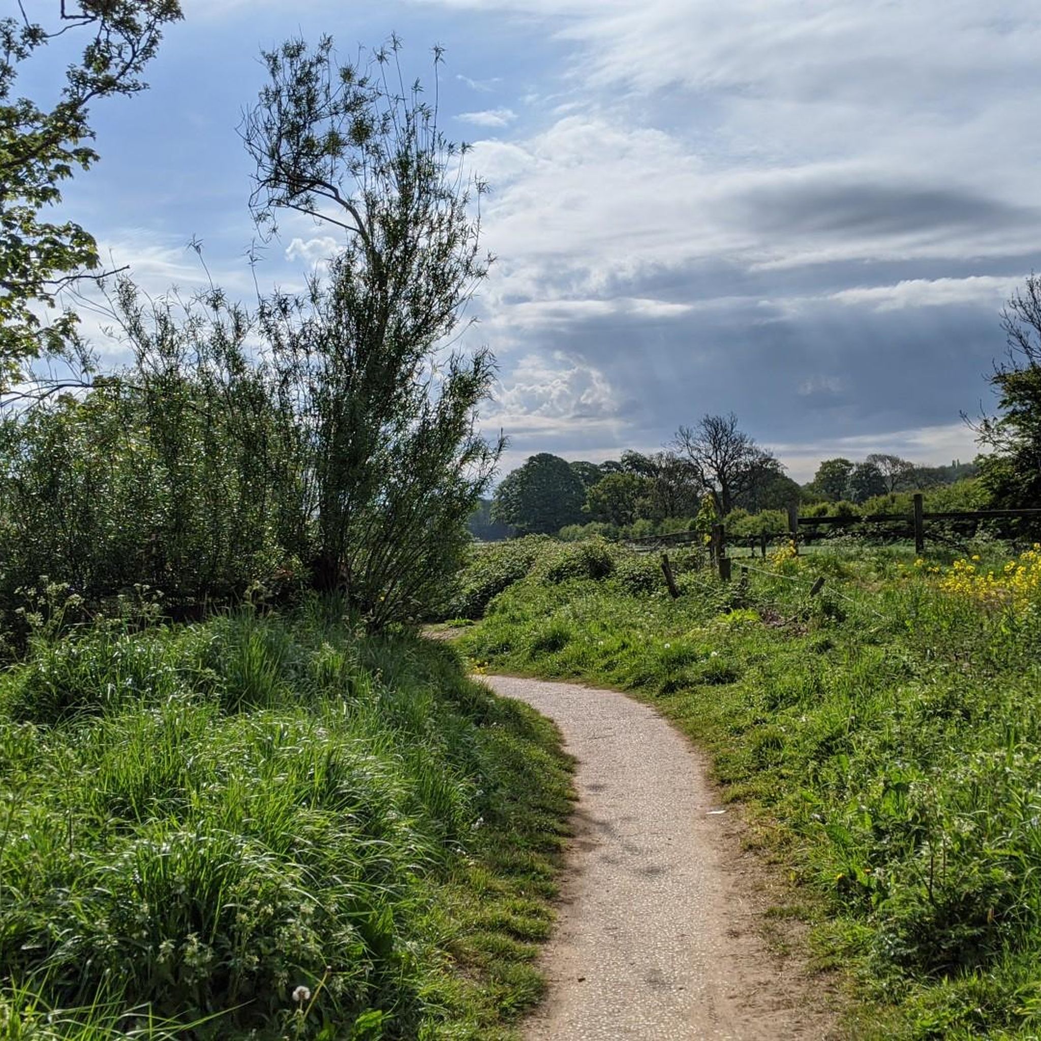
Bridleway. A well used, rutted trail
0
0


first trip on an electric bike, I'm disabled with paralysis of left arm and was slightly apprehensive not just about my disability but the fact I hadn't owned or ridden a push bike in over 40 years. what a rush this was, apart from a small part that was more of a downhill rough path with 4 barriers with which I decided to walk down, nice and very scenic route and totally enjoyed ever part of it
0
0


The Horrobin embankment separates the upper and lower Rivington Reservoirs. It carries Horrobin Lane across the reservoir, providing a useful link for a walk. The reservoirs were built to supply water to Liverpool.
0
0

Tip5 Alternative Start Points with Parking for the 4 Tours Tour1 The Marina Carpark at Preston Marina The Marina Carpark Position is: 53.761540,-2.738572 Either: Paste the above line into the Google Maps app "Search here" box and then search - click the magnifying glass icon. Or: open your web browser and search for Google Maps 53.761540,-2.738572 Ashton Park Car Parks Link: Ashton Park Highlight https://www.komoot.com/highlight/5137829 Highlight7 on the Tour1 map
0
0

Upper Rivington Reservoir lies at the heart of the Rivington chain on the West Pennine Moors. The reservoir features an island, a bridleway, and a residence known as The Street along its side.
1
0
Frequently Asked Questions
How many mountain bike trails are available around Penwortham?
There are over 30 mountain bike trails around Penwortham, offering a variety of experiences for different skill levels. The komoot community has explored these routes over 600 times.
Are there easy mountain bike trails suitable for beginners in Penwortham?
Yes, Penwortham offers a good selection of easy mountain bike trails, with 19 routes categorized as easy. These often follow riverside paths and canal towpaths, providing a gentle introduction to the area's terrain. An example is the Ribble Steam Railway loop from South Ribble, which is an easy 20.5 km ride.
Are there any challenging mountain bike routes in Penwortham?
While Penwortham's trails are generally accessible, there are moderate options for those seeking more of a challenge. These routes may include more varied terrain and some elevation gain. Currently, there are 16 moderate mountain bike trails in the area, but no routes are classified as difficult.
What is the best time of year for mountain biking in Penwortham?
The best time for mountain biking in Penwortham is typically during the spring and summer months (April to September) when the weather is milder and trails are drier. Autumn can also be beautiful with changing foliage, but be mindful of potentially muddier conditions after rain.
Are there any circular mountain bike routes in Penwortham?
Many of the mountain bike trails around Penwortham are designed as loops, allowing you to start and finish in the same location. For example, the Fishwick Local Nature Reserve – Withy Grove Park Playground loop from Bamber Bridge is a circular route covering 32.8 km.
What kind of scenery can I expect on the mountain bike trails?
Mountain biking in Penwortham offers diverse scenery, including riverside paths along the River Ribble, tranquil canal towpaths, open fields, and local parklands. You'll also encounter historical railway lines and areas around reservoirs, providing a mix of natural and historical landscapes.
What do other mountain bikers enjoy the most about mountain biking in Penwortham?
The mountain bike trails in Penwortham are highly rated by the komoot community, with an average score of 4.4 stars. Reviewers often praise the varied terrain, the accessibility of the trails, and the scenic routes along rivers and canals.
Are there any cafes or places to stop for refreshments along the mountain bike trails?
Yes, some routes pass by or are close to places where you can stop for refreshments. For instance, the Twin Lakes Velo Café is a popular spot that mountain bikers can incorporate into their rides.
What interesting landmarks or attractions can I see along the mountain bike trails?
Many trails offer opportunities to see local landmarks and natural attractions. You might pass by the Brockholes Nature Reserve, the historic Hoghton Bottoms Weir and Viaduct, or the picturesque Miller Park Fountain, depending on your chosen route.
Is public transport accessible near the mountain bike trails in Penwortham?
Penwortham and its surrounding areas are generally well-connected by local bus services, which can provide access to various starting points for trails. Some routes, particularly those following canal towpaths, may have access points near residential areas with public transport links.
Are the mountain bike trails in Penwortham dog-friendly?
Many of the trails around Penwortham, especially those on public footpaths and bridleways, are suitable for dogs, provided they are kept under control. Always check local signage for specific restrictions, particularly in nature reserves or areas with livestock. Remember to clean up after your dog.
Where can I find parking for mountain biking in Penwortham?
Parking is available at various points around Penwortham, often near trailheads or in local car parks within towns and villages. When planning your route, check the starting point for designated parking areas or consider using public car parks in nearby Preston or Bamber Bridge.
Most popular routes around Penwortham
Most popular attractions around Penwortham

Get inspired with the komoot mobile app


Explore more
Browse the best MTB trails in other regions.
