The best road cycling routes around Gisburn
4.8
(102)
6,286
riders
190
rides
Road cycling routes around Gisburn are characterized by diverse terrain within the Forest of Bowland Area of Outstanding Natural Beauty. The area features well-paved surfaces, offering varied challenges from gentle ascents to significant climbs through the Ribble Valley. Cyclists encounter panoramic views of the Bowland Fells and Stocks Reservoir, with routes often traversing deep forests and rolling hills.
Best road cycling routes around Gisburn
- The most popular road cycling route is Bowland Knotts Climb – Mewith Lane loop from St Peter & St Paul, a 37.1 miles (59.7 km) trail that takes 3 hours 20 minutes to complete. This difficult route features significant elevation gain through the Bowland Fells.
- Another top favourite among local road cyclists is Nick of Pendle – Back Lane Climb Out of Sabden loop from Gisburn, a moderate 29.3 miles (47.1 km) path. This route offers a good workout over varied terrain, including climbs around the Nick of Pendle.
- Local road cyclists also love the Langcliffe Scar – Henside Road Near Malham Tarn loop from St Peter & St Paul, a 34.3 miles (55.2 km) trail leading through scenic landscapes with views towards Malham Tarn, often completed in about 2 hours 50 minutes.
- Road cycling around Gisburn is defined by the Bowland Fells, the Ribble Valley, and Stocks Reservoir. The network offers options for different ability levels, from moderate rides to challenging climbs.
- The routes in Gisburn are highly rated by the komoot community with an average score of 4.75 stars from over 90 reviews. More than 6,000 road cyclists have used komoot to explore Gisburn's varied terrain.
Last updated: August 6, 2026
4.8
(6)
136
riders
59.7km
03:25
1,090m
1,090m
Hard road ride. Very good fitness required. Mostly well-paved surfaces and easy to ride.
5.0
(2)
35
riders
47.0km
02:31
780m
780m
Moderate road ride. Good fitness required. Mostly well-paved surfaces and easy to ride.

Sign up for free
37
riders
Moderate road ride. Good fitness required. Mostly well-paved surfaces and easy to ride.
18
riders
32.4km
01:42
590m
590m
Moderate road ride. Good fitness required. Mostly well-paved surfaces and easy to ride.
25
riders
88.4km
03:45
720m
720m
Moderate road ride. Good fitness required. Mostly well-paved surfaces and easy to ride.
Get access to more routes and recommendations from other explorers.
Sign up for free
Already have an account?
Our route recommendations are based on thousands of hikes, rides, and runs completed by other people on komoot.
Start today with a free account
Your next adventure awaits.
Login or Signup
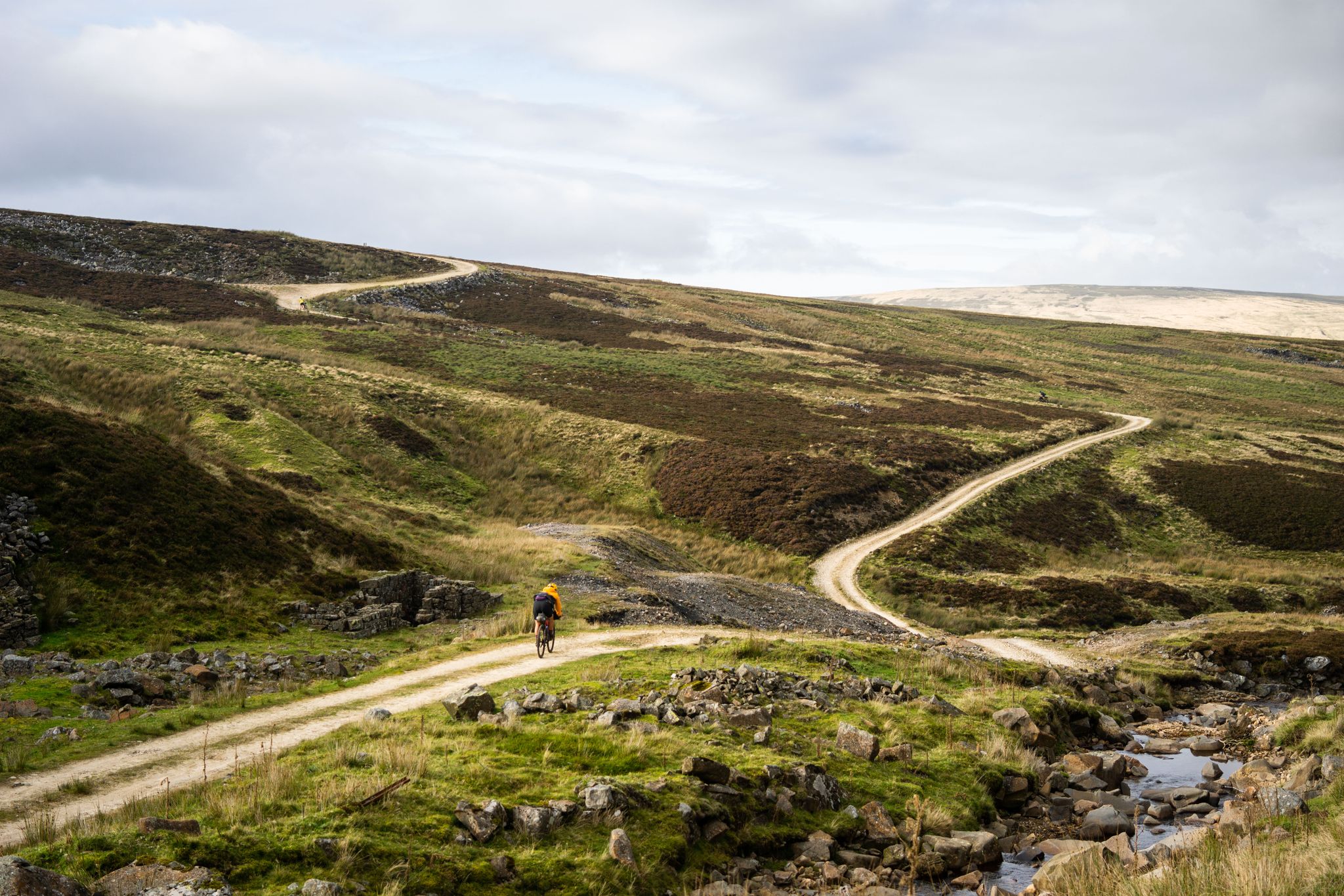
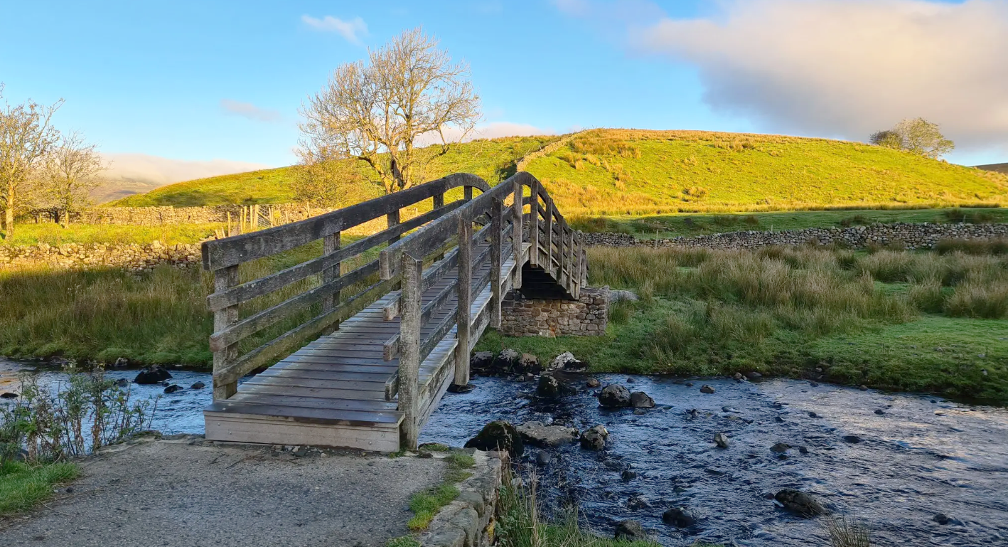
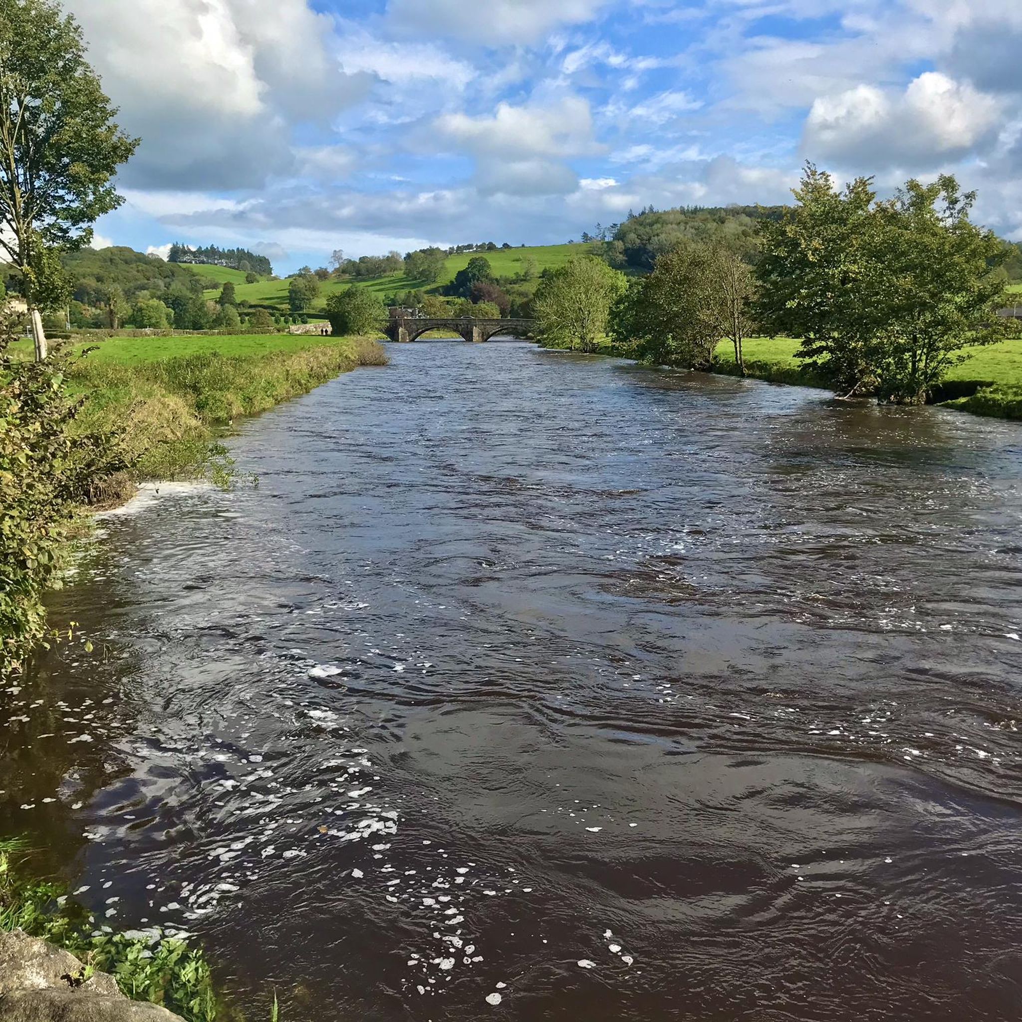
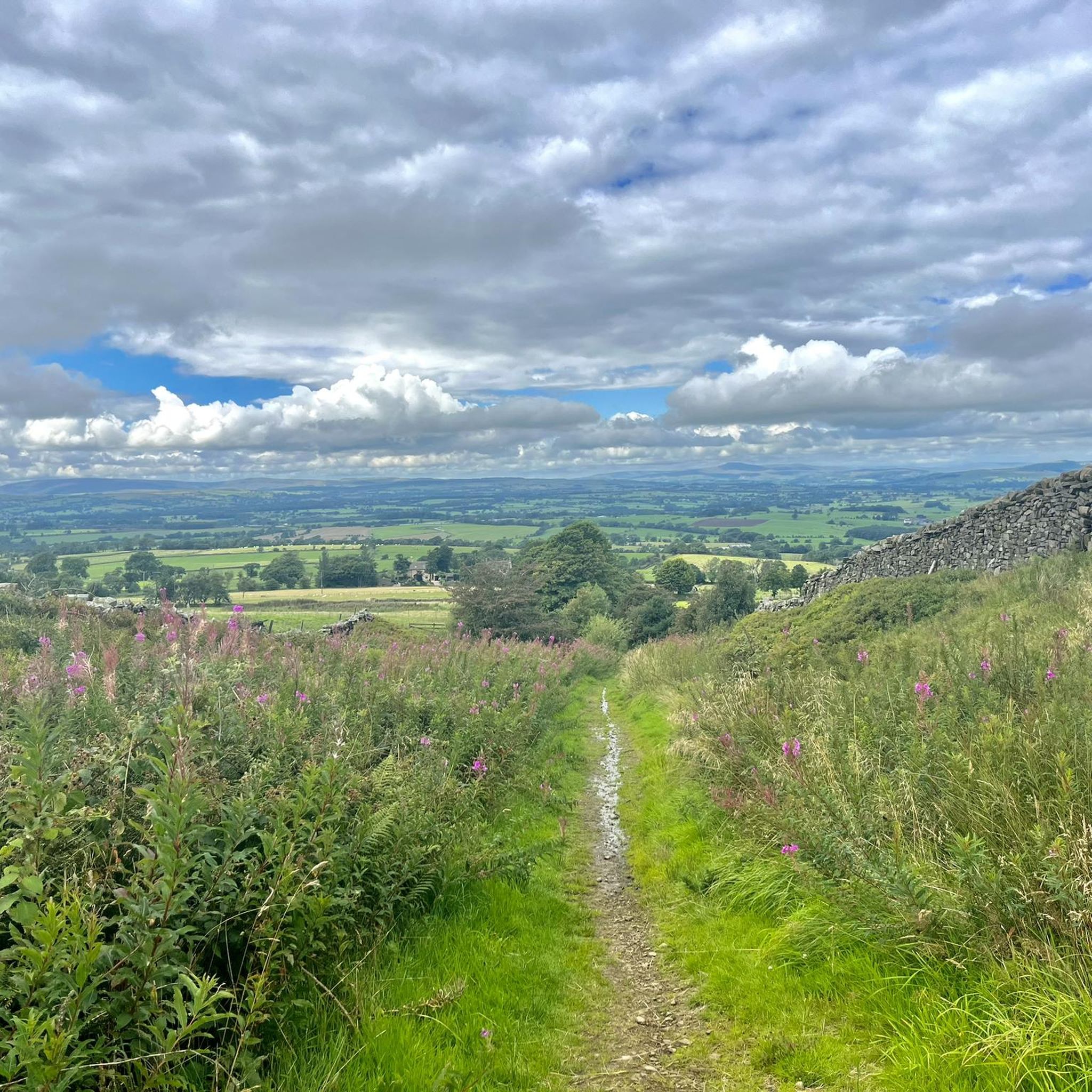



Tips from the Community

Attractive descent into Lancliffe / vicious ascent from Lancliffe.
0
0

I don’t know if it’s scarier going up or coming down! Watch out for cars 🤙
0
0
Big climb out of Giggleswick. It does end eventually but it might make you question why cycling is your favorite hobby.
0
0

Can often get busy at weekends but generally the roads leading here are quiet.
0
0
Beautiful views and generally the roads are super quiet in this area.
0
0
One of the prettiest villages in the Ribble Valley, the village sits between Clitheroe and the Fells towards the Trough of Bowland.
0
0
Frequently Asked Questions
How many road cycling routes are available around Gisburn?
There are over 190 road cycling routes around Gisburn, offering a wide range of options for different skill levels and preferences. These routes are highly rated by the komoot community, with an average score of 4.8 stars from over 90 reviews.
What kind of terrain and landscapes can I expect on road cycling routes in Gisburn?
Road cycling routes in Gisburn traverse diverse terrain within the picturesque Forest of Bowland Area of Outstanding Natural Beauty. You can expect mostly well-paved surfaces, ranging from gentle ascents through the Ribble Valley to significant climbs in the Bowland Fells. Cyclists will encounter panoramic views of the fells, deep forests, rolling hills, and the serene Stocks Reservoir.
Are there challenging climbs for experienced road cyclists in Gisburn?
Yes, Gisburn offers several challenging climbs for experienced road cyclists. For instance, the Bowland Knotts Climb – Mewith Lane loop from St Peter & St Paul is a difficult 37.1-mile route with over 1,000 meters of elevation gain. Another demanding option is the 103km "Trough of Bowland Pass – Jubilee Tower (Quernmore) loop" mentioned in regional research, suitable for very fit cyclists.
Are there any moderate road cycling routes suitable for a good workout?
Absolutely. Many routes in Gisburn offer a good workout without being overly extreme. The Nick of Pendle – Back Lane Climb Out of Sabden loop from Gisburn is a popular moderate 29.3-mile path that includes climbs around the Nick of Pendle. Another great option is the Langcliffe Scar – Henside Road Near Malham Tarn loop from St Peter & St Paul, a 34.3-mile route through scenic landscapes.
What natural features and landmarks can I see along the road cycling routes?
The routes often feature breathtaking views of the Bowland Fells, the Ribble Valley, and Stocks Reservoir. You might also pass by charming villages like Downham Village or Sabden Village. Notable viewpoints include Cross of Greet Climb from Slaidburn, offering stunning vistas. The area is also part of the Forest of Bowland AONB, ensuring unspoiled natural beauty throughout your ride.
Are there any reservoirs or lakes visible from the cycling routes?
Yes, many road cycling routes offer views of or pass by the shores of Stocks Reservoir, a prominent natural feature in the upper Hodder Valley. You may also encounter other bodies of water such as Lower Ogden Reservoir, Barrowford Pond, and Churn Clough Reservoir.
Where can I find parking for road cycling in Gisburn?
Gisburn Forest offers parking facilities, which can be a convenient starting point for exploring the wider road network. Additionally, many routes start from or pass through villages like Gisburn itself, where village parking might be available. It's always advisable to check local parking regulations before your ride.
Are there places to stop for refreshments or amenities along the routes?
Yes, the Gisburn Forest Hub features a café, providing a perfect spot for refreshments before or after a ride. Many routes also connect to charming villages that may offer pubs, cafes, or other amenities. Picnic sites are also available for those wishing to enjoy a break amidst nature.
What is the best time of year for road cycling in Gisburn?
The region's diverse terrain and scenic beauty can be enjoyed throughout much of the year. Spring and autumn often offer pleasant temperatures and vibrant landscapes. However, given the varied weather conditions in the UK, checking the forecast before your ride is always recommended, especially for routes with significant elevation.
Can I find shorter, easier road cycling routes around Gisburn?
While Gisburn is known for its challenging climbs, there are also easier options. Out of the 196 routes, 44 are classified as easy. For example, the Slaidburn War Memorial – Waddington Village loop from St Peter & St Paul is a moderate 20.4-mile route with less elevation, offering a more relaxed experience through scenic villages.
What makes Gisburn a unique destination for road cyclists?
Gisburn's unique appeal lies in its location within the Forest of Bowland AONB, offering a stunning backdrop of dramatic fells, deep forests, and the tranquil Stocks Reservoir. It provides a wide range of routes, from challenging climbs to more moderate rides, all set within an unspoiled natural environment. The area is also recognized as a Dark Sky Discovery Site, adding another dimension to its outdoor charm.
Most popular attractions around Gisburn

Get inspired with the komoot mobile app


Explore more
Browse the best Road cycling routes in other regions.
