The best walks and hikes around Whittingham
4.4
(1341)
10,305
hikers
289
hikes
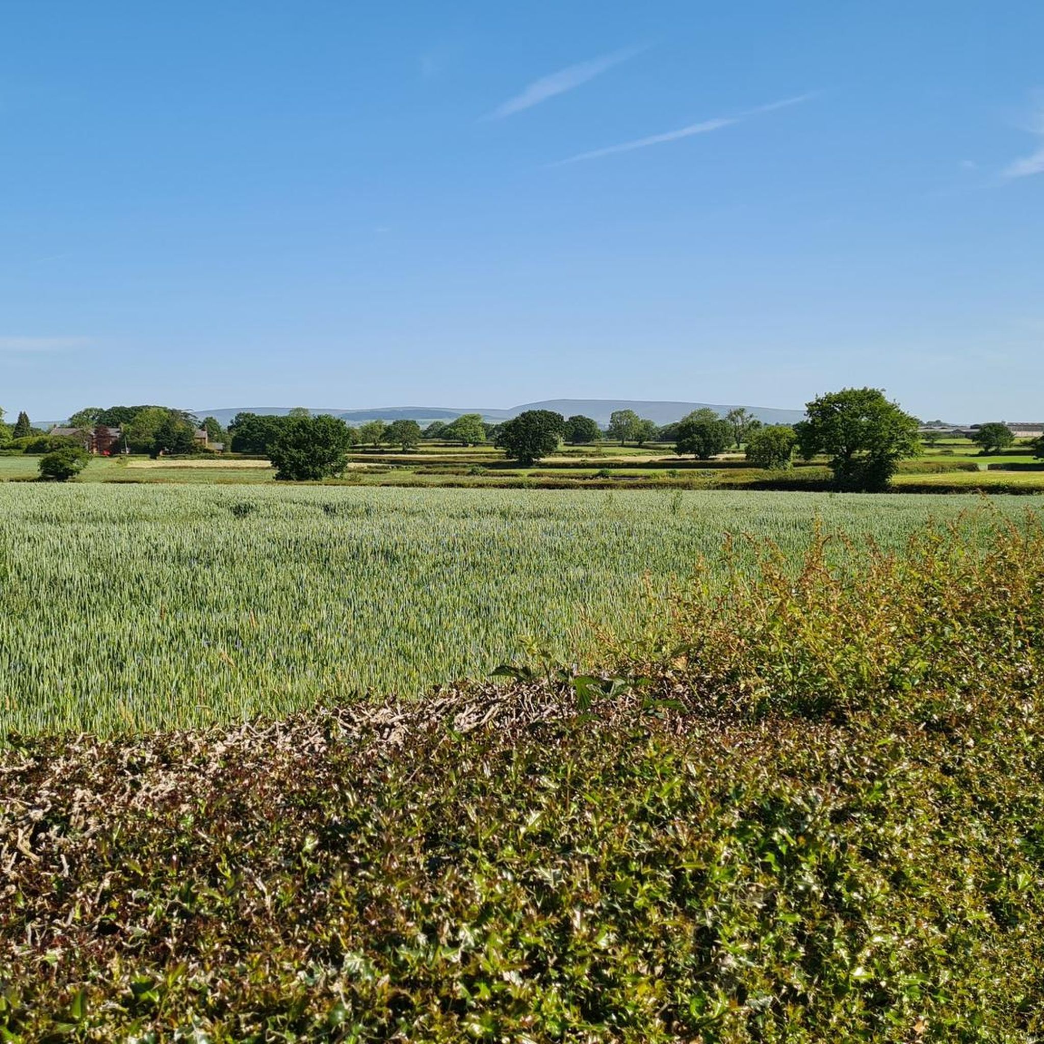
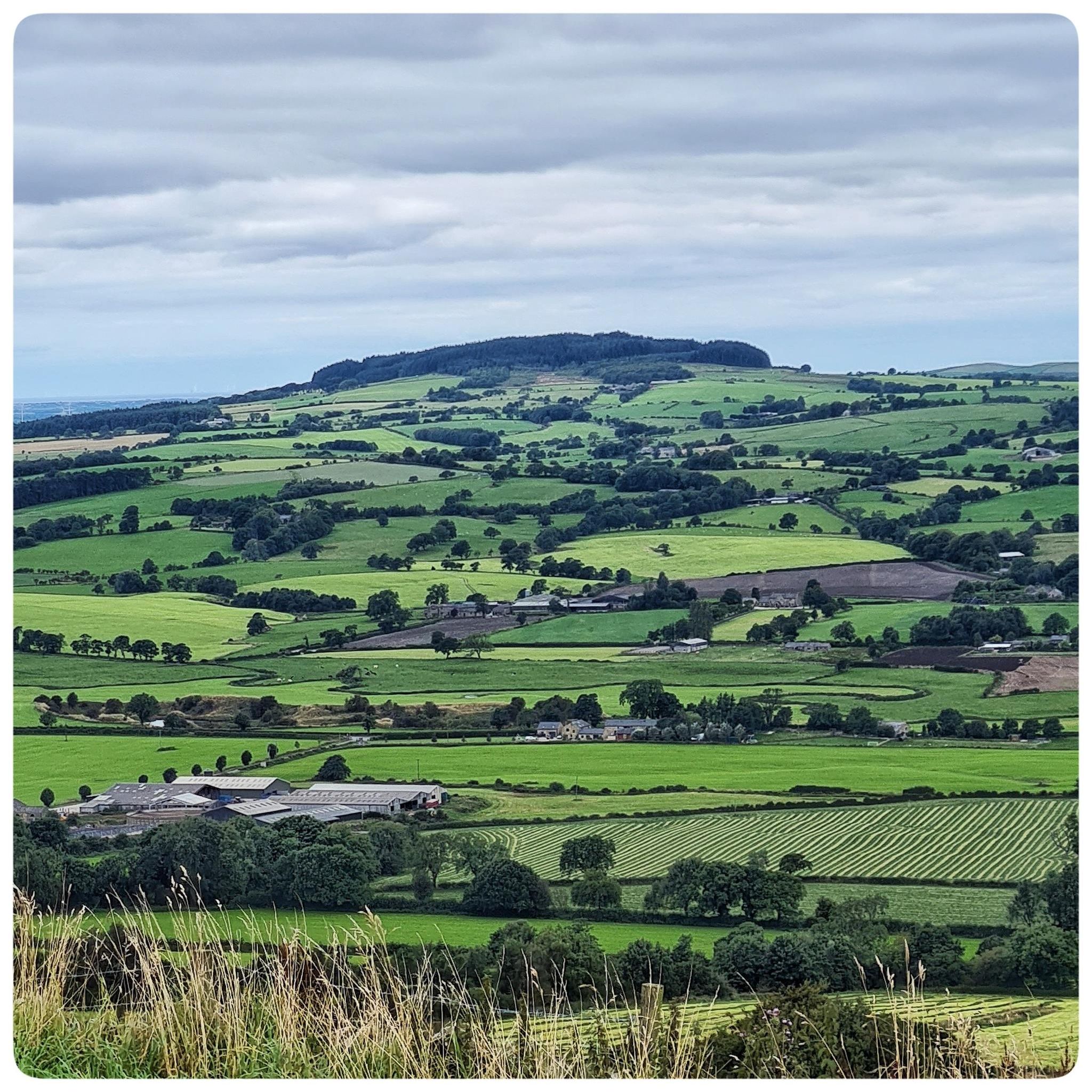
Hiking around Whittingham explores the rolling countryside of Lancashire, situated near Preston. The region's terrain is characterized by agricultural landscapes, serene reservoirs, and accessible fells. Footpaths connect local villages and lead to varied walking environments. Whittingham is also located near the Forest of Bowland Area of Outstanding Natural Beauty, enhancing its appeal for hikers.
Best hiking trails around Whittingham
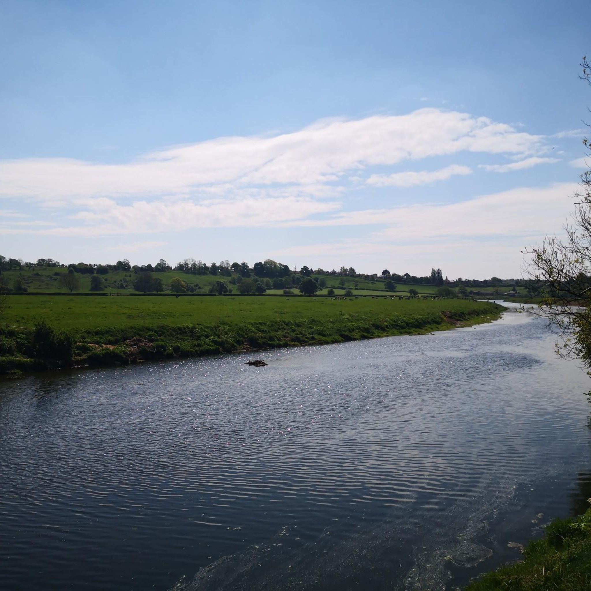
- The most popular hiking route is Ribchester Arms – Ribchester Village loop from Longridge, a 10.3 miles (16.6 km) trail that takes about 4 hours 25 minutes to complete. This moderate hike follows the River Ribble and passes historical Roman ruins.
- Another top favourite among local hikers is The Grapes loop from Saint Mary The Virgin, a moderate 5.3 miles (8.5 km) path. This route features minimal elevation change and offers views of the local countryside.
- Local hikers also love the Brockholes Nature Reserve – Fishwick Local Nature Reserve loop from Grimsargh, a 16.8 miles (27.1 km) trail leading through nature reserves, often completed in about 7 hours 1 minute.
- Hiking around Whittingham is defined by riverside rambles, reservoir paths, and walks across rolling fells. The network of trails offers options for different ability levels, from easy nature reserve walks to more moderate countryside circuits.
- The routes in Whittingham are highly rated by the komoot community with an average score of 4.3 stars from over 1000 reviews. More than 8,800 hikers have used komoot to explore Whittingham's varied terrain.
Last updated: November 8, 2026
4.8
(4)
15
hikers
Hard hike. Very good fitness required. Easily walkable paths.
4.5
(4)
8
hikers
8.47km
02:12
50m
50m
Moderate hike. Good fitness required. Easily walkable paths.

5.0
(2)
7
hikers
16.2km
04:20
180m
180m
Moderate hike. Good fitness required. Easily walkable paths.
9
hikers
11.0km
02:53
90m
90m
Moderate hike. Good fitness required. Easily walkable paths.
5
hikers
Moderate hike. Good fitness required. Easily walkable paths.
Get access to more routes and recommendations from other explorers.
Already have an account?
Our route recommendations are based on thousands of hikes, rides, and runs completed by other people on komoot.
Start today with a free account
Your next adventure awaits.
Tips from the Community

The Continental is a Preston pub and restaurant serving British cuisine and real ales, as well as hosting live music gigs, films, cultural events and the now-legendary Continental Beer Festival. Situated in an idyllic riverside location, just out of the town centre, there can be no more perfect place, winter or summer than to relax in The Continental garden by the river or catch a gig in the event space – The Boatyard.
5
0

The Grapes is a beautiful, traditional, detached country pub, located in the heart of the affluent village of Goosnargh, next to the local church and the primary school. Goosnargh is a growing village, already blessed with an abundance of detached and semi-detached houses, there are two other housing developments under way, within a 5 min walk of the pub. Home of Beacon Fell Country Park, Goosnargh attracts visitors for its beautiful walks and trails with the outstanding views across the local countryside. Although Goosnargh is a rural village, it has great links to Preston city centre and main motorway routes.
0
0

Walton Bridge across the River Ribble is a grade 2 listed stone arch bridge. It was built between 1779 & 1781. It was widened in the 1939 & 1950 and no carries four lanes of traffic and a pedestrian section.
0
0

The photo-map shows the route from this highlight (shown as highlight 4 on photo) at Bluebell Way at the M6 motorway junction. The route shows the northerly, clockwise Guild Wheel route option around the junction on a route to the Brockholes Nature Reserve. An alternative route follows Bluebell Way.
0
0


Stop here. Landlady Charlotte (like most Charlottes) is an utterly delightful and generous human. One way or another I intend to return. Oh, and great beer and good too!
0
0

if you will look closely and be quiet, small animals will come out 😁
0
0

Great little walk that can be extended. Great place to spot deer in the early mornings or at dusk.
0
0
Frequently Asked Questions
How many hiking trails are there around Whittingham?
There are over 300 routes to explore around Whittingham. The trails are well-distributed between easy and moderate difficulty, with about 140 easy trails perfect for relaxed days and 150 moderate routes for those seeking more of a challenge. There are also a small number of difficult trails for experienced hikers.
What do other hikers think of the trails in Whittingham?
The hiking routes around Whittingham are highly regarded by the komoot community, with an average rating of 4.3 stars from nearly 1,000 reviews. Hikers often praise the region's serene reservoir paths, riverside rambles, and the beautiful rolling countryside of Lancashire.
Are there any good circular walks in the area?
Yes, many of the best walks around Whittingham are circular. For a pleasant walk around a reservoir with minimal elevation change, the Horns Reservoir loop from Goosnargh is a great moderate option. You'll find many other loops that explore the local fells and farmland.
Can I find easy trails suitable for beginners or families?
Absolutely. The area offers many accessible options. For a shorter, easy outing, consider the Masons Wood loop from Archbishop Temple Church of England High School. Additionally, nearby Beacon Fell Country Park is very popular with families, offering well-maintained paths and picnic areas.
Are dogs allowed on the hiking trails?
Dogs are welcome on many trails, but it's important to be mindful of the agricultural landscape. You will likely cross fields with livestock, so always keep your dog on a lead in these areas. Trails through nature reserves like Brockholes may have specific restrictions, so check local signage.
What are the trail surfaces like around Whittingham?
The trail surfaces are quite varied. You can expect a mix of paved country lanes, grassy footpaths across fields, and well-trodden woodland tracks. After rain, some of the farm paths can become muddy, so waterproof hiking boots are recommended.
Are there any walks with historical interest?
Yes, you can combine hiking with history in this region. The Ribchester Village – Bremetennacum Roman Fort Ruins loop from Longridge is a fantastic choice. This moderate trail follows the River Ribble and takes you past the historic ruins of a Roman fort.
Where can I find walks with good views?
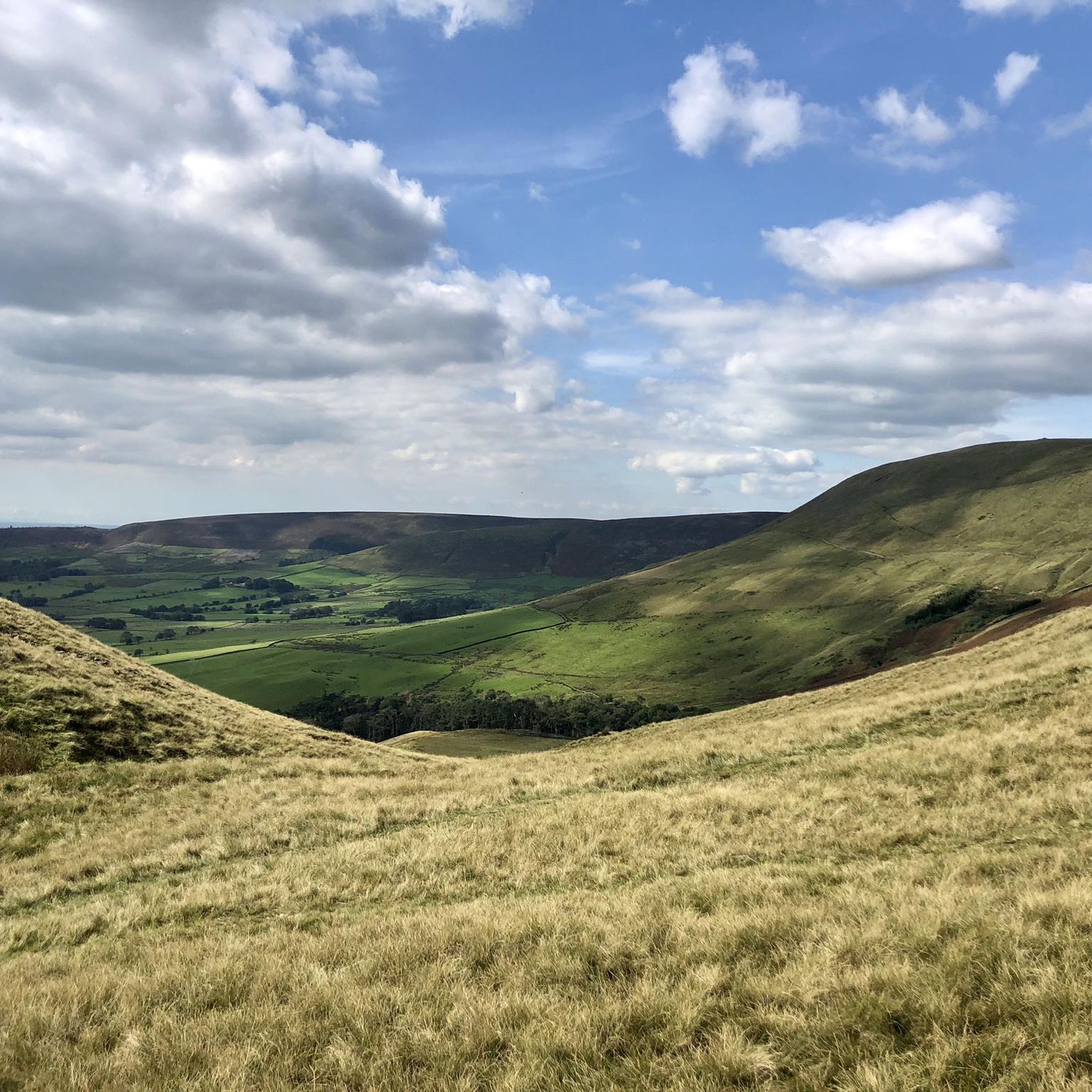
For excellent views over the Lancashire countryside, head for the nearby fells. A hike up Nicky Nook or the more challenging Parlick and Fair Snape Fell in the Forest of Bowland AONB will reward you with panoramic vistas of the rolling landscape.
Are there any good walks through nature reserves?
Yes, the Brockholes Nature Reserve – Boilton Wood loop from Sherwood is a wonderful hike that takes you through a unique reserve known for its diverse habitats and floating visitor village. It's an ideal choice for wildlife enthusiasts.
What is the terrain like for hiking in Whittingham?
The terrain is primarily characterized by rolling fells and gentle agricultural landscapes rather than steep, mountainous climbs. Hikes often follow a network of public footpaths across farmland, along serene reservoirs like the Alston Reservoir No.1 – Lyndhurst Lake loop from Longridge, and alongside rivers such as the Ribble.
Where can I find information on parking for the trails?
Parking availability varies by route. Many walks start from villages like Goosnargh or Longridge, where you can find on-street parking. For dedicated country parks like Beacon Fell or reserves like Brockholes, there are usually designated pay-and-display car parks. It's best to check the starting point of your chosen komoot Tour for specific parking suggestions.
Can I get to the hiking trails using public transport?
While some trailheads near larger villages or Preston may be accessible by local bus services, many of the more rural routes are best reached by car. Preston serves as the main transport hub for the region, and you can check local bus schedules from there to nearby villages like Longridge or Goosnargh.
Most popular attractions around Whittingham

Get inspired with the komoot mobile app


Explore more
Browse the best Hikes in other regions.
