The best running trails around Melling-With-Wrayton
4.5
(25)
1,786
runners
139
runs
Jogging around Melling-With-Wrayton offers diverse terrain within the Lune Valley, close to the Cumbrian and Yorkshire borders. The area features riverside paths along the River Lune and its tributaries, as well as rolling farmlands. For more challenging runs, fells like the Barbon Fells and views towards the Howgills provide elevation.
Best jogging routes around Melling-With-Wrayton
- The most popular jogging route is Running loop from Wray, a 6.2 miles (9.9 km) trail that takes 1 hour 2 minutes to complete.…
Last updated: October 26, 2026
22
runners
9.99km
01:03
110m
110m
Moderate run. Good fitness required. Mostly paved surfaces.
9
runners
6.91km
00:43
60m
60m
Moderate run. Good fitness required. Mostly paved surfaces.

11
runners
7.80km
00:49
50m
50m
Moderate run. Good fitness required. Mostly paved surfaces.
7
runners
9.89km
01:02
80m
80m
Moderate run. Good fitness required. Mostly paved surfaces.
4.0
(1)
9
runners
Moderate run. Good fitness required. Mostly paved surfaces.
Get access to more routes and recommendations from other explorers.
Already have an account?
Our route recommendations are based on thousands of hikes, rides, and runs completed by other people on komoot.
Start today with a free account
Your next adventure awaits.
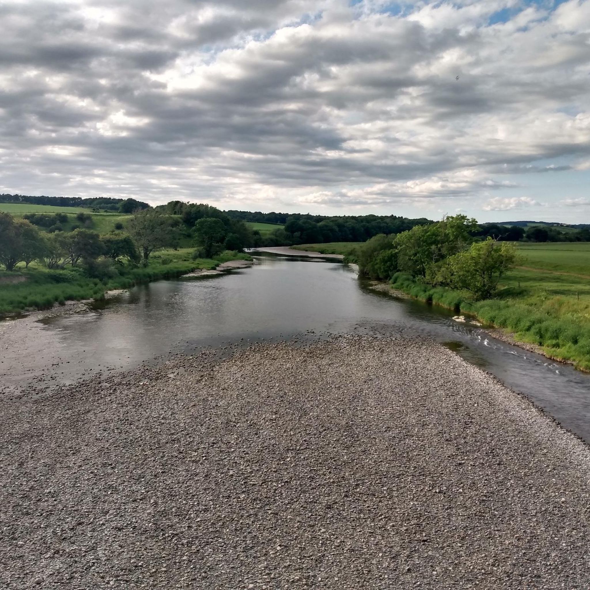
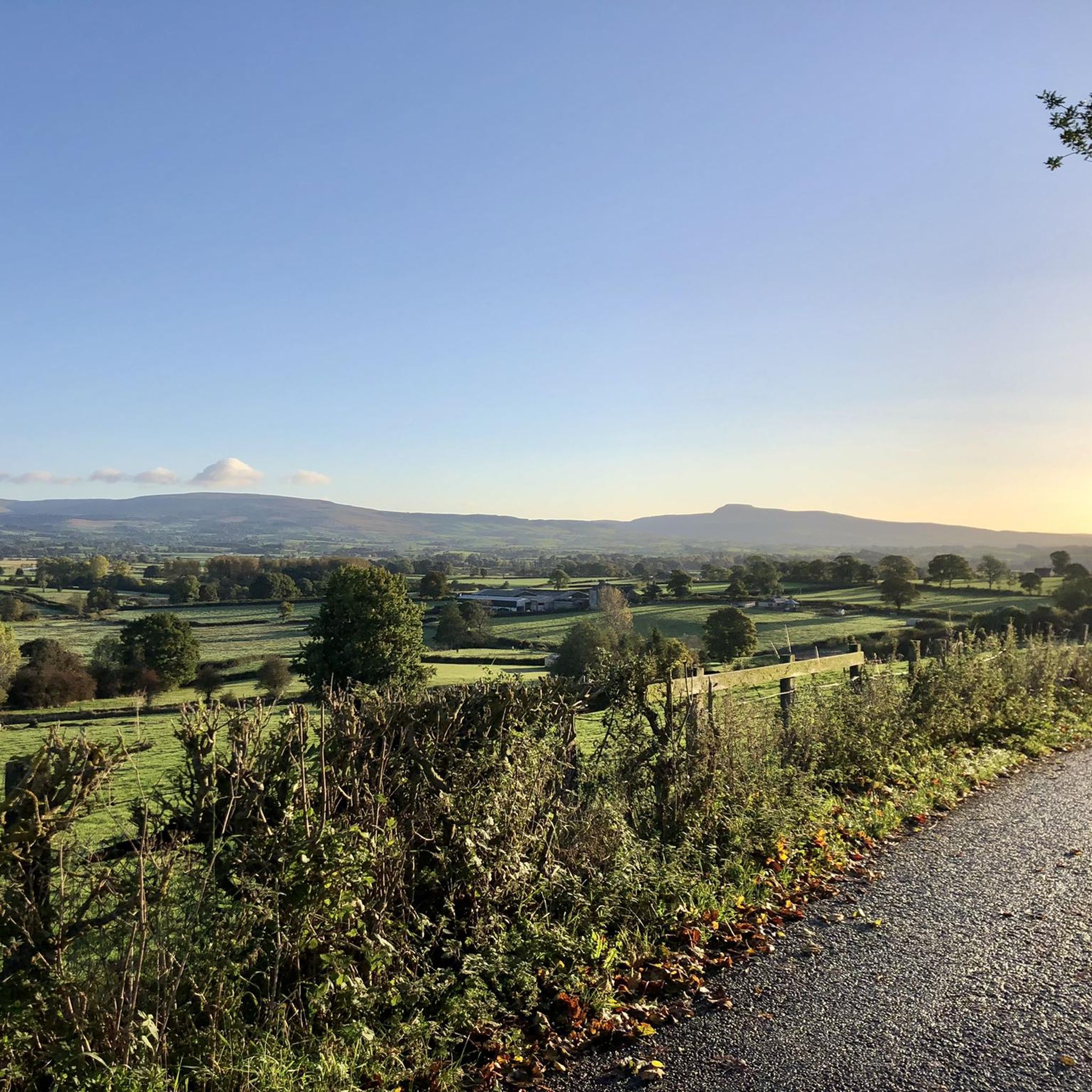
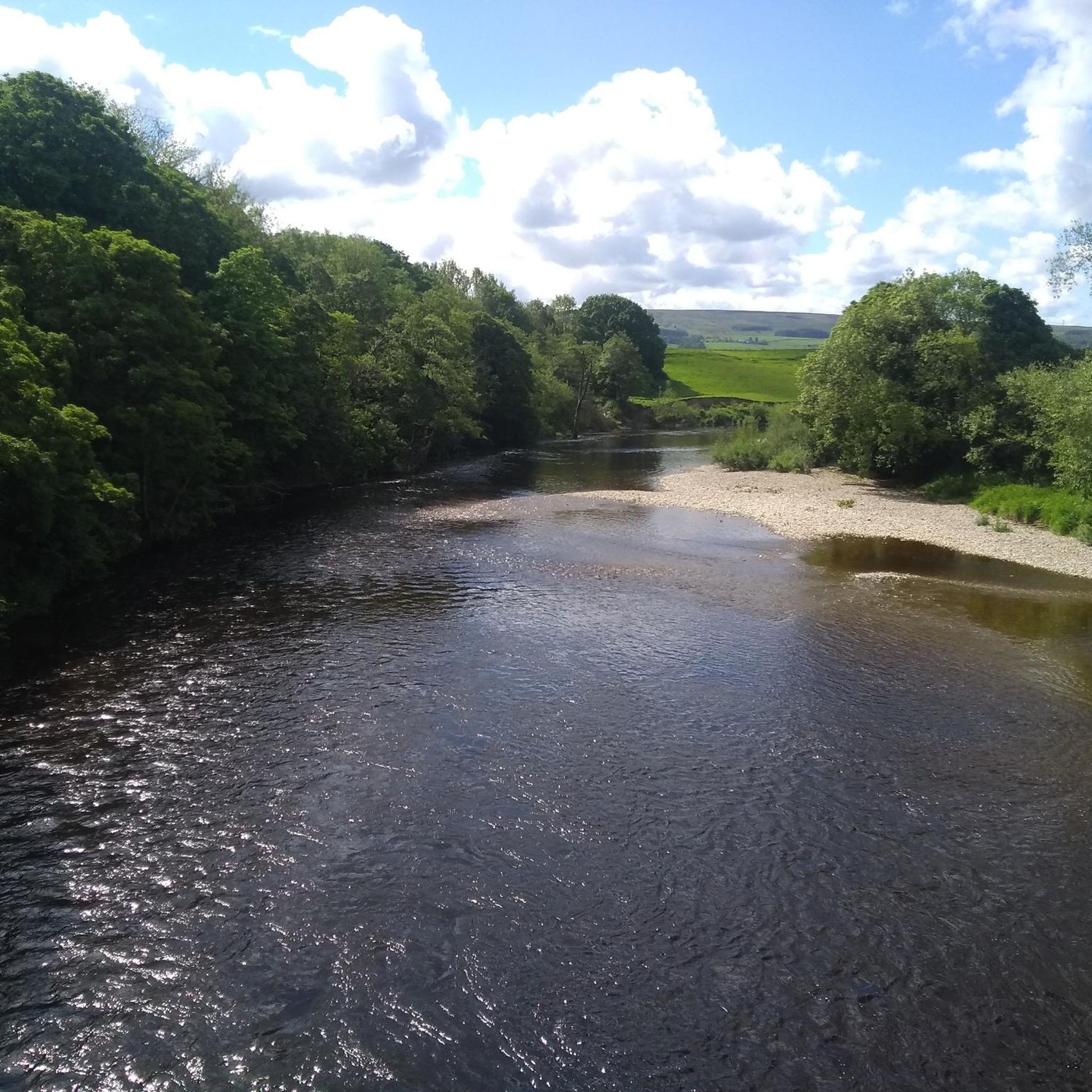
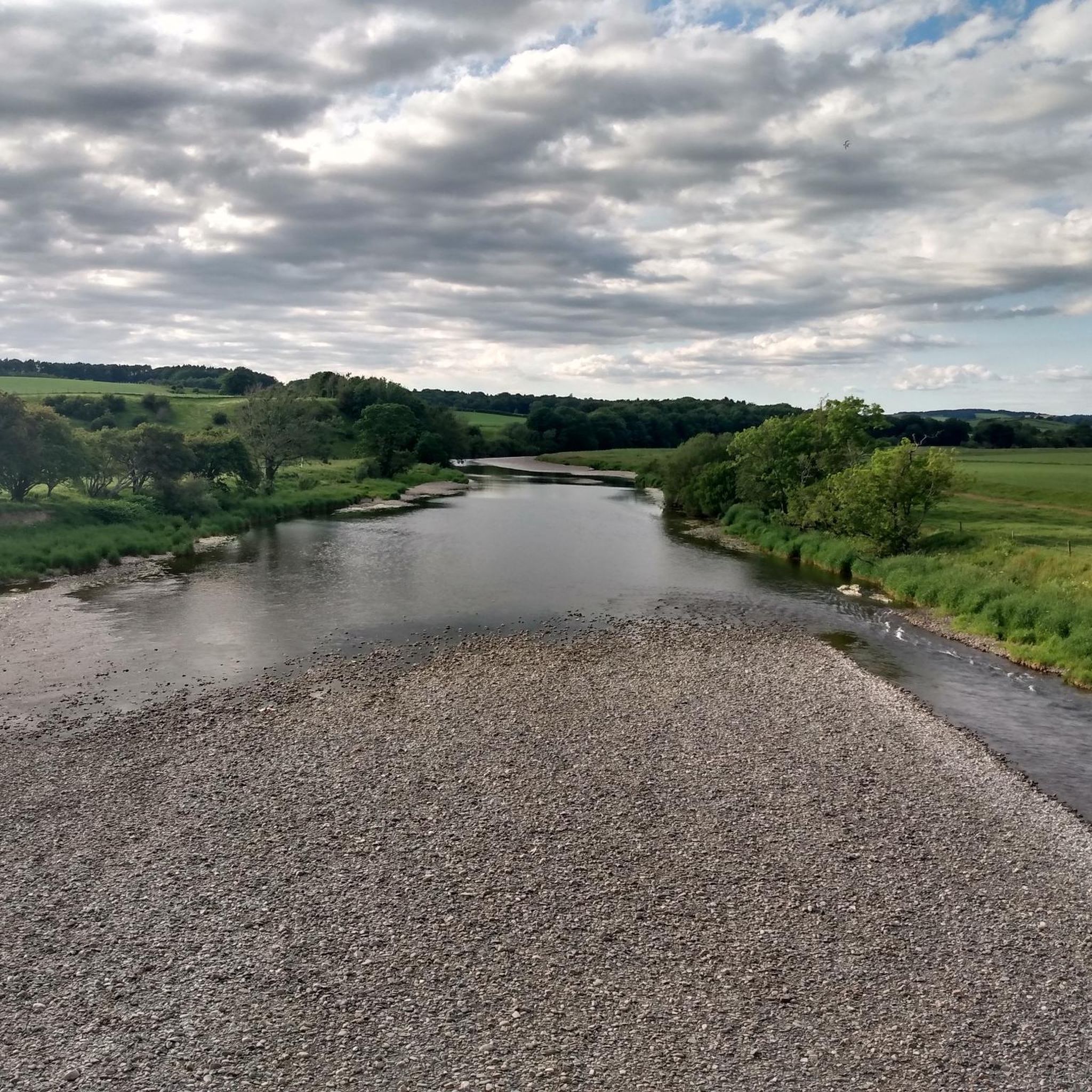

Tips from the Community

A super nice spot to stop with great views out over the river.
0
0

Very busy at weekend/ bank hols with. Motor bikes parking up for a natter
0
0

Great place for bird life along the river. I saw Goosanders, Sand Martins, Oyster Catchers, Blackbacked Gulls.
2
0

Good stop here for sandwiches, especially in summer
0
0

Great food here. seating inside and out. Popular with cyclists.
0
0

A lovely section of footpath following alongside the River Lune. Great views across the dales and lots of birdlife along the river including Oystercatchers, lapwings and other wildfowl.
0
0
The church stands within the bailey of a former castle. It is thought that a church has been on this site since 1200. The oldest part of the present church is the tower, which dates from the early 16th century. The rest of the church was largely rebuilt in 1875.
0
0

Great little shop and cafe. They also stock bike parts and spares.
0
0
Frequently Asked Questions
How many running routes are available around Melling-With-Wrayton?
There are over 150 running routes around Melling-With-Wrayton, offering a wide variety of options for all skill levels. These include 14 easy routes, 104 moderate routes, and 35 difficult routes for more experienced runners.
Are there any easy or beginner-friendly jogging routes in the area?
Yes, Melling-With-Wrayton offers 14 easy running routes, perfect for beginners or those looking for a relaxed jog. Many of these follow pleasant riverside paths along the River Lune or traverse rolling farmlands, providing gentle terrain.
What kind of terrain can I expect on the jogging trails around Melling-With-Wrayton?
The terrain is quite varied, ranging from relatively flat riverside paths along the River Lune and its tributaries to rolling farmlands. For those seeking more challenge, there are routes with views towards fells like the Barbon Fells and the Howgills, offering more strenuous climbs.
Are there any circular running routes in Melling-With-Wrayton?
Yes, many of the routes are circular, allowing you to start and end in the same location. For example, the Running loop from Wray is a popular moderate circular trail, and the Black Banks Plantation loop from High Bentham also offers a pleasant circular experience through farmlands.
What interesting natural features or landmarks can I see while jogging?
You can encounter several captivating natural features and historical landmarks. Highlights include the dramatic Thornton Force waterfall, the scenic Baxenghyll Gorge Waterfall, and the historic Devil's Bridge in Kirkby Lonsdale. Many routes also offer views of the River Lune and the surrounding fells.
Are the running routes around Melling-With-Wrayton suitable for families?
Many of the easier and moderate routes, particularly those along riverside paths and through rolling farmlands, are suitable for families. These paths often provide a gentle gradient and scenic views, making them enjoyable for various ages. Always check the route difficulty and length to ensure it matches your family's capabilities.
Can I bring my dog on the jogging trails?
Generally, many outdoor trails in the UK are dog-friendly, especially those on public footpaths. However, it's always recommended to keep dogs on a lead, especially when passing through farmland with livestock, and to follow the Countryside Code. Specific route details on komoot may offer more information regarding dog-friendliness.
What do other runners enjoy most about jogging in Melling-With-Wrayton?
The area is highly rated by the komoot community, with an average score of 4.4 stars from 14 reviews. Runners often praise the diverse terrain, from peaceful riverside sections to challenging fells, and the beautiful, tranquil countryside views. The variety of routes caters to different fitness levels, making it a popular choice for many.
Are there any routes that offer particularly good viewpoints?
Yes, routes that venture towards the fells, such as those with views of the Barbon Fells or the Howgills, offer rewarding climbs with panoramic vistas of the Lune Valley and beyond. The area's varied topography ensures many opportunities for scenic viewpoints.
How long are the running routes typically in this region?
The running routes vary significantly in length. You can find shorter routes like the River Rapids by the Tree loop from High Bentham, which is about 3.1 miles (5.0 km), perfect for a quick run. Longer options, such as the Running loop from Wray, extend to about 6.2 miles (9.9 km), offering a more extended workout.
Is public transport available to access the jogging routes?
Melling-With-Wrayton is a rural area, and while some local bus services might connect to nearby villages, direct public transport access to specific trailheads can be limited. It's advisable to check local bus schedules in advance or consider starting your run from Melling village itself, which has some established footpaths.
Where can I find parking near the running trails?
Parking availability can vary depending on the specific trailhead. In Melling village, there may be limited on-street parking or small public car parks. For routes starting from larger nearby settlements like High Bentham or Kirkby Lonsdale, more dedicated parking facilities are generally available. Always check local signage for parking restrictions.
Most popular attractions around Melling-With-Wrayton

Get inspired with the komoot mobile app


Explore more
Browse the best Running Trails & Routes in other regions.
