The best running trails around Middleton
4.4
(15)
1,830
runners
155
runs
Jogging around Middleton offers routes characterized by significant elevation changes and scenic natural features. The region features prominent summits and challenging terrain, making it suitable for runners seeking demanding trails. Many routes originate from areas like Sedbergh School, leading through varied landscapes that include waterfalls and high points. The area's topography provides a robust environment for running, with paths that often involve considerable ascents.
Best jogging routes around Middleton
- The most popular jogging route is The Calf Summit – Cautley Spout Waterfall loop from Sedbergh School, an 11.7 miles (18.9 km) trail that takes about 2 hours 38 minutes to complete. This difficult route features both a prominent summit and a waterfall.
- Another top favourite among local runners is The Calf Summit loop from Sedbergh School, a difficult 8.1 miles (13.0 km) path. This route offers a challenging ascent to a significant summit, typically completed in about 1 hour 57 minutes.
- Local runners also love the Running loop from Sedbergh School, a 4.2 miles (6.7 km) trail leading through hilly terrain, often completed in about 1 hour 1 minute.
- Jogging around Middleton is defined by challenging summits, waterfalls, and varied hilly terrain. The network offers options for different ability levels, including easy, moderate, and difficult routes.
- The routes in Middleton are highly rated by the komoot community with an average score of 4.6 stars from over 10 reviews. More than 1800 runners have used komoot to explore Middleton's varied terrain.
Last updated: September 28, 2026
5.0
(3)
182
runners
20.0km
02:45
740m
740m
Hard run. Very good fitness required. Mostly paved surfaces. Suitable for all skill levels.
36
runners
Hard run. Very good fitness required. Mostly paved surfaces. Suitable for all skill levels.

25
runners
Hard run. Very good fitness required. Mostly paved surfaces. Suitable for all skill levels.
20
runners
7.78km
00:51
110m
110m
Moderate run. Good fitness required. Mostly paved surfaces. Suitable for all skill levels.
15
runners
Moderate run. Good fitness required. Mostly paved surfaces. Suitable for all skill levels.
Get access to more routes and recommendations from other explorers.
Already have an account?
Our route recommendations are based on thousands of hikes, rides, and runs completed by other people on komoot.
Start today with a free account
Your next adventure awaits.
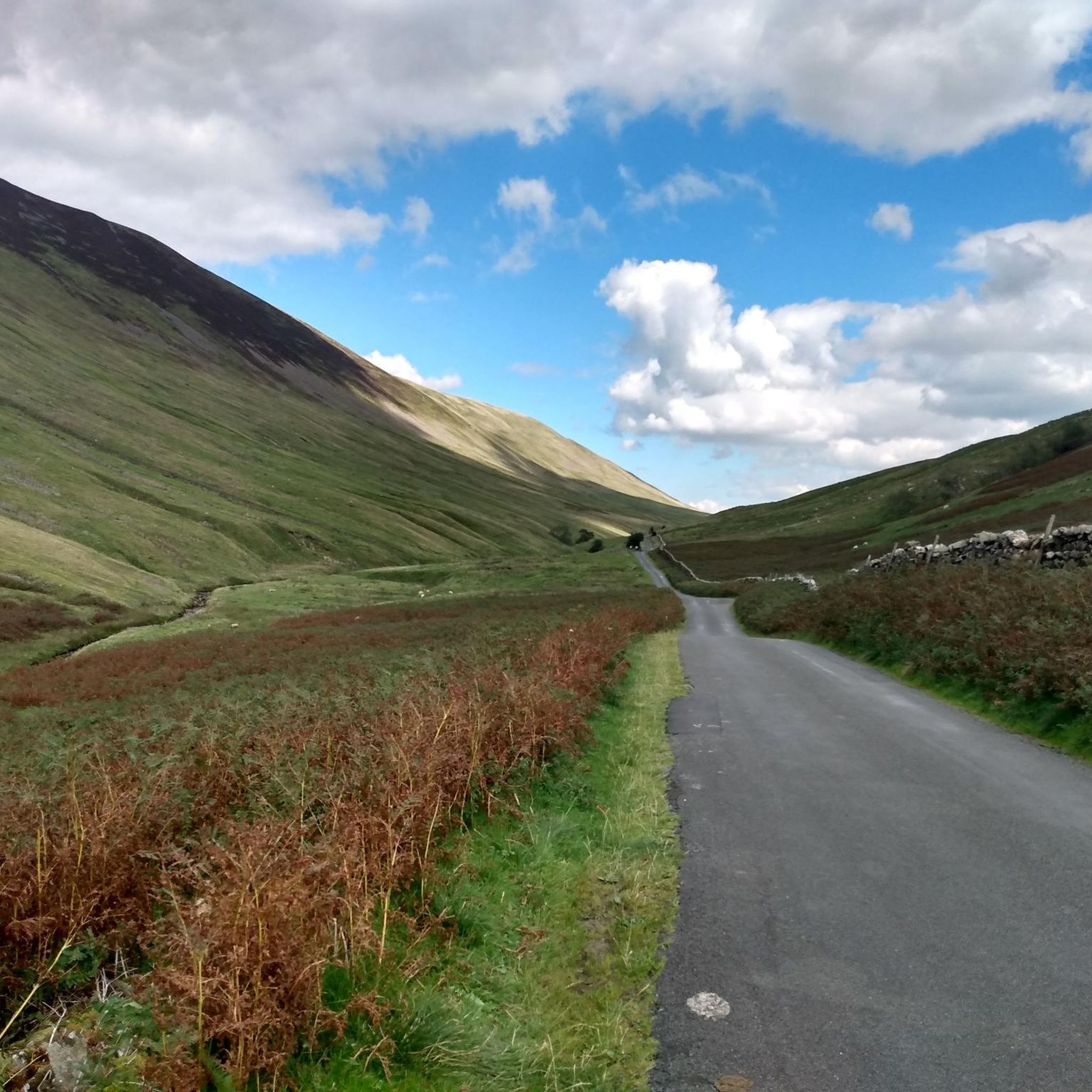
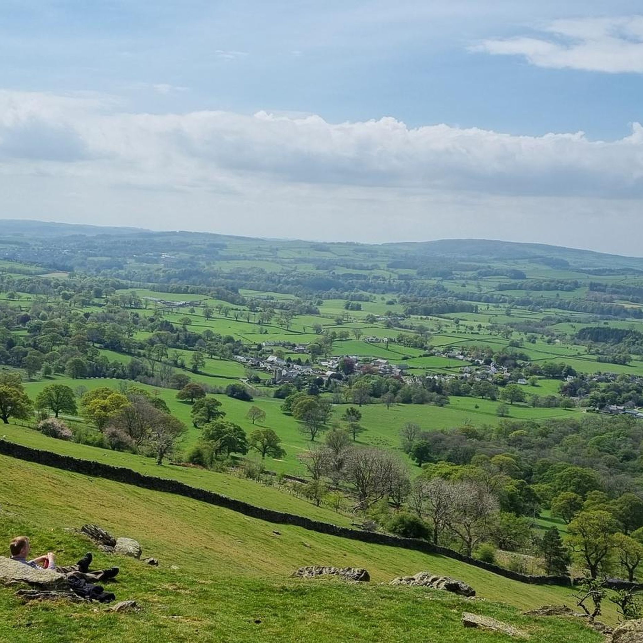
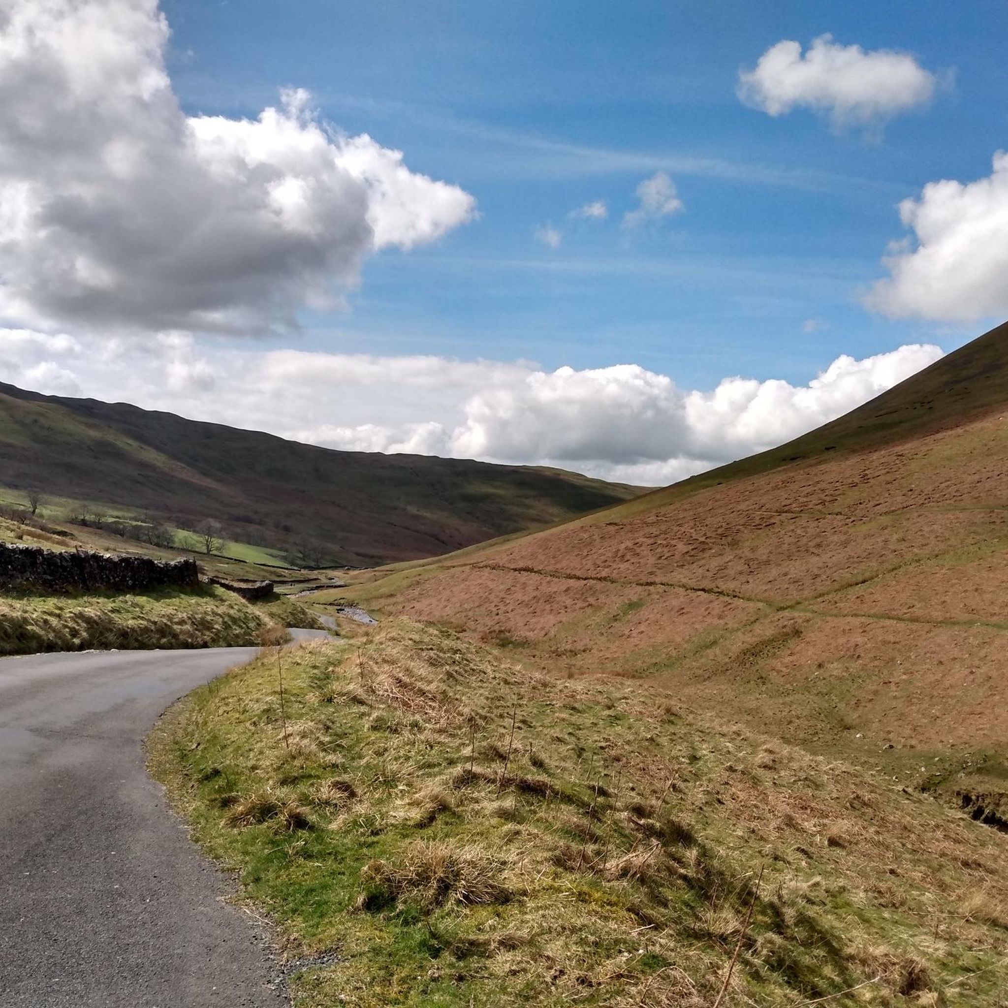
Tips from the Community

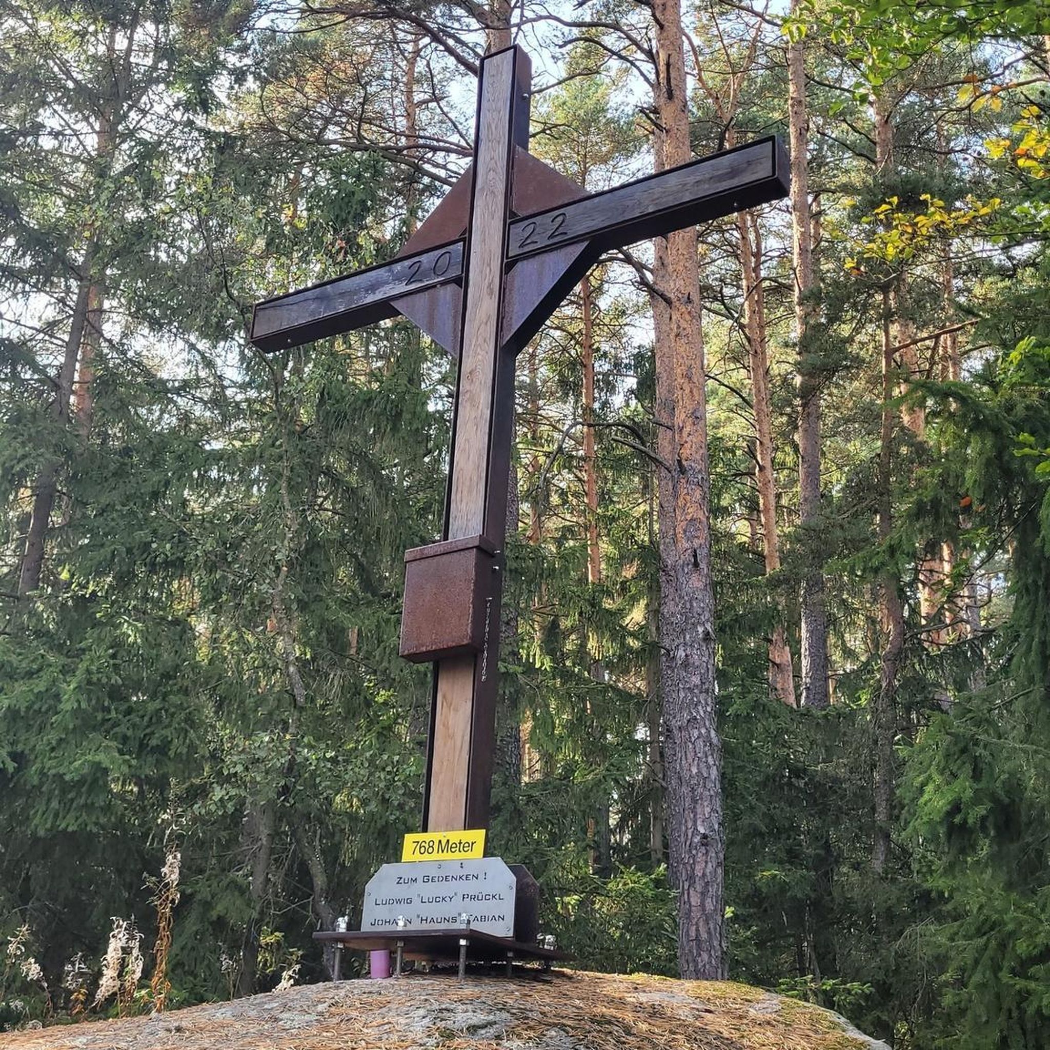
Sedbergh is a great starting point to explore the Howgills. Nice size pay and display car park with public toilets. There are also plenty of things to explore in the small town before or after you have been in the fells. Lots of great independent shops and cafes.
0
0


Almost traffic free
0
0


Cracking road either direction!
0
0
Frequently Asked Questions
How many running routes are available around Middleton?
Middleton offers a wide selection of running routes, with over 150 trails available for exploration. These routes cater to various fitness levels, including easy, moderate, and difficult options.
What kind of terrain can I expect on Middleton's running trails?
The running trails around Middleton are characterized by significant elevation changes, prominent summits, and varied hilly terrain. You can expect a robust environment with paths that often involve considerable ascents, making it suitable for runners seeking a challenge.
Are there any circular jogging routes in Middleton?
Yes, many of the running routes in Middleton are circular. For example, you can explore The Calf Summit loop from Sedbergh School, which is a challenging 8.1-mile path, or the Running loop from Sedbergh School, a 4.2-mile trail through hilly terrain.
Are there running routes that feature waterfalls?
Absolutely. Middleton's landscape includes stunning waterfalls. A notable route is The Calf Summit – Cautley Spout Waterfall loop from Sedbergh School, which features the impressive Cautley Spout Waterfall. Other nearby waterfalls include Thornton Force waterfall and Low Force Waterfall (Force Gill).
Can I find routes that lead to prominent summits?
Yes, Middleton is known for its prominent summits. Many routes offer challenging ascents to high points. Consider the Arant Haw summit cairn – Winder Summit Trig Points loop from Sedbergh School, which takes you to significant viewpoints like Arant Haw summit cairn.
Are there running routes suitable for families or beginners?
While many routes in Middleton are challenging, there are options for less experienced runners and families. Out of the over 150 routes, 15 are classified as easy, offering gentler gradients and shorter distances to enjoy the scenic surroundings.
What do other runners say about the trails in Middleton?
The running trails in Middleton are highly regarded by the komoot community, boasting an average rating of 4.6 stars from over 10 reviews. Runners frequently praise the challenging ascents, varied landscapes, and the rewarding views from the summits and waterfalls.
Where do many of the running routes in Middleton typically start?
Many of the popular running routes in Middleton, especially those exploring the fells, often originate from areas around Sedbergh School. This provides a convenient starting point for accessing various trails, including those leading to The Calf Summit and Cautley Spout.
What are the typical distances for jogging routes in Middleton?
Running routes in Middleton vary significantly in length. You can find shorter trails, such as the Running loop from Sedbergh School at 4.2 miles (6.7 km), up to longer, more demanding routes like The Calf Summit – Cautley Spout Waterfall loop from Sedbergh School, which spans 11.7 miles (18.9 km).
Are the jogging routes around Middleton dog-friendly?
Many trails in the Middleton area are suitable for dogs, especially those in the open fells and countryside. However, it's always recommended to keep dogs on a lead, particularly near livestock or in nature conservation areas, and to check specific route details for any restrictions.
Is parking available near the running trails in Middleton?
Parking is generally available at common starting points for trails, such as near Sedbergh School or in villages surrounding Middleton. It's advisable to check local signage for parking restrictions and fees, especially during peak seasons.
What is the best time of year for jogging in Middleton?
Spring and autumn often offer the most pleasant conditions for jogging in Middleton, with cooler temperatures and vibrant scenery. Summer can be excellent, but be prepared for warmer weather and potential crowds. Winter running is possible for experienced individuals, but trails can be challenging with ice and snow, especially at higher elevations.
Most popular attractions around Middleton

Get inspired with the komoot mobile app


Explore more
Browse the best Running Trails & Routes in other regions.
