The best walks and hikes around Temple Sowerby
4.4
(333)
2,702
hikers
105
hikes
Hiking around Temple Sowerby explores the Eden Valley, a region characterized by the meandering River Eden and the nearby Pennine fells. The landscape features a mix of gentle riverside paths, rolling farmland, and more demanding routes with significant elevation gain. Terrain consists mainly of footpaths through meadows, woodland trails, and rugged tracks on the fells. The area provides access to the Pennine hills, including Cross Fell, the highest point in the Pennines.
Best hiking trails around Temple Sowerby
- The most…
Last updated: August 5, 2026
4.8
(18)
136
hikers
19.3km
06:04
720m
720m
Hard hike. Very good fitness required. Easily-accessible paths. Suitable for all skill levels.
4.7
(3)
22
hikers
5.92km
01:35
70m
70m
Easy hike. Great for any fitness level. Easily-accessible paths. Suitable for all skill levels.

Sign up for free
4.0
(3)
6
hikers
4.81km
01:16
40m
30m
Easy hike. Great for any fitness level. Easily-accessible paths. Suitable for all skill levels.
4.0
(1)
6
hikers
21.5km
06:50
860m
860m
Hard hike. Very good fitness required. Easily-accessible paths. Suitable for all skill levels.
5.0
(1)
3
hikers
13.5km
03:29
70m
70m
Moderate hike. Good fitness required. Easily-accessible paths. Suitable for all skill levels.
Get access to more routes and recommendations from other explorers.
Sign up for free
Already have an account?
Our route recommendations are based on thousands of hikes, rides, and runs completed by other people on komoot.
Start today with a free account
Your next adventure awaits.
Login or Signup
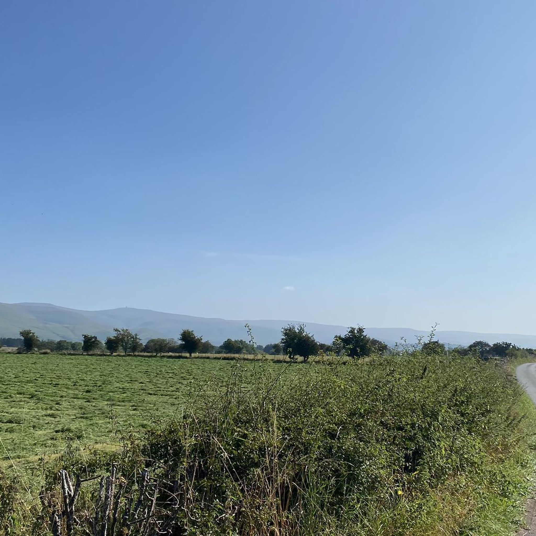
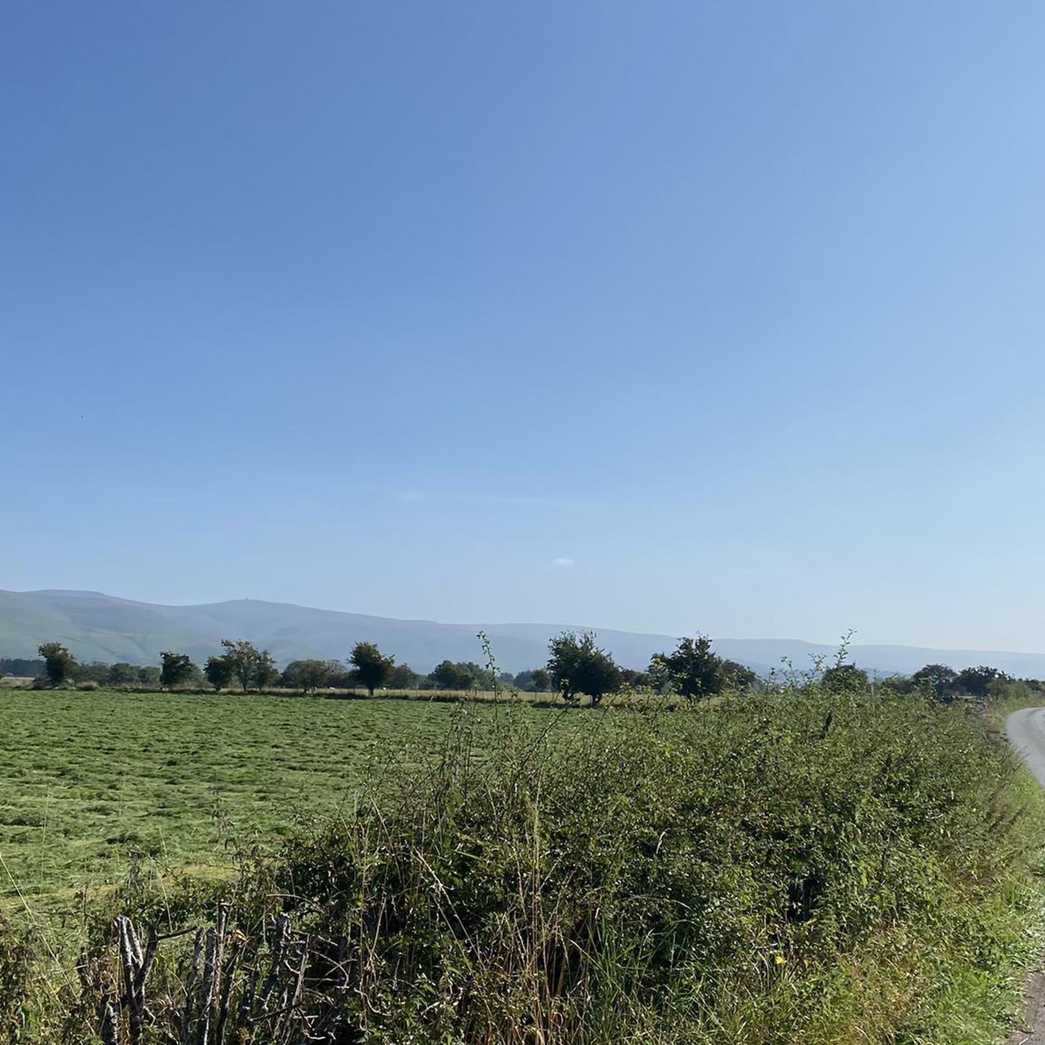
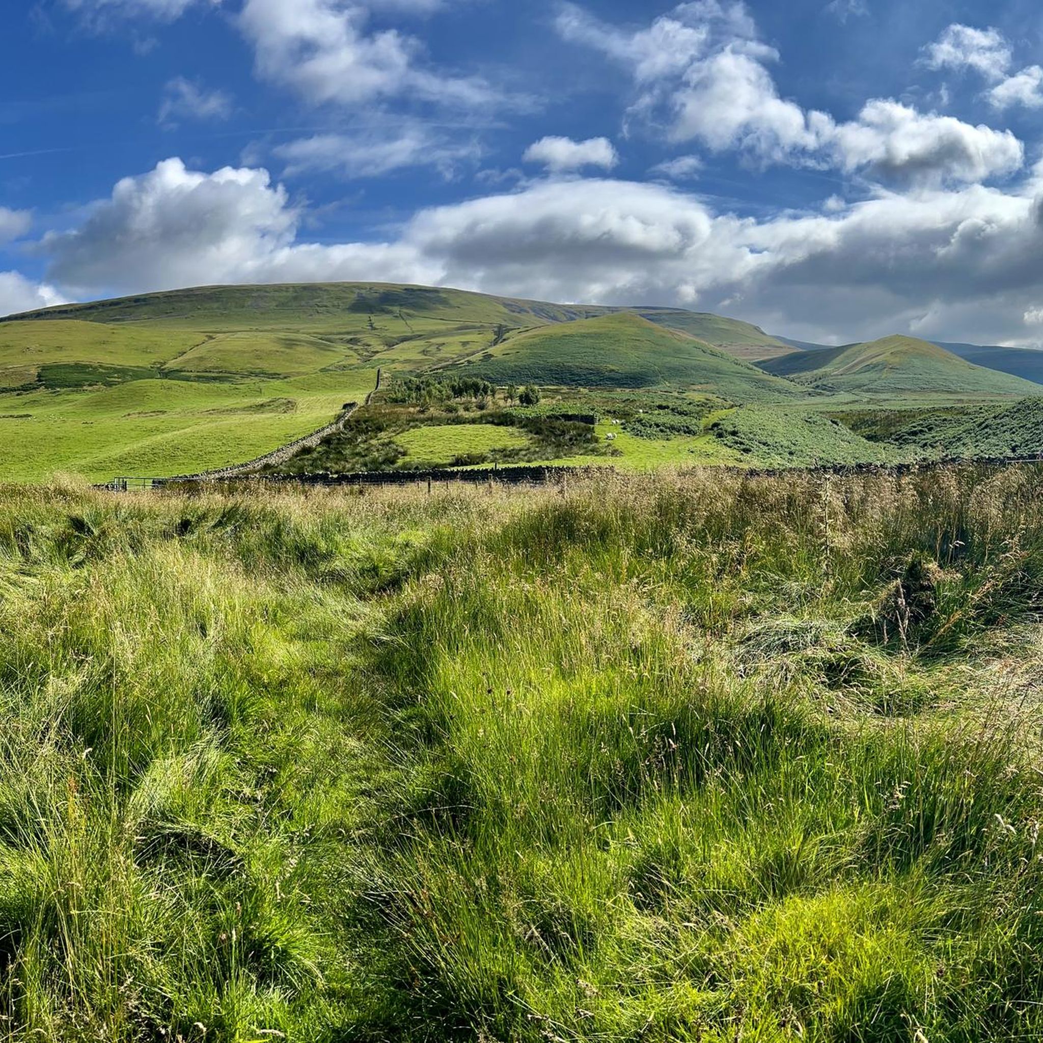
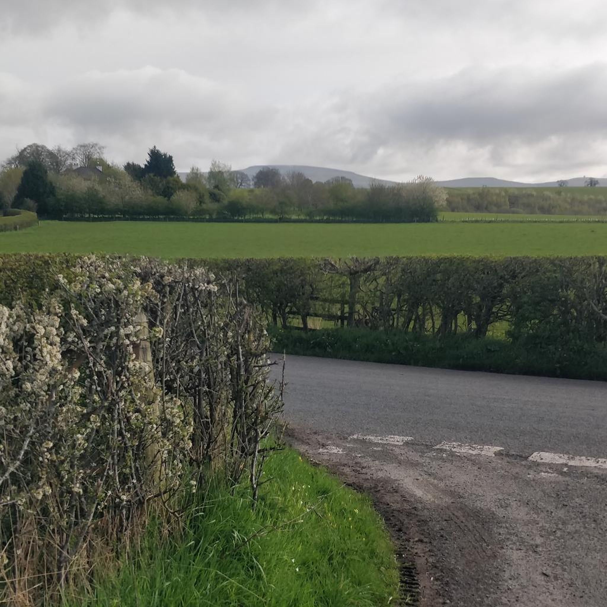
Tips from the Community

Great views on the way down from Cross fell.
0
0
The highest mountain in England outside of the Lake district, fantastic views if you can catch it on a clear day.
0
0

It is wet here, soggy surfaces mean the bike slows down and sometimes come to a standstill. Summer weather would be easier. You are in the clouds in these elevated areas
0
0
This section is tough to get through, the surface was very wet, traction and moving becomes difficult, you might have to push the bike up hill, it is quite steep. Weather conditions can be adverse in this location
0
0

Sandwiched between Cross Fell and Great Dun Fell is Little Dun Fell. This is a super hill to do, and the walking route to it from both of the aforementioned hills forms part of the Pennine Way, so it is slabbed with stone and well maintained. Little Dun Fell, however, is somewhat overshadowed by its more famous northern and southern neighbours, but I prefer this hill to the others. The views across to Cross Fell and Great Dun Fell are super nice, raw, and barren, with nothing in between just the path of the Pennine Way. It also has a small cairn on the top, and at 842 metres, it is also a UK-designated nuttall.
1
0
Great Dun Fell is a great hill to do, and at 848 metres high, it is a UK designated Nuttall. Coming up from Milburn is a great hike, but a tad boggy in places. It also gives you a stiff hike with around 700 metres of height gain. It is all worth it, however, as the views out over the North Pennines are super expansive from out over the eastern side of the hill, a virtual moonscape of moorland. On the western side, you have distant views of the Lake District. There is a cairn on the top, but the true summit sits within the communications compound, which has restricted access.
2
0
Now this is the first 'bog' warning highlight that I have put on Komoot. This is the main hiking route going up to Great Dun from Milburn, and as is normal in the Northern Pennines, things are always a tad boggy underfoot. I was hiking here today, however, half way through a very wet July (2024), and the depth of this surprised me. There is an obvious valley here and a gate. For about thirty metres after the gate heading north, the ground is sodden, it is basically a marsh and full of Bog Hair Grass. I only just got over to the other side using some ginger footwork and senile speed. I only went up to my knees in water and muck, but I felt that the bog had the capacity to be even more unforgiving, i.e., deeper. It might just be the wetter than normal July, and it is not like this in normal weather months? There also did not seem to be an obvious route around. It would, however, be a great place to put a duckboard system.
1
0
Milburn is a charming, beautiful village with an old fashioned village green. It lies underneath Cross Fell, which is the highest peak in the Northern Pennines AONB. Nearby are also Great Dun Fell and Little Dun Fell. The village is a great location to start a hike on any of these peaks. There is no car park as such, but when speaking to the locals, they advocated parking on the village green or on the grass outside the small village school, as long as it is not in term time.
1
0
Frequently Asked Questions
Are there many circular walks starting near Temple Sowerby?
Yes, the area is excellent for circular hikes. You can find routes of varying lengths, from short loops through meadows to more demanding circuits in the hills. A great example of an easy circular walk is the Ousenstand Bridge loop from Temple Sowerby, which follows the scenic banks of the River Eden.
What are some good options for easy, gentle walks?
The Eden Valley provides many opportunities for relaxed walking. The terrain is often flat, especially along the river. For a straightforward and pleasant walk, consider the Kings Meaburn River Circuit loop from Morland, which takes you through quiet countryside without any significant climbs.
Can I bring my dog on the trails around Temple Sowerby?
Many trails in the Eden Valley are suitable for dogs, but it's important to be mindful of the landscape. You will likely cross fields with livestock, so keeping your dog on a lead is essential. Also, be aware of ground-nesting birds on the fells during nesting season. The paths around Whinfell Forest are a popular choice for dog walkers.
Are there any family-friendly hikes in the area?
Absolutely. For a fun day out with the family, the Whinfell Forest loop from Melkinthorpe is a great choice. The paths are generally easy to navigate. For a mix of walking and activities, a visit to the nearby Lowther Castle offers extensive grounds with walking trails and an adventure playground.
Where can I find a challenging, long-distance hike?
For experienced hikers seeking a challenge, the Pennines offer strenuous routes with significant elevation. The ascent to the highest point in the Pennines, Cross Fell, is a classic demanding hike. The Cross Fell Summit – Milburn Village Green loop from Milburn is a difficult but rewarding full-day trek with panoramic views.
What is the hiking like at Acorn Bank?
National Trust's Acorn Bank is a very popular spot, known for its beautiful gardens and historic watermill. The walking trails here lead you through woodlands and along Crowdundle Beck. It's a fantastic option for a shorter walk combined with exploring the property's gardens, especially its renowned collection of herbs.
Are there any walks with waterfalls nearby?
Yes, for a spectacular waterfall walk, a short drive to National Trust's Aira Force and Gowbarrow Park is highly recommended. It's a local favorite, featuring a famous 65-foot waterfall set within a Victorian parkland with stone bridges and woodland paths that inspired the poet Wordsworth.
How many hiking trails are available around Temple Sowerby?
There is a wide variety of routes to explore, with over 100 trails mapped on komoot in the region. These range from easy riverside strolls and moderate woodland walks to difficult ascents in the Pennine fells, ensuring there's a path for every fitness level.
What do other hikers say about the trails in this region?
The hiking routes around Temple Sowerby are highly regarded by the komoot community. Reviewers often praise the peacefulness of the Eden Valley, the well-maintained riverside paths, and the stunning, far-reaching views from the top of the fells.
Where is a good place to park for a walk?
For walks starting in Temple Sowerby village, there is typically on-street parking available, but be sure to park considerately. For specific destinations like Aira Force or Acorn Bank, there are dedicated pay-and-display car parks. Many trailheads in smaller villages, such as Milburn, have informal parking areas near the village green.
Are there any pub walks in the area?
Yes, many walks can be planned to start or end at one of the region's traditional pubs. The village of Temple Sowerby itself has a pub, making it a perfect base. You can easily plan a circular route along the River Eden that finishes back in the village for refreshments.
What is the terrain like on the trails?
The terrain is quite varied. Around the village and along the River Eden, you'll find mostly gentle, grassy footpaths and quiet country lanes. As you head towards the Pennines, the trails become more rugged and steep, with rocky paths and open moorland that can be boggy in places.
Most popular attractions around Temple Sowerby

Get inspired with the komoot mobile app


Explore more
Browse the best Hikes in other regions.
