The 11 Most Amazing Peaks around Schutterwald
Best mountain peaks near Schutterwald are situated in a region defined by the Upper Rhine Plain, with the town itself at a low elevation. While traditional mountain peaks are not within its immediate municipal boundaries, the area offers diverse natural features. These include extensive forests, a 31-hectare quarry pond, and nature reserves like "Unterwassermatten." The proximity to the Black Forest provides access to more significant mountainous terrain.
Best mountain peaks around Schutterwald
- The most popular mountain peaks is Hohes Horn…
Last updated: September 26, 2026
Brandeck Tower on Brandeckkopf
Highlight • Monument
Translated by Google •
Tip by

Hohes Horn with observation tower
Highlight • Viewpoint
Translated by Google •
Tip by

Sign up now to discover places like this
Get recommendations on the best single tracks, peaks, & plenty of other exciting outdoor places.
Prälatenkopf Trail
Highlight • Trail
Translated by Google •
Tip by

Keugeleskopf
Highlight (Segment) • Summit
Translated by Google •
Tip by

Geigenköpfle Summit
Highlight • Summit
Translated by Google •
Tip by

Sign up for free to discover even more peaks around Schutterwald.
Already have an account?
Start today with a free account
Your next adventure awaits.
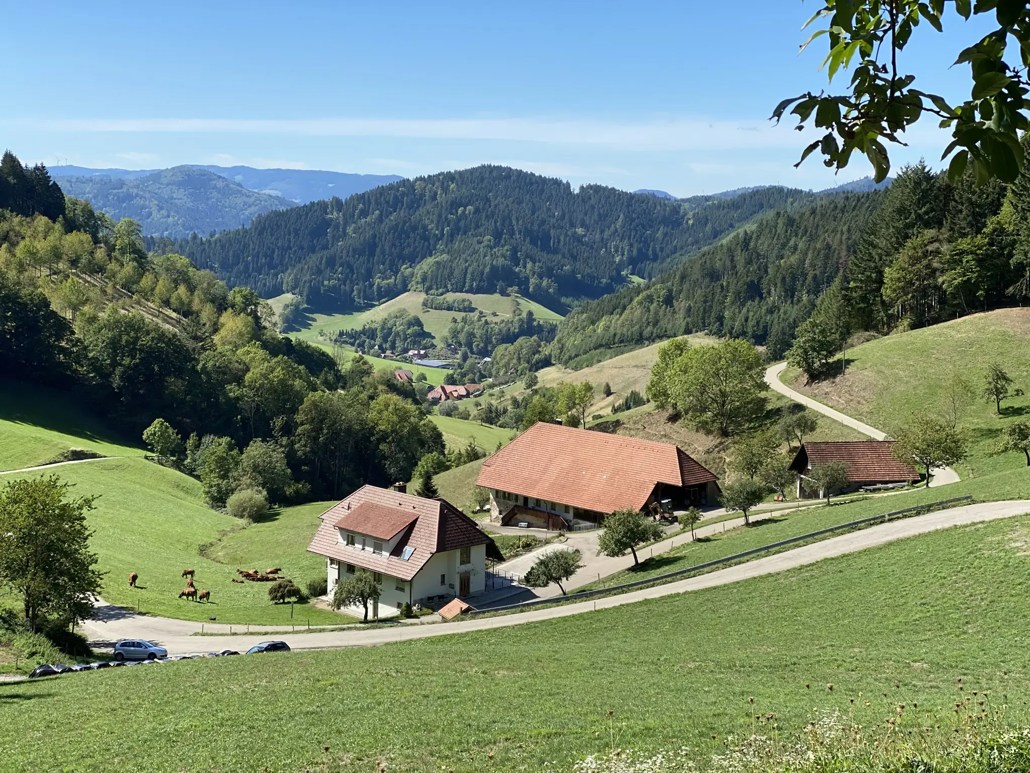
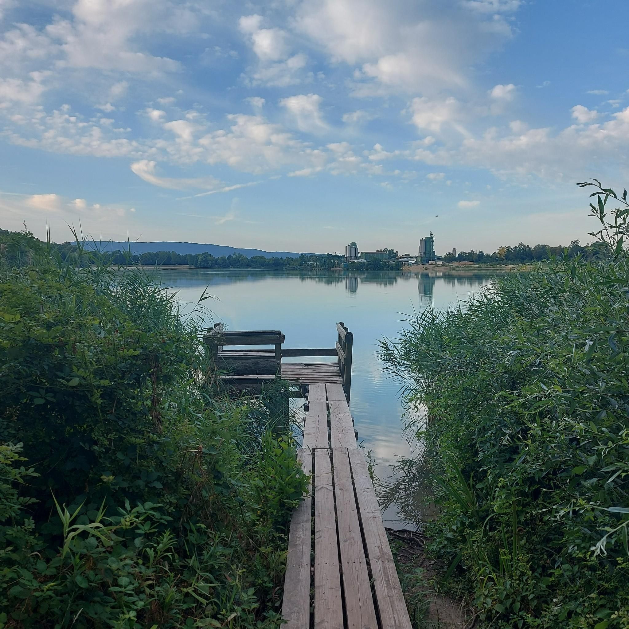
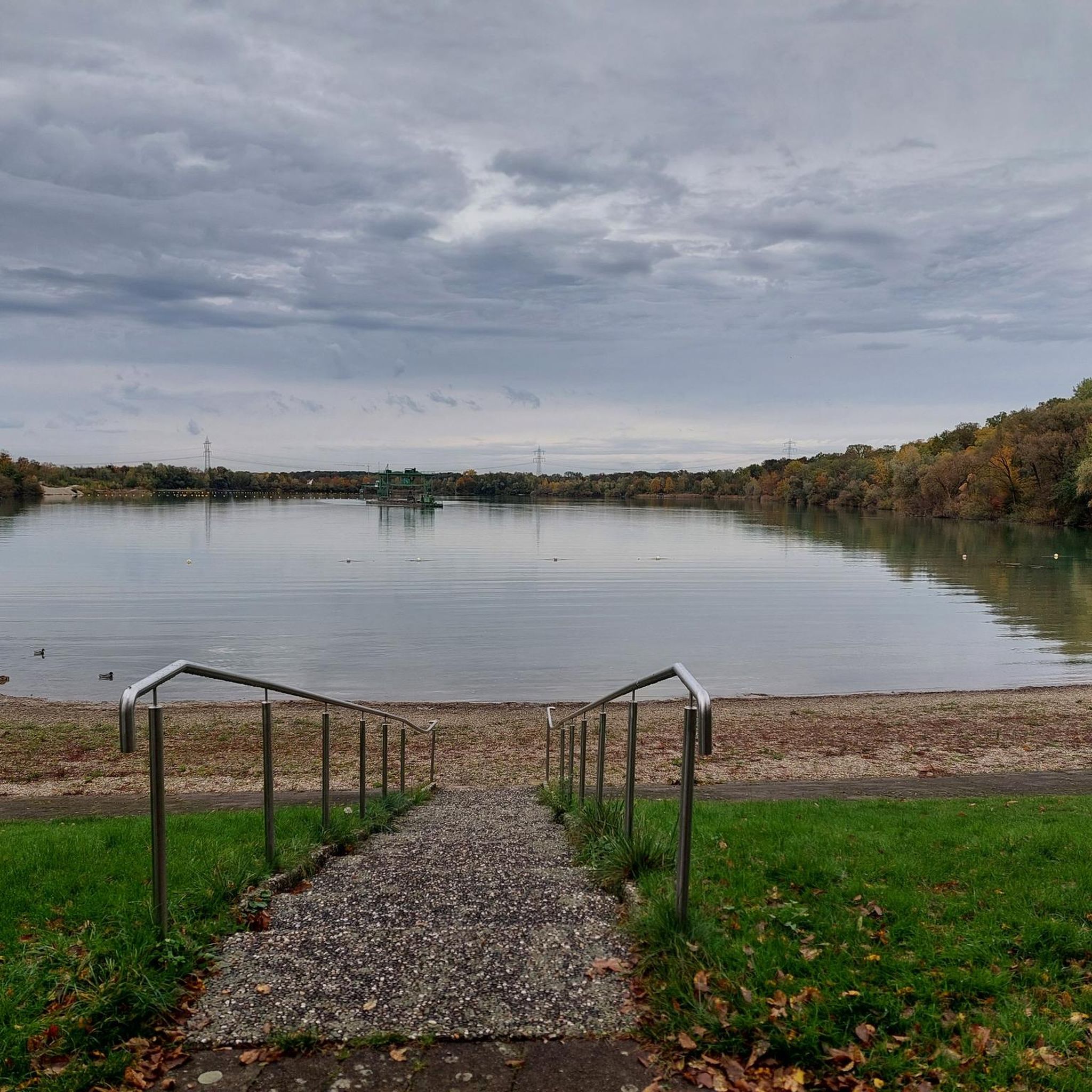
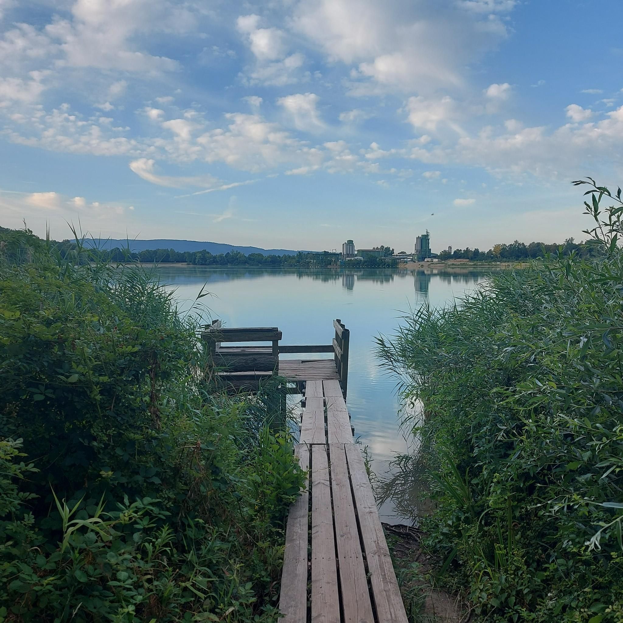

Other adventures around Schutterwald

Tips from the Community

Unfortunately there is no view from this point. The sign is the only identification.
2
0

The Prälatenkopf (Hoher Bühl) at 514 m above sea level unfortunately offers little visibility, but is still worth a visit!
8
1
Here you have a gigantic view of the Rhine plain as far as France! just beautiful.
10
1

beautiful view over the Rhine Valley to the Vosges and the Kinzig Valley
5
0

With good visibility you can see almost the entire Black Forest - from the Badnerhöhe in the north to the Blauen in the south, with Kandel, Feldberg and Belchen in between.
6
0
Additional vertical meters that are not worth it. Nothing worth seeing apart from a sign.
3
0
Curious and painstakingly climbed the mountain, only to see nothing. But the beautiful trail made up for it.
4
0

I think I'm standing in the forest 😉... there isn't much of a view on the mountain that takes you from Ortenberg to Ohlsbach and into the Ohlsbachtal (but nice paths!)
5
0
Frequently Asked Questions
What kind of elevated spots can I explore around Schutterwald?
While Schutterwald itself is located in the flat Upper Rhine Plain, the surrounding region, particularly towards the Black Forest, offers various elevated spots. These include forested summits, viewpoints, and areas with observation towers, providing opportunities to enjoy nature and panoramic views.
Which are the most popular viewpoints or 'peaks' near Schutterwald?
Among the most popular elevated spots are Hohes Horn with observation tower, known as Offenburg's local mountain, offering 360-degree views on clear days. Another favorite is Brandeck Tower on Brandeckkopf, a man-made monument providing extensive views of the landscape.
Are there any summits with trails that offer glimpses of the surrounding valleys?
Yes, Keugeleskopf is a summit accessible via narrow paths. While it doesn't offer completely unobstructed views, you can catch glimpses of the Kinzig Valley through the trees, making for a scenic walk.
What natural features can I find in the immediate vicinity of Schutterwald, beyond traditional mountain peaks?
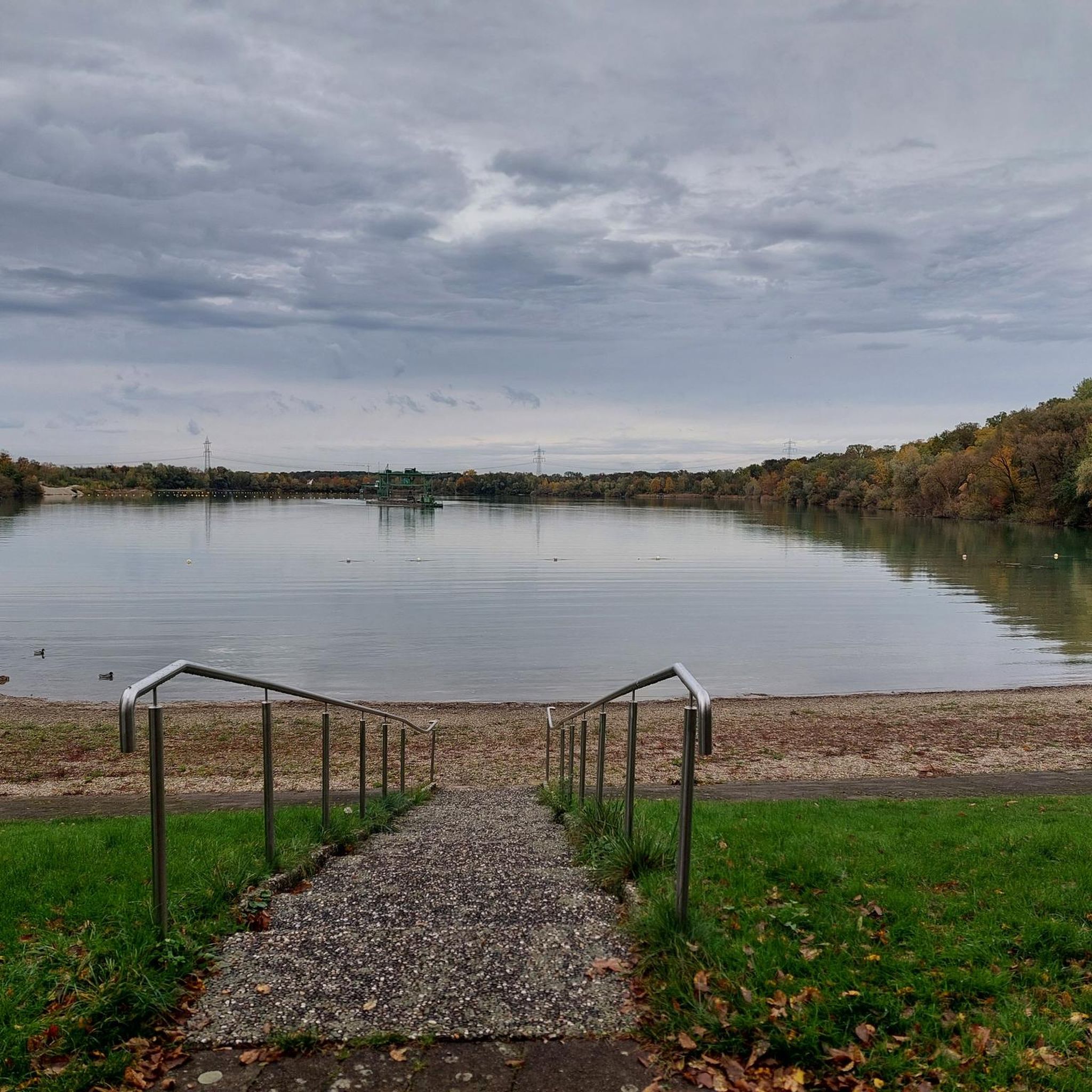
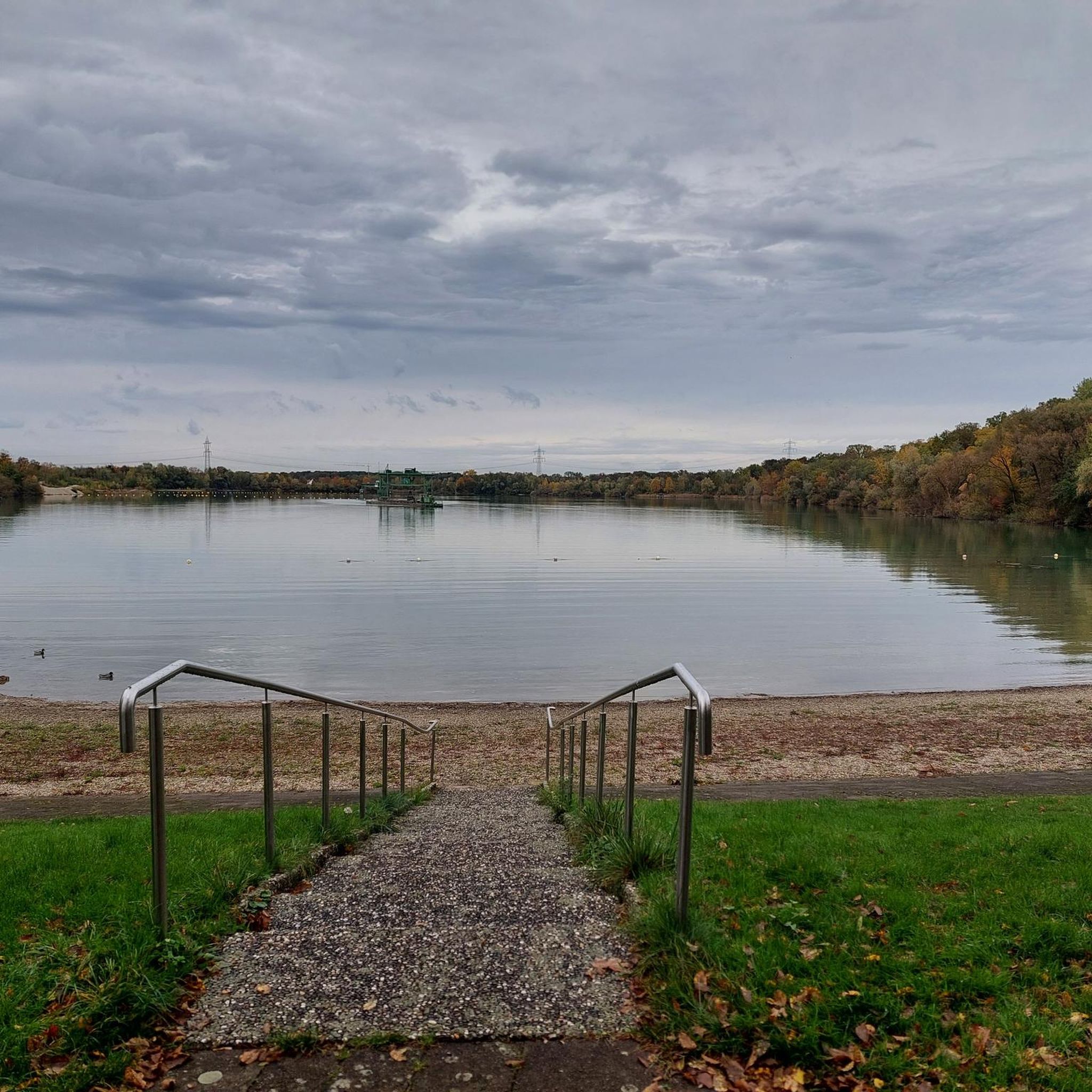
Schutterwald's immediate surroundings feature extensive forests, a 31-hectare quarry pond popular for swimming and recreation, and nature reserves like 'Unterwassermatten.' An educational forest trail is also present, and the River Schutter offers riverside barbecue areas.
Are there family-friendly options for outdoor activities near Schutterwald?
Absolutely. The quarry pond on the eastern outskirts of Schutterwald is a great family spot, featuring a lido for swimming, sunbathing areas, a children's playground, and beach volleyball facilities. There's also a circular trail around the lake suitable for all ages.
What kind of hiking trails are available around Schutterwald?
You'll find a variety of hiking trails, from easy loops around the quarry lake to more intermediate paths leading to elevated points. For instance, the Hiking around Schutterwald guide features routes like 'Poetry by the Lake – Gravel lake in Ortenaukreis loop' and 'Schutterwald Quarry Lake loop'.
Can I find cycling routes near the elevated areas around Schutterwald?
Yes, the region offers various cycling routes. The Road Cycling Routes around Schutterwald guide includes options like the 'Kinzig Riverside Path – Gengenbach Old Town loop' and the 'Staufenberg Castle Climb – Bottenau Cycle Path loop', which can take you through scenic areas near the elevated terrain.
What do visitors particularly enjoy about the elevated spots and natural areas near Schutterwald?
Visitors frequently praise the great views from observation towers like Hohes Horn and Brandeck Tower. They also appreciate the well-maintained trails through forests, the peaceful atmosphere of the nature reserves, and the recreational opportunities offered by the quarry pond.
Is there a less-known summit or trail worth exploring for a quieter experience?
The Prälatenkopf Trail, leading to Prälatenkopf (Hoher Bühl) at 514 m, offers a quieter experience. While it has limited views, it's part of a beautiful hiking area and provides additional vertical meters for those seeking a more secluded path.
What is the highest point mentioned in the region around Schutterwald?
The Reigenkuppe (600 m) is one of the higher summits mentioned, offering a beautiful hiking area with great infrastructure for both hikers and mountain bikers, showcasing the varied landscape of the Black Forest and Ortenau district.
What is the best time of year to visit the elevated spots and natural areas around Schutterwald?
The region is enjoyable throughout the warmer months, from spring to autumn, when the forests are lush and the weather is pleasant for hiking and outdoor activities. Clear days offer the best visibility from observation towers. Even winter can be beautiful for walks, though some trails might be more challenging.
Are there running trails available near Schutterwald's natural attractions?
Yes, there are several running trails. The Running Trails around Schutterwald guide includes routes like the 'Schutterwaldsee loop' and the 'Baggersee Schutterwald loop', which are great for enjoying the local scenery while jogging.
Most popular routes around Schutterwald
Most popular attractions around Schutterwald

Get inspired with the komoot mobile app


Explore more
See even more amazing summits around Schutterwald with these guides:
