The best road cycling routes around Craigshill
4.7
(58)
4,880
riders
309
rides
Road cycling routes around Craigshill traverse a varied landscape, offering diverse terrain for cyclists. The area features prominent elevated viewpoints like Cockleroy Hill, which rises to 278 meters. Routes often incorporate historical engineering marvels such as the Avon Aqueduct and sections alongside the Union Canal. The region provides a mix of challenging climbs and scenic paths, catering to different road cycling preferences.
Best road cycling routes around Craigshill
- The most popular road cycling route is Biggar High Street – Wind…
Last updated: July 9, 2026
38
riders
93.0km
04:11
850m
850m
Moderate road ride. Good fitness required. Some segments of this route may be unpaved and difficult to ride.
3.0
(1)
85
riders
43.2km
01:55
380m
380m
Moderate road ride. Good fitness required. Some segments of this route may be unpaved and difficult to ride.

Sign up for free
18
riders
98.1km
04:24
830m
830m
Moderate road ride. Good fitness required. Some segments of this route may be unpaved and difficult to ride.
9
riders
33.8km
01:45
400m
400m
Moderate road ride. Good fitness required. Mostly well-paved surfaces and easy to ride.
7
riders
25.6km
01:15
210m
210m
Easy road ride. Great for any fitness level. Mostly well-paved surfaces and easy to ride.
Get access to more routes and recommendations from other explorers.
Sign up for free
Already have an account?
Our route recommendations are based on thousands of hikes, rides, and runs completed by other people on komoot.
Start today with a free account
Your next adventure awaits.
Login or Signup
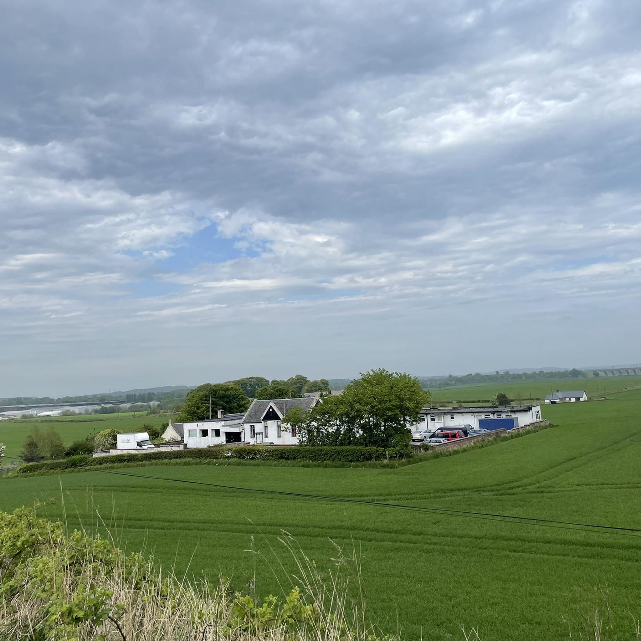
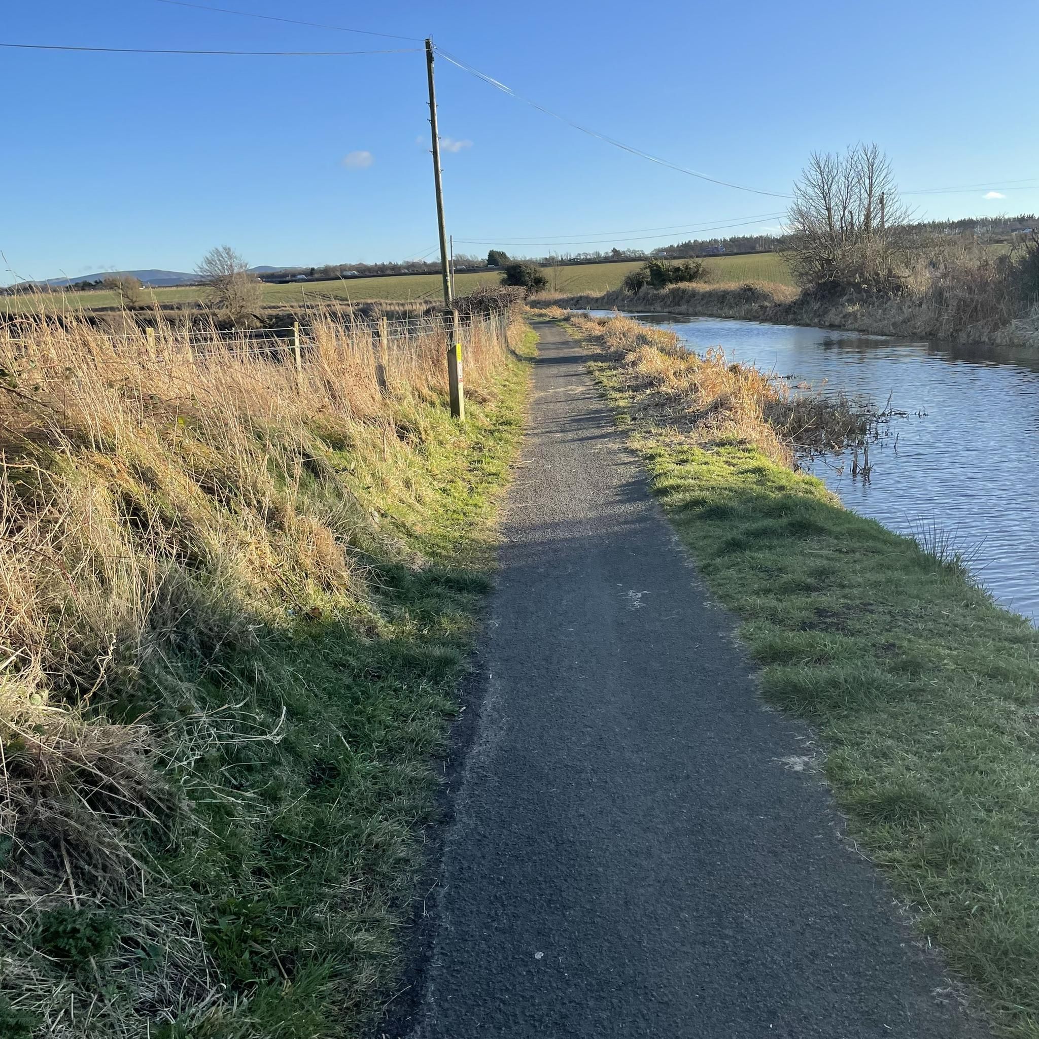
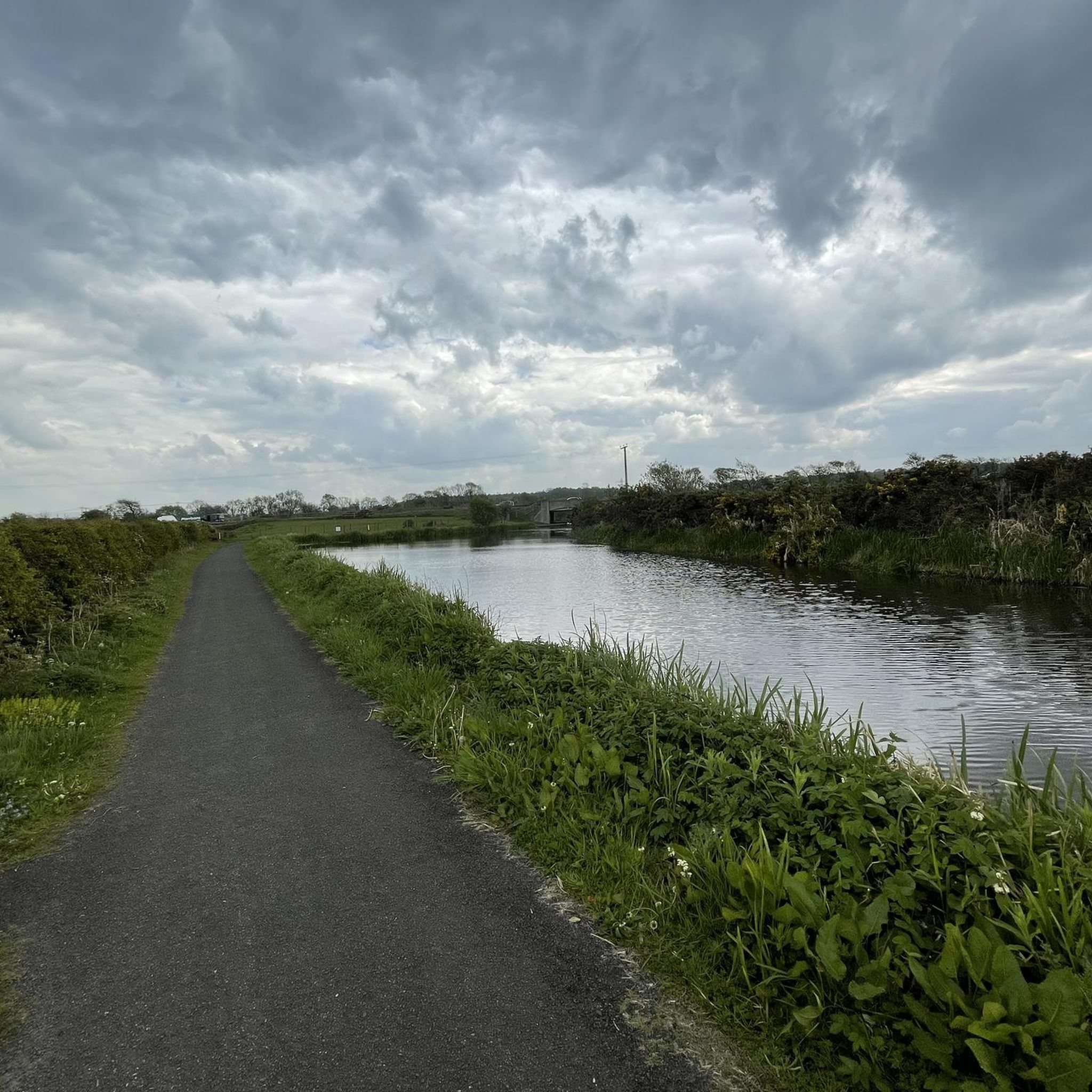


Tips from the Community

I’d say this is actually one of the harder climbs in the Bathgate Alps, it just keeps going up with very little let up. You think it’s going to end but nope, it just keeps going. It can be one of the busier ones with traffic as well so keep that in mind. I often avoid this one!
1
0

Choices, choices, plenty of little gems for stocking up or sitting outside and enjoying the calm.
0
0

A great place in middle of nowhere when a coffee break and cheese toast is essential in middle of long ride. Cheese Toastie's is the highlight of this place.
0
0
Really nice gentle climb into the Bathgate Alps
0
0

Calm & cool spot to stop & catch a breath - much better when it's on your right & the wind is with you, than when it's on your left & the endless wind is against you. Beautiful none the less.
0
0

Lovely winding road to Harburn, and then a kick up to join the Lang Wang
0
0
Frequently Asked Questions
How many road cycling routes are available around Craigshill?
There are over 320 road cycling routes around Craigshill, offering a wide variety of options for cyclists of all levels. This includes 92 easy routes, 213 moderate routes, and 15 more challenging routes.
What kind of terrain can I expect on road cycling routes in Craigshill?
Road cycling routes around Craigshill feature varied terrain, from challenging climbs to scenic paths. You can expect significant elevation changes, especially when incorporating elevated viewpoints like Cockleroy Hill, which rises to 278 meters. Routes also often include sections alongside historic waterways like the Union Canal.
Are there any easy road cycling routes suitable for beginners or families?
Yes, Craigshill offers 92 easy road cycling routes. One popular option is the Long Dalmahoy Road – Union Canal Monument loop from West Lothian, an easy 20.3-mile (32.7 km) path that combines open roads with sections near the historic Union Canal.
What are some notable landmarks or viewpoints I can see while cycling?
Road cycling routes around Craigshill offer access to several significant landmarks and viewpoints. You can enjoy breathtaking 360-degree panoramic views from Cockleroy Hill Summit. Other notable features include the impressive Avon Aqueduct, carrying the Union Canal, and the historic Cairnpapple Hill. The area is also close to attractions like Linlithgow Palace.
Can I cycle along the Union Canal towpath with a road bike?
The Union Canal towpath provides a scenic and historically rich path, often traversed by the John Muir Way. While it offers picturesque sections, it can be narrow and bumpy in places due to tree roots. This makes it more suited for leisurely spins rather than high-speed training on a typical road bike. Consider the surface conditions before planning a route exclusively on the towpath.
Are there any routes that include significant climbs?
Yes, many routes in the Craigshill area feature significant climbs. For example, the Biggar High Street – Wind Turbines Near Woolfords loop from Uphall is a moderate 57.6-mile (92.7 km) route with over 850 meters of elevation gain through rural landscapes, offering a rewarding challenge.
What do other cyclists say about road cycling in Craigshill?
The road cycling routes around Craigshill are highly rated by the komoot community, with an average score of 4.8 stars from over 50 reviews. Cyclists often praise the varied terrain, the challenging climbs, and the scenic beauty, including historic waterways and elevated viewpoints.
Are there any circular road cycling routes available?
Yes, many of the routes around Craigshill are designed as loops, allowing for circular rides. Examples include the Hay Hill – Peace Knowe Climb loop from Uphall, a moderate 33.5-mile (33.5 km) route, and the Llama Field Road – Burnhouse Road, Bathgate Alps loop from Uphall, an easy 25.5-mile (25.5 km) option.
What natural features can I explore near the cycling routes?
Beyond the routes themselves, the region offers several natural attractions. You can find beautiful lakes such as Beecraigs Loch and Harperrig Reservoir. The area also features various peaks like Hillhouse Hill (Bathgate Alps) and Binny Hill, which can be seen from many cycling paths.
How long do road cycling routes typically take in Craigshill?
Route durations vary significantly based on distance and difficulty. For instance, an easy route like the Long Dalmahoy Road – Union Canal Monument loop from West Lothian (20.3 miles) takes approximately 1 hour 27 minutes. More challenging routes, such as the River Clyde – Wind Turbines Near Woolfords loop from Uphall (61.0 miles), can take around 4 hours 23 minutes.
Most popular attractions around Craigshill

Get inspired with the komoot mobile app


Explore more
Browse the best Road cycling routes in other regions.
