The best running trails around Thornhill And Blairdrummond
4.6
(59)
6,462
runners
342
runs
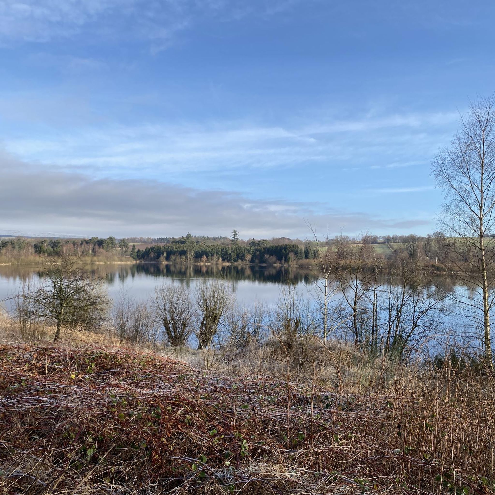
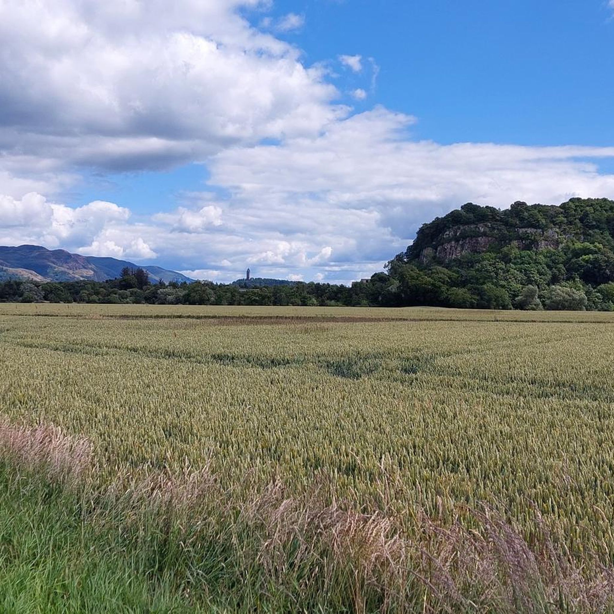
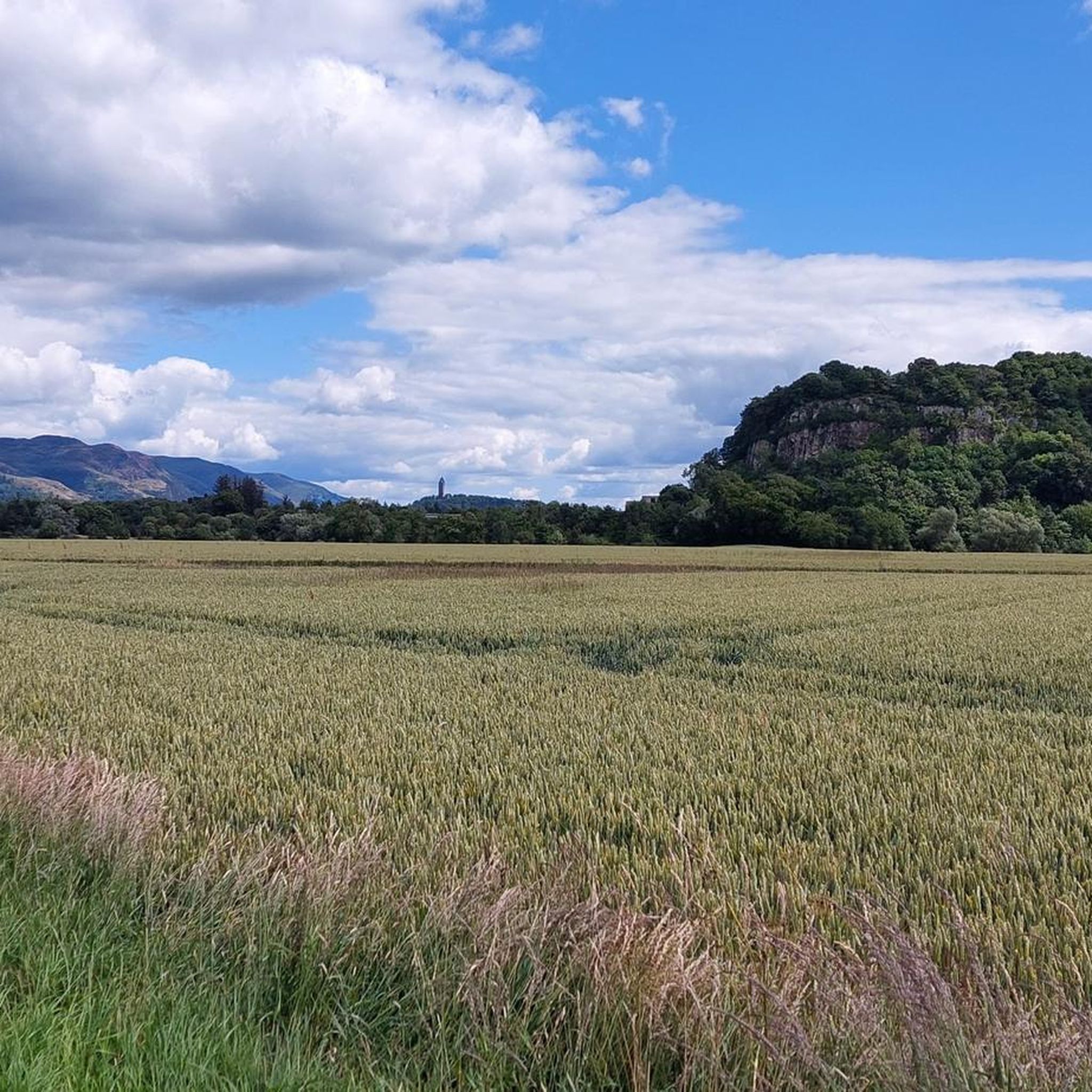
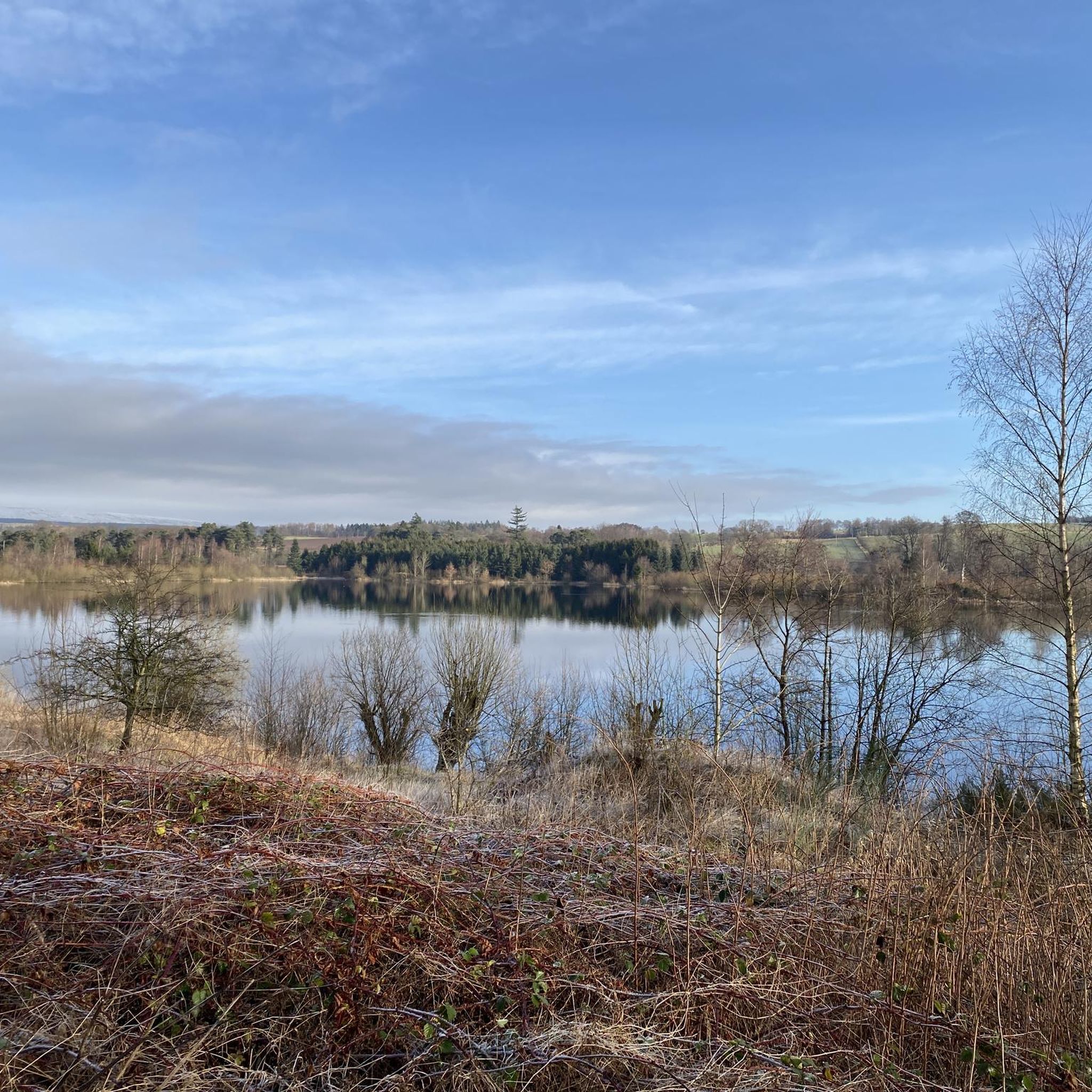
Jogging around Thornhill And Blairdrummond offers a diverse range of terrain, from the flat agricultural lands of the Carse of Stirling, shaped by the River Forth, to the unique raised bog ecosystem of Flanders Moss. The area also provides scenic views towards the Carron Valley, Fintry Hills, and the Trossachs Hills. This varied landscape includes open fields, country paths, and established routes suitable for running.
Best jogging routes around Thornhill And Blairdrummond
- The most popular jogging route is Doune Ponds…
Last updated: August 4, 2026
25
runners
Moderate run. Good fitness required. Mostly paved surfaces. Suitable for all skill levels.
20
runners
13.4km
01:28
150m
150m
Moderate run. Good fitness required. Mostly paved surfaces. Suitable for all skill levels.

Sign up for free
5.0
(1)
18
runners
8.39km
00:55
80m
80m
Moderate run. Good fitness required. Mostly paved surfaces. Suitable for all skill levels.
20
runners
18.4km
02:01
260m
260m
Hard run. Very good fitness required. Mostly paved surfaces. Suitable for all skill levels.
10
runners
5.32km
00:34
40m
40m
Moderate run. Good fitness required. Mostly paved surfaces. Suitable for all skill levels.
Get access to more routes and recommendations from other explorers.
Sign up for free
Already have an account?
Our route recommendations are based on thousands of hikes, rides, and runs completed by other people on komoot.
Start today with a free account
Your next adventure awaits.
Login or Signup

Tips from the Community

Watch the anglers catching trout from bank and boat.
0
0

take some bird food for the ducks and swans here.
0
0

Path from Doune heading out towards Dunblane avoiding the main road it ends onto a quiet backroad which you can then use to get to Dunblane without having to cycle on the main road.
1
0

Doune was also famous for its manufacture of pistols, but this eventually ceased due to the competition of manufacturers in, for example, Birmingham where production was cheaper. Today, these pistols are collected and can be found in major museums, including the Museum of Scotland in Edinburgh. Allegedly a Doune pistol fired the first shot of the American War of Independence.
0
0


Dominating the skyline for miles around, Stirling Castle is a shining example of Renaissance architecture. Visitors can look out from its high stone walls to the battlefields of Stirling Bridge where great medieval armies clashed to decide the fate of nations. Home to generations of Scottish monarchs including, Mary Queen of Scots, the Castle is an enduring and powerful reminder of our fascinating history.
0
0

The River Teith is formed from the confluence of two smaller rivers, the Garbh Uisge (River Leny) and Eas Gobhain at Callander, Stirlingshire. It flows into the River Forth near Drip north-west of Stirling.
0
0
Gillies Hill is located west of Stirling and the M9, south of Cambusbarron, and north of the Bannock Burn in Central Scotland. Gillies Hill covers a 140 hectares (350 acres) crag and tail which rises from a height of 79 metres (259 ft) at the Bannock Burn Bridge near Sauchie Craig to an elevation of 162 metres (531 ft)[1][2] at a point which overlooks the former quarrying operation to the west and Stirling Castle to the east. The hill lies north of the Bannock Burn, northeast of Sauchie Craig (an area designated SSSI, Site of Special Scientific Interest), east of the Touch Hills and Murrayswood, south of Cambusbarron, and west of Stirling and the M9. Gillies Hill is the hill from which Robert the Bruce’s camp followers, or Gillies, descended onto the field of the Battle of Bannockburn in 1314 turning the tide of the battle which granted Scotland nearly 400 years of independence. The majority of Gillies Hill has been classified as a Semi-natural Ancient Woodland by the Woodland Trust using aerial surveys and by a follow-up Phase 1 habitat survey conducted in 2010. To date 21 Scotland & 38 United Kingdom ancient woodland indicator species have been documented on the hill demonstrating that the woodland’s understory and sections of its tree cover have been cloaked in woodland for centuries; the earliest mapped confirmation of trees on the site dates back to the 1580s Pont map
3
0
Frequently Asked Questions
How many running routes are available in Thornhill and Blairdrummond?
There are over 360 running routes around Thornhill and Blairdrummond, offering a wide variety of options for all skill levels. You'll find everything from easy paths to more challenging trails.
What kind of terrain can I expect on the jogging routes in this area?
The region offers a diverse range of terrain. You can expect flat agricultural lands in the Carse of Stirling, unique raised bog ecosystems like Flanders Moss, and scenic paths with views towards the Carron Valley, Fintry Hills, and the Trossachs Hills. This mix provides options from open fields to country paths.
What do other runners say about the trails in Thornhill and Blairdrummond?
The running trails in Thornhill and Blairdrummond are highly rated by the komoot community, with an average score of 4.8 stars from over 60 reviews. Runners often praise the varied landscapes, from peaceful agricultural paths to more challenging routes with rewarding views.
Are there easy running routes suitable for beginners?
Yes, there are plenty of easy running routes. Out of the over 360 routes available, 35 are classified as easy, making them perfect for beginners or those looking for a relaxed jog. An example of a moderate route that is not too challenging is Running loop from Doune, which is just over 5 km long.
Are there options for longer distance running or more challenging trails?
Absolutely. For those seeking a longer run or a greater challenge, there are 101 difficult routes and 231 moderate routes available. A challenging option is the View of Stirling Castle – View from the Commondry loop from Raploch, which spans over 18 km and offers significant elevation changes.
Are there any circular jogging routes in the area?
Many of the jogging routes in Thornhill and Blairdrummond are circular, allowing you to start and finish in the same location. For example, the Doune Ponds Nature Reserve – Old Ford Crossing loop from Doune is a popular circular route that explores the nature reserve.
Can I bring my dog on the running trails?
While many outdoor areas in Scotland are dog-friendly, it's always best to check specific trail regulations, especially in nature reserves like Flanders Moss or areas with livestock. Generally, dogs are welcome on public paths if kept under control, but always be mindful of local signage and wildlife.
Are there family-friendly jogging options or attractions nearby?
Yes, the area offers family-friendly jogging options, particularly on flatter paths. Additionally, Blair Drummond is famous for the Blair Drummond Safari Park, a major family attraction with animal encounters and adventure play areas, which can be a great complement to a family outing. For a run, consider routes around the North and South Commons in Thornhill.
What are some scenic running routes with good views?
Many routes offer scenic views, especially those that venture towards the Fintry Hills and the Trossachs. The Muir Dam Path, leading up through Nelly's Glen and over the Boquhapple Ridge, is known for its stunning vistas. You can also find routes with views of landmarks like Stirling Castle.
Are there any notable landmarks or natural features to see along the jogging routes?
Yes, the region is rich in natural beauty and historical sites. You might encounter unique landscapes like Flanders Moss, one of Britain's largest intact raised bogs. Nearby attractions include the impressive Bracklinn Falls and the historic Stirling Castle. The Dumyat Summit also offers panoramic views.
Are there any cafes or pubs near the running trails for refreshments?
Thornhill village itself offers local amenities where you can find refreshments. Many routes pass through or near villages where you can find cafes or pubs to refuel after your run. It's a good idea to check local listings for specific opening times.
What is the best time of year for jogging in Thornhill and Blairdrummond?
The area is beautiful year-round, but spring and autumn often provide the most pleasant conditions for jogging with milder temperatures and vibrant scenery. Summer is also popular, though some paths might be busier. Winter running is possible, but be prepared for potentially wet or icy conditions on certain trails.
Most popular routes around Thornhill And Blairdrummond
Most popular attractions around Thornhill And Blairdrummond

Get inspired with the komoot mobile app


Explore more
Browse the best Running Trails & Routes in other regions.
