The best MTB trails around Jackton And Thorntonhall
4.2
(43)
437
riders
45
rides
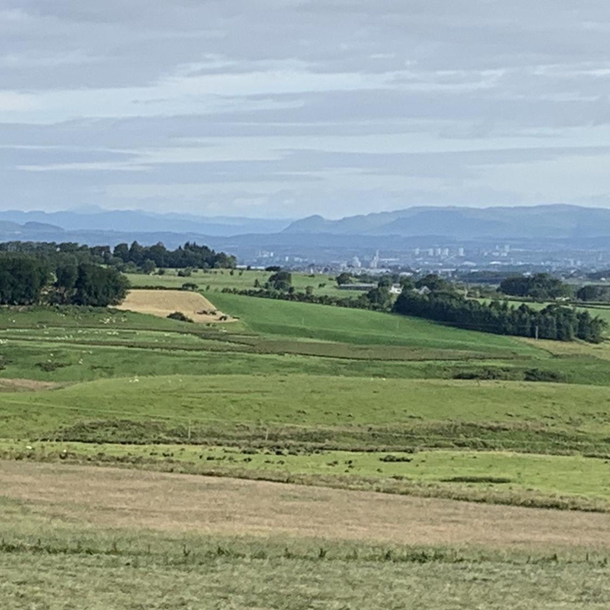
Mountain bike trails around Jackton And Thorntonhall offer diverse terrain for outdoor enthusiasts. The area is characterized by its proximity to varied trails, elevated positions providing expansive views over Glasgow, and a mix of wooded areas and open land. Jackton itself sits at approximately 490 feet (150 meters) above sea level, contributing to the hilly and undulating terrain found on many routes.
Best mountain bike trails around Jackton And Thorntonhall
- The most popular mountain bike trail is Cathkin Braes Red…
Last updated: July 21, 2026
5.0
(1)
12
riders
20.7km
01:50
350m
350m
Hard mountain bike ride. Good fitness required. Advanced riding skills necessary. Some portions of the route may require you to push your bike.
46
riders
52.1km
04:11
550m
550m
Moderate mountain bike ride. Good fitness required. Suitable for all skill levels.

Sign up for free
13
riders
53.0km
04:19
610m
610m
Moderate mountain bike ride. Good fitness required. Suitable for all skill levels.
5.0
(1)
4
riders
Moderate mountain bike ride. Good fitness required. Suitable for all skill levels.
6
riders
26.1km
01:55
320m
320m
Moderate mountain bike ride. Good fitness required. Suitable for all skill levels.
Get access to more routes and recommendations from other explorers.
Sign up for free
Already have an account?
Our route recommendations are based on thousands of hikes, rides, and runs completed by other people on komoot.
Start today with a free account
Your next adventure awaits.
Login or Signup

Tips from the Community


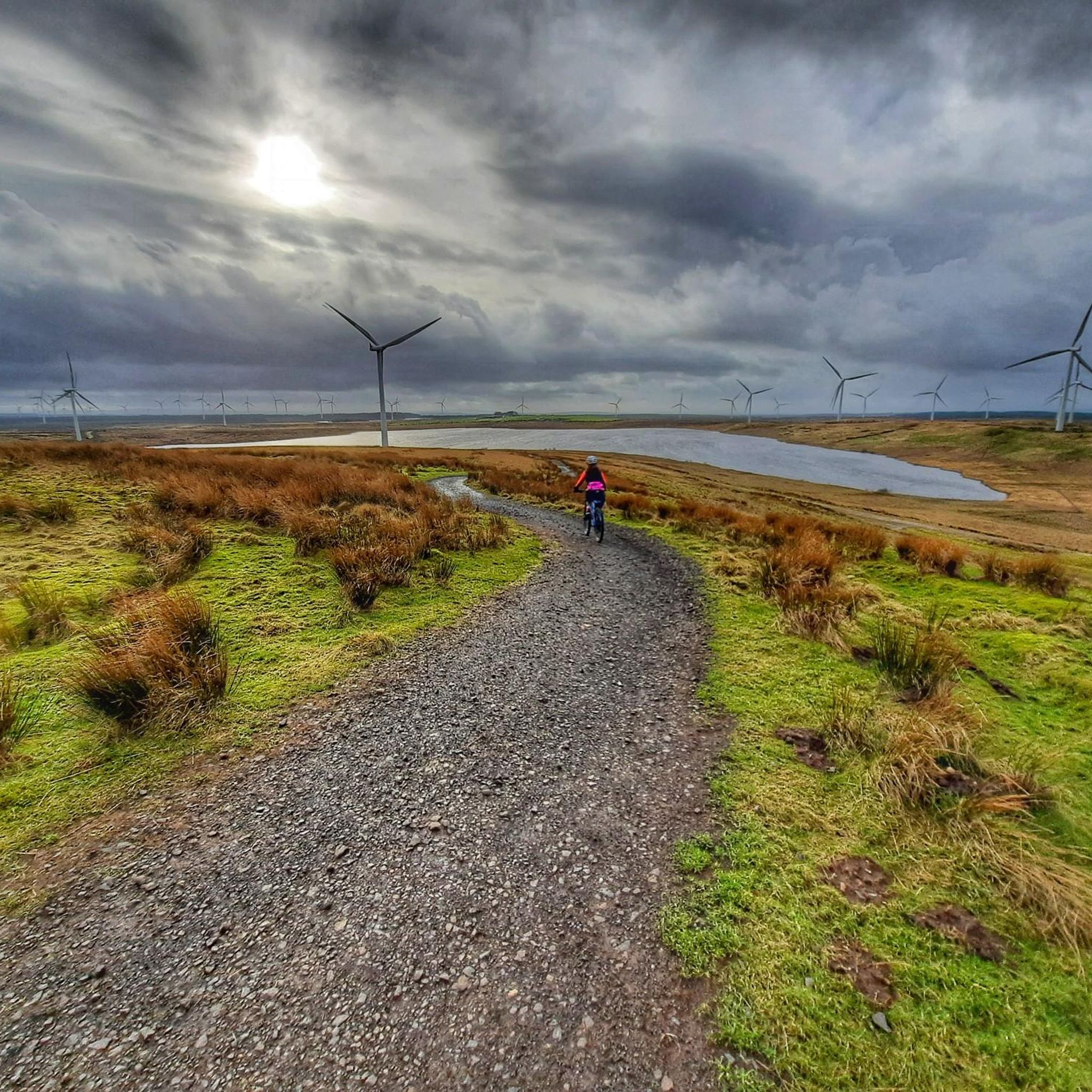
Whitelee - has a Brilliant selection of Gravel Cycling MTB 🚲. Living & 🚴🏽♂️🚴🏽♀️🚴 from Eaglesham it’s right on our back door ! . I have been utilising it’s many facilities for the last 3 to 4 Years. Nearly every week - Year round - So many options, hardly every 🚴 the exact same route twice !. TIP - One Wind Turbine looks like the rest - Pick up a Map !. Either at the Visitor Centre ( good 🥣🫖☕️🍰🥪👍) or at the Display Board @ Blde Display. Other options utilise the Ardochrig entrance/exit for EK/ Strathaven/ The Heron 🥣🍴☕️🫖🍰
0
0

P.S. The MTB trails up beside the Turbine 53. No great distance from Visitors Centre - Are a fun test of Bike skills - Expect Youngsters to be sharper at picking up the 🚲🚲skills + there are several shelters, Ideal for picnic ( Please -Just take your rubbish away
0
1
Based in Eaglesham This is really our 🚲 playground. Just so many options on great Gravel. Once you get beyond the fab LochGoin circuit - don’t expect to see (sometimes anyone ) many others . TIP ; Pick up a Windfarm map , available at either the Visitors Centre ( great Coffee ☕️, Soups, Eats and snacks & helpful staff) Similarly Kate, Fiona & Nick the Whitelee Rangers. If Centre/Rangers office closed there are maps at the Info board beside the Blade Display. Because believe me - even after Years of 🚲 around Whitelee - 1 turbine just looks the same as the Hundreds !. However they are all numbered and with the Map 👍. Hoping that 2025 there might be regular Cycle Meets - So watch this space 🤓.
0
0


Better in descent to exit windfarm as rough in parts and a bit of walking to get around Carrot Farm. Aim for junction between turbines 109 to 115 onto Myres Road (track), take the fork indicated by the marker at https://www.openstreetmap.org/?mlat=55.69654&mlon=-4.23493#map=17/55.69654/-4.23493 NB Open Street Map shows turbine numbers for Whitelees
0
0
Frequently Asked Questions
How many mountain bike trails are available around Jackton And Thorntonhall?
There are nearly 50 mountain bike trails available around Jackton And Thorntonhall, offering a diverse range of options for riders. The komoot community has explored over 45 routes in the area.
What kind of terrain can I expect on mountain bike trails in this region?
The terrain around Jackton And Thorntonhall is diverse, featuring elevated positions that offer expansive views over Glasgow, wooded areas, and open land with wind farms. You'll encounter hilly and undulating paths, with Jackton itself sitting at approximately 150 meters (490 ft) above sea level.
Are there mountain bike trails suitable for beginners or families?
Yes, there are trails suitable for various skill levels. While some routes require good fitness and advanced riding skills, there are 13 easy and 32 moderate trails available. For example, the Wind Farm Logging Track – View of Wind Turbines loop from Hairmyres is a moderate path generally suitable for various fitness levels.
Are there any challenging mountain bike routes for experienced riders?
Yes, experienced riders can find challenging routes. The Cathkin Braes Red and Blue Trails Loop is a difficult 20.7 km trail featuring challenging red and blue sections with significant elevation gain and expansive views over Glasgow.
What do other mountain bikers enjoy most about the trails in Jackton And Thorntonhall?
The area is highly rated by the komoot community, with an average score of 4.1 stars from over 30 reviews. Riders often praise the diverse terrain, the rewarding views over Glasgow, and the mix of wooded areas and open landscapes.
Are there any circular mountain bike routes in the area?
Many of the mountain bike trails in the region are circular. Examples include the Wind Farm Logging Track – View of Wind Turbines loop from Hairmyres (52.1 km) and the Highland Jig Trail – Cathkin Braes MTB Trails loop from Cambuslang (13.8 km).
Are there any natural features or landmarks to see along the mountain bike trails?
While riding, you can enjoy expansive views over Glasgow from elevated positions like Cathkin Braes. The area also features forests and open land with wind farms. For specific natural attractions nearby, consider visiting the Linn Park Waterfall or The Gnarled Tree.
Can I find trails that pass by wind farms?
Yes, several routes traverse areas with wind farms. The Gravel Road Through Forest – Gravel Path Through Wind Farm loop from Muirend is a 64.0 km moderate route that takes you through a forest and past wind turbines, offering unique scenery.
Are there any viewpoints offering scenic vistas?
Yes, the elevated positions in the region provide excellent viewpoints. Cathkin Braes, for instance, offers expansive views over Glasgow. You can also visit Queen Mary's Seat – View of Glasgow for another notable vista.
What are some other points of interest or attractions near the mountain biking areas?
Beyond the trails, the area is close to East Kilbride, offering amenities like shops and eateries. In Glasgow, you can explore cultural sites such as George Square or the Glasgow Necropolis.
Are there any long-distance mountain bike routes available?
Yes, there are options for longer rides. The Gravel Road Through Forest – Gravel Path Through Wind Farm loop from Muirend is a substantial 64.0 km route, and the Millhall Bridge – Shields Road loop from Auldhouse covers 26.1 km, both offering a good distance for an extended ride.
Most popular routes around Jackton And Thorntonhall
Most popular attractions around Jackton And Thorntonhall

Get inspired with the komoot mobile app


Explore more
Browse the best MTB trails in other regions.
