The best walks and hikes around Oxton And Channelkirk
4.6
(92)
602
hikers
35
hikes
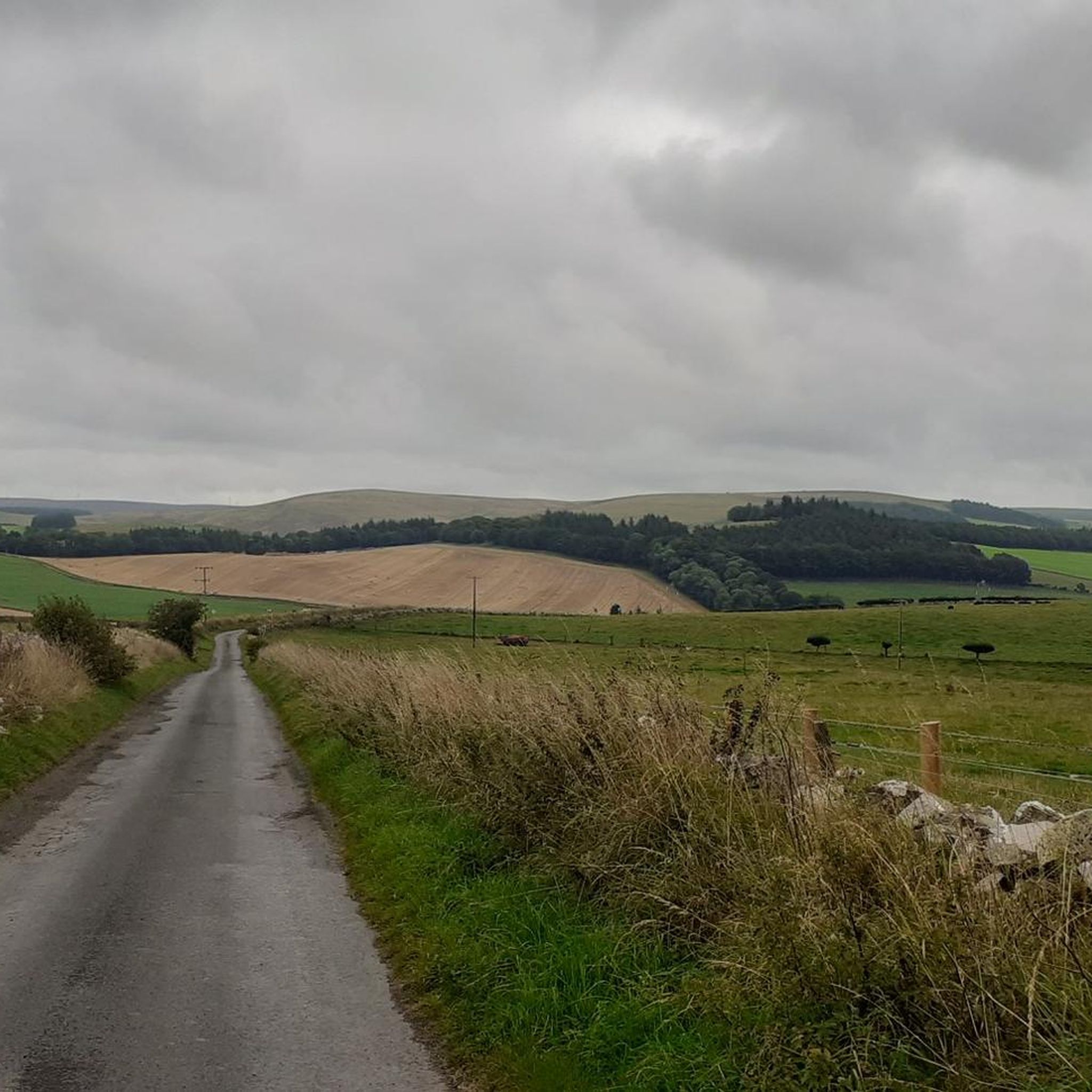
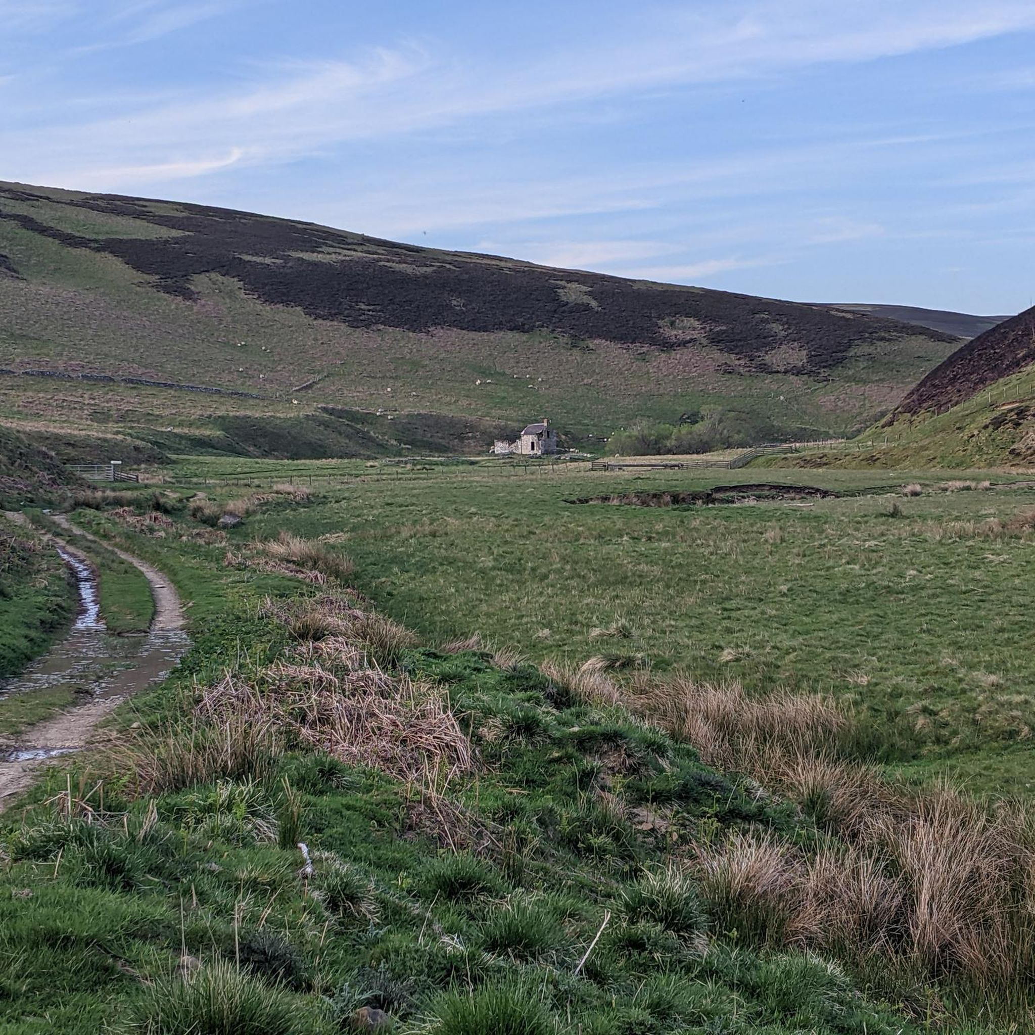
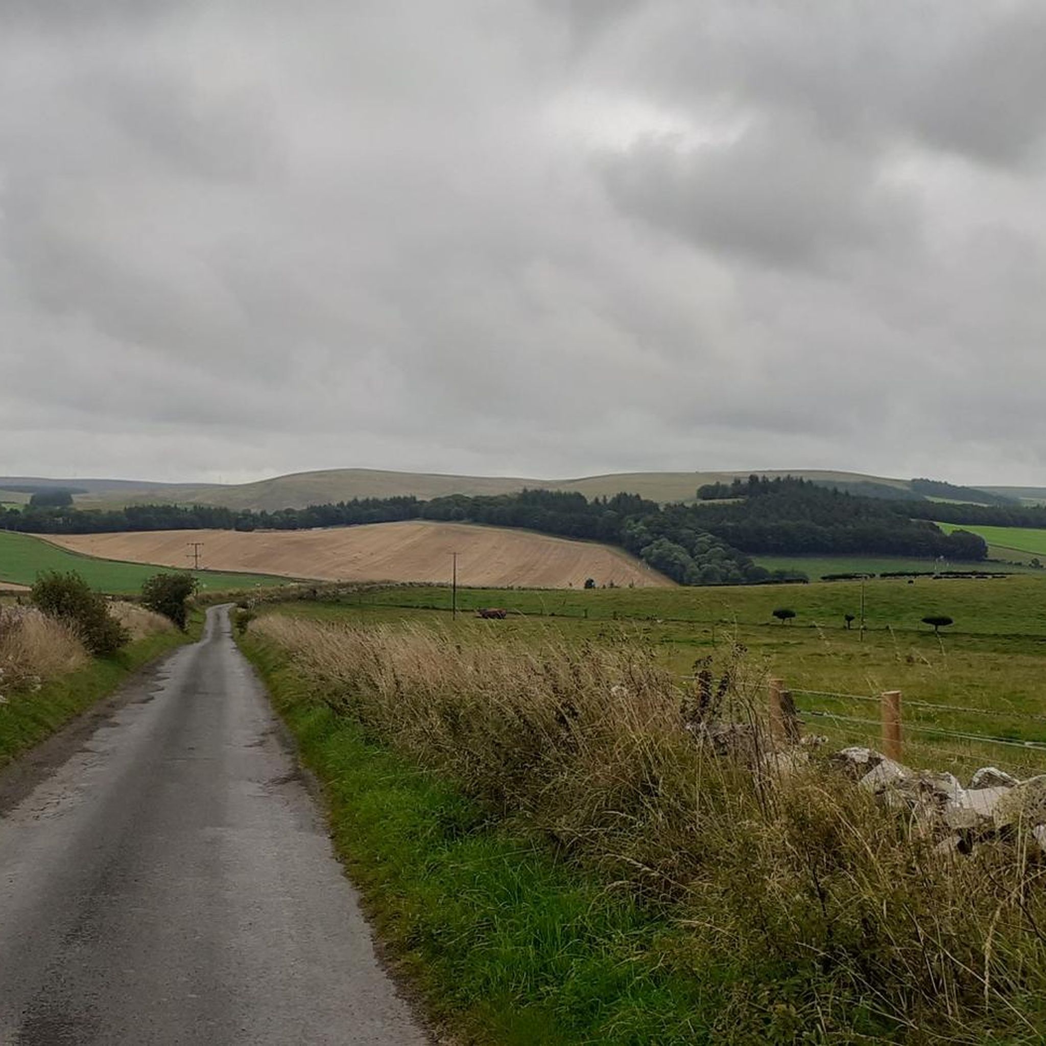
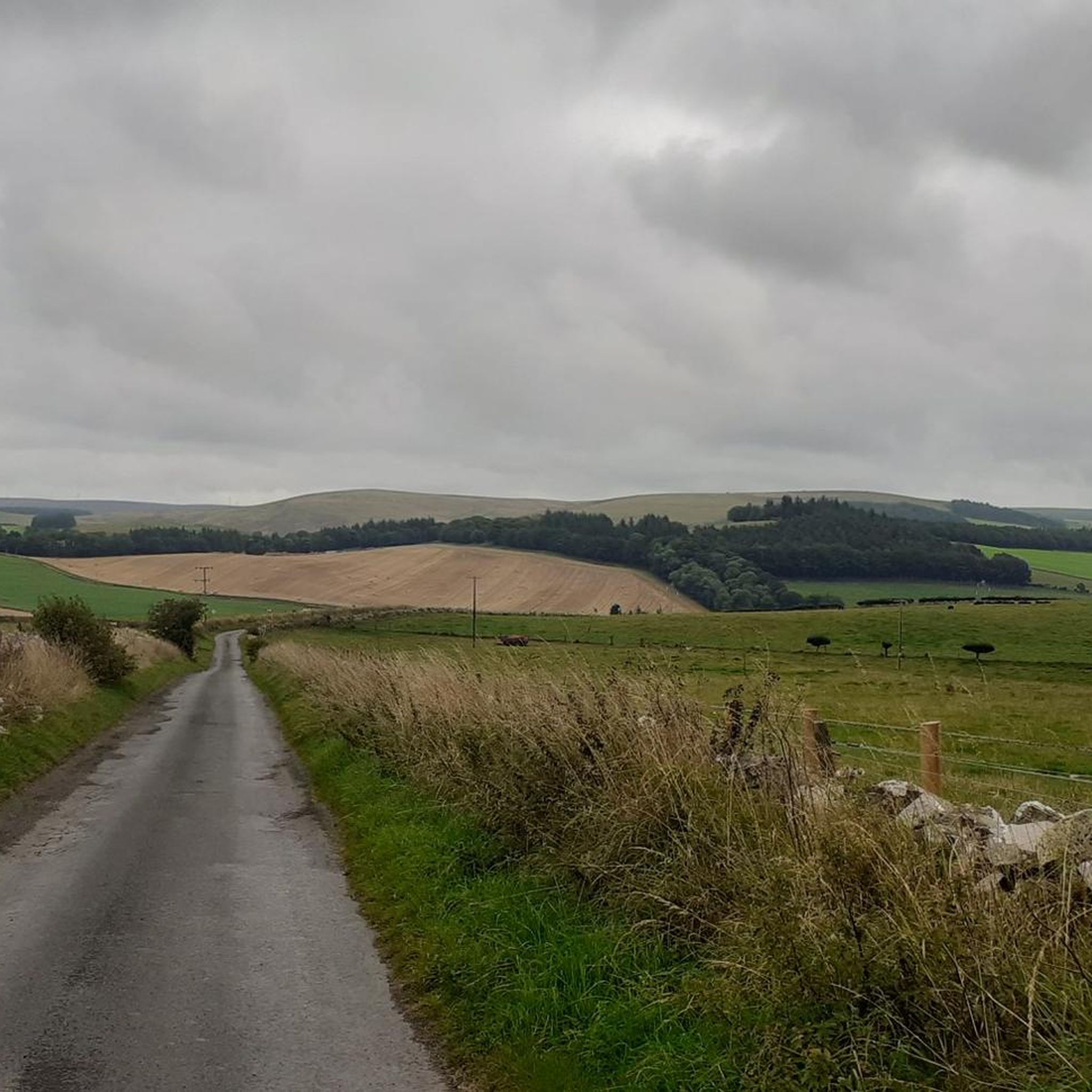
Hiking around Oxton And Channelkirk offers a network of trails through the Lammermuir Hills in the Scottish Borders. The landscape features rolling hills, open moorland, and scenic reservoirs, providing varied terrain for outdoor activities. Many routes incorporate local burns and offer views across the surrounding countryside.
Best hiking trails around Oxton And Channelkirk
- The most popular hiking route is Lammer Law and Hopes Reservoir loop from East Hopes — Lammermuir Hills, an 8.9 miles (14.3 km) trail that takes 4 hours 7 minutes to complete. This moderate route includes significant elevation gain and views of Hopes Reservoir.
- Another top favourite among local hikers is Chester Hill and Lauder Burn loop from Lauder — Roxburghshire, an easy 3.0 miles (4.8 km) path. This loop trail features gentle climbs around Chester Hill and follows the Lauder Burn.
- Local hikers also love the Thirlestane Castle & Dabshead Hill loop from Lauder, a 15.6 miles (25.1 km) trail leading through varied terrain including hills and near Thirlestane Castle, often completed in about 6 hours 59 minutes.
- Hiking around Oxton And Channelkirk is defined by rolling hills, open moorland, and reservoir views. The network offers options for different ability levels, from easy family friendly walks to more challenging routes.
- The routes in Oxton And Channelkirk are highly rated by the komoot community with an average score of 4.6 stars from over 70 reviews. More than 500 hikers have used komoot to explore Oxton And Channelkirk's varied terrain.
Last updated: August 4, 2026
4.9
(8)
56
hikers
14.3km
04:07
340m
340m
Moderate hike. Good fitness required. Easily-accessible paths. Suitable for all skill levels.
5.0
(2)
18
hikers
4.79km
01:20
90m
90m
Easy hike. Great for any fitness level. Easily-accessible paths. Suitable for all skill levels.

Sign up for free
2
hikers
25.1km
06:59
470m
470m
Hike a difficult 15.6-mile loop from Lauder, exploring Thirlestane Castle and climbing Dabshead Hill for panoramic views in the Lammermuir H
4.0
(1)
33
hikers
6.06km
01:56
260m
260m
Easy hike. Great for any fitness level. Easily-accessible paths. Suitable for all skill levels.
5.0
(2)
7
hikers
6.04km
01:39
100m
100m
Easy hike. Great for any fitness level. Easily-accessible paths. Suitable for all skill levels.
Get access to more routes and recommendations from other explorers.
Sign up for free
Already have an account?
Our route recommendations are based on thousands of hikes, rides, and runs completed by other people on komoot.
Start today with a free account
Your next adventure awaits.
Login or Signup

Tips from the Community

ford crossing, it was pretty shallow after pretty rainy January week, and it can be crossed on a bike (including ebike - without risking the motor)
0
0

Chester Hill, just outside the town of Lauder, is on the Souther Upland Way long-distance trail. There is a cairn on top (cairns are always good to rest your backpack against), and the spot offer wonderful views over Lauderdale.
1
0
A very distinctive Old Red Sandstone path (indicating the geology of this area) leads down here to the picturesque bridge over Lauder Burn. Great views of Woodheads Hill from here, too.
2
0

Lammer Law stands at 529m with a huge stony cairn and a separate trig point. The views are stunning across the Lammermuir Hills and northwest towards Edinburgh and the coast. This is a remote summit requiring a fairly long run to visit from any direction but the views and remoteness always make it feel worth the effort.
0
0
Hopes Reservoir sits remotely in the Lammermuir Hills. The edges are tree lined and the dam to the east. The tracks to the south are wide off road vehicle access roads so the running is easy and you have plenty of time to look at the views. The reservoir was built in the 1930's to provide water to the surrounding area.
0
0
The Black Bull is a great hotel with a nice restaurant open to the public. They showcase the best of the local Scottish produce in there funky dining room. Can be busy so it's worth booking ahead if you can.
0
0
Dabshead Hill stands at 383m in the southern Lammermuir Hills above Lauder. The summit has a trig point, the remains of an Iron Age hill fort and a standing stone which was erected in the 19th century.
0
0
Hopes Reservoir sits remotely in the Lammermuir Hills. The edges are tree lined and the dam to the east. The tracks to the south are wide off road vehicle access roads so the walking is easy and you have plenty of time to look at the views. The reservoir was built in the 1930's to provide water to the surrounding area.
2
0
Frequently Asked Questions
How many hiking trails are available in Oxton And Channelkirk?
There are over 35 hiking routes in Oxton And Channelkirk, offering a variety of options for different skill levels. This includes 17 easy routes, 18 moderate, and 1 difficult trail.
Are there easy hiking trails suitable for beginners or families?
Yes, Oxton And Channelkirk offers 17 easy hiking routes perfect for beginners or families. An example is the Chester Hill and Lauder Burn loop from Lauder, which is a gentle 3.0 miles (4.8 km) path featuring mild climbs and following the Lauder Burn.
Are dogs allowed on the hiking trails in Oxton And Channelkirk?
Most trails in the Scottish Borders are dog-friendly, but it's always recommended to keep dogs on a lead, especially when passing through farmland with livestock or during ground-nesting bird seasons. Please respect local signage.
Are there any circular hiking routes in the area?
Yes, many of the trails in Oxton And Channelkirk are circular, allowing you to start and end at the same point. A popular option is the Lammer Law and Hopes Reservoir loop from East Hopes, an 8.9-mile (14.3 km) moderate route with scenic views.
What kind of scenery can I expect on the hikes?
Hiking around Oxton And Channelkirk takes you through the beautiful Lammermuir Hills, characterized by rolling hills, open moorland, and scenic reservoirs. You'll often find routes incorporating local burns and offering expansive views across the surrounding countryside.
When is the best time of year to go hiking in Oxton And Channelkirk?
The spring and summer months (April to September) generally offer the most pleasant weather for hiking, with longer daylight hours and milder temperatures. Autumn brings beautiful colours to the landscape, though weather can be more unpredictable. Winter hiking is possible but requires appropriate gear for potentially cold, wet, or icy conditions.
Are there any interesting landmarks or attractions to see along the trails?
Yes, the region offers several points of interest. You might encounter historical sites like Soutra Aisle and Medieval Hospital Site, or enjoy panoramic views from Crib Law Summit. Some routes, like the Thirlestane Castle & Dabshead Hill loop, pass near historic castles.
Is parking available at the trailheads?
While specific parking details vary by trailhead, many popular starting points for hikes in the Oxton And Channelkirk area, especially near villages or key attractions, offer designated parking areas. It's advisable to check route descriptions for specific parking information.
Can I access hiking trails using public transport?
Public transport options in the rural Lammermuir Hills and Scottish Borders can be limited. While some villages like Lauder may have bus services, direct access to more remote trailheads might require a car. Planning your route in advance and checking local bus schedules is recommended.
What do other hikers enjoy most about hiking in Oxton And Channelkirk?
The area is highly rated by the komoot community, with an average score of 4.6 stars from over 70 reviews. Hikers often praise the peaceful atmosphere, the diverse landscapes ranging from rolling hills to open moorland, and the rewarding views, particularly around Hopes Reservoir.
Are there any shorter, easy loops for a quick walk?
Absolutely. For a quicker, easier walk, consider the Lammer Law summit loop from Gala Law, which is about 3.8 miles (6.0 km) and offers a pleasant experience without significant challenge.
Are there any trails that go near water or reservoirs?
Yes, several trails feature water elements. The Hopes Reservoir – Ford Crossing loop from Knock Hill is an easy 3.7-mile (6.0 km) route that takes you directly around Hopes Reservoir, offering lovely waterside views.
Most popular attractions around Oxton And Channelkirk

Get inspired with the komoot mobile app


Explore more
Browse the best Hikes in other regions.
