The best running trails around Luncarty, Redgorton, And Moneydie
4.8
(17)
3,287
runners
220
runs
Jogging routes around Luncarty, Redgorton, And Moneydie offer a diverse range of running experiences through scenic landscapes. The area is characterized by riverside paths along the River Tay and River Almond, providing smooth, paved surfaces ideal for uninterrupted running. Additionally, routes incorporate features like North Inch Park for loops and Bertha Loch for varied terrain, including accessible paths and dirt tracks. The region's network of Core Paths and surrounding woodlands contribute to a peaceful atmosphere and opportunities for exploring open…
Last updated: May 11, 2026
211
runners
7.50km
00:46
10m
10m
Moderate run. Good fitness required. Mostly paved surfaces. Suitable for all skill levels.
50
runners
8.84km
00:58
40m
40m
Moderate run. Good fitness required. Mostly paved surfaces. Suitable for all skill levels.

Sign up for free
47
runners
14.9km
01:37
80m
80m
Moderate run. Good fitness required. Mostly accessible paths. Some sure footedness required.
25
runners
17.1km
01:46
60m
60m
Hard run. Very good fitness required. Mostly paved surfaces. Suitable for all skill levels.
23
runners
5.71km
00:35
10m
10m
Moderate run. Good fitness required. Mostly paved surfaces. Suitable for all skill levels.
Get access to more routes and recommendations from other explorers.
Sign up for free
Already have an account?
Our route recommendations are based on thousands of hikes, rides, and runs completed by other people on komoot.
Start today with a free account
Your next adventure awaits.
Login or Signup
Popular around Luncarty, Redgorton, And Moneydie
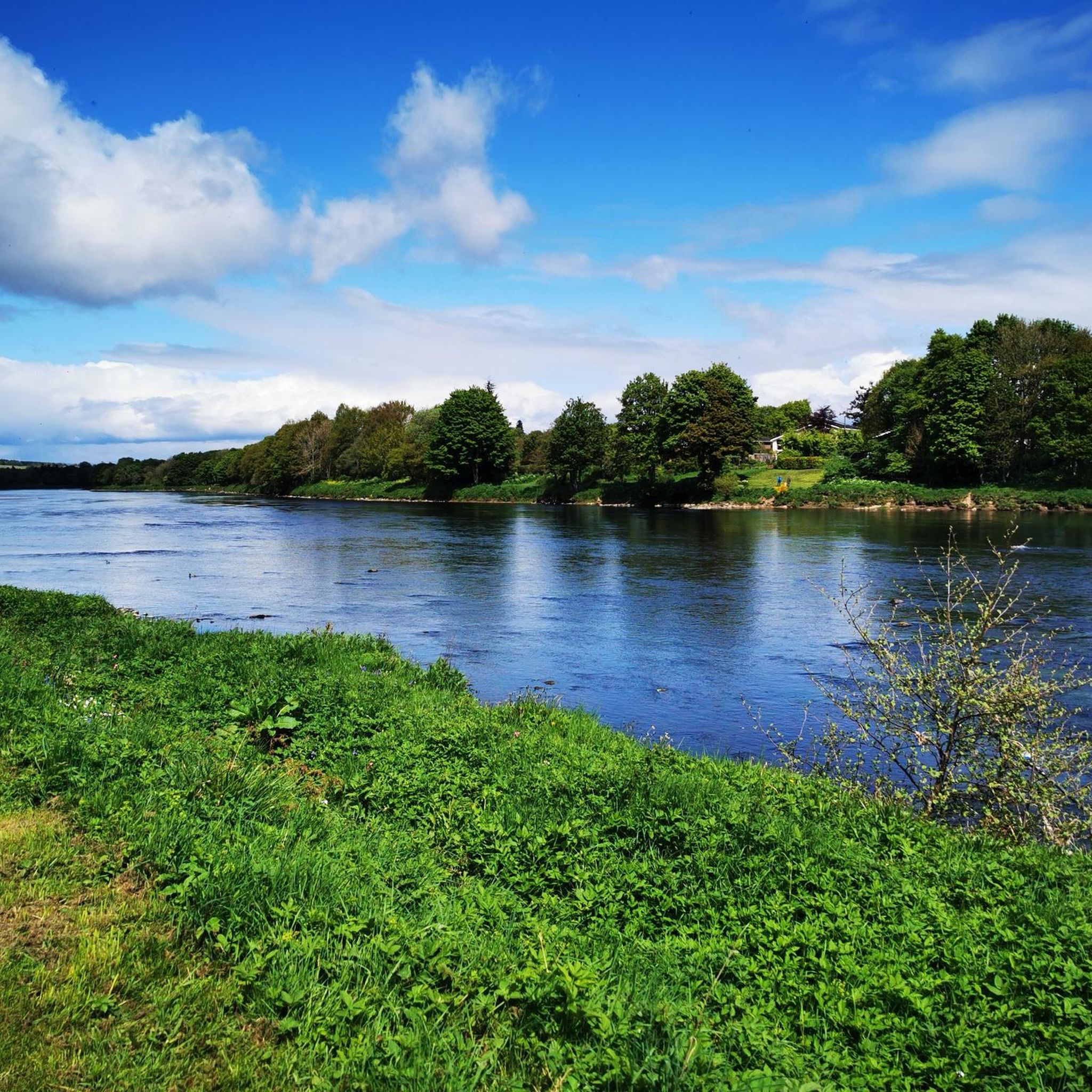
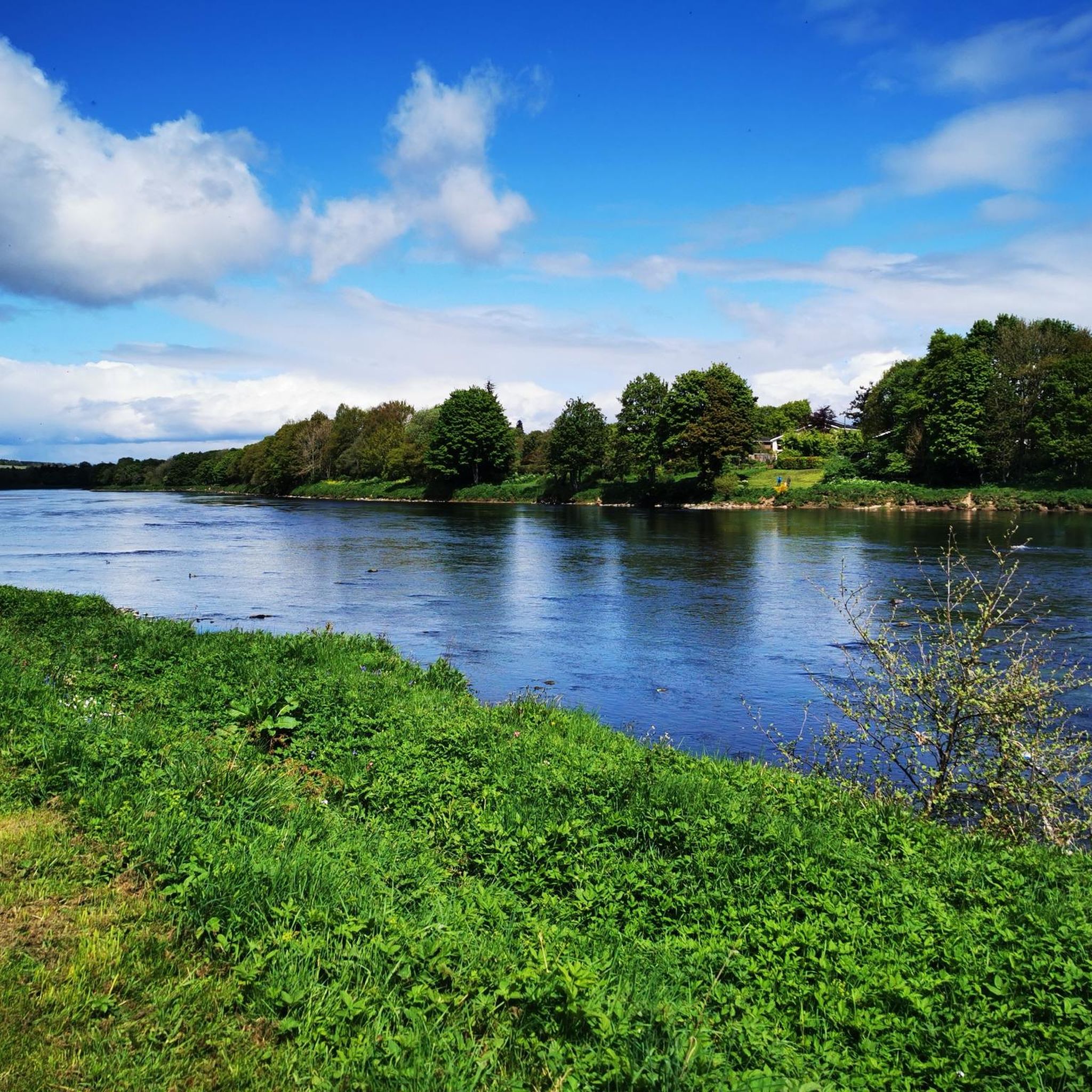
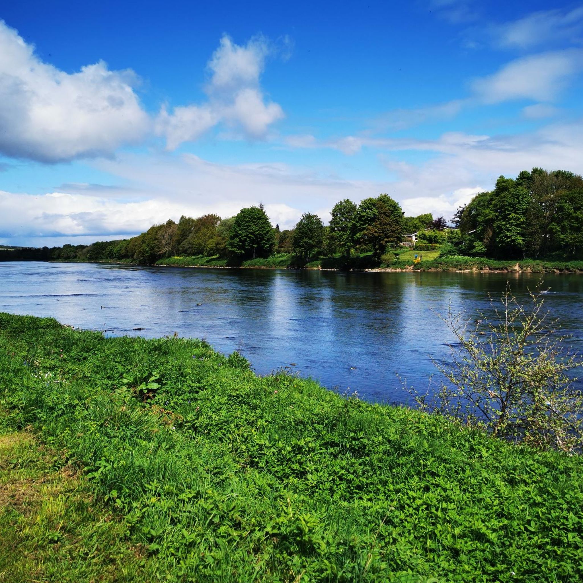
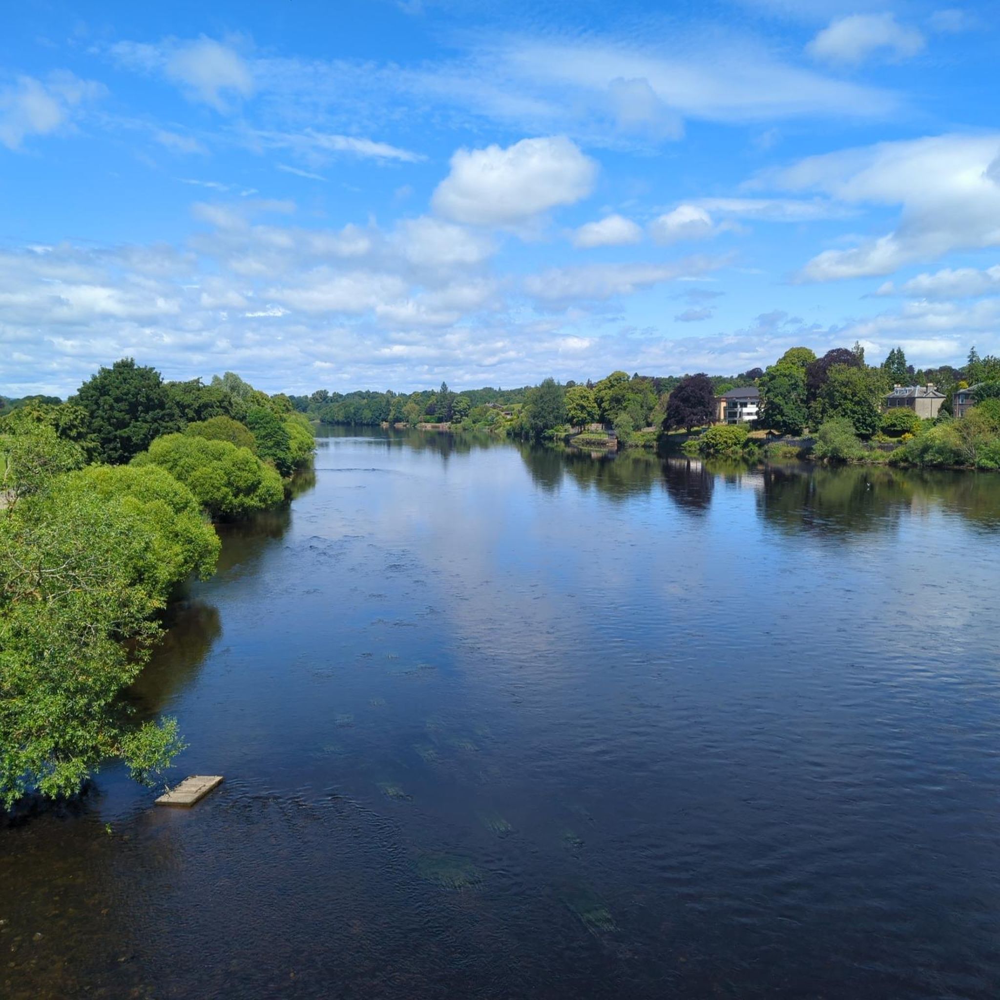
Tips from the Community

a great cafe with lots of space inside and out. quirky, welcoming, and lovely coffee ☕️
0
0


An excellent wide smooth path leading into and out of Perth from the north. Beware that this is a shared-use path, for cyclists it's NCN 77.
1
0
A very nice shared-use asphalt path runs alongside the river as it enters Perth.
0
0
It's a nice ride beside the river along a wide shared-use asphalt path. Watch out for the vehicle barriers and other paths joining.
0
0
For Trail MTB explorers on an adventure. A quiet loch tucked away just north of busy Perth. There's a good dirt access track leading from the south and the Bertha Park housing estate. The single-tracks around most of the loch comprise narrow dirt paths that are sometimes ill-defined. After wet weather, there's ample mud and slippery tree roots on the paths to enhance the riding experience. On the eastside path nearest the loch, watch out for the deep concrete water overflow channel that cuts the path - it's a major gotcha.
0
0

Home of the Perth parkrun (every Sat at 9:30) this is a good area for a run when staying in Perth. The North Inch (Inch means meadow) is an area of about 54 hectares to the west of the River Tay. It's a managed park of playing fields, riverside paths and a golf course. The site was the scene of a major inter-clan battle in 1396.
0
0
The North Inch (Inch means meadow) is an area of about 54 hectares to the west of the River Tay. It's a managed park of playing fields, riverside paths and a golf course. The site was the scene of a major inter-clan battle in 1396.
1
0
Frequently Asked Questions
How many running routes are available in the Luncarty, Redgorton, and Moneydie area?
The region offers a wide selection of over 220 running routes, catering to various preferences and fitness levels. You'll find everything from easy paths to more challenging trails.
What types of terrain can I expect on the jogging trails around Luncarty, Redgorton, and Moneydie?
You'll find a diverse range of terrain, from smooth, paved paths alongside the River Tay and River Almond, ideal for uninterrupted running, to more varied surfaces around Bertha Loch which include accessible paths and dirt tracks. The area also features woodland paths and routes through farmland.
Are there any easy or beginner-friendly jogging routes in Luncarty, Redgorton, and Moneydie?
Yes, there are 26 easy running routes available. Many of these utilize the well-maintained Core Paths or the smooth riverside sections, offering a gentle introduction to jogging in the area. For example, the routes within North Inch Park provide excellent paved surfaces for easy loops.
Can I find longer distance running trails in this region?
Absolutely. For those looking for a longer run, consider routes like the View of the River Almond – The North Inch Park loop from Luncarty, which covers over 17 km. Many routes can also be combined or extended along the extensive riverside paths.
Are there any circular jogging routes available?
Yes, many of the routes in the area are circular, allowing you to start and finish at the same point. For instance, the Banks of the River Almond – Bertha Loch loop from SSE Plc offers a moderate 14.9 km circular path that takes you around Bertha Loch.
What natural features or landmarks can I see while jogging in Luncarty, Redgorton, and Moneydie?
The region is rich in natural beauty. You can enjoy scenic riverside views along the River Tay and River Almond, explore the tranquil Bertha Loch, or venture into Luncarty Woods. Nearby attractions include the stunning Black Linn Falls at The Hermitage and various viewpoints like King's Seat, Birnam Hill.
Are the jogging routes in Luncarty, Redgorton, and Moneydie suitable for families?
Yes, many routes are suitable for families, especially those on the smoother, paved sections like the National Cycle Route 77 along the River Tay or within North Inch Park. These offer accessible and safe environments for a family run or walk.
Are the running trails in this area dog-friendly?
Generally, the Core Paths and many riverside trails are dog-friendly, but it's always recommended to keep dogs on a lead, especially near livestock or in nature conservation areas. Some routes may have stiles or other obstacles that could be challenging for larger dogs.
What do other runners enjoy most about jogging in Luncarty, Redgorton, and Moneydie?
The area is highly rated by the komoot community, with an average score of 4.8 stars from more than 10 reviews. Runners often praise the diverse landscapes, the peaceful atmosphere, and the well-maintained paths along the rivers and through woodlands, which offer stunning views.
Is public transport available to access the jogging routes?
While specific route access by public transport varies, Luncarty, Redgorton, and Moneydie are generally accessible. Perth, a larger town nearby, serves as a transport hub, and local bus services connect to surrounding villages. It's advisable to check local bus schedules for specific starting points.
Are there designated parking areas for accessing the running trails?
Yes, many popular starting points for trails, especially around North Inch Park and other key access points to the riverside paths, offer parking facilities. It's always good practice to check specific route details for recommended parking locations.
What is the best time of year to go jogging in Luncarty, Redgorton, and Moneydie?
The region offers enjoyable running conditions throughout much of the year. Spring and autumn provide pleasant temperatures and beautiful scenery with changing foliage. Summer is great for longer daylight hours, while winter can offer crisp, clear runs, though some dirt tracks around Bertha Loch may become muddy and slippery after wet weather.
Most popular routes around Luncarty, Redgorton, And Moneydie
Most popular attractions around Luncarty, Redgorton, And Moneydie

Get inspired with the komoot mobile app


Explore more
Browse the best Running Trails & Routes in other regions.
