The best walks and hikes around Killiecrankie, Fincastle And Tummel
4.5
(2205)
15,304
hikers
26
hikes
Hiking around Killiecrankie, Fincastle And Tummel offers a diverse landscape characterized by dramatic gorges, serene lochs, and extensive forests. The region features the spectacular Pass of Killiecrankie, carved by the River Garry, and picturesque bodies of water like Loch Tummel and Loch Faskally. Prominent peaks such as Ben Vrackie and Schiehallion provide higher elevations and panoramic views. This area in Perth and Kinross, Scotland, provides varied terrain for outdoor activities.
Best hiking trails around Killiecrankie, Fincastle And Tummel
- The most…
Last updated: August 3, 2026
4.5
(38)
597
hikers
22.3km
07:41
1,110m
1,110m
Hard hike. Very good fitness required. Easily-accessible paths. Suitable for all skill levels.
4.5
(71)
388
hikers
5.90km
01:42
150m
140m
Hike the moderate 3.7-mile Ring Fort Trail in Tay Forest Park, featuring historical sites like a Pictish fort and views over Loch Tummel.

Sign up for free
4.7
(31)
115
hikers
5.21km
01:30
130m
130m
Easy hike. Great for any fitness level. Easily-accessible paths. Suitable for all skill levels.
3.9
(31)
103
hikers
9.43km
02:44
260m
250m
Moderate hike. Good fitness required. Easily-accessible paths. Suitable for all skill levels.
4.6
(15)
73
hikers
15.0km
04:37
550m
550m
Moderate hike. Good fitness required. Easily-accessible paths. Suitable for all skill levels.
Get access to more routes and recommendations from other explorers.
Sign up for free
Already have an account?
Our route recommendations are based on thousands of hikes, rides, and runs completed by other people on komoot.
Start today with a free account
Your next adventure awaits.
Login or Signup
Popular around Killiecrankie, Fincastle And Tummel
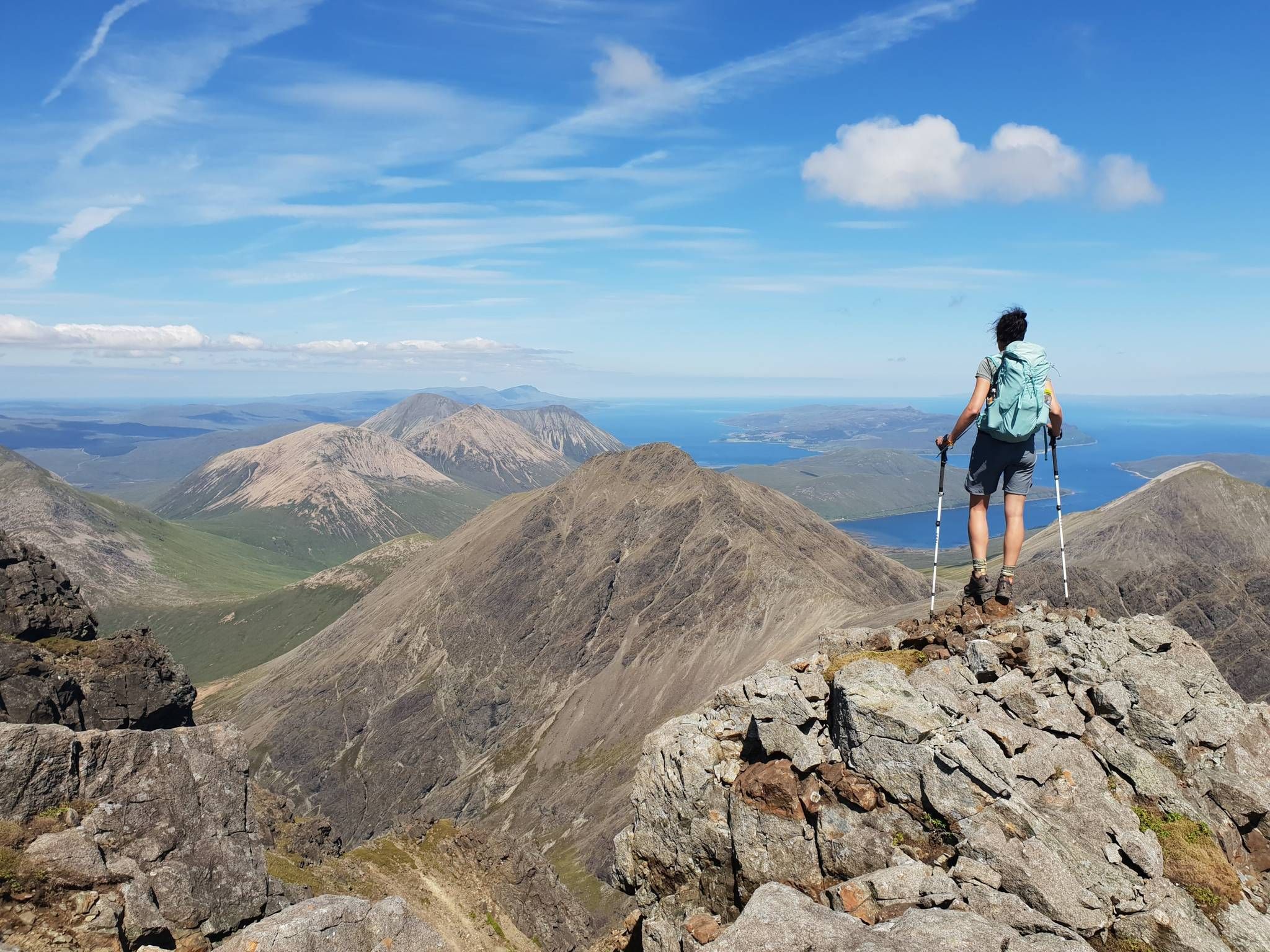
Hiking the 282 munro mountains of Scotland in 95 routes
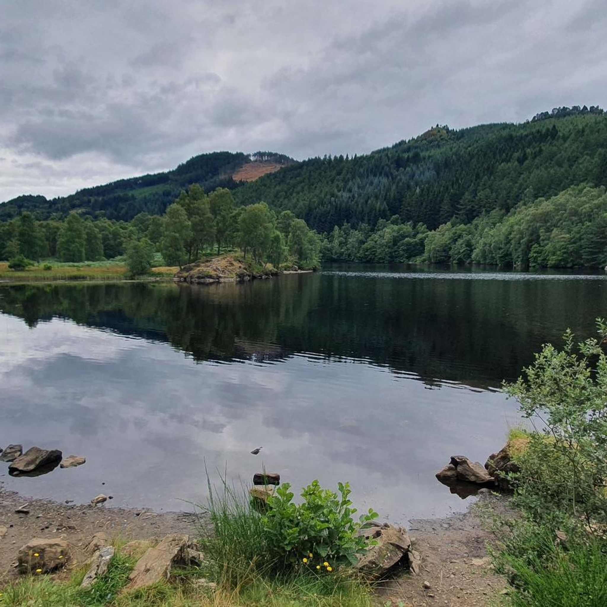
MTB Trails around Killiecrankie, Fincastle And Tummel
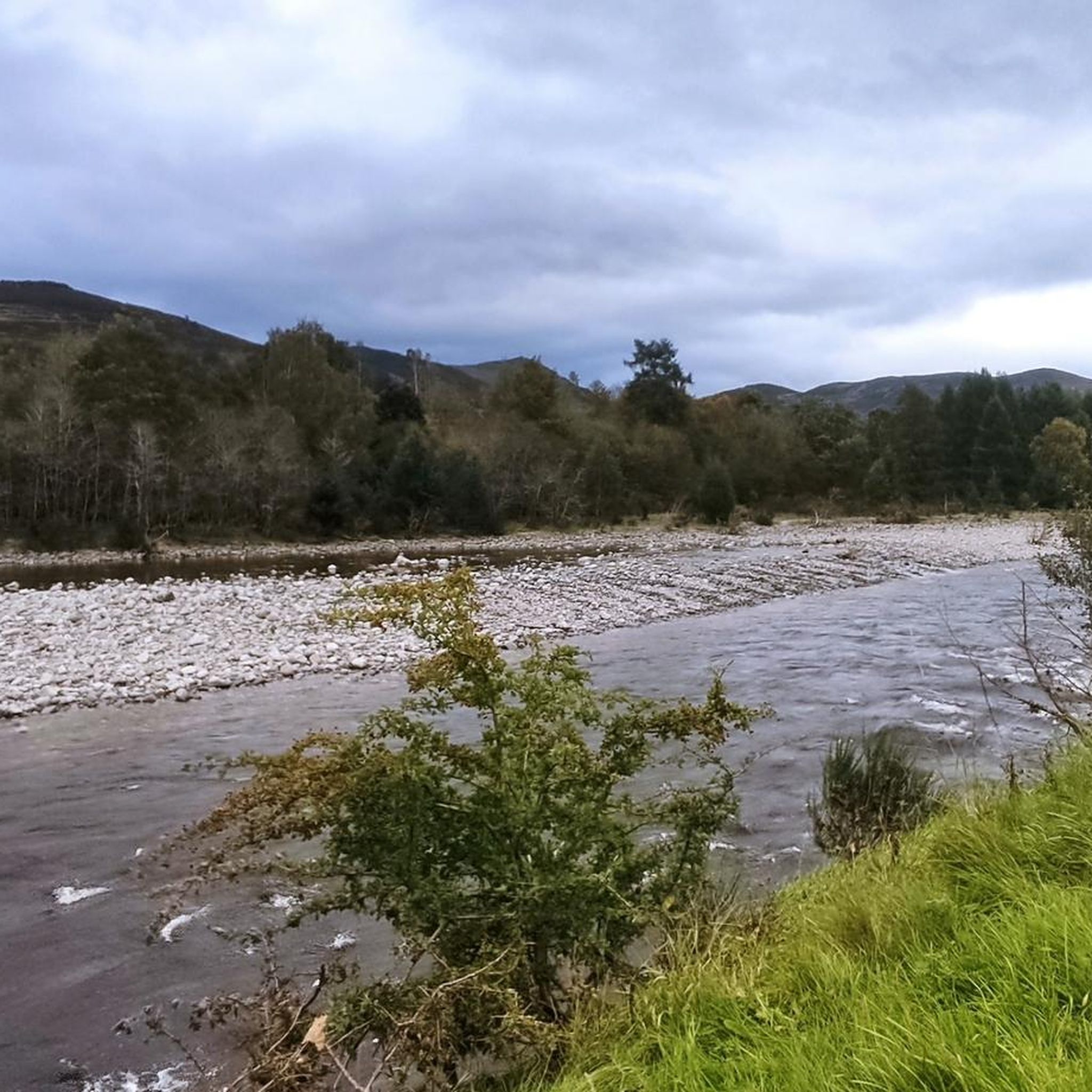
Running Trails around Killiecrankie, Fincastle And Tummel
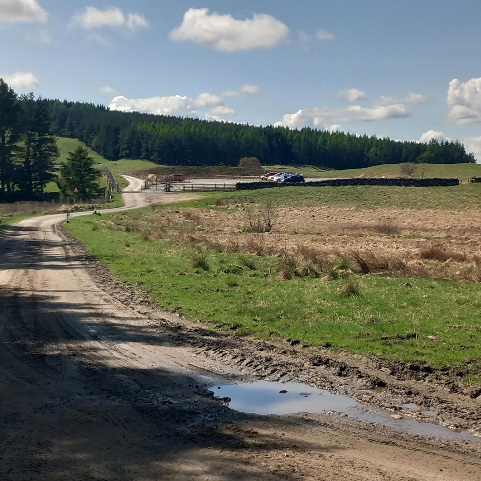
Road Cycling Routes around Killiecrankie, Fincastle And Tummel
Cycling around Killiecrankie, Fincastle And Tummel

Gravel biking around Killiecrankie, Fincastle And Tummel
Other adventures around Killiecrankie, Fincastle And Tummel

Tips from the Community

It is easy to miss the true summit in foggy conditions. If approaching from the south-west (which many people on the 3 munro round of Beinn a' Ghlò are likely to do), you will encounter a large cairn, then the trig point and finally the summit. The name means hill of the goats. I never saw any goats unfortunately.
0
0


Big rounded hill, a wide ridge, with extensive views over Glen Tilt.
0
0
Big rounded hill with extensive views to the pass of Killiecrankie.
0
0

Carn Liath is a 975m Munro mountain in the Scottish Highlands. It sits to the east of Glen Tilt. We parked at https://www.ny-ezpass.com
0
0

Very scenic drive there makes it all worth it. Good view, likely very busy during the season.
0
0

There is not much to see here, and overgrowth makes viewing any cascade or torrent harder. The Leap is easy enough to find following the signs from the visitor centre above. There is a steep path down to here.
0
0
Frequently Asked Questions
How many hiking trails are available in Killiecrankie, Fincastle, and Tummel?
There are over 25 hiking trails in the Killiecrankie, Fincastle, and Tummel region, offering a variety of experiences from easy riverside strolls to more challenging mountain ascents. The komoot community has explored these routes over 9,000 times.
What kind of terrain can I expect on hikes in this area?
The terrain varies significantly, from ancient woodlands and dramatic gorges along the River Garry to serene loch shores around Loch Tummel and Loch Faskally. You'll also find trails leading through extensive forests and up prominent peaks like Ben Vrackie and Schiehallion, offering diverse landscapes and elevations.
Are there any family-friendly hiking options in Killiecrankie, Fincastle, and Tummel?
Yes, the region offers several family-friendly trails. For instance, the Killiecrankie Soldier's Leap & River Garry loop is an easy walk that explores a historic spot. Many woodland walks around the Queen's View Visitor Centre are also suitable for all abilities.
Can I bring my dog on the hiking trails?
Many trails in the Killiecrankie, Fincastle, and Tummel area are dog-friendly, especially those through woodlands and along loch shores. It's always recommended to keep dogs on a lead, particularly near livestock or wildlife, and to follow the Scottish Outdoor Access Code.
Are there any circular walks or loop trails available?
Yes, the area features several excellent circular routes. The Ring Fort Trail in Tay Forest Park is a moderate loop offering views of Loch Tummel, and the Allean Forest loop from Queen's View provides a scenic woodland experience.
What historical landmarks or natural attractions can I see while hiking?
You can explore several notable sites. The historic Soldier's Leap in the Pass of Killiecrankie is a must-see. For stunning views, visit the Queen's View overlooking Loch Tummel. You might also encounter the impressive Black Spout Waterfall or ascend to the Ben Vrackie summit for panoramic vistas.
What is the best time of year to hike in Killiecrankie, Fincastle, and Tummel?
While beautiful year-round, the autumn months are particularly spectacular due to the vibrant display of gold, burgundy, and russet foliage, especially in the Pass of Killiecrankie. Spring and summer offer lush greenery and longer daylight hours, ideal for exploring.
Are there opportunities to see wildlife on the trails?
Yes, the ancient woodlands and diverse habitats are home to a variety of wildlife. Hikers often spot red squirrels, otters, roe deer, and a wide array of bird species and butterflies, particularly along the River Garry and within the extensive forests.
What do other hikers enjoy most about the trails in this region?
The area is highly rated by the komoot community, with an average score of 4.6 stars from over 1,200 reviews. Hikers frequently praise the dramatic scenery of the gorges, the tranquility of the lochs, and the well-maintained woodland paths that offer a refreshing escape into nature.
Is there public transport access to the hiking areas?
Pitlochry, a nearby town, serves as a hub with public transport connections. From there, local bus services or taxis can provide access to various trailheads, including those around Killiecrankie and Loch Tummel. Planning ahead is advisable for specific routes.
Where can I find parking for hikes in Killiecrankie?
Parking is available at key locations such as the Killiecrankie Visitor Centre, which serves as a starting point for walks into the Pass of Killiecrankie. There are also parking facilities near the Queen's View Visitor Centre for access to trails around Loch Tummel and Allean Forest.
Are there any cafes or pubs near the hiking trails?
Yes, you'll find amenities in nearby villages and towns. Pitlochry offers a good selection of cafes, pubs, and restaurants. The Killiecrankie Visitor Centre also provides facilities, and the Queen's View Visitor Centre has a cafe, perfect for refreshments before or after your hike.
Most popular routes around Killiecrankie, Fincastle And Tummel
Most popular attractions around Killiecrankie, Fincastle And Tummel

Get inspired with the komoot mobile app


Explore more
Browse the best Hikes in other regions.
