The best walks and hikes around Thorniewood
4.3
(276)
4,588
hikers
172
hikes
Hiking around Thorniewood offers access to diverse landscapes within the Glasgow City and Lanarkshire region. The area features numerous woodlands, country parks, and accessible river and canal paths. Hikers can explore green spaces, including routes along the River Clyde and the Forth and Clyde Canal. The terrain generally consists of rolling hills and tranquil forests, providing varied outdoor experiences.
Best hiking trails around Thorniewood
- The most popular hiking route is A loop of Strathclyde Loch & Country Park, a…
Last updated: July 22, 2026
4.8
(43)
766
hikers
6.51km
01:40
30m
30m
Enjoy an easy 4.0-mile (6.5 km) hike around Strathclyde Loch, featuring flat paths, waterside views, and historical ruins.
5.0
(3)
80
hikers
9.53km
02:25
20m
20m
Moderate hike. Good fitness required. Easily-accessible paths. Suitable for all skill levels.

Sign up for free
5.0
(3)
25
hikers
26.0km
06:53
250m
250m
Hard hike. Very good fitness required. Easily-accessible paths. Suitable for all skill levels.
4.0
(1)
14
hikers
5.04km
01:20
40m
40m
Easy hike. Great for any fitness level. Easily-accessible paths. Suitable for all skill levels.
3.0
(1)
5
hikers
12.1km
03:17
130m
130m
Moderate hike. Good fitness required. Easily-accessible paths. Suitable for all skill levels.
Get access to more routes and recommendations from other explorers.
Sign up for free
Already have an account?
Our route recommendations are based on thousands of hikes, rides, and runs completed by other people on komoot.
Start today with a free account
Your next adventure awaits.
Login or Signup

Tips from the Community

Nice leisurely walk for all ages. Some steps near the 'Green Bridge' and can be a bit mucky in winter but very much worth your time
0
0

“Strathclyde Loch is more than just water: beneath its surface, Bothwellhaugh, a mining village swept away in the 1970s, vanished. Today, only a cairn remains as a reminder of the houses, schools, and shops. There's also a Roman fort and an ancient road (yes, Watling Street is still here). Final warning: In 2012, a norovirus outbreak left 57 swimmers unconscious. Water caution.
0
0

Great walk, white bridge currently closed
0
0

Certain times of the year there are posts to tell you to keep dogs out water because of the algae
0
0

Strathclyde Loch is set within Strathclyde Country Park, an internationally renowned Watersports area. A 4-mile (6km) trail loops the loch.
0
0


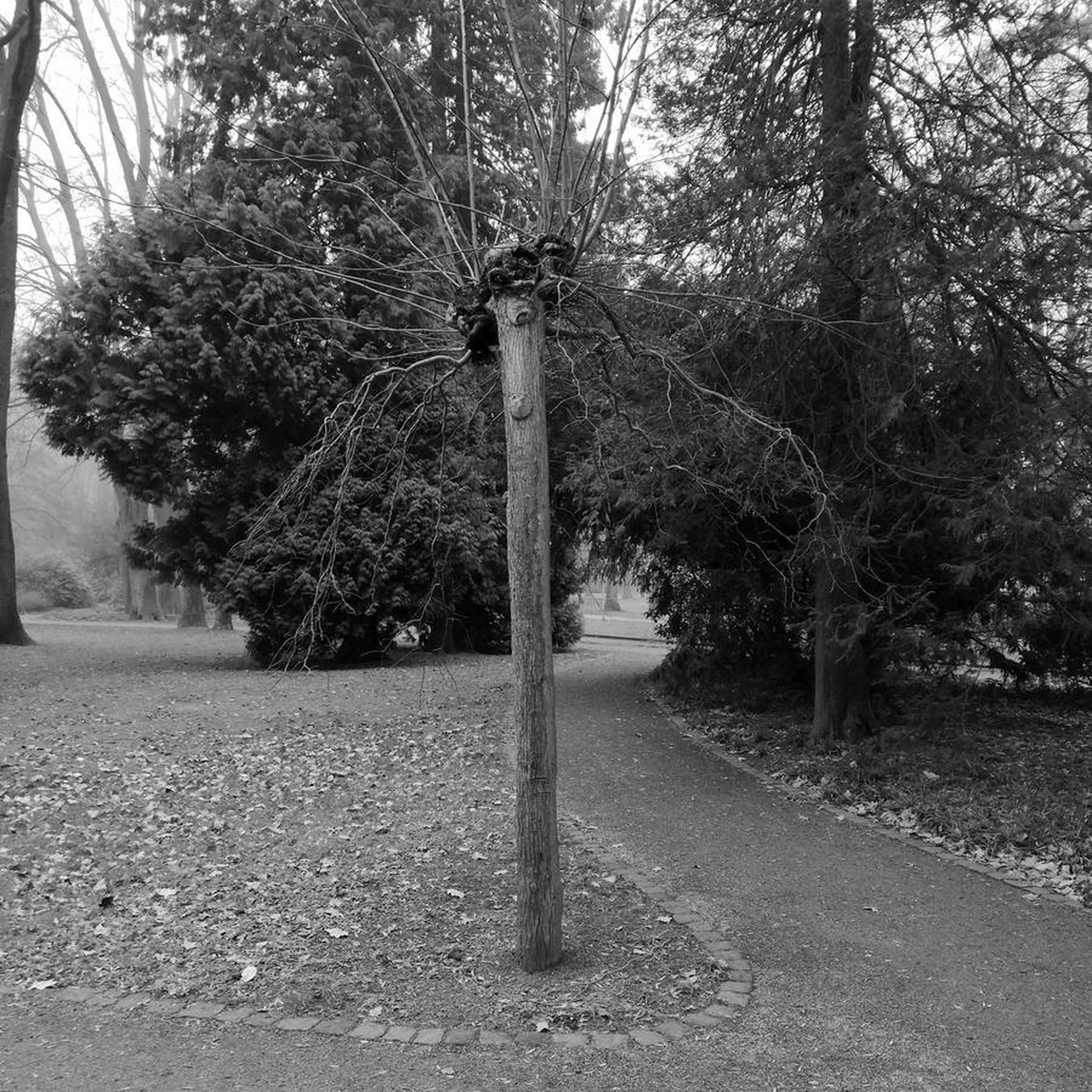
The Cadzow Oaks are around 700 years old. They were planted at the time of Robert the Bruce! Today they are twisted and mostly hollow, they are still very much alive though and support a wide range of animal and plant life.
0
0

Frequently Asked Questions
How many hiking trails are available around Thorniewood?
There are over 180 hiking trails around Thorniewood, offering a wide variety of options for different skill levels and preferences. The komoot community has explored these routes over 4000 times, providing an average rating of 4.3 stars.
Are there easy hiking options suitable for beginners in Thorniewood?
Yes, Thorniewood offers nearly 100 easy hiking routes. A great option for a relaxed stroll is A loop of Strathclyde Loch & Country Park, which is 4.0 miles (6.5 km) long and takes about 1 hour 40 minutes to complete, offering scenic views around the loch.
What kind of terrain can I expect when hiking in Thorniewood?
The terrain around Thorniewood is diverse, featuring numerous woodlands, country parks, and accessible river and canal paths. You'll find rolling hills and tranquil forests, with routes along the River Clyde and the Forth and Clyde Canal. The area provides a pleasant and accessible natural escape within Central Scotland.
Are there any challenging hikes for experienced trekkers in the area?
For those seeking a challenge, Thorniewood has several more difficult routes. One notable option is the Strathclyde Loch – Chatelherault Hunting Lodge loop from Bellshill, a 15.0 miles (24.1 km) trail that can take over 6 hours to complete, leading through varied landscapes including the historic Chatelherault Hunting Lodge.
Can I find circular walks in the Thorniewood area?
Yes, many of the trails in Thorniewood are circular, allowing you to start and end at the same point. For example, the A loop of Strathclyde Loch & Country Park is a popular circular route. The wider region also features the Uddingston Circular Walk, which takes you through woodlands and parks.
What are some scenic viewpoints or natural attractions to see on a hike?
Hikers in Thorniewood can enjoy continuous views of Strathclyde Loch, especially along routes like the Strathclyde Loch North Path – Strathclyde Loch loop from Bothwell. The area is also rich in woodlands and river gorges, particularly within the Clyde Valley Woodlands National Nature Reserve, offering dramatic scenery.
Are there any historical landmarks or points of interest along the hiking trails?
Yes, the region boasts several historical points of interest. You can explore areas around Bothwell Castle, a significant historic site, or visit the Chatelherault Hunting Lodge, which is part of a longer loop trail. Glasgow, nearby, also offers landmarks like George Square and the Glasgow Necropolis.
What do other hikers enjoy most about hiking in Thorniewood?
The komoot community highly rates the hiking experience in Thorniewood, with an average score of 4.3 stars. Hikers often praise the diverse landscapes, including tranquil woodlands and scenic lochside paths, as well as the variety of routes suitable for all abilities.
Are the trails in Thorniewood suitable for families with children?
Many of the easy and moderate trails in Thorniewood are suitable for families. The numerous country parks and well-maintained paths, such as those around Strathclyde Loch, provide safe and enjoyable environments for walks with children. Always check the specific route details for distance and elevation to ensure it matches your family's capabilities.
Can I access hiking trails in Thorniewood using public transport?
Thorniewood and the surrounding areas are generally well-connected. Many trailheads are accessible via public transport, particularly those closer to towns and major attractions. It's advisable to check local bus and train schedules for specific routes you plan to hike.
Are there opportunities for longer, multi-hour hikes in Thorniewood?
Absolutely. While there are many shorter options, Thorniewood also offers longer routes for extended outings. For instance, the Bothwell Castle – David Livingstone Bridge loop from Uddingston is a moderate 7.5 miles (12.1 km) trail that takes around 3 hours 12 minutes, providing a good option for a longer exploration.
What is the best time of year to go hiking in Thorniewood?
Thorniewood offers pleasant hiking experiences throughout much of the year. Spring and autumn provide beautiful scenery with milder temperatures, while summer is ideal for longer days. Even in winter, many paths remain accessible, though conditions can be colder and wetter, requiring appropriate gear.
Most popular attractions around Thorniewood

Get inspired with the komoot mobile app


Explore more
Browse the best Hikes in other regions.
