The best walks and hikes around Largs
4.4
(264)
2,980
hikers
36
hikes
Hiking around Largs offers diverse landscapes, from coastal paths along the Firth of Clyde to accessible hill trails. The region is characterized by its dramatic seaside setting, providing views of islands like Arran and the Cumbraes. Elevated points offer panoramic vistas, while lower routes explore historical landmarks and natural features.
Best hiking trails around Largs
- The most popular hiking route is Knock Hill Circular Trail, a 7.1 miles (11.5 km) trail that takes 3 hours 13 minutes to complete. This moderate route ascends Knock Hill, offering panoramic views and the remains of an Iron Age fort.
- Another top favourite among local hikers is Quadrocks from Largs loop — Clyde Muirshiel Regional Park, an easy 3.1 miles (5.0 km) path. This route provides scenic views within Clyde Muirshiel Regional Park.
- Local hikers also love the Magnus the Viking Statue – The Pencil Monument loop from Largs, a 3.9 miles (6.3 km) trail leading through coastal areas, often completed in about 1 hour 36 minutes.
- Hiking around Largs is defined by coastal paths, accessible hills, and views across the Firth of Clyde. The network offers options for various ability levels, from easy strolls to more challenging climbs.
- The routes in Largs are highly rated by the komoot community with an average score of 4.5 stars from over 100 reviews. More than 1,300 hikers have used komoot to explore Largs's varied terrain.
Last updated: July 21, 2026
4.7
(12)
64
hikers
11.5km
03:14
240m
240m
Hike the moderate 7.1-mile Knock Hill Circular Trail for panoramic views of the Firth of Clyde and an Iron Age fort near Largs.
4.7
(6)
33
hikers
5.05km
01:38
220m
230m
Easy hike. Great for any fitness level. Easily-accessible paths. Suitable for all skill levels.

Sign up for free
5.0
(1)
7
hikers
21.3km
06:26
700m
700m
Embark on the Blaeloch Hill from Largs loop, a difficult hiking route that challenges you with 13.2 miles (21.3 km) of expansive moorland. You'll ascend a significant 2296 feet (700 metres) over approximately 6 hours and 26 minutes, making this a demanding day out. The terrain can be rough and boggy, even along the wind farm tracks, so be prepared for varied ground underfoot. As you climb, keep an eye out for the small Blae Loch, a distinctive feature that marks your progress. On clear days, you are rewarded with sweeping panoramic views across the Firth of Clyde, stretching towards Arran and the Cowal Peninsula, offering a truly memorable experience.
This challenging hike requires very good fitness and sure-footedness, so assess your capabilities before setting out. You should wear sturdy shoes to navigate the potentially rough, tussocky, and boggy ground, especially if you venture off the main wind farm tracks. Always check the weather forecast before you go, as conditions can change rapidly and views might be obscured by haze or cloud cover. Starting early in the day is advisable to ensure you have ample daylight to complete the full 6 hours and 26 minutes of hiking.
The Blaeloch Hill route takes you through the Clyde Muirshiel Regional Park, an area known for its rugged beauty and open landscapes. While traversing the moorland, you'll encounter the distinctive presence of wind farm tracks, which can aid navigation but also mean you're sharing the space with infrastructure. The effort of this difficult trail is often justified by the vast, open vistas you can experience from higher elevations, providing a sense of remoteness and achievement.
5.0
(1)
4
hikers
10.4km
02:54
200m
200m
Embark on the Fairlie Castle from Largs loop, a moderate hike through Clyde Muirshiel Regional Park. This 6.5-mile (10.4 km) route, with an elevation gain of 643 feet (196 metres), typically takes around 2 hours and 54 minutes to complete. You'll experience a diverse landscape, from woodland paths and rough farm tracks to coastal stretches with views across the Firth of Clyde to Cumbrae and Arran. The trail winds through the steep, wooded Fairlie Glen, known for its many waterfalls, and passes by the historic Fairlie Castle, a 16th-century tower overlooking the glen. Be prepared for varied terrain, as some sections can be muddy, especially after rain. You may also encounter a ford with stepping stones and optional scrambling to reach certain waterfalls.
Planning your visit for this moderate hike requires good fitness. The trail combines woodland paths, grassy fields, and some surfaced roads, so appropriate footwear is essential, especially if recent weather has been wet. While the route is generally accessible, some parts may require sure-footedness. There are no specific mentions of permits or fees, but it's always wise to check local park information before heading out. Consider starting your hike earlier in the day to fully enjoy the coastal and glen scenery.
The highlight of this route is Fairlie Castle, a restored oblong tower castle from 1521, perched on a natural knoll above Fairlie Glen. This scheduled monument offers expansive views across the Firth of Clyde, a perfect spot to pause and take in the history. The glen itself is noteworthy for its numerous waterfalls, some requiring a slight detour to explore. The trail also offers glimpses of the
38
hikers
9.44km
02:23
20m
20m
Moderate hike. Good fitness required. Easily-accessible paths. Suitable for all skill levels.
Get access to more routes and recommendations from other explorers.
Sign up for free
Already have an account?
Our route recommendations are based on thousands of hikes, rides, and runs completed by other people on komoot.
Start today with a free account
Your next adventure awaits.
Login or Signup
Tips from the Community

A truly spectacular place that should definitely be planned into your tour! The location is fantastic and it is definitely worth making a short stop here to enjoy the view or just take a quick breather. Highly recommended for anyone traveling in the area.
0
0
A really beautiful place that you should definitely include in your tour! The location is fantastic and it is definitely worth making a short stop here to enjoy the view or simply catch your breath. Highly recommended for anyone in the area. Thank you for sharing this highlight!
0
0
A truly idyllic place that you should definitely plan into your tour! The location is fantastic and it is definitely worth making a short stop here to enjoy the view or simply take a breather. Highly recommended for anyone traveling in the area. Thank you for sharing this highlight!
0
0

Very nice cafe with great cakes pastries and coffee. The ice repair is fab too, lots of lovely flavours and very nice icecream 👍
0
0

Great views but busy with dog walkers and families !
0
0

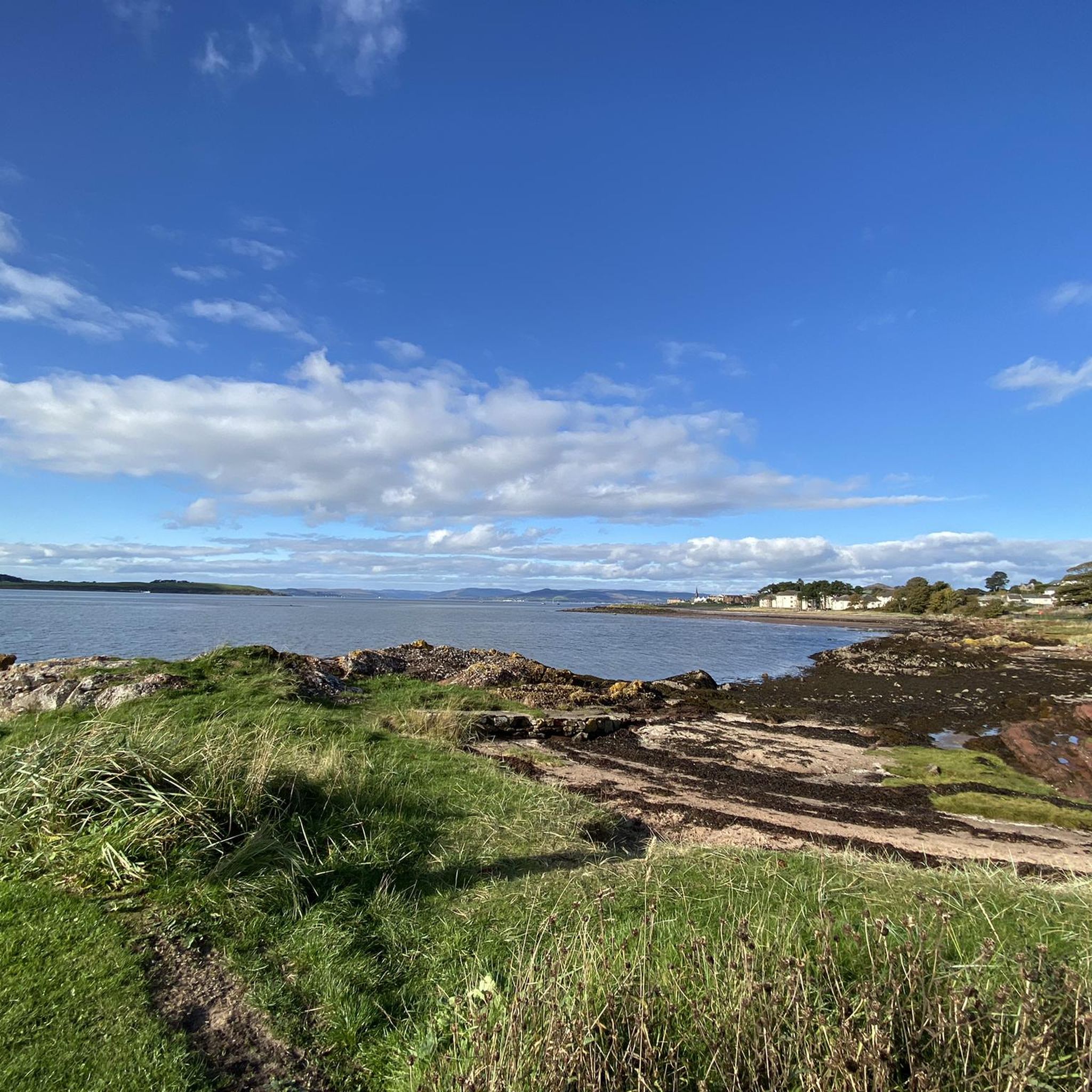
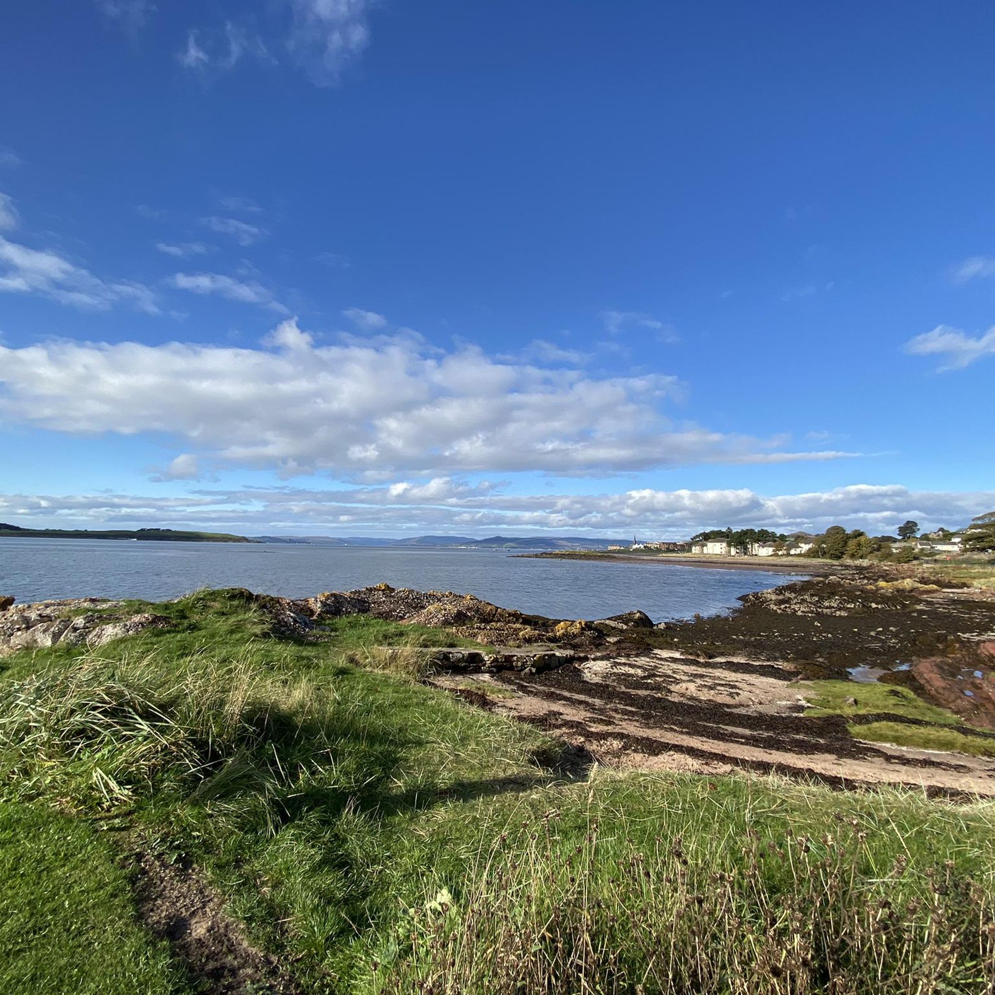
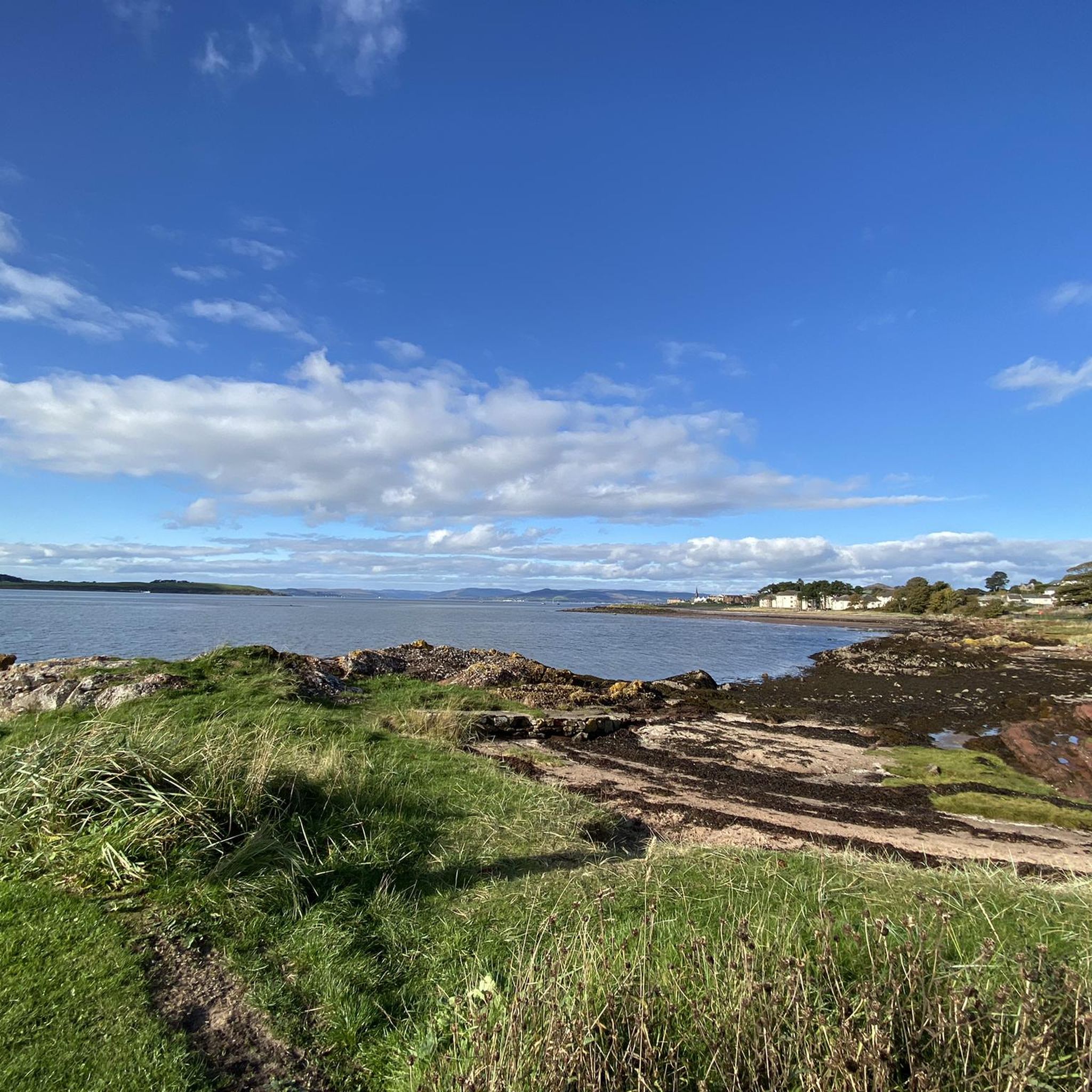
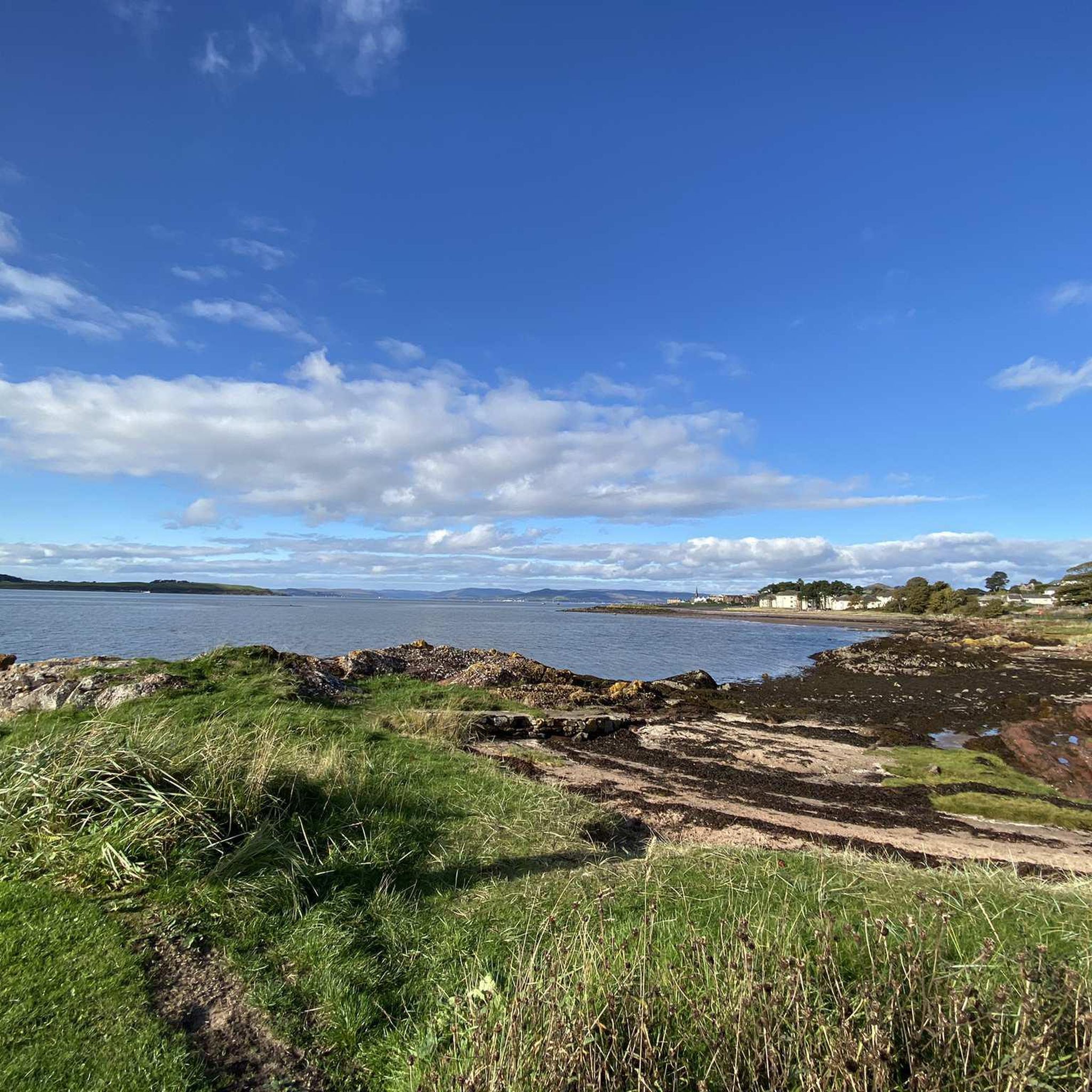
Sandy beach between Largs and the historic Pencil monument.
0
0
"Named for its rather distinctive shape, The Pencil was built in 1912 as a reminder of the Viking influence over Scotland. Overlooking the Firth of Clyde and standing at around 70 feet tall, the pencil remembers the Battle of Largs, where the Scottish defeated 160 ships belonging to the Norwegian King Haco. Take a leisurely walk along the prom in Largs towards the southern end at Bowen Craig and you can’t miss this monument standing 70 feet high in the shape of a pencil. The view from this spot of the Firth of Clyde and the Marina are lovely." Source: https://hiddenscotland.com/listings/largs-pencil-monument
0
0
Alice Boyle, daughter of the current owner of Kelburn Estate Patrick Boyle, wrote a very detailed story about the graffiti project that she had initiated herself, together with her brother and a friend: https://www.aliceboyle.co.uk/the-graffiti-project-2007
0
0
Frequently Asked Questions
How many hiking trails are available around Largs?
Largs offers a wide selection of hiking opportunities, with over 40 routes to explore. These range from gentle coastal strolls to more challenging hill climbs, catering to various fitness levels.
Are there any easy, family-friendly walks in Largs?
Yes, Largs has several easy routes suitable for families. For a pleasant coastal walk, consider the Magnus the Viking Statue – The Pencil Monument loop from Largs, which is about 3.9 miles (6.3 km) and takes around 1 hour 36 minutes. The Greeto Falls Walk, mentioned in local research, is also a popular choice for families, featuring streams and waterfalls.
Which trails offer the best panoramic views of the Firth of Clyde and the islands?
Many trails in Largs provide stunning views. The Knock Hill Circular Trail is particularly renowned for its panoramic vistas across the Firth of Clyde, including views of Arran, Bute, and the Cumbraes. The ascent to Castle Hill via Douglas Park also offers spectacular coastal scenery.
Are there any circular hiking routes in the Largs area?
Yes, Largs features several rewarding circular routes. The Knock Hill Circular Trail is a popular moderate option, offering both views and historical interest. For a shorter, easy loop, the Quadrocks from Largs loop — Clyde Muirshiel Regional Park provides scenic views within the regional park.
What historical landmarks or natural features can I see along the hiking trails?
Largs' trails are rich with points of interest. On the Knock Hill Circular Trail, you can explore the remains of an Iron Age fort at the summit, also known as Knock Hill Summit and Iron Age Fort. The coastal walk leads to the Pencil Monument, commemorating the Battle of Largs. Near the start of the Castle Hill walk, you can find the prehistoric Haylie Chambered Tomb.
Are there any trails that pass by waterfalls?
Yes, the Greeto Falls Walk, which leads into the hills behind Largs, is known for its streams and waterfalls at the top. This trail also offers fantastic views over the coastline and the Gogo river valley.
What is the most challenging hike in the Largs area?
For experienced hikers seeking a challenge, the Blaeloch Hill from Largs loop is considered difficult. This route covers approximately 13.2 miles (21.3 km) and involves significant elevation gain, taking around 6 hours 26 minutes to complete.
What do other hikers say about the trails in Largs?
The hiking routes in Largs are highly regarded by the komoot community, holding an average rating of 4.5 stars from over 100 reviews. Hikers often praise the diverse landscapes, from dramatic coastal paths to rewarding hill climbs, and the magnificent Scottish coastal and island scenery.
Are there any castles or historic buildings accessible via hiking routes?
Yes, you can incorporate historical sites into your hikes. The Fairlie Castle from Largs loop — Clyde Muirshiel Regional Park takes you past Fairlie Castle. Additionally, Kelburn Castle & Country Centre, located on the outskirts of Largs, offers woodland walking routes and a unique castle with a psychedelic mural.
Is Largs a good destination for dog-friendly hikes?
Largs is generally very welcoming for dog walkers. Many of the trails, particularly the coastal paths and the Greeto Falls Walk, are popular choices for those hiking with their dogs, offering varied terrain and natural features for them to enjoy.
What is the best time of year to go hiking in Largs?
Largs offers hiking opportunities year-round, but the best time often depends on your preference. Spring and summer provide milder weather and longer daylight hours, ideal for enjoying the coastal views and lush landscapes. Autumn brings beautiful colours, while winter walks can be dramatic, though some hill trails may be boggy after rain or easier on frozen ground.
Are there options for public transport to reach trailheads in Largs?
Largs is a well-connected seaside town. Many trails, especially those starting from the town center like the coastal walks or the ascent to Castle Hill, are easily accessible on foot from public transport links within Largs. For routes further afield, local bus services might connect to certain areas, but it's advisable to check specific routes and timetables.
Most popular attractions around Largs

Get inspired with the komoot mobile app


Explore more
Browse the best Hikes in other regions.
