The best walks and hikes around Arran
4.6
(822)
6,472
hikers
139
hikes
Hiking around Arran offers diverse terrain, distinctly divided by the Highland Boundary Fault. The northern part features rugged granite peaks and mountainous ridges, while the south presents gentler, undulating hills and pastures. The island's varied landscape includes picturesque glens, a diverse coastline with sandy beaches and rocky outcrops, and numerous waterfalls. This geological diversity provides a wide range of hiking experiences.
Best hiking trails around Arran
- The most popular hiking route is Goatfell Trail, a 7.4 miles (11.8 km) moderate trail that takes about 4 hours 25 minutes to complete. This route ascends Arran's highest peak, offering panoramic views.
- Another top favourite among local hikers is King's Cave loop, an easy 2.9 miles (4.7 km) path. This coastal walk explores historic caves and offers views across Machrie Bay.
- Local hikers also love the Goatfell and Glen Rosa Loop, an 11.7 miles (18.8 km) trail leading through dramatic glens and challenging mountain terrain, often completed in about 6 hours 15 minutes.
- Hiking around Arran is defined by rugged granite peaks, picturesque glens, and diverse coastal paths. The network offers options for various ability levels, from gentle strolls to challenging mountain ascents.
- The routes in Arran are highly rated by the komoot community with an average score of 4.6 stars from over 700 reviews. More than 5000 hikers have used komoot to explore Arran's varied terrain.
Last updated: August 3, 2026
4.8
(96)
917
hikers
11.8km
04:26
810m
800m
Embark on the Goatfell Trail, a moderate hike that takes you 7.3 miles (11.8 km) to the highest peak on the Isle of Arran. You will gain 2645 feet (806 metres) in elevation, a journey that typically takes around 4 hours and 26 minutes to complete. The path begins in a forest, gradually opening up to birch woodland and heather moorland as you ascend. As you climb higher, you will be treated to expansive views looking back towards Brodick Bay and Holy Island. The final push to Goatfell Summit involves some scrambling over boulders, rewarding you with panoramic vistas across the entire island.
To begin your hike, you can access the trailhead near Brodick Castle or the Arran Brewery. Keep in mind that while the overall route is moderate, the upper sections require good fitness and some prior hiking experience due to the boulder scrambling. These more challenging parts may not be suitable for very young children. The Isle of Arran itself is reached by ferry to Brodick, making it a convenient destination for a day trip or a longer stay.
This trail offers a unique opportunity to experience what many call "Scotland in miniature" from its highest point. From Goatfell Summit, on a clear day, you might even spot distant landmarks like Jura, Ben Lomond, and the coast of Ireland. The route is managed by the National Trust for Scotland, ensuring a well-maintained path through diverse landscapes, from sheltered woodlands to exposed mountain ridges.
4.8
(99)
786
hikers
4.73km
01:23
130m
130m
Embark on the King's Cave loop, an easy hiking route on the Isle of Arran that offers a delightful mix of woodland paths and stunning coastal vistas. This trail covers 2.9 miles (4.7 km) with a gentle elevation gain of 433 feet (132 metres), making it perfect for a relaxed outing. You can expect to complete the hike in about 1 hour and 22 minutes, enjoying views across cliffs and bays towards the Pirnmill Hills and the Kintyre Peninsula. As you walk, you'll discover impressive rock formations along the dramatic coastline, leading you towards the historic King's Cave area. The route provides a refreshing outdoor experience with varied scenery.
When planning your visit, be aware that sturdy shoes are highly recommended for this hike. Parts of the trail involve a descent to a shingle beach and navigating a rocky foreshore. The path can also be wet in places, especially along the coastal section, so come prepared for varied terrain. Always check local conditions before you head out to ensure a pleasant and safe experience.
The King's Cave loop is notable for its diverse scenery, transitioning from tranquil woodlands to expansive coastal views. A highlight is the striking vista of Machrie Bay, offering panoramic views looking north. The dramatic coastline is rich with natural arches and unique rock formations, adding to the trail's distinctive character. This route provides a wonderful opportunity to explore the natural beauty and historical intrigue of the Isle of Arran.

Sign up for free
4.8
(62)
442
hikers
5.89km
01:42
150m
150m
Embark on an easy hike along the Glenashdale Waterfall loop from Ashdale Bridge, a route that takes you through lush wooded glens and past impressive natural features. You will cover 3.7 miles (5.9 km) with a gentle elevation gain of 496 feet (151 metres), making it a comfortable journey for most. The highlight is undoubtedly the magnificent Glenashdale Falls, a double cascade plunging 45 meters, which you can admire from a dedicated viewing platform.
Starting your adventure is straightforward from Ashdale Bridge, where parking is generally available nearby. This loop is accessible without any specific permits or fees, and you will find picnic tables along the way if you wish to take a break. The estimated duration for this hike is around 1 hour and 42 minutes, so you can easily fit it into your day.
Beyond the stunning waterfall, the trail offers a glimpse into ancient history with the Neolithic chambered cairns known as the Giants' Graves. These historical sites provide not only cultural interest but also offer panoramic views over Whiting Bay and Holy Island, adding another layer to your experience on this scenic Isle of Arran route.
4.7
(35)
276
hikers
18.8km
06:17
870m
870m
Embark on the Goatfell and Glen Rosa Loop, a challenging 11.7 miles (18.8 km) hiking route that takes approximately 6 hours and 17 minutes to complete. You will gain 2848 feet (868 metres) in elevation, making this a truly demanding adventure. The trail leads you through varied terrain, from dense vegetation to open moorland, culminating in a scramble to the Goatfell Summit. From the summit, you are rewarded with expansive views across the Scottish islands and mainland. The descent then guides you into the serene Glen Rosa, characterized by its flowing river and clear pools.
Plan your hike carefully, as this difficult route demands preparation. In winter, you will need specialized equipment like ice-axes and crampons, along with the necessary skills to use them safely. The path can be boggy and slippery in certain sections, especially after rain, so wear appropriate footwear. Be aware that midges can be present, particularly during warmer months, so consider bringing repellent. The trail is easily accessible from Brodick, with common starting points near the Arran Brewery or the Brodick Castle car park.
This loop offers a quintessential Arran hiking experience, showcasing the island's dramatic natural environment. You will encounter large boulders on your ascent to Goatfell, adding to the rugged feel of the landscape. The descent includes scrambly sections, notably along the Stacach Ridge, before you reach the tranquil beauty of Glen Rosa. This glen is particularly known for its gurgling river, small waterfalls, and clear pools, providing a refreshing contrast to the mountain climb.
4.7
(28)
202
hikers
9.82km
04:04
830m
830m
Embark on the Goatfell from Corrie Loop, a moderate hike spanning 6.1 miles (9.8 km) with a significant elevation gain of 2735 feet (834 metres). You can expect to complete this journey in about 4 hours and 4 minutes. The trail starts by winding through peaceful woodland, gradually transitioning to open moorland where gentle streams give way to rugged mountain burns. As you ascend, the landscape transforms dramatically, leading you to the Goatfell Summit. From here, you are rewarded with sweeping panoramic views that stretch across the entire Isle of Arran and reach the Scottish mainland. The traverse along the Stacach Ridge offers further stunning vistas of the glen below and impressive peaks like Cir Mhor. Be prepared for sections involving scrambling over rocky boulders, especially as you gain elevation.
When planning your hike, be aware that this route is considered more strenuous than the alternative path from Brodick, particularly in its higher sections. Good footwear and hiking poles are highly recommended for navigating the tricky terrain throughout the year. If you plan to tackle this route in winter, be prepared for challenging conditions. The trail can demand ice axes, crampons, and appropriate experience due to the potential for ice on the granite slabs. Always check weather conditions before you set out.
This loop offers a rewarding experience for experienced hillwalkers seeking a challenge on Arran. The dramatic shift in scenery from tranquil woodlands to rugged mountain terrain makes it a unique adventure. You might even be fortunate enough to witness a beautiful sunrise or a cloud inversion from the summit on a clear day. The route provides a distinct perspective of Goatfell, showcasing its diverse landscapes and offering a memorable journey through one of Scotland's iconic mountains.
Get access to more routes and recommendations from other explorers.
Sign up for free
Already have an account?
Our route recommendations are based on thousands of hikes, rides, and runs completed by other people on komoot.
Start today with a free account
Your next adventure awaits.
Login or Signup
Popular around Arran
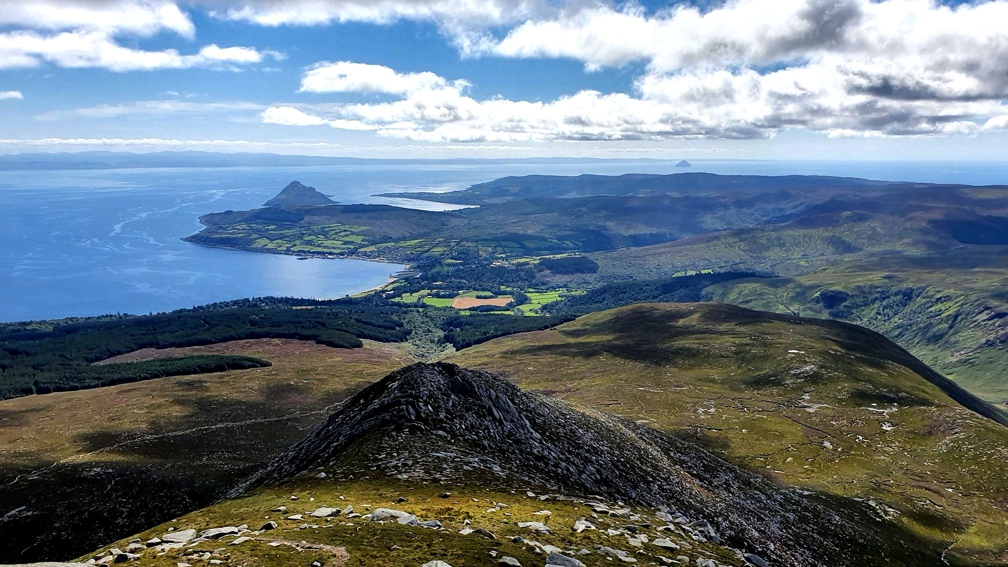
Arran Coastal Way — A breathtaking loop of 'Scotland in miniature'

Walk Britain – 90 car-free adventures in England, Wales and Scotland
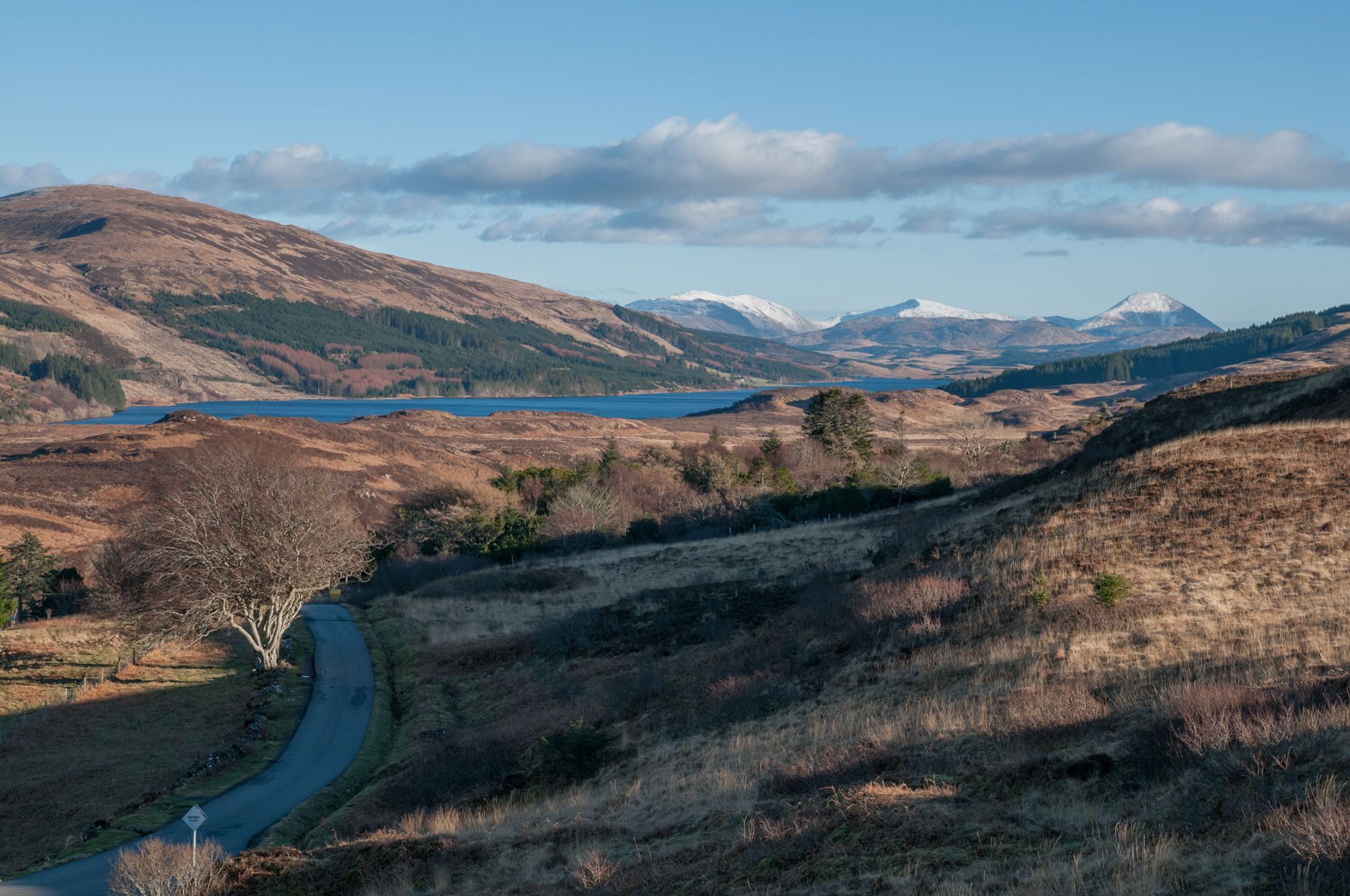
West Island Trail – Island hopping by bike in the Inner Hebrides
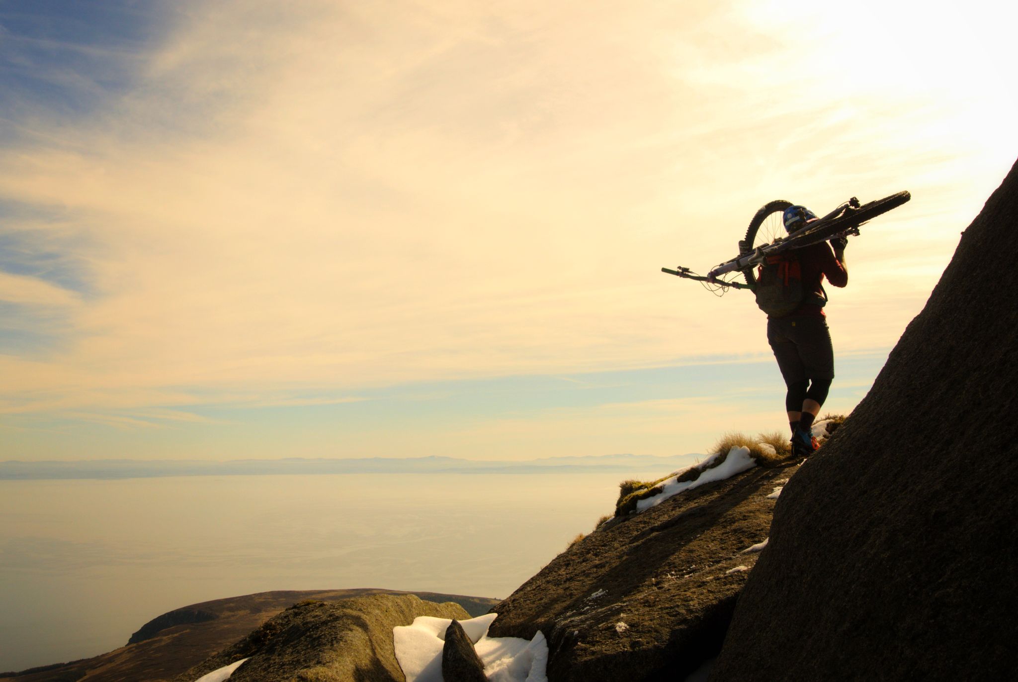
Hike-a-bike is alright – my 7 favourite UK "earn your descents rides"
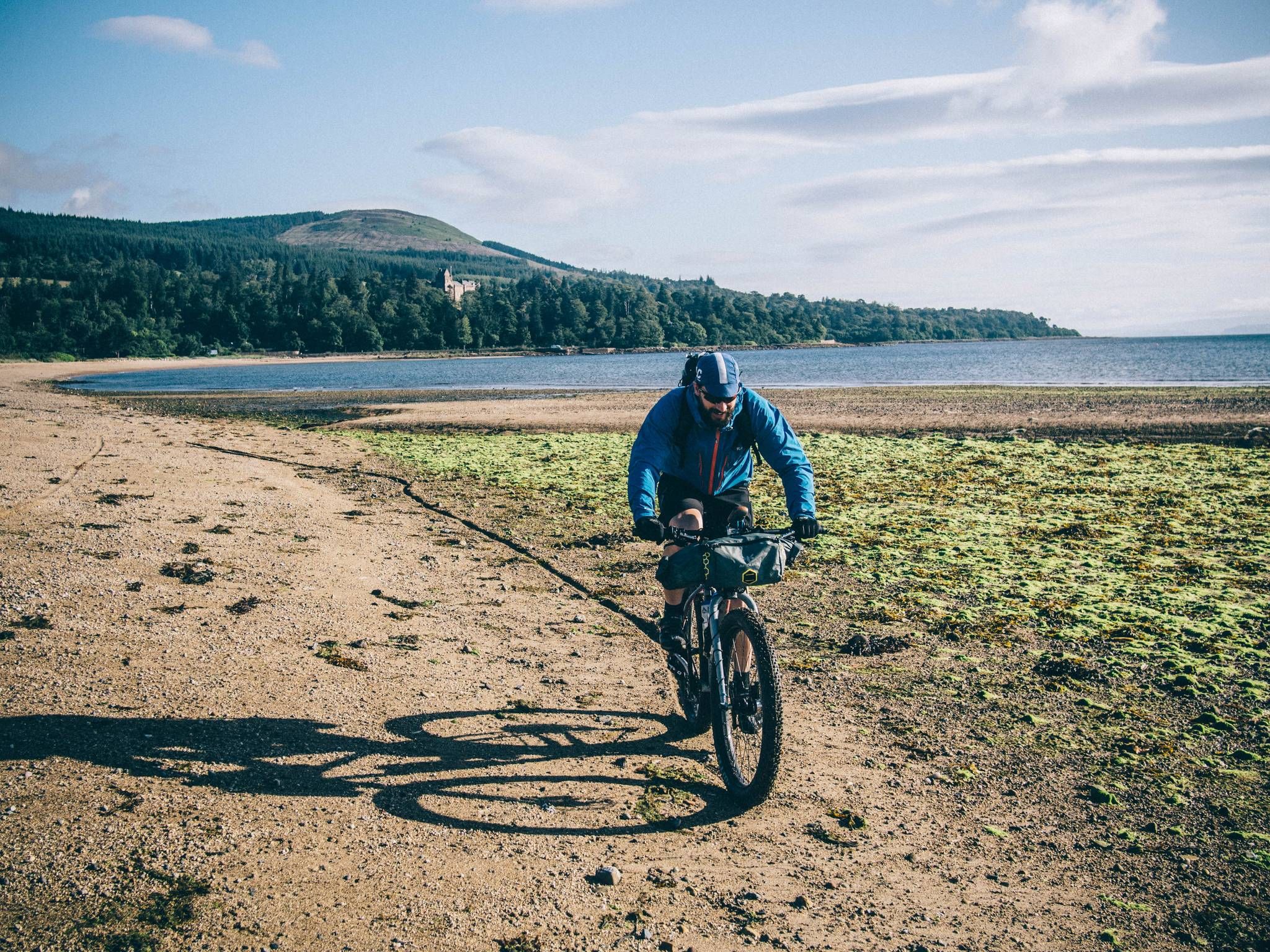
Isle of Arran — trails, bikes and the sea
Road Cycling Routes around Arran
Cycling around Arran
MTB Trails around Arran
Running Trails around Arran

Gravel biking around Arran


Tips from the Community

There are a number of quite big caves, the biggest being Kings Cave with it's ornate ironwork at the entrance. There is evidence of human occupation and activity going back thousands of years.
0
0
A fine view from the hill overlooking Machrie Bay, towards Mullach Buidhe.
0
0
A fine route, but requires care in places as it is steep and sometimes loose.
0
0
North Goat Fell is rocky tor and a subsidiary summit at the end of the Goat Fell north ridge. It also marks the beginning of the steep and in places awkward descent to the Saddle.
0
0
Eas a' Chrannaig is the biggest and best waterfall on Arran!
0
0
Glen Rosa is a truly beautiful place, it was a real pleasure to be able to spend a week there. A walk over Beinn Tarsuinn, past the A Chir ridge and then over the spectacular Cir Mhor to the Saddle, and then return by walking the length of the Glen is an unforgettable experience.
0
0

Frequently Asked Questions
What types of hiking trails can I expect on Arran?
Arran is often called 'Scotland in miniature' due to its diverse landscapes. The northern part features dramatic, rugged granite peaks and mountainous ridges, while the south offers gentler, undulating hills and pastures. You'll find everything from challenging mountain ascents to serene coastal paths and woodland strolls. This variety ensures options for all skill levels.
Are there family-friendly hiking options on Arran?
Yes, Arran has many trails suitable for families. The southern part of the island generally offers gentler terrain. For example, the King's Cave loop is an easy coastal walk that explores historic caves, providing an engaging experience for children. Many woodland walks around Brodick Castle also offer accessible paths.
Can I bring my dog on hikes around Arran?
Most trails on Arran are dog-friendly, but it's crucial to keep dogs under close control, especially in areas with livestock or ground-nesting birds. Always follow the Scottish Outdoor Access Code, which advises keeping dogs on a lead or under close control around farm animals. Be mindful of wildlife, particularly during lambing season.
Are there any circular hiking routes on Arran?
Yes, many of Arran's trails are designed as circular routes, allowing you to start and finish in the same location. A popular example is the Glenashdale Waterfall loop from Ashdale Bridge, which takes you to stunning waterfalls. The island's diverse terrain means you can find circular walks ranging from easy coastal paths to challenging mountain loops.
What kind of natural attractions can I see while hiking on Arran?
Arran is rich in natural wonders. You can discover stunning waterfalls like Glenashdale Falls, serene lochans, and dramatic glens such as Glen Rosa. The island's coastline offers rugged outcrops and sandy beaches. Geologically, Arran is fascinating, with the Highland Boundary Fault dividing its distinct northern and southern landscapes. You might even spot ancient geological features or areas with dinosaur footprints.
Are there any historical or archaeological sites accessible via hiking trails?
Absolutely. The King's Cave, near Blackwaterfoot, is a significant historical site associated with Robert the Bruce, accessible via a scenic coastal walk. On the west side of Arran, the Machrie Moor Stone Circles offer an impressive collection of Neolithic standing stones and burial cairns, providing a historical dimension to walks across the moor.
What is the best time of year to go hiking on Arran?
The best time to hike on Arran generally depends on your preferences. Spring (April-May) and Autumn (September-October) offer pleasant temperatures, fewer midges, and beautiful scenery with wildflowers or autumn colours. Summer (June-August) provides longer daylight hours but can be busier and have more midges. Winter hiking is possible for experienced hikers, but requires appropriate gear and awareness of rapidly changing weather conditions.
What are the parking options for hikers on Arran?
Parking is available at various trailheads and villages across Arran. Popular starting points like Brodick, Lamlash, and near major attractions often have designated parking areas. While many are free, some may have small fees or require donations. It's always advisable to check local signage upon arrival.
Can I use public transport to access hiking trails on Arran?
Yes, Arran has a bus service that connects its main villages, making it possible to access many hiking trails without a car. The bus routes often pass by trailheads or within walking distance of them, particularly for coastal paths and routes starting from larger settlements like Brodick or Lamlash. This is especially useful for point-to-point hikes.
What do other hikers enjoy most about hiking on Arran?
The komoot community highly rates hiking on Arran, with an average score of 4.6 stars from over 700 reviews. Hikers frequently praise the island's incredible diversity, from challenging mountain ascents with panoramic views to tranquil coastal walks and ancient sites. The well-maintained paths and the sheer variety of scenery packed into a small area are often highlighted as key attractions.
Are there any challenging hikes for experienced hikers on Arran?
Arran offers several challenging routes, particularly in the rugged northern mountains. The ascent of Goatfell, Arran's highest peak, is a popular moderate to difficult climb. For a more extensive challenge, the Goatfell and Glen Rosa Loop is a difficult trail leading through dramatic glens and demanding mountain terrain, often taking over six hours to complete. The island also features three other Corbetts (Cir Mhor, Caisteal Abhail, and Beinn Tarsuinn) for experienced ridge walkers.
Where can I find amenities like cafes or pubs near hiking routes?
Arran's main villages, such as Brodick, Lamlash, and Lochranza, offer a good selection of cafes, pubs, and accommodation options. Many hiking routes start or pass through these villages, making it convenient to find refreshments or a place to stay before or after your hike. Even smaller hamlets often have a local shop or pub.
Are there any permits required for hiking on Arran?
Generally, no specific permits are required for hiking on Arran. Scotland operates under the Scottish Outdoor Access Code, which grants statutory access rights to most land and inland water, provided you act responsibly. This means you can walk freely, but you must respect the environment, wildlife, and private property. For more detailed information on responsible access, you can visit VisitArran's walking section.
Most popular routes around Arran
Most popular attractions around Arran

Get inspired with the komoot mobile app


Explore more
Browse the best Hikes in other regions.
