The best walks and hikes around Barvas And Brue
4.2
(64)
410
hikers
18
hikes
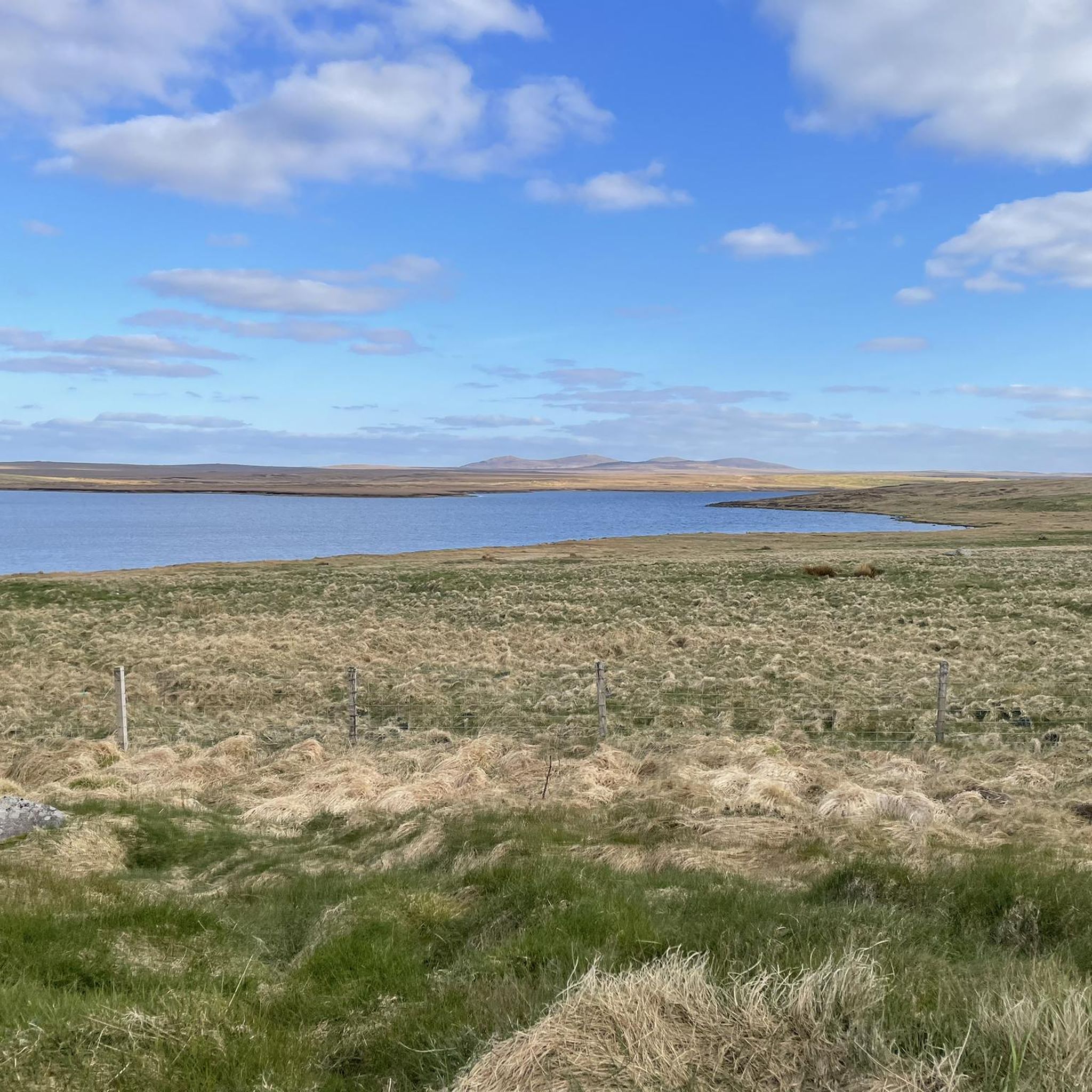
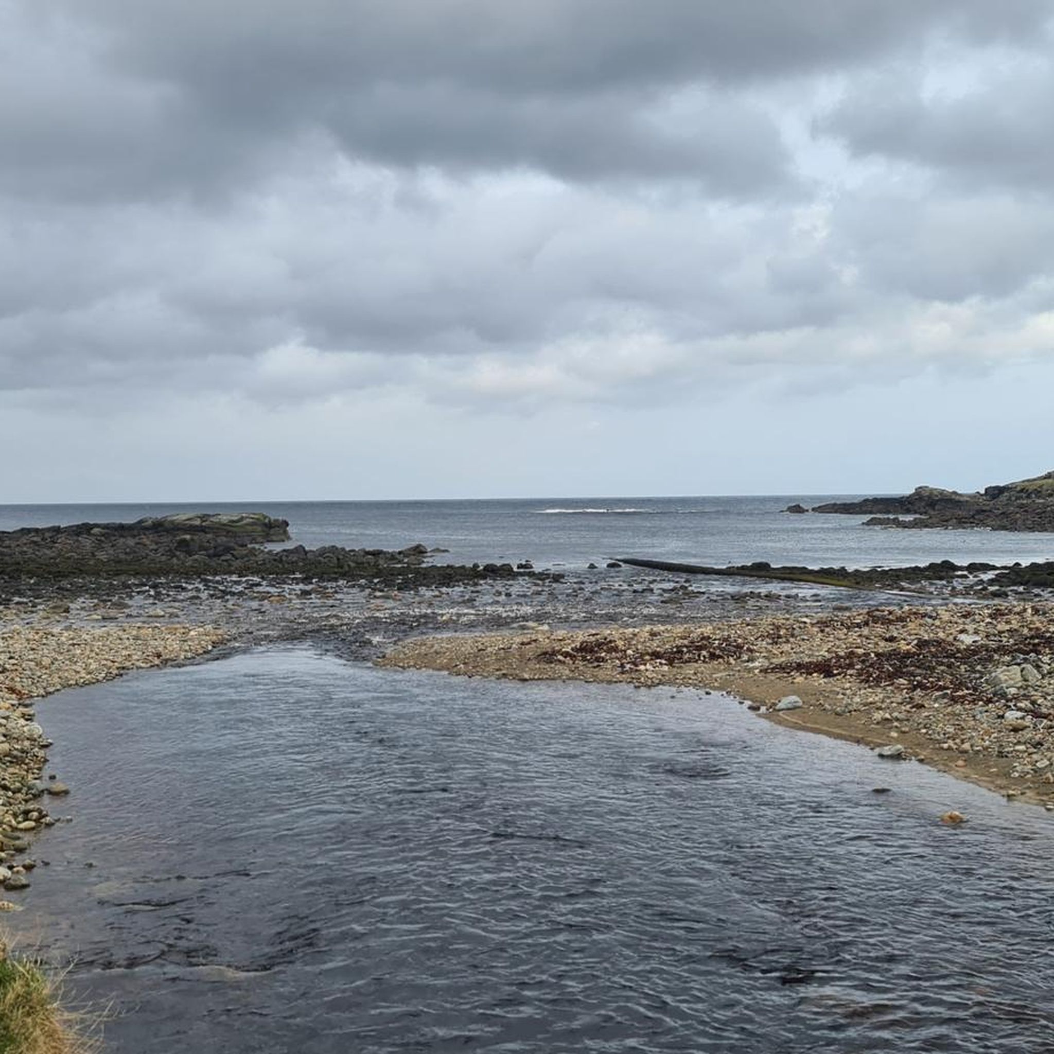
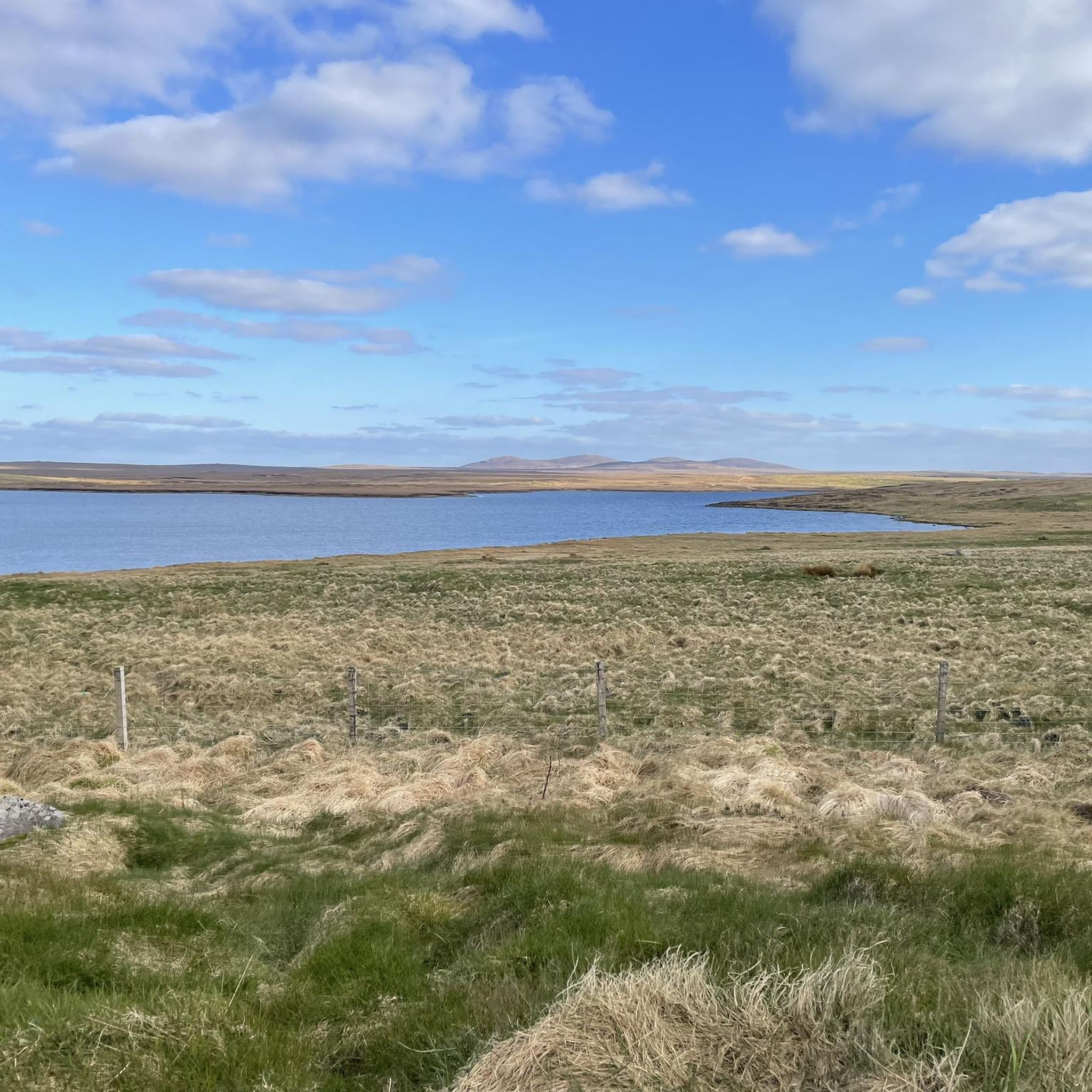
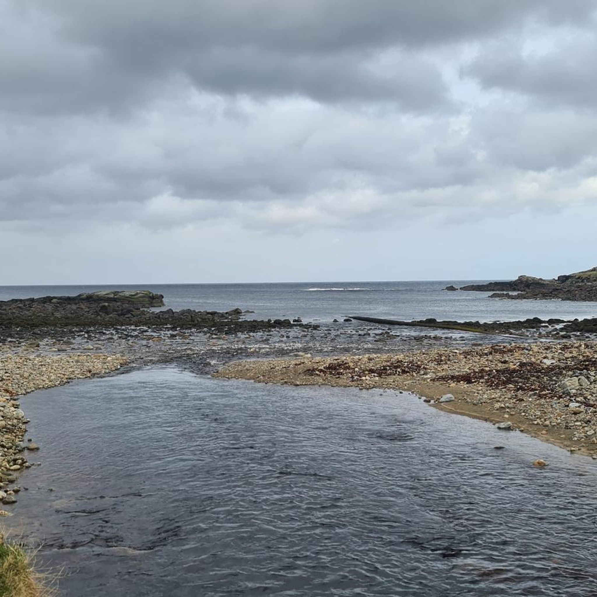
Hiking around Barvas And Brue, located on the west coast of Lewis in the Outer Hebrides, Scotland, features a diverse landscape for outdoor activities. The region is characterized by a dramatic coastline with sandy beaches, rocky outcrops, and machair, a unique shell-sand plain. Inland, the terrain transitions to moorland interspersed with freshwater lochs. Elevated walks along cliffs offer expansive views of the Atlantic.
Best hiking trails around Barvas And Brue
- The most popular hiking route is Sea Stack at Mangersta…
Last updated: May 12, 2026
4.9
(7)
24
hikers
6.51km
01:43
60m
60m
Easy hike. Great for any fitness level. Easily-accessible paths. Suitable for all skill levels.
5.0
(1)
22
hikers
Easy hike. Great for any fitness level. Easily-accessible paths. Suitable for all skill levels.

Sign up for free
5.0
(2)
6
hikers
3.59km
00:56
20m
20m
Easy hike. Great for any fitness level. Easily-accessible paths. Suitable for all skill levels.
11
hikers
Easy hike. Great for any fitness level. Easily-accessible paths. Suitable for all skill levels.
3.7
(6)
32
hikers
4.84km
01:17
50m
50m
Easy hike. Great for any fitness level. Easily-accessible paths. Suitable for all skill levels.
Get access to more routes and recommendations from other explorers.
Sign up for free
Already have an account?
Our route recommendations are based on thousands of hikes, rides, and runs completed by other people on komoot.
Start today with a free account
Your next adventure awaits.
Login or Signup
Tips from the Community

When you stop by don‘t miss the Harris Tweed exhibition on 1st floor by the Harris Tweed Authority!
0
0

It's a hotel, and there's a museum behind it.
1
0
From the park you have a good view of the harbor.
1
0

While it's pretty in and of itself, the square is unfortunately extremely littered. The numerous trash cans under the mural and the flying debris hardly contribute to the pleasant atmosphere. A typical harborside area, but still not very pretty.
0
0

Lews Castle is beautifully situated in parkland.
4
1
Stornoway, Scottish Gaelic Steòrnabhagh, is the main town on the island of Lewis and Harris and, with 8,000 inhabitants, the most important town in the Outer Hebrides off the west coast of Scotland.
4
1
Stornoway, Scottish Gaelic Steòrnabhagh, is the main town on the island of Lewis and Harris and, with 8,000 inhabitants, the most important town in the Outer Hebrides off the west coast of Scotland.
4
1
Stornoway, Scottish Gaelic Steòrnabhagh, is the main town on the island of Lewis and Harris and, with 8,000 inhabitants, the most important town in the Outer Hebrides off the west coast of Scotland.
4
2
Frequently Asked Questions
How many hiking trails are available in Barvas And Brue?
Barvas And Brue offers a selection of 18 hiking routes. All of these trails are rated as easy, making them accessible for a wide range of hikers.
What kind of terrain can I expect on hikes in Barvas And Brue?
The landscape around Barvas And Brue is diverse. You'll find dramatic coastal paths with golden sands, rocky outcrops, and unique machair plains. Inland, the terrain transitions to moorland interspersed with freshwater lochs. Elevated walks along cliffs offer expansive views of the Atlantic.
Are there any circular walks in Barvas And Brue?
Yes, several routes in the area are circular. For example, the Sea Stack at Mangersta – Dal Beag Beach loop from Shawbost is an easy 4.0-mile (6.5 km) trail that offers coastal views and beach access. Another option is the View of Lews Castle – View of Stornoway Harbour loop from Stornoway, which is an easy 3.1-mile (5.0 km) path providing views of historical landmarks.
What is the typical difficulty of hiking trails in Barvas And Brue?
All 18 hiking trails listed for Barvas And Brue are rated as easy. This means they are generally suitable for most fitness levels and do not involve significant elevation changes or technical sections.
How long do hikes in Barvas And Brue usually take?
The duration of hikes varies, but many easy routes can be completed within a few hours. For instance, the Sea Stack at Mangersta – Dal Beag Beach loop from Shawbost typically takes around 1 hour 43 minutes, while the View of Lews Castle – Stornoway Town Hall loop from Cearns can be completed in about 1 hour 31 minutes.
Are the hiking trails in Barvas And Brue suitable for families?
Given that all trails in the area are rated as easy, many are suitable for families. The coastal paths and beaches, like Barvas Beach and Machair, offer pleasant walks. Always consider the length and specific conditions of a route when planning a family outing.
Can I bring my dog on hikes in Barvas And Brue?
Yes, dogs are generally welcome on trails in Barvas And Brue. However, please keep them under control, especially in areas with livestock or ground-nesting birds, and always clean up after them. Some coastal areas might have specific restrictions during certain seasons to protect wildlife.
What natural features or landmarks can I see while hiking in Barvas And Brue?
Hikers can explore diverse natural features such as the unique machair plains, expansive moorland with freshwater lochs like Loch Eirearaigh, and dramatic coastal cliffs. The Barvas and Brue Walking Route, for example, guides you past Loch Eirearaigh and Loch na Mulilne. You might also encounter the reconstructed Barvas Shieling, offering a glimpse into historical crofting life.
What do other hikers enjoy most about hiking in Barvas And Brue?
The area is highly rated by the komoot community, with an average score of 4.2 stars from over 60 reviews. Hikers often praise the stunning coastal scenery, the unique natural environment, and the sense of a rugged, untamed landscape. The opportunities for wildlife observation and beautiful sunsets are also frequently highlighted.
Are there any historical sites or attractions near the hiking trails?
Yes, there are several points of interest. Near some routes, you can find historical landmarks such as Lews Castle and the Stornoway Town Hall. The Fisherwoman Statue at Stornoway Harbour is another notable attraction. The reconstructed Barvas Shieling also provides a historical insight into crofting life.
Where can I find parking for hikes in Barvas And Brue?
Parking is generally available at key access points. For instance, Brue Shore provides good access and parking for walks along the coast. Specific route starting points often have designated parking areas, but it's always advisable to check local signage.
What is the best time of year to hike in Barvas And Brue?
The Outer Hebrides offer a rugged experience year-round. While summer provides longer daylight hours and milder weather, spring and autumn can offer dramatic skies and fewer crowds. The 'wild coastline' with Atlantic waves crashing against the shore can be particularly impressive during stormier weather, offering an 'edge-of-world feeling'. Always be prepared for changeable weather conditions regardless of the season.
Most popular attractions around Barvas And Brue

Get inspired with the komoot mobile app


Explore more
Browse the best Hikes in other regions.
