The best MTB trails around Uig
4.6
(7)
65
riders
6
rides
Mountain biking around Uig offers routes through a landscape characterized by dramatic geological formations like the Quiraing, coastal views, and open terrain. The region's trails often feature significant elevation changes, providing challenging climbs and descents. Mountain bikers can expect to encounter a mix of exposed paths and routes offering panoramic vistas over the sea and surrounding areas.
Best mountain bike trails around Uig
- The most popular mountain bike trail is Quiraing Traverse via Quiraing Road, a 19.0 miles (30.5…
Last updated: November 1, 2026
1
riders
30.5km
02:21
570m
570m
Hard mountain bike ride. Good fitness required. Advanced riding skills necessary. Some portions of the route may require you to push your bike.
4.5
(2)
22
riders
51.2km
03:21
730m
730m
Hard mountain bike ride. Good fitness required. Advanced riding skills necessary. Some portions of the route may require you to push your bike.

4.0
(3)
20
riders
37.0km
02:24
570m
570m
Hard mountain bike ride. Good fitness required. Advanced riding skills necessary. Some portions of the route may require you to push your bike.
5.0
(1)
14
riders
28.6km
02:09
490m
490m
Moderate mountain bike ride. Good fitness required.
1
riders
Moderate mountain bike ride. Good fitness required. Advanced riding skills necessary.
Our route recommendations are based on thousands of hikes, rides, and runs completed by other people on komoot.
Start today with a free account
Your next adventure awaits.
Popular around Uig
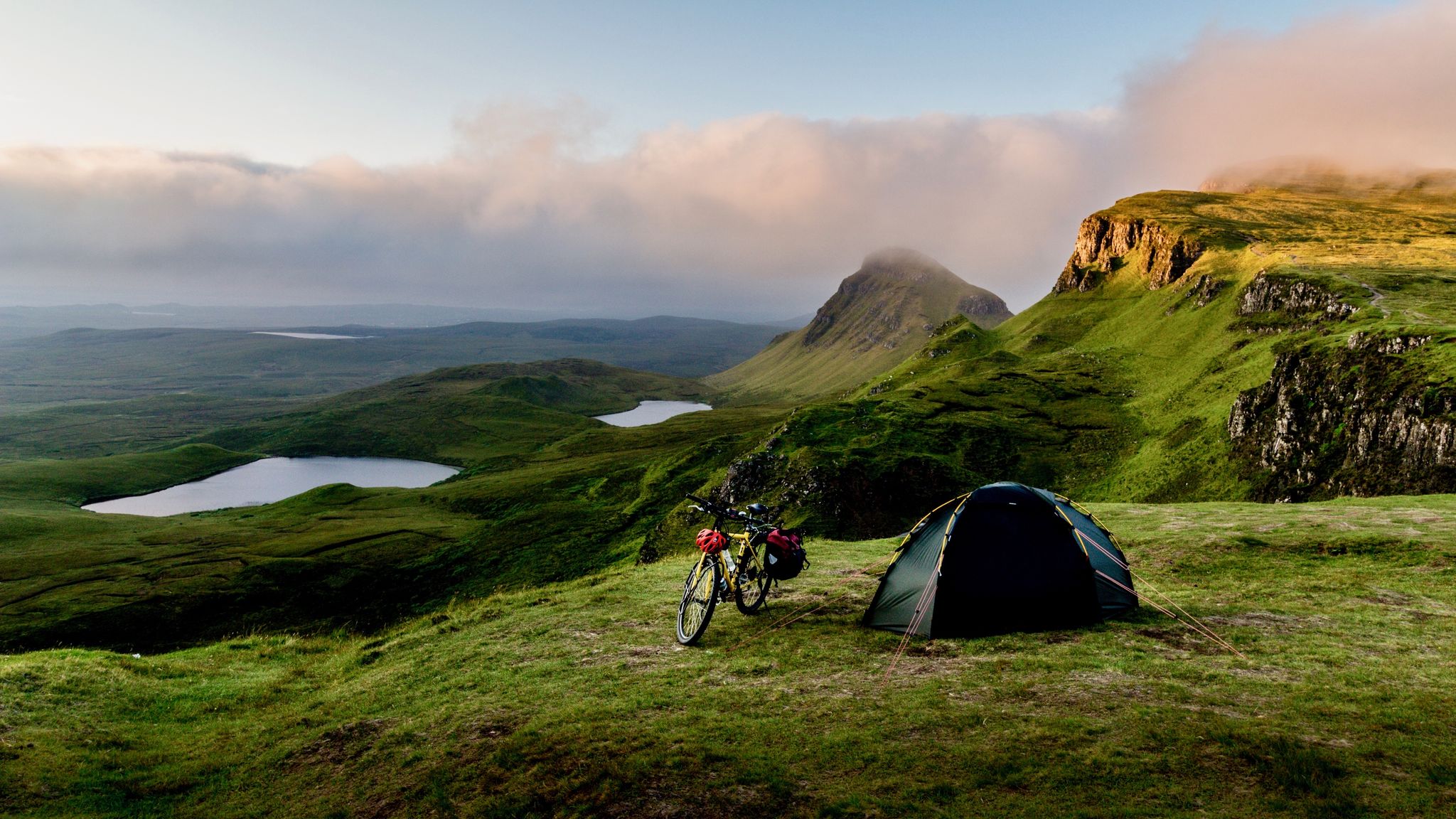
Hebridean hopscotch — cycling along Scotland's magical west coast
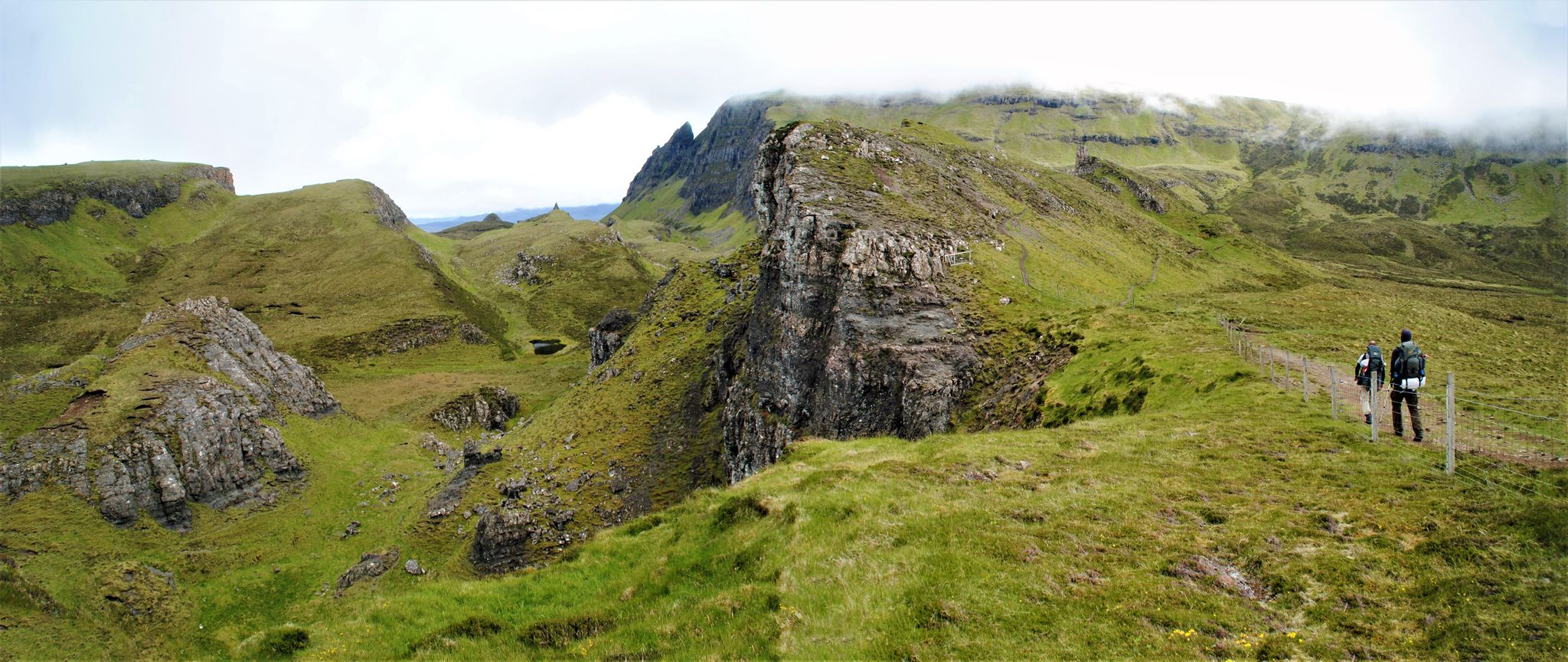
The Skye Trail – Old castles and dramatic cliffs
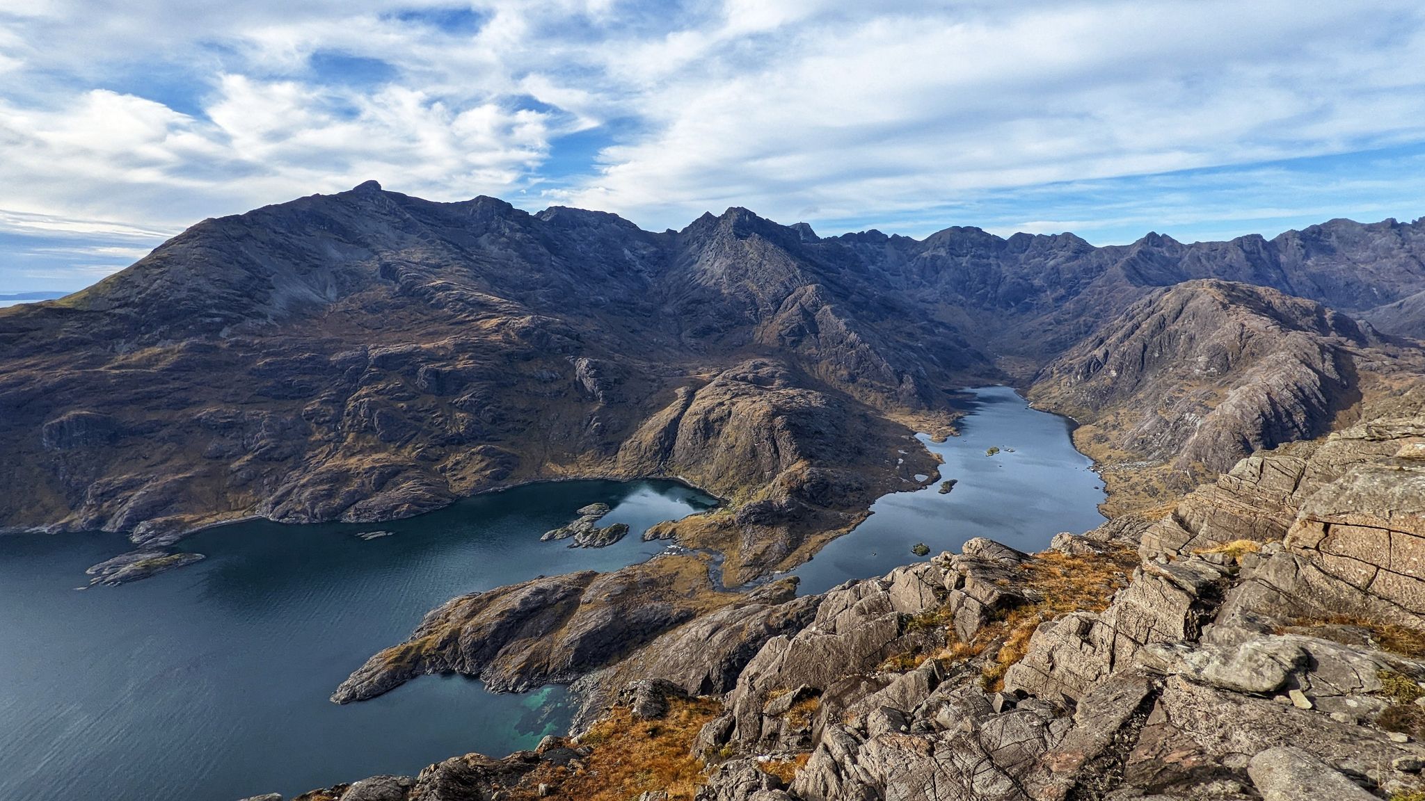
Beauty and the beastly black ridge – hiking on the Isle of Skye
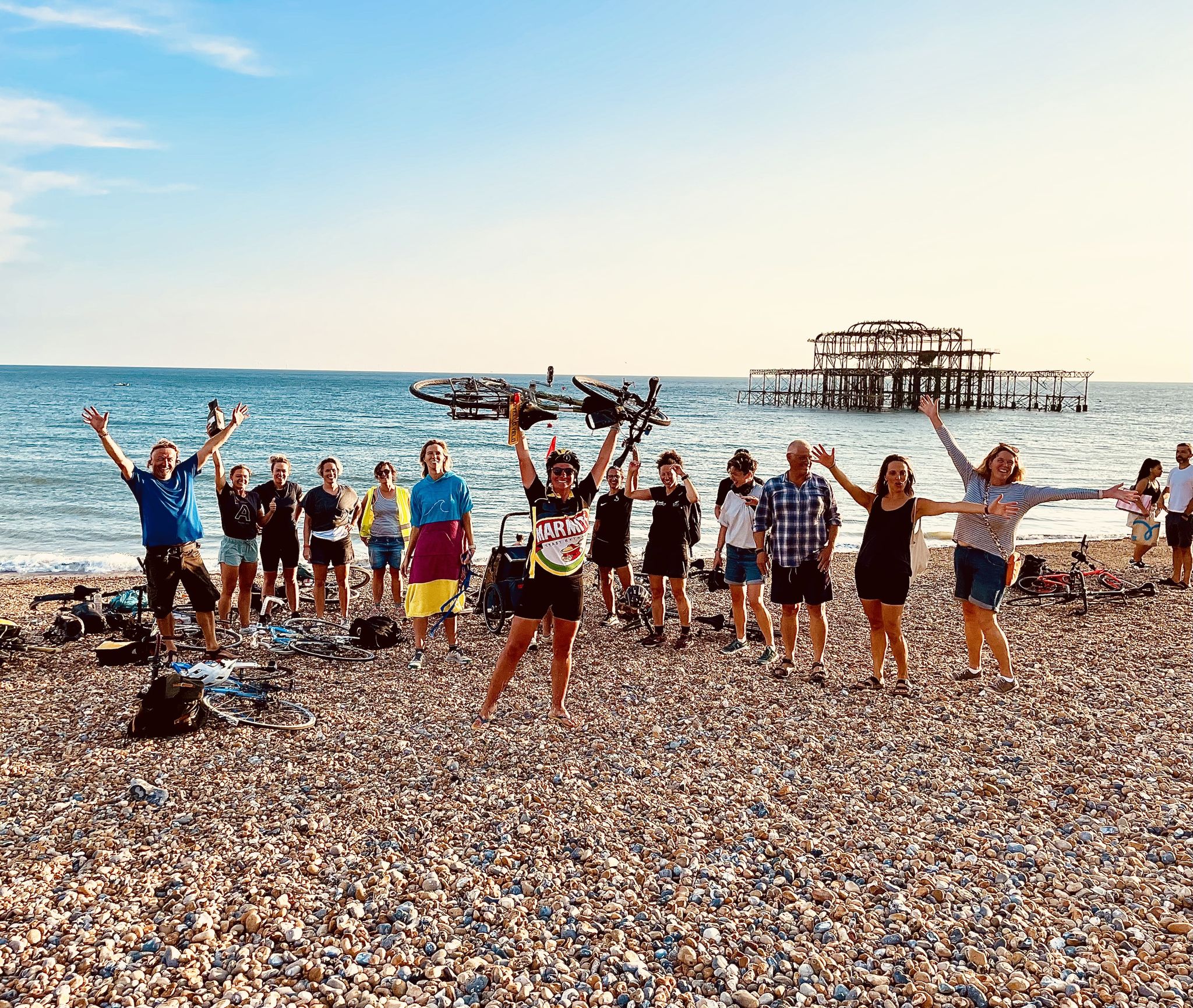
Around the edge in 80 days — cycling the coastline of Britain

Hiking around Uig

Running Trails around Uig

Road Cycling Routes around Uig

Cycling around Uig
Other adventures around Uig


Tips from the Community

From here, the gaze escapes from the Quiraing towards Loch Cleat, the bay of Staffin and the sea. The curious thing about this small lake is its position: it is wedged between the slopes of Trotternish, a short distance from the coast but separated from the sea. On clear days, from this point you can even distinguish Staffin Island and, much further away, the mountains of the Scottish continental coast. A good place to stop and look out of the Quiraing: the spectacle is not just behind you.
0
0
For centuries, the Quiraing was not a tourist viewpoint. Its walls, needles and nooks served the inhabitants of Trotternish to hide livestock from raiders. Particularly curious is The Table, an elevated, surprisingly flat and grassy plateau, practically invisible from below. According to tradition, they could hide animals there without those crossing the valley even knowing they were above them. Seeing the rock labyrinth from this point, it is easy to understand why it was a perfect hiding place.
0
0
After several days of rain, the cliffs of Quiraing fill with temporary waterfalls that fall directly from the enormous basalt walls. Some easily exceed 100 meters in height and can appear or practically disappear depending on the weather. With strong wind, something even stranger happens: the water can be pushed upwards or dissolve into a cloud of droplets before reaching the ground. This is why this spot can look completely different from one day to the next.
0
0
This almost unreal landscape was born from one of Britain's biggest landslides. The immense weight of ancient volcanic lava layers caused the lower rocks to give way and created this maze of needles, walls, and plateaus. And the surprising thing is that the ground is still moving: for years the road that crosses the Quiraing has needed repairs due to ground shifts. Some of its formations even have their own names, like The Needle, The Prison, and The Table. It's not simply a pretty viewpoint: you are traversing a gigantic landslide that remains active millions of years after it began to form.
0
0
This stretch crosses Strath Suardal, one of Skye's most geologically curious landscapes, between Broadford and Torrin. Here the terrain changes radically: expanses of white limestone appear on an island normally dominated by dark volcanic rock. That limestone was transformed by the heat of the magma that formed the Cuillins and gave rise to the famous Skye marble, exploited for over a century in the nearby Torrin quarries. In just a few kilometres, you go from open moorland to mountains, small lochs, and huge rock faces. A road where it's worth looking up from the handlebars.
0
0
A 4.2 km descent with about 150 m of elevation change, crossing one of Skye's inland wind farms. Ben Aketil Wind Farm became operational in 2007 and its wind turbines are spread across a huge expanse of moorland, with practically no buildings around. The tracks built to access and maintain the turbines have also created a curious network of paths for exploring this much less touristy part of the island. By bike, the contrast between the gigantic turbines, the mountains, and Skye's completely open landscape is what's truly special about this section.
0
0


The Quiraing Pass on the Isle of Skye is a spectacular, narrow mountain road that connects the villages of Uig and Staffin on the Trotternish Peninsula. It leads through the dramatic landscape of the Quiraing and reaches an altitude of about 260 meters. The road is known as a single-track, winding route with steep sections and tight hairpin bends. In some places, it reaches gradients of up to 14% and requires careful driving. During the drive, exceptional views of rock formations, hills, and the coastline are offered. The Quiraing Pass is therefore considered one of Scotland's most beautiful, but also most challenging, scenic roads.
1
0
Frequently Asked Questions
What are the typical difficulty levels for mountain bike trails in Uig?
Mountain biking in Uig primarily features moderate and difficult trails. According to komoot data, there are 2 moderate routes and 4 difficult routes. The terrain is characterized by dramatic geological formations and significant elevation changes, providing challenging climbs and descents.
Are there any family-friendly mountain bike routes in Uig?
Uig's mountain bike trails are generally more suited for experienced riders due to the challenging terrain and elevation changes. There are no easy routes listed in the komoot guide. Families with younger or less experienced riders might find the moderate trails, such as Wind Farm Descent – St John's Chapel Ruins loop from Abhainn Ghlinn Uachdaraich, manageable in shorter sections, but caution is advised.
When is the best time of year for mountain biking in Uig?
The best time for mountain biking in Uig is typically from late spring to early autumn (May to September). During these months, the weather is generally milder, and daylight hours are longer. However, be prepared for changeable weather conditions, as rain and wind can occur at any time of year in the Scottish Highlands.
What kind of weather should I expect when mountain biking in Uig?
Uig, like much of the Isle of Skye, is known for its unpredictable weather. You should be prepared for all conditions, including rain, strong winds, and sunshine, often within the same day. Always carry appropriate waterproof and warm clothing, regardless of the forecast, and check local weather updates before heading out.
Are there cafes or places to refuel near the mountain bike trails in Uig?
The village of Uig itself offers a few amenities, including a shop and a cafe, which can be good spots to refuel before or after your ride. Given the remote nature of some trails, it's always wise to carry sufficient water and snacks for your journey.
Are there any wild swimming spots accessible from the mountain bike trails in Uig?
While not directly adjacent to specific mountain bike trails, the Uig area is rich with coastal access and freshwater lochs. Many riders enjoy the scenic views of the sea, and some lochs or sheltered coastal bays might offer opportunities for a refreshing dip, especially on warmer days. Always exercise caution and be aware of local conditions if considering wild swimming.
What are some notable natural attractions or landmarks I can see along the mountain bike trails in Uig?
Many mountain bike routes in Uig offer stunning views of iconic natural landmarks. For instance, trails like Quiraing Traverse via Quiraing Road and View of the Quiraing – The Quiraing loop from Lealt traverse the dramatic landscape of The Quiraing. Other nearby attractions include the famous Old Man of Storr and various viewpoints like Loch Leathan Viewpoint.
What do other mountain bikers enjoy most about mountain biking in Uig?
The komoot community highly rates mountain biking in Uig, with an average score of 4.6 stars from over 7 reviews. Riders often praise the dramatic geological features, the extensive coastal views, and the challenging nature of the trails. The unique, exposed terrain and panoramic vistas are frequently highlighted as key attractions.
Are there any circular mountain bike routes in Uig?
Yes, several mountain bike routes in Uig are circular, allowing you to start and end in the same location. Examples include The Quiraing – Quiraing Pass loop from Uig, which takes you through the rugged Quiraing Pass, and Wind Farm Descent – St John's Chapel Ruins loop from Abhainn Ghlinn Uachdaraich.
How long do mountain bike trails in Uig typically take to complete?
The duration of mountain bike trails in Uig varies depending on the route and your pace. For example, the Quiraing Traverse via Quiraing Road is approximately 19.0 miles (30.5 km) and typically takes around 2 hours 21 minutes. Longer routes, such as Roskhill Beach – View of Portree Harbour loop from Abhainn Ghlinn Uachdaraich, can extend to 41.1 miles (66.1 km) and take over 4 hours.
Are mountain bike trails in Uig suitable for dogs?
While many outdoor areas in Scotland are dog-friendly, the specific suitability of mountain bike trails for dogs can vary. Uig's trails often involve exposed terrain, significant elevation changes, and can be rocky. If you plan to bring your dog, ensure they are fit enough for challenging rides, are kept under close control (especially near livestock), and that you carry enough water for both of you. Always follow the Scottish Outdoor Access Code.
What are the conditions like for winter mountain biking in Uig?
Winter mountain biking in Uig can be very challenging. Expect short daylight hours, cold temperatures, strong winds, and a high chance of rain, sleet, or even snow, especially at higher elevations. Trails can become muddy, icy, or boggy, making them more difficult and potentially hazardous. It is crucial to be well-prepared with appropriate gear, navigation skills, and to check weather and trail conditions thoroughly before attempting a winter ride.
Most popular attractions around Uig

Get inspired with the komoot mobile app


Explore more
Browse the best MTB trails in other regions.
