The best mountain hikes around Sconser
5.0
(1)
6
hikers
3
hikes
Mountaineering routes Sconser offer access to the dramatic and rugged landscapes of the Isle of Skye. The region is dominated by the Cuillin Hills, featuring the jagged, dark peaks of the Black Cuillin and the more rounded, reddish-brown hills of the Red Cuillin. Prominent peaks like Blà Bheinn provide challenging ascents and expansive vistas over the surrounding lochs and mountains. This area is characterized by rocky terrain, significant elevation changes, and a true wilderness experience.
Best mountaineering routes around Sconser
…Last updated: August 4, 2026
4
hikers
15.5km
06:08
900m
900m
Hard mountaineering route. Very good fitness required. Sure-footedness, sturdy shoes and alpine experience required.
1
hikers
8.05km
04:10
850m
850m
Hard mountaineering route. Good fitness required. Sure-footedness, sturdy shoes and alpine experience required.

Sign up for free
5.0
(1)
1
hikers
18.6km
05:06
310m
310m
Hard mountaineering route. Very good fitness required. Easily-accessible paths. Suitable for all skill levels.
Our route recommendations are based on thousands of hikes, rides, and runs completed by other people on komoot.
Start today with a free account
Your next adventure awaits.
Login or Signup
Popular around Sconser
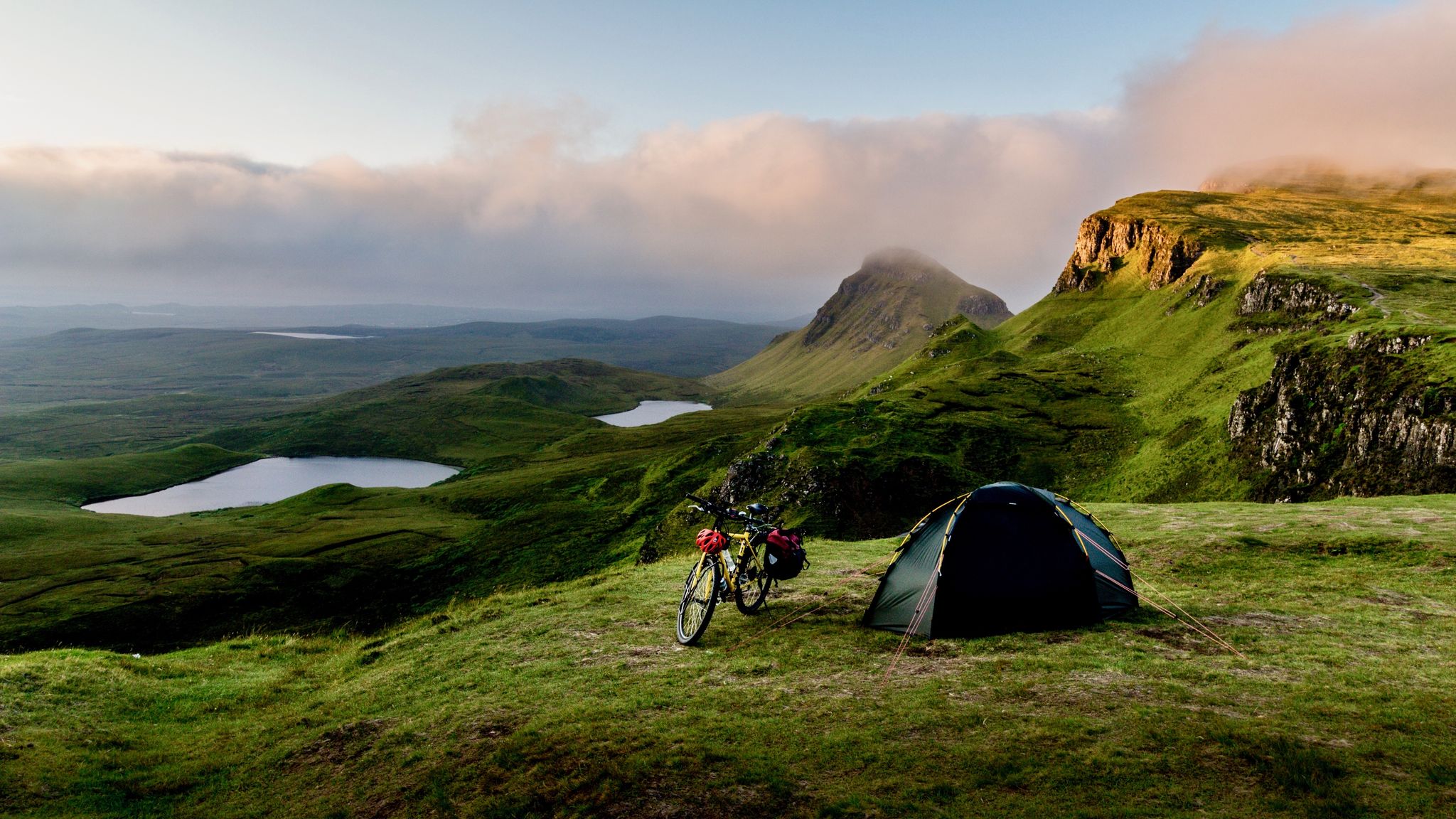
Hebridean hopscotch — cycling along Scotland's magical west coast
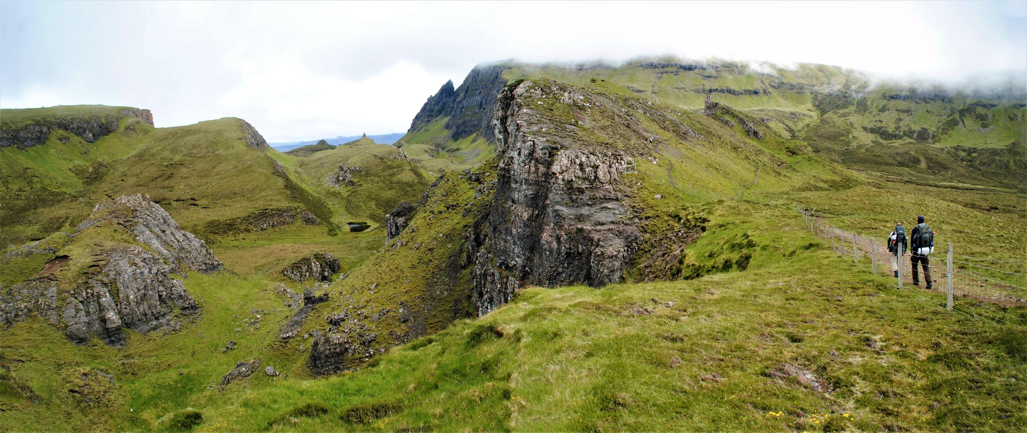
The Skye Trail – Old castles and dramatic cliffs
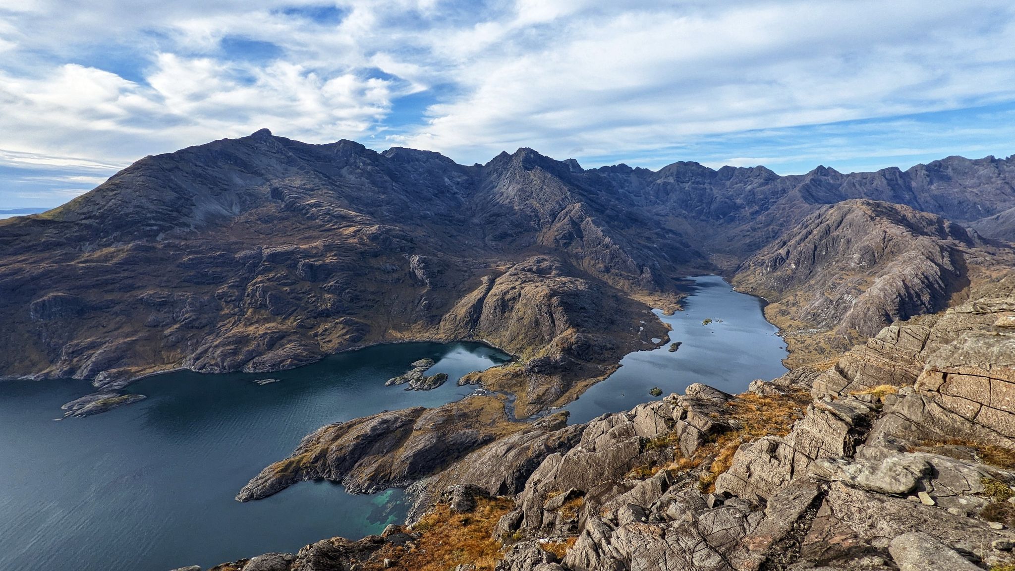
Beauty and the beastly black ridge – hiking on the Isle of Skye

Around the edge in 80 days — cycling the coastline of Britain
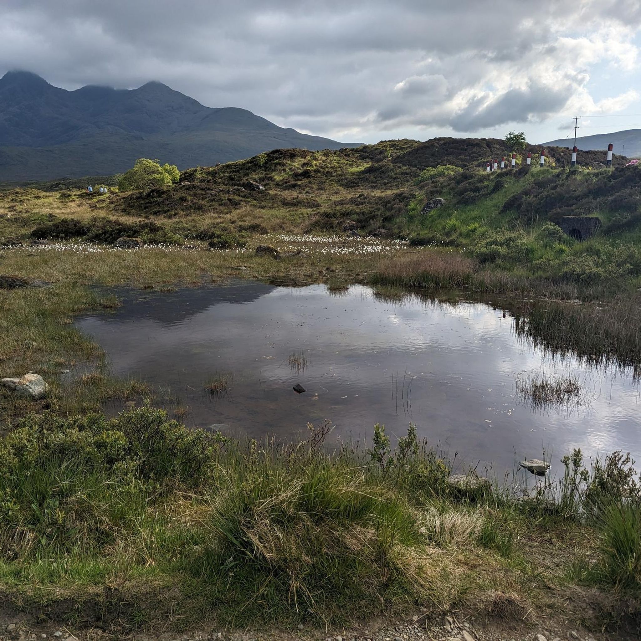
Hiking around Sconser
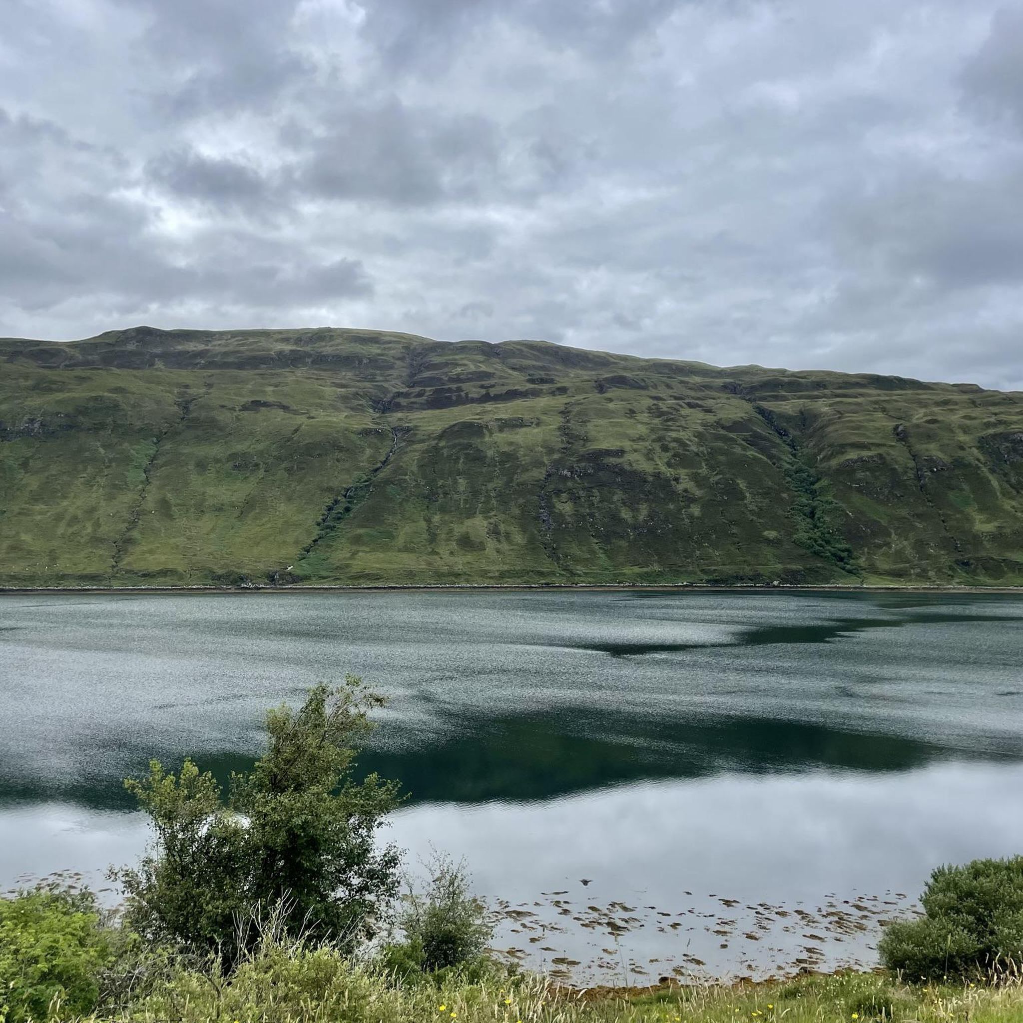
MTB Trails around Sconser
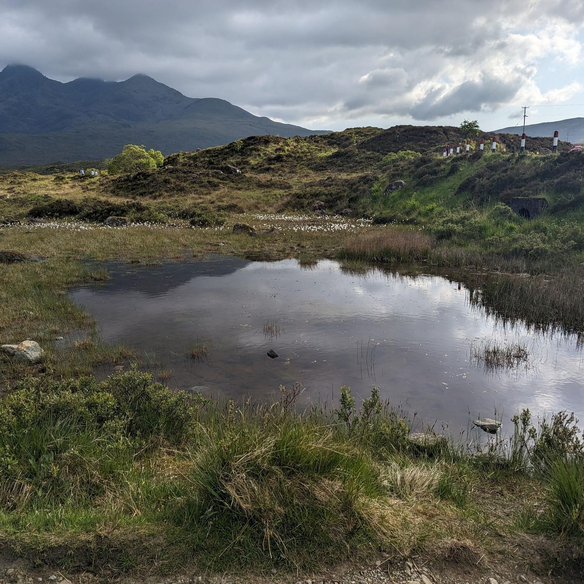
Running Trails around Sconser
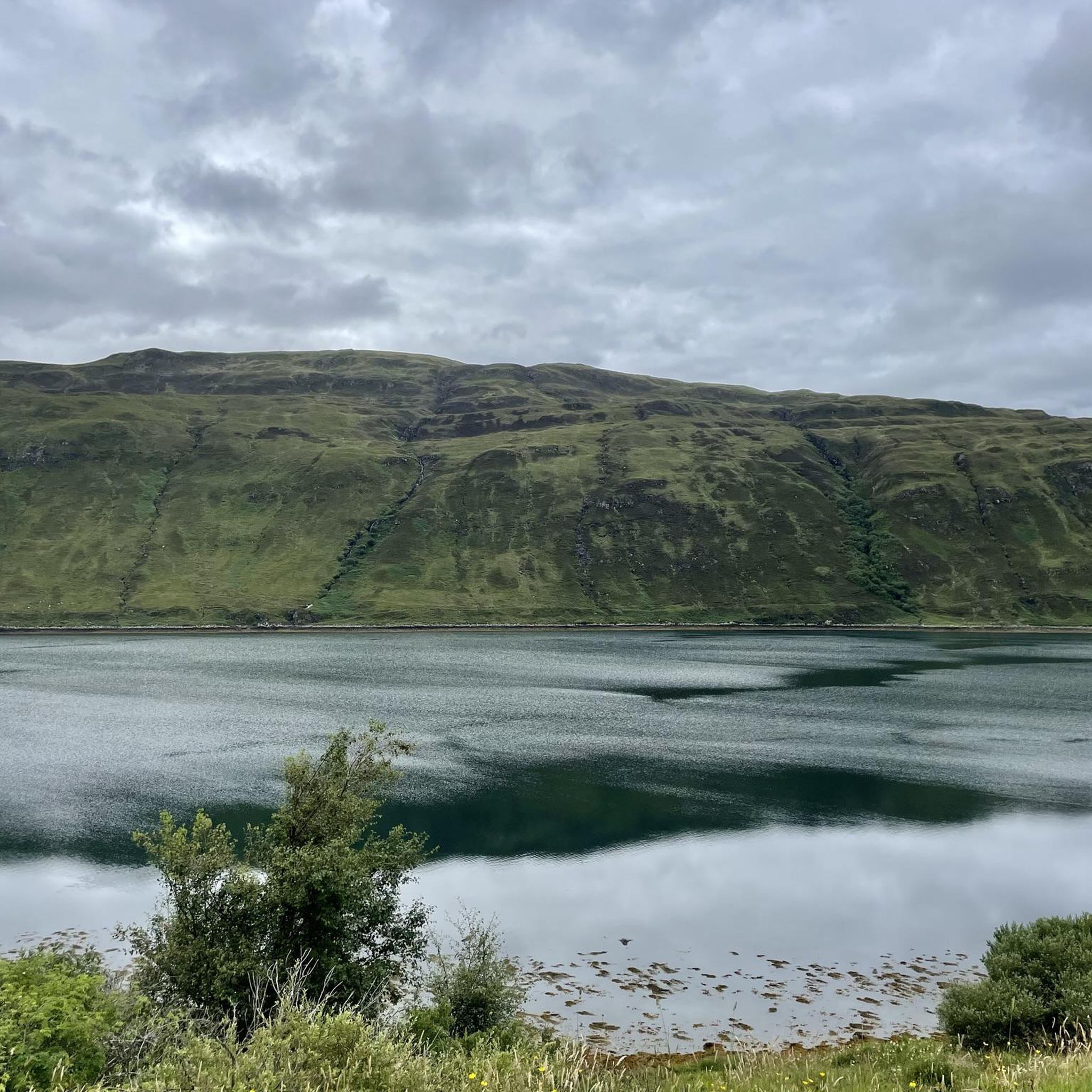
Road Cycling Routes around Sconser
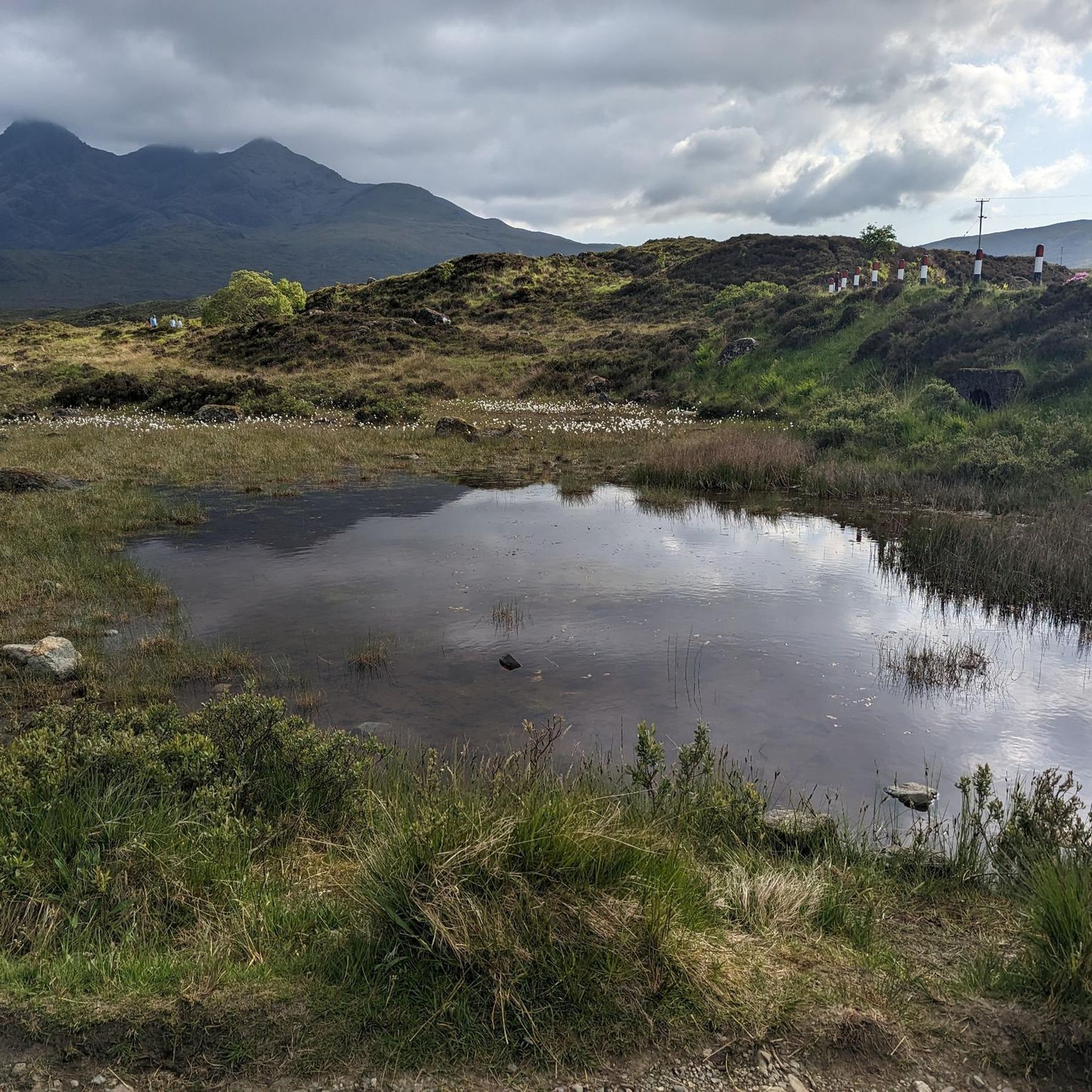
Cycling around Sconser
Other adventures around Sconser


Tips from the Community

An incredibly impressive place with the pools and this vastness.
1
0

wonderfull place but be prepared to get the early to get parked ip
3
0

R details said r Erre network 5t error RR error RR you RR RR eer age eer
0
0

Nice flat area at the trig point to enjoy lunch compared to the jagged spike summits that the Cuillins seem to specialise in!
0
0

On this river, one highlight follows the other. It is so beautiful and touching to walk along it.
0
0

One of the series of waterfalls on Allt Coir' a' Mhadaidh known as Fairy Glen. It's a beautiful setting but often quite popular nearer the car park, carry on upstream to reduce the crowds.
1
1

It's beautiful there!
0
0

The only Cuillin summit with a Trig point! Well worth the hike/climb up, a great option for those not looking to climb anything too serious.
0
0
Frequently Asked Questions
How many mountaineering routes are available around Sconser?
There are several challenging mountaineering routes around Sconser, with four distinct tours detailed in this guide. These routes offer a true wilderness experience amidst the dramatic landscapes of the Isle of Skye.
What kind of terrain can I expect on mountaineering routes near Sconser?
Mountaineering around Sconser primarily involves the formidable Cuillin Hills. You can expect rugged, rocky terrain with significant elevation changes. The Black Cuillin features jagged, dark peaks often requiring scrambling, while the Red Cuillin offers more rounded, reddish-brown hills with excellent hiking and scrambling opportunities.
Are there any circular mountaineering routes in the Sconser area?
Yes, several routes are designed as loops. For example, you can tackle the challenging Sligachan Old Bridge – Sgùrr nan Gillean loop from Sligachan, which ascends one of the iconic Black Cuillin peaks. Another option is the tough Bealach Harta – Summit of Bruach na Frithe loop from Minginish, offering fine mountain views from a ridge crest.
What are some notable natural features or landmarks I might see on these routes?
The routes offer expansive vistas of the Cuillin Hills, including the dramatic Black Cuillin and the more gentle Red Cuillin. You might also encounter stunning views over Loch Scavaig from peaks like Blà Bheinn. While not directly on mountaineering routes, the picturesque Fairy Pools are a popular natural attraction nearby, with water flowing down from the Black Cuillin landscape.
Are there any easier mountaineering options for beginners in Sconser?
While all routes in this guide are rated as difficult, the region offers a spectrum of challenges. For those looking for a tough mountain hike with rocky terrain that provides access to a ridge crest with fine mountain views, the Bealach Harta – Summit of Bruach na Frithe loop from Minginish is a good option. The Beinn na Caillich – Beinn Dearg Mhòr loop from Beinn na Caillich, leading through the Red Cuillin foothills, is also a rewarding experience.
What do other mountaineers enjoy most about Sconser?
The area is highly rated by the komoot community, with an average score of 5.0 stars. Reviewers often praise the dramatic and rugged landscapes, the challenging ascents, and the true wilderness experience offered by the Cuillin Hills.
Is it possible to access mountaineering routes near Sconser using public transport?
Public transport options to specific trailheads can be limited in this remote area. While Sconser itself has some bus connections, reaching the starting points for many Cuillin routes often requires private transport or taxis. It's advisable to research local bus routes and schedules in advance, especially for connections to places like Sligachan or Minginish.
Where can I find parking for mountaineering routes around Sconser?
Parking availability varies by trailhead. For routes starting near Sligachan, there is often parking available, sometimes associated with local establishments like the Sligachan Hotel. For other routes, such as those accessing the Red Cuillin foothills, designated parking areas may be smaller or less frequent. Always check specific route details for recommended parking spots.
Are there any permits required for mountaineering in the Cuillin Mountains?
Generally, there are no specific permits required for hiking or mountaineering in the Cuillin Mountains. However, it's always good practice to be aware of any local regulations or land access codes, especially concerning wild camping or specific conservation areas. The Cuillin Hills are part of a National Scenic Area, and responsible outdoor practices are encouraged.
What is the best time of year for mountaineering in Sconser?
The best time for mountaineering in Sconser is typically during the late spring, summer, and early autumn months (May to September) when weather conditions are generally more stable and daylight hours are longer. However, the weather in Skye can be unpredictable year-round, so always be prepared for all conditions. Winter mountaineering is possible but requires significant experience, appropriate gear, and awareness of avalanche risks.
Are there any family-friendly trails or activities near Sconser, even if not full mountaineering?
While the mountaineering routes in this guide are challenging, the broader Sconser area and Isle of Skye offer diverse hiking opportunities. The Fairy Pools, for instance, offer a beautiful and relatively accessible walk through picturesque natural pools, which can be enjoyed by families. Always check the difficulty and length of any trail to ensure it's suitable for your group.
Can I bring my dog on mountaineering routes in Sconser?
Many trails in Scotland, including some in the Cuillin, are dog-friendly, but it's crucial to keep dogs under close control, especially in areas with livestock or ground-nesting birds. Some routes involve scrambling or rocky sections that might be difficult or unsafe for dogs. Always check specific route conditions and be prepared to keep your dog on a lead. Respect the Scottish Outdoor Access Code.
What gear should I bring for mountaineering in Sconser?
Given the challenging nature of the routes and unpredictable weather, essential gear includes sturdy hiking boots, waterproof and windproof clothing, multiple layers, a map and compass (and the ability to use them), sufficient food and water, a first-aid kit, and a headlamp. For more technical routes or scrambling, a helmet and potentially a rope might be necessary. Always check the forecast and route conditions before heading out.
Most popular attractions around Sconser

Get inspired with the komoot mobile app


Explore more
Browse the best Mountain Hikes & Routes in other regions.
