The best cycling routes around Marybank, Scatwell And Strathconon
4.5
(78)
1,258
riders
101
rides
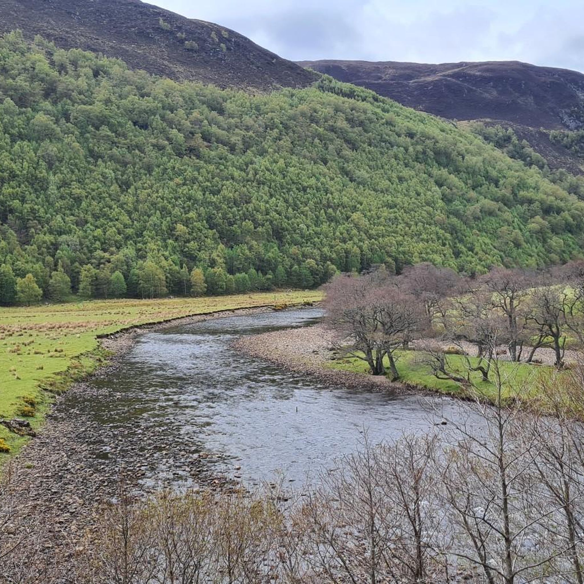
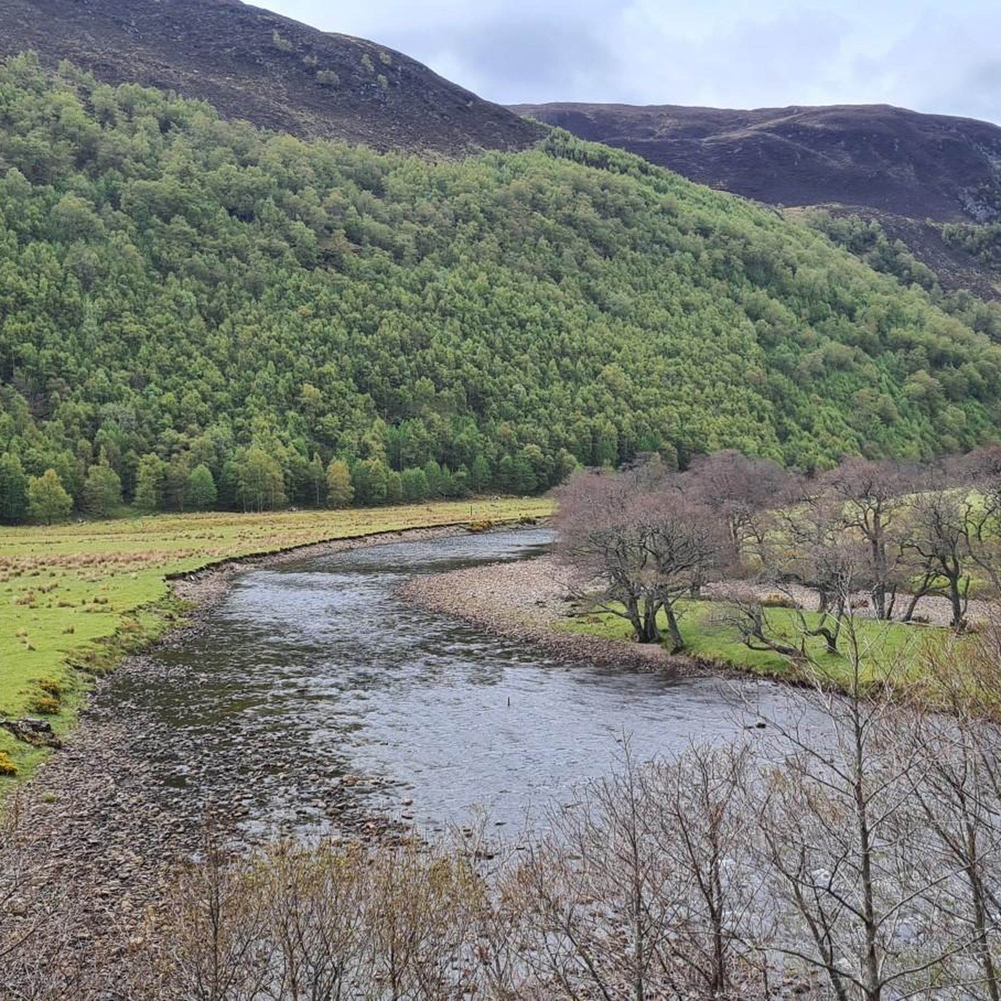
Touring cycling routes around Marybank, Scatwell And Strathconon traverse a landscape characterized by dramatic glens, winding rivers, and numerous lochs within the Scottish Highlands. The region offers a network of routes that pass through scenic countryside and past natural features such as dams and waterfalls. Cyclists can expect varied terrain, including well-paved roads and some unpaved sections, with elevation gains ranging from gradual to significant.
Best touring cycling routes around Marybank, Scatwell And Strathconon
- The most popular touring cycling route is Loch na Crann (Lake of the Trees) – Rogie Falls loop from Strathpeffer, a 25.2 miles (40.6 km) trail that takes 3 hours 55 minutes to complete. This difficult route includes significant elevation gain and passes by Rogie Falls.
- Another top favourite among local touring cyclists is Meig Dam – Contin Village Store loop from Strathpeffer, a moderate 18.5 miles (29.7 km) path. This route features views of Loch Meig and passes through village areas.
- Local touring cyclists also love the Orrin Dam – Loch Glascarnoch Dam loop from Cùl Beag, an 11.2 miles (18.1 km) trail leading through areas with prominent lochs and dams, often completed in about 1 hour 11 minutes.
- Touring cycling around Marybank, Scatwell And Strathconon is defined by deep glens, expansive lochs, and rolling hills, with routes offering options for various ability levels.
- The routes in Marybank, Scatwell And Strathconon are highly rated by the komoot community with an average score of 4.6 stars from over 70 reviews. More than 1300 touring cyclists have used komoot to explore Marybank, Scatwell And Strathconon's varied terrain.
Last updated: August 4, 2026
22
riders
40.6km
03:56
670m
670m
Hard bike ride. Very good fitness required. Mostly paved surfaces. Suitable for all skill levels.
5.0
(2)
21
riders
29.7km
01:51
260m
260m
Moderate bike ride. Good fitness required. Mostly paved surfaces. Suitable for all skill levels.

Sign up for free
16
riders
44.8km
03:32
500m
500m
Hard bike ride. Very good fitness required. You may need to push your bike for some segments of this route.
5.0
(1)
12
riders
35.6km
02:30
360m
360m
Moderate bike ride. Good fitness required. Mostly paved surfaces. Suitable for all skill levels.
5
riders
23.1km
02:00
370m
370m
Moderate bike ride. Good fitness required. Mostly paved surfaces. Suitable for all skill levels.
Get access to more routes and recommendations from other explorers.
Sign up for free
Already have an account?
Our route recommendations are based on thousands of hikes, rides, and runs completed by other people on komoot.
Start today with a free account
Your next adventure awaits.
Login or Signup
Popular around Marybank, Scatwell And Strathconon
The Faultline Trail — Scotland tip to tip
Great North Trail — From the Pennine Hills to the tip of Scotland
Hiking around Marybank, Scatwell And Strathconon
Road Cycling Routes around Marybank, Scatwell And Strathconon
Running Trails around Marybank, Scatwell And Strathconon
MTB Trails around Marybank, Scatwell And Strathconon

Gravel biking around Marybank, Scatwell And Strathconon
Other adventures around Marybank, Scatwell And Strathconon


Tips from the Community


Meig dam was built in 1957 as part of a series of post-war infrastructure projects led by the North of Scotland Hydro-Electric Board (NoSHEB). The reservoir is part of the Conon Hydro Scheme.
0
0

Loch na Crann is a very small loch in Highland at an elevation of approximately 118 metres. The shoreline of Loch na Crann is approximately 1,357 kilometres around and the depth of Loch na Crann is relatively shallow. Loch na Crann is a freshwater loch.
1
0
At Rogie Falls there are a number of lovely walks along the Black Water, which take you to the waterfall which is famous for its salmon. This beautiful spot is situated on the main road to Ullapool, just over a mile north-west of the village of Contin. It offers several good woodland walks. There are many marked walks and seating at a lookout point overlooking the falls.
2
0

Open: Mon - Fri: 6am - 7pm Sat: 8am - 5pm Sun: 8am - 4pm Hot drinks, filled pies and all sorts of Scottish delicacies😉limited fresh fruit & veg
0
0


Nice campsite with a shop next door. There’s a laundry which you can buy tokens to use - not cheap but does a good job. It’s a lovely riverside spot but obviously this means midges in the summer.
0
0
Frequently Asked Questions
What is the general terrain like for touring cycling in Marybank, Scatwell And Strathconon?
The region offers a diverse landscape for touring cyclists, characterized by dramatic glens, winding rivers, and numerous lochs within the Scottish Highlands. You'll find a mix of well-paved roads and some unpaved sections, with elevation gains ranging from gradual to significant, catering to various fitness levels. Routes often feature picturesque views of the surrounding hills and distant peaks like Ben Wyvis.
How many touring cycling routes are available in Marybank, Scatwell And Strathconon?
There are over 100 touring cycling routes available in Marybank, Scatwell And Strathconon. These routes vary in difficulty, with approximately 20 easy, 50 moderate, and 38 difficult options to choose from.
Are there any easy touring cycling routes suitable for beginners in the area?
Yes, the region offers several easy touring cycling routes. For instance, an easy road ride could be a 43.1km loop from Muir of Ord to Inverness Castle. While not explicitly listed as easy in the guide data, routes with lower elevation gains and shorter distances are available. Look for routes described as 'easy' in the komoot app, which typically have less elevation and shorter distances.
What kind of natural features and landmarks can I expect to see along the cycling routes?
Cyclists can enjoy a wealth of natural beauty and landmarks. You might pass impressive waterfalls like Rogie Falls, known for its salmon, or the Falls of Orrin. The routes often follow rivers like the Conon and pass significant lochs and dams, such as Loch Achonachie and the Meig Dam. You may also catch glimpses of distant mountain peaks like Fionn Bheinn Summit.
Are there any circular touring cycling routes in the Marybank, Scatwell And Strathconon area?
Yes, many touring cycling routes in the region are designed as loops. For example, the Loch na Crann (Lake of the Trees) – Rogie Falls loop from Strathpeffer is a popular circular route. Another option is the Meig Dam – Contin Village Store loop from Strathpeffer, offering scenic views and passing through village areas.
What is the best time of year to go touring cycling in this region?
The Scottish Highlands offer stunning scenery year-round, but for touring cycling, late spring to early autumn (May to September) generally provides the most favorable weather conditions. During autumn, the magical reflections of colors on the rivers and lochs are particularly beautiful. Be prepared for changeable weather, regardless of the season.
Are there any family-friendly touring cycling routes?
While specific 'family-friendly' routes are not explicitly detailed, the region offers routes with varying difficulties. Shorter, less elevated sections, particularly those on well-paved surfaces, would be most suitable for families. The Strathconon Glen itself offers a quiet single-track road, and a 15-mile (each way) segment to the Meig Dam has gradual elevation and good quality tarmac, which could be suitable for older children or more experienced family cyclists.
What do other touring cyclists say about their experience in Marybank, Scatwell And Strathconon?
The area is highly rated by the komoot community, with an average score of 4.6 stars from over 70 reviews. Cyclists often praise the deep glens, expansive lochs, and rolling hills, highlighting the varied terrain and the options available for different ability levels.
Where can I find parking for touring cycling routes near Marybank or Strathconon?
While specific parking locations are not detailed in the guide, popular starting points for routes, such as Muir of Ord or Strathpeffer, typically offer parking facilities. For routes heading into Strathconon Glen, you would generally find parking at the start of the glen or in nearby villages like Marybank. It's advisable to check local parking options for your chosen starting point.
Can I access touring cycling routes using public transport in the region?
Public transport access can vary. Larger towns and villages like Muir of Ord or Dingwall, which are often starting points for routes, are typically served by local bus or train services. However, access to more remote parts of glens like Strathconon might be limited. Planning your route with public transport connections in mind is recommended.
Are there any challenging touring cycling routes for experienced riders?
Absolutely. For those seeking a more challenging experience, the region offers difficult routes with significant elevation gains. An example is the Forest Path – Dingwall Museum loop from Strathpeffer, which covers 44.8 km with nearly 500m of elevation. More generally, a 102km loop from Muir of Ord to Loch Laide via St Mary's Eskadale is described as a hard road ride with 1,040m of elevation.
Are there opportunities to see wildlife while cycling in Marybank, Scatwell And Strathconon?
Yes, the region is rich in wildlife. Strathconon Estates, for example, is actively involved in nature restoration projects supporting species like Golden Eagle, Ptarmigan, Otter, Salmon, and Red Squirrel. While cycling, you might encounter these animals, especially in quieter, more remote sections of the glens and woodlands.
What are some of the notable lochs and dams I might encounter on a touring cycle?
You'll frequently encounter impressive water features. Key lochs include Loch Achonachie and Loch Meig, both associated with dams. The Orrin Dam – Loch Glascarnoch Dam loop from Cùl Beag specifically highlights these significant water bodies. The River Conon also features prominently, with routes often following its course.
Most popular routes around Marybank, Scatwell And Strathconon
Most popular attractions around Marybank, Scatwell And Strathconon

Get inspired with the komoot mobile app


Explore more
Browse the best Cycling routes in other regions.
