The best road cycling routes around Thornliebank
4.4
(452)
17,355
riders
534
rides
Road cycling around Thornliebank, situated within East Renfrewshire, offers diverse landscapes for cyclists. The region features rolling hills and picturesque countryside, with elevations ranging from 25 to 370 meters. Natural features like Rouken Glen Park and the Auldhouse Burn contribute to the scenic backdrop. This area provides varied terrain suitable for different road cycling experiences.
Best road cycling routes around Thornliebank
- The most popular road cycling route is Whitelee Wind Turbines – White Loch loop from Giffnock, a 51.4…
Last updated: May 15, 2026
4.0
(3)
233
riders
82.7km
03:54
880m
880m
Moderate road ride. Good fitness required. Mostly well-paved surfaces and easy to ride.
5.0
(3)
162
riders
106km
05:07
1,070m
1,070m
Hard road ride. Very good fitness required. Mostly well-paved surfaces and easy to ride.

Sign up for free
4.8
(4)
75
riders
44.1km
02:16
450m
450m
Moderate road ride. Good fitness required. Mostly well-paved surfaces and easy to ride.
4.0
(1)
59
riders
57.5km
02:39
540m
540m
Moderate road ride. Good fitness required. Some segments of this route may be unpaved and difficult to ride.
70
riders
60.5km
02:51
530m
530m
Moderate road ride. Good fitness required. Mostly well-paved surfaces and easy to ride.
Get access to more routes and recommendations from other explorers.
Sign up for free
Already have an account?
Our route recommendations are based on thousands of hikes, rides, and runs completed by other people on komoot.
Start today with a free account
Your next adventure awaits.
Login or Signup
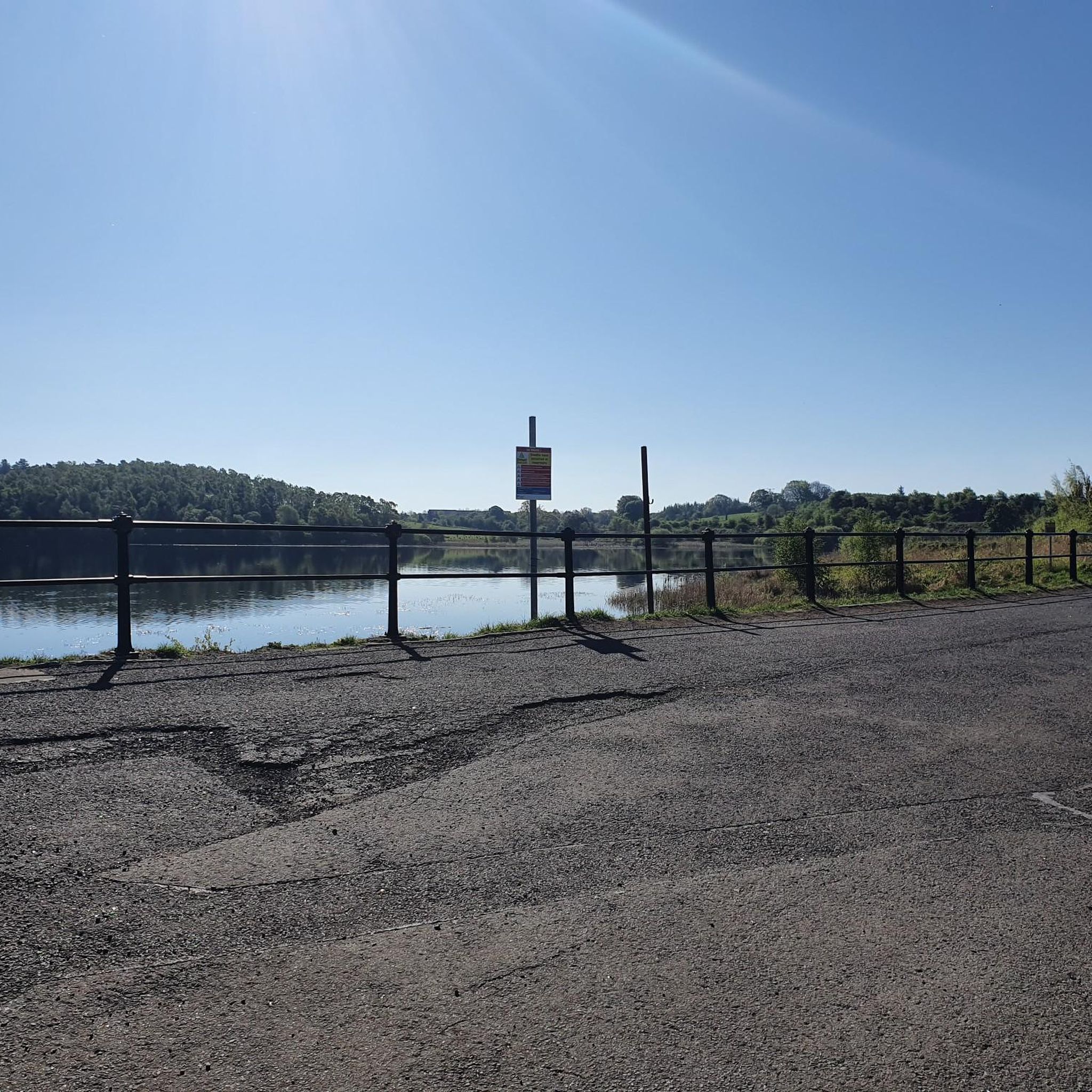
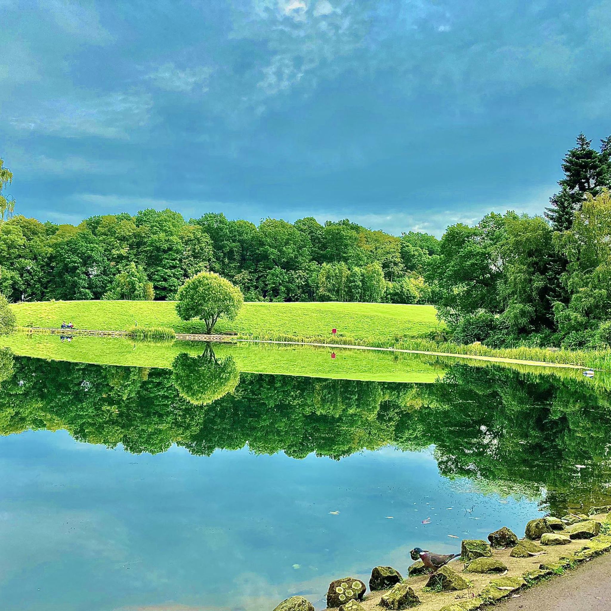
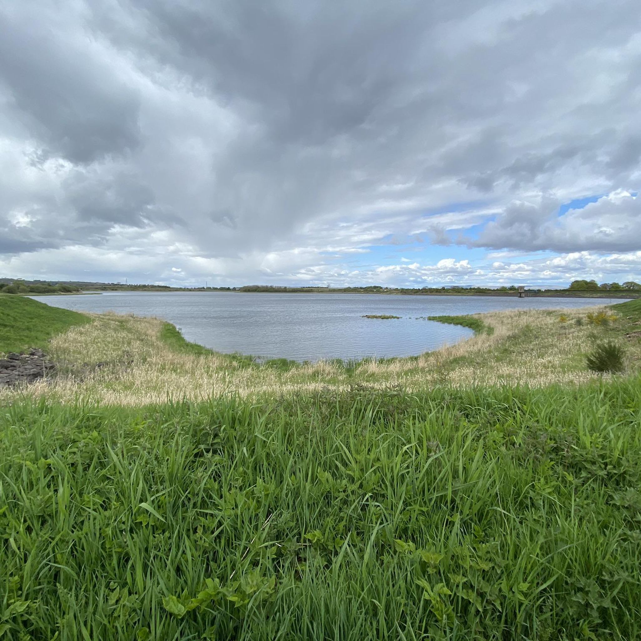
Tips from the Community

I Live in nearby Eaglesham - On the Whitlees Gravel most weeks 👌. Still making new routes - So many options. Various Entry / Departure points. Get hold of their Map - Because 1 Turbine looks just the other Hundred and how many 😉🚴🏽♂️Frenchie
0
0

It's good to escape here from a too busy world.
1
0

The visitor centre and cafe at Whitelee are a super good visit location for you and the family. It is educational, interesting, and it has a great cafe. In fact, it is fascinating to hear about the UK’s largest onshore wind farm. You can also hire bicycles here if you want to ride around the rather large wind farm complex.
2
0


Cyclist friendly cafe with good food the ginger tray bake is to die for!
0
0

A good amount of uphill ride, but nice and very doable.
0
0
Frequently Asked Questions
How many road cycling routes are available around Thornliebank?
There are over 540 road cycling routes available around Thornliebank, catering to various skill levels. This includes 233 easy routes, 263 moderate routes, and 48 challenging routes for experienced cyclists.
What kind of terrain can I expect on road cycling routes near Thornliebank?
Road cycling around Thornliebank offers diverse terrain, characterized by rolling hills and picturesque countryside. Elevations typically range from 25 to 370 meters, providing options from gentle climbs to more challenging ascents. You'll find quiet country roads and scenic rural paths.
Are there challenging road cycling routes for experienced riders?
Yes, Thornliebank offers several challenging routes. For instance, the Heron Café – Millhall Bridge loop from Patterton is a difficult 106 km path with significant elevation gain. The region's 'Barrhead Hills Route' also features steeper gradients and panoramic vistas for those seeking a test.
Are there easy road cycling routes suitable for beginners?
Absolutely. Thornliebank has over 230 easy road cycling routes. The 'Clarkston Loop' is a good example, approximately 25 km long, taking cyclists through the rural scenery surrounding Eaglesham Moor with gentle climbs, making it suitable for those newer to road cycling.
Are there many circular road cycling routes around Thornliebank?
Yes, many of the road cycling routes in the area are circular loops. Examples include the Whitelee Wind Turbines – White Loch loop from Giffnock and the Scenic Rural Road – Clunch Road Hill Climb loop from Patterton. The 'Giffnock Circular' is another popular option, utilizing quiet country roads.
What scenic viewpoints or natural features can I see while road cycling?
You can enjoy various scenic views and natural features. Routes often pass through areas with views over Eaglesham Moor, green spaces near Rouken Glen Park, and vistas across Strathclyde Country Park. The Auldhouse Burn also adds to the natural charm. You might also encounter highlights like Corsehouse Reservoir or Balgray Reservoir.
Are there any waterfalls accessible near road cycling routes?
Yes, the region is home to picturesque waterfalls. While Rouken Glen Park itself features waterfalls, you can also find natural monuments like Craigie Linn Waterfall and Linn Park Waterfall in the broader area, which can be incorporated into or visited near your cycling adventures.
What do other cyclists say about road cycling in Thornliebank?
The road cycling routes around Thornliebank are highly rated by the komoot community, with an average score of 4.4 stars from over 400 reviews. Cyclists often praise the varied terrain, the picturesque countryside, and the well-maintained roads that offer options for all ability levels.
Are there family-friendly road cycling options in Thornliebank?
Yes, the improved cycling infrastructure, including dedicated lanes and cycle paths, makes the area more accessible for families. Routes with gentler climbs, such as the 'Clarkston Loop', are suitable for family outings, allowing everyone to enjoy the scenic countryside safely.
Where can I park my car to access road cycling routes in Thornliebank?
Parking is generally available at various points around Thornliebank, especially near popular starting points for routes. Specific parking information can often be found on individual route pages or by checking local council websites for public car parks in areas like Giffnock or Patterton, which are common starting points for many routes.
Can I access road cycling routes near Thornliebank using public transport?
Thornliebank's location within the Greater Glasgow conurbation means it has good public transport links. You can often reach starting points for routes via local bus services or train stations in nearby towns like Giffnock or Patterton, making it convenient to access the cycling network without a car.
What is the best time of year for road cycling in Thornliebank?
The best time for road cycling in Thornliebank is typically during the spring, summer, and early autumn months (April to October). During these periods, the weather is generally milder, and the countryside is at its most vibrant, offering the most pleasant conditions for exploring the rolling hills and scenic routes.
Most popular routes around Thornliebank
Most popular attractions around Thornliebank

Get inspired with the komoot mobile app


Explore more
Browse the best Road cycling routes in other regions.
