The best mountain hikes around Milngavie
7
hikers
3
hikes
Mountaineering routes around Milngavie offer access to diverse landscapes, from rolling hills to the fringes of the Scottish Highlands. The region is characterized by its proximity to the Kilpatrick Hills and Campsie Fells, providing varied elevation and terrain. Numerous lochs and woodlands, including Mugdock Country Park, contribute to the natural environment. Milngavie serves as a gateway to more extensive mountain ranges, including those within Loch Lomond & The Trossachs National Park.
Best mountaineering routes around Milngavie
- The most popular mountaineering…
Last updated: November 7, 2026
4
hikers
Easy mountaineering route. Easily walkable paths.
2
hikers
11.3km
03:40
450m
450m
Moderate mountaineering route. Good fitness required. Easily walkable paths.

1
hikers
Moderate mountaineering route. Good fitness required. Easily walkable paths.
Our route recommendations are based on thousands of hikes, rides, and runs completed by other people on komoot.
Start today with a free account
Your next adventure awaits.
Popular around Milngavie
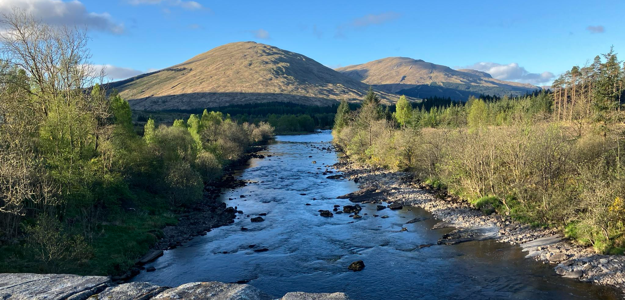
Running the West Highland Way – Scotland's Great Trails
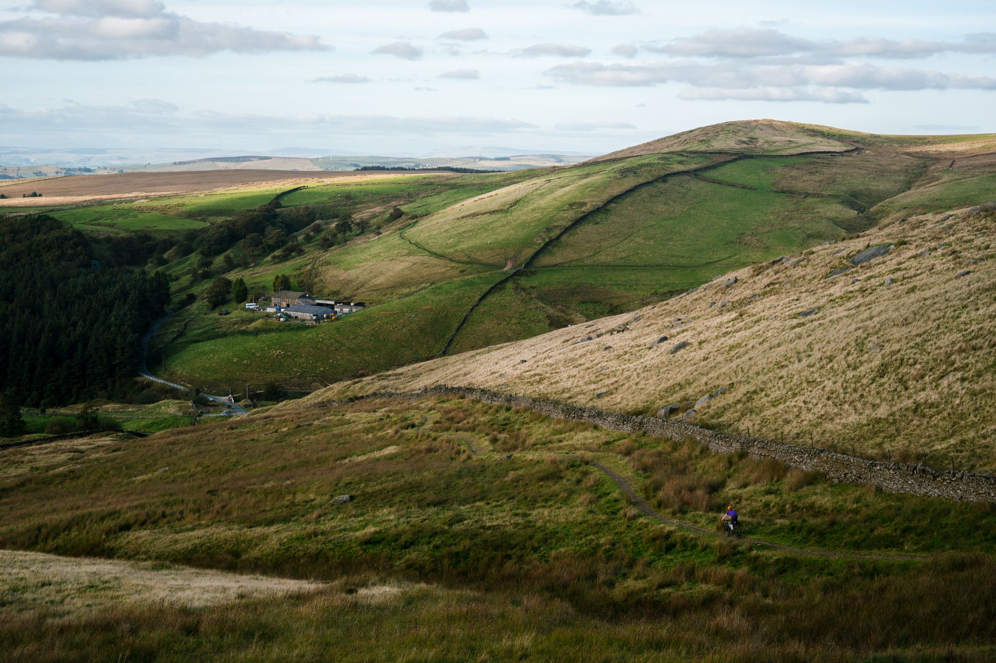
Great North Trail — From the Pennine Hills to the tip of Scotland
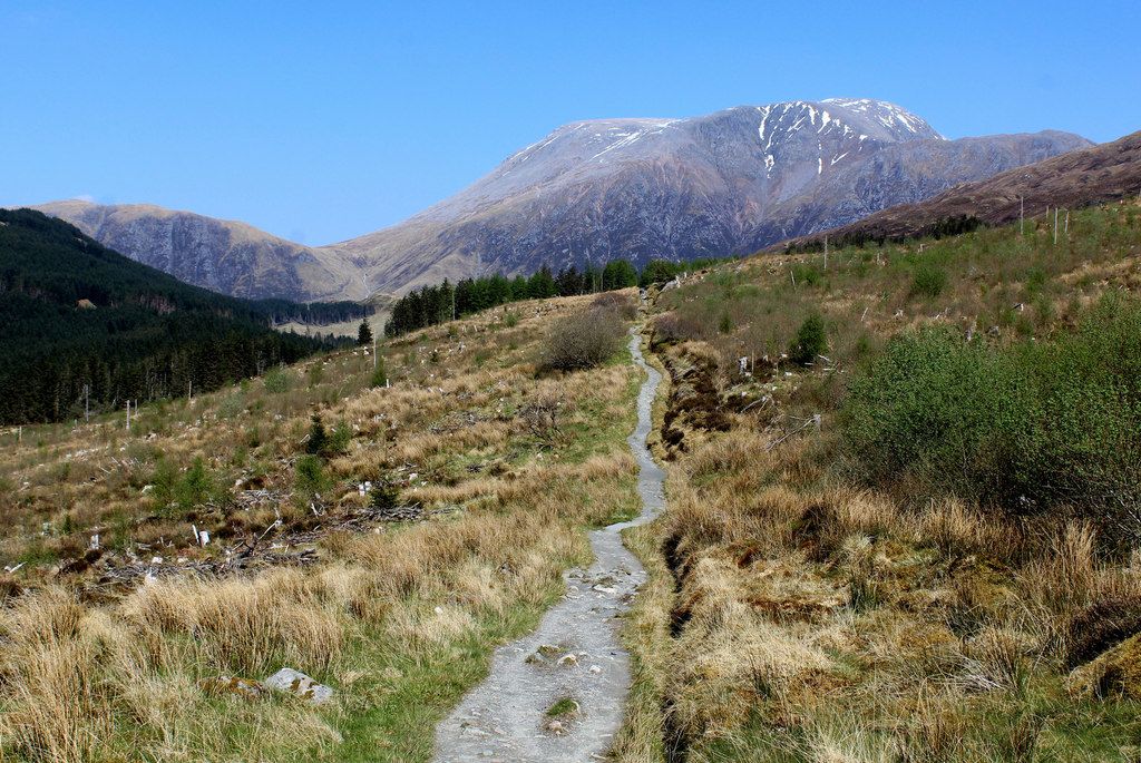
West Highland Way – Mountain biking
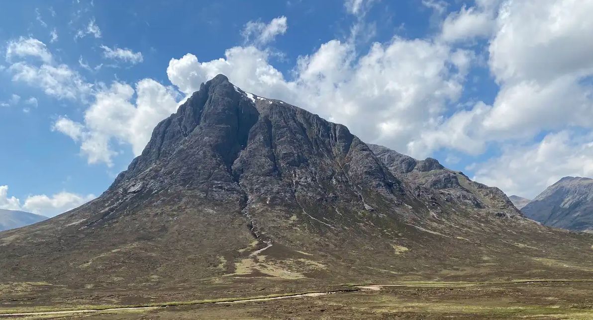
West Highland Way — Hike Scotland's most iconic long distance trail
Walk Britain – 90 car-free adventures in England, Wales and Scotland
West Highland Way: 7 Tage durch die Schottischen Highlands

Running Trails around Milngavie

Hiking around Milngavie

Cycling around Milngavie

MTB Trails around Milngavie


Tips from the Community

The Cort-ma-Law Summit is located in the Campsie Fells north of Glasgow. The ascent leads through open, partly boggy moorland and rewards with a wide panoramic view over the rolling hills and valleys of the surrounding area. In clear weather, the view extends far beyond the Central Lowlands and up to the distinctive mountains of the Highlands.
0
0

Nice view at the top, the decent is not too hard. Keep in mind that when it has rained recently the ground will be muddy.
2
0
Fun little hike, doable with kids and dogs. If you like free climbing you can also climb a bit in the rocks, but ofcourse be carefull with that.
1
0

Great wee walk and easy for first timers.
0
0


Great view from the northern slopes of Auchineden Hill out over Loch Lomond to the Highlands beyond.
0
0

Treacherous road surface and lots of traffic on the Weekends. But the view is definitely worth it - especially if approaching from the South
0
0

There must be some sort of metal below ground as my two compasses were off!
0
0
Frequently Asked Questions
How many mountaineering routes are available around Milngavie?
There are currently 3 mountaineering routes detailed around Milngavie, offering a mix of easy and moderate challenges. These routes provide excellent opportunities to explore the Kilpatrick Hills and Campsie Fells.
What kind of terrain can I expect on mountaineering routes near Milngavie?
Mountaineering routes around Milngavie feature diverse terrain, from rolling hills and woodlands to more rugged ascents in areas like the Kilpatrick Hills and Campsie Fells. You'll encounter varied paths, some leading to panoramic viewpoints over the surrounding Scottish landscape.
Are there any easy mountaineering routes suitable for beginners?
Yes, for those new to mountaineering or looking for a less strenuous option, consider the Auchineden Hill Trig Point – The Whangie Rock Formation loop from Queen's View. This easy 4.7 km route takes about 1 hour 26 minutes and offers distinctive rock formations and great views.
Which routes offer the best views of the surrounding area?
For expansive views, the Crichton's Cairn – View of Glasgow from Crow Road loop from Lennoxtown is an excellent choice, providing stunning vistas towards Glasgow. Additionally, the Auchineden Hill Trig Point – The Whangie Rock Formation loop from Queen's View offers panoramic views, including towards Loch Lomond and the Campsie Fells from The Whangie.
Are there any circular mountaineering routes around Milngavie?
Yes, all the featured mountaineering routes around Milngavie are circular. This includes the Auchineden Hill Trig Point – The Whangie Rock Formation loop from Queen's View, the Crichton's Cairn – View of Glasgow from Crow Road loop from Lennoxtown, and the View of the Campsie Fells loop from Clachan of Campsie, allowing you to start and finish at the same point.
What are some notable landmarks or natural features I might encounter on these routes?
You'll find several interesting features. The Auchineden Hill Trig Point – The Whangie Rock Formation loop from Queen's View takes you past the unique Whangie Rock Formation. Nearby, you can also explore Mugdock Castle within Mugdock Country Park, or the serene Craigallian Loch.
Is Milngavie a good starting point for longer mountaineering adventures?
Milngavie is famously the official starting point of the West Highland Way, an iconic long-distance trail that stretches 154 kilometers to Fort William. While the routes listed here are shorter, Milngavie's location makes it an excellent gateway for more ambitious treks into the wider Scottish Highlands and Loch Lomond & The Trossachs National Park.
What is the typical duration for these mountaineering routes?
The duration varies by route and your pace. The easy Auchineden Hill Trig Point – The Whangie Rock Formation loop typically takes around 1 hour 26 minutes. Moderate routes like the View of the Campsie Fells loop can take about 3 hours 3 minutes, while the Crichton's Cairn – View of Glasgow from Crow Road loop is closer to 3 hours 39 minutes.
What are the elevation gains like on these routes?
The elevation gains vary depending on the route's difficulty. The easy Auchineden Hill Trig Point – The Whangie Rock Formation loop has an elevation gain of approximately 167 meters. For moderate routes, you can expect climbs of around 370 meters for the View of the Campsie Fells loop and about 452 meters for the Crichton's Cairn – View of Glasgow from Crow Road loop.
What do other mountaineers say about the routes around Milngavie?
The mountaineering routes around Milngavie are appreciated by the komoot community for their diverse landscapes and rewarding views. Users often highlight the accessibility to areas like the Kilpatrick Hills and Campsie Fells, and the unique natural features such as The Whangie.
Are there any opportunities for more advanced mountaineering or climbing near Milngavie?
While the routes listed here are easy to moderate, Milngavie is home to an active Mountaineering Club whose members engage in more advanced activities like Munro and Corbett bagging, scrambling, rock climbing, and winter climbs across the wider Scottish mountains. The region serves as a gateway to the more challenging terrain of the Scottish Highlands.
Most popular routes around Milngavie
Most popular attractions around Milngavie

Get inspired with the komoot mobile app


Explore more
Browse the best Mountain Hikes & Routes in other regions.
