The best road cycling routes around Kirkintilloch
4.4
(289)
11,917
riders
13
rides
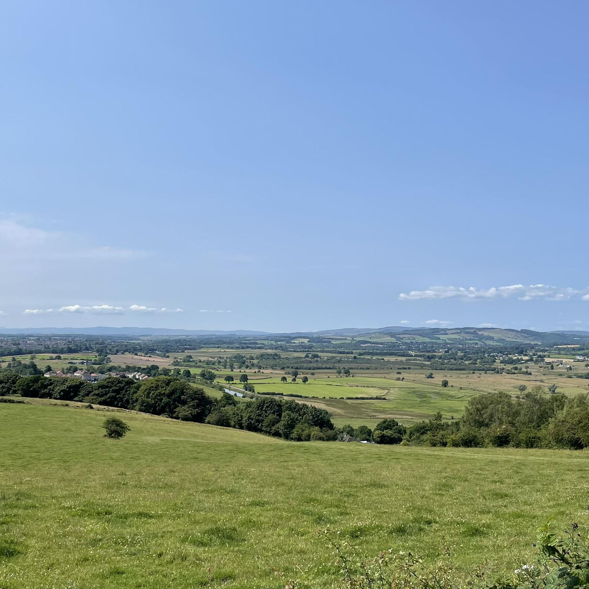
Road cycling around Kirkintilloch offers a diverse landscape, combining flat, traffic-free canal paths with challenging hill climbs in the nearby Campsie Fells. The region is characterized by its extensive network of cycle paths, including sections of the Forth & Clyde Canal and the Strathkelvin Railway Path. Cyclists can explore historical sites along the Antonine Wall and enjoy views of the Luggie Water, providing varied terrain for different fitness levels.
Best road cycling routes around Kirkintilloch
- The most popular road cycling route is Café Sonas Bistro – Killearn Kirk loop from Kirkintilloch, a 33.1 miles (53.3 km) trail that takes 2 hours 20 minutes to complete. This moderate route features significant elevation gain and passes through varied rural scenery.
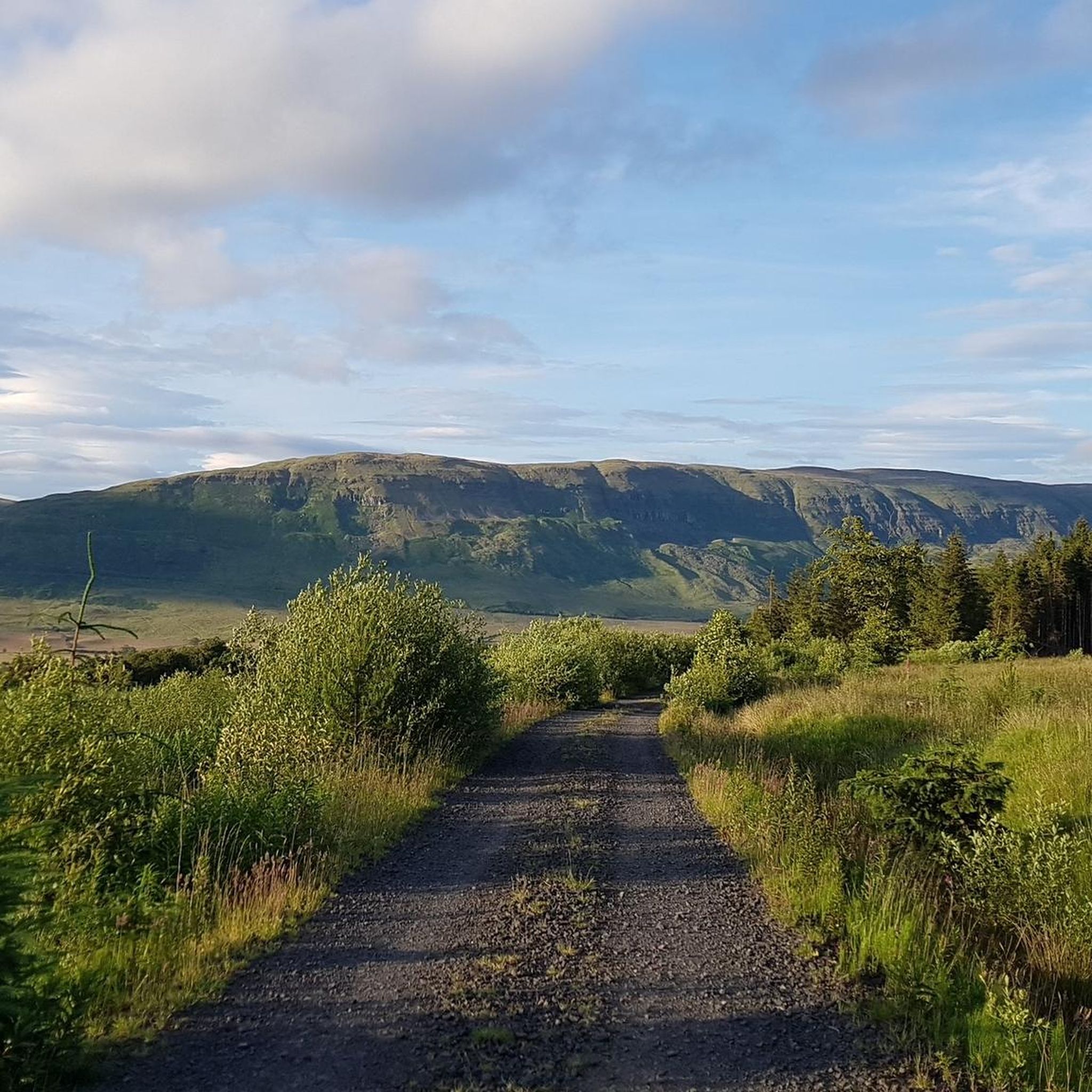
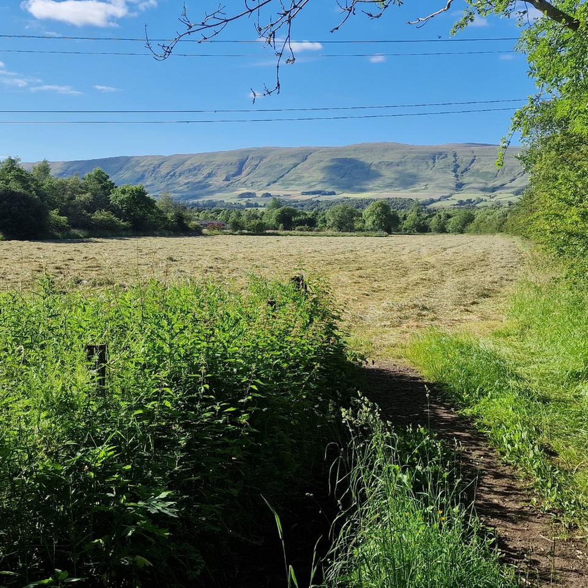
- Another top favourite among local road cyclists is View of the Mountains – Milton of Campsie Tunnel loop from Kirkintilloch, an easy 16.7 miles (26.9 km) path. This route offers views towards the Campsie Fells and includes a section along the Strathkelvin Railway Path.
- Local road cyclists also love the Auchinstarry Quarry – Lock 18 loop from Kirkintilloch, an 18.8 miles (30.2 km) trail leading through canal-side landscapes and past historical industrial sites, often completed in about 1 hour 18 minutes.
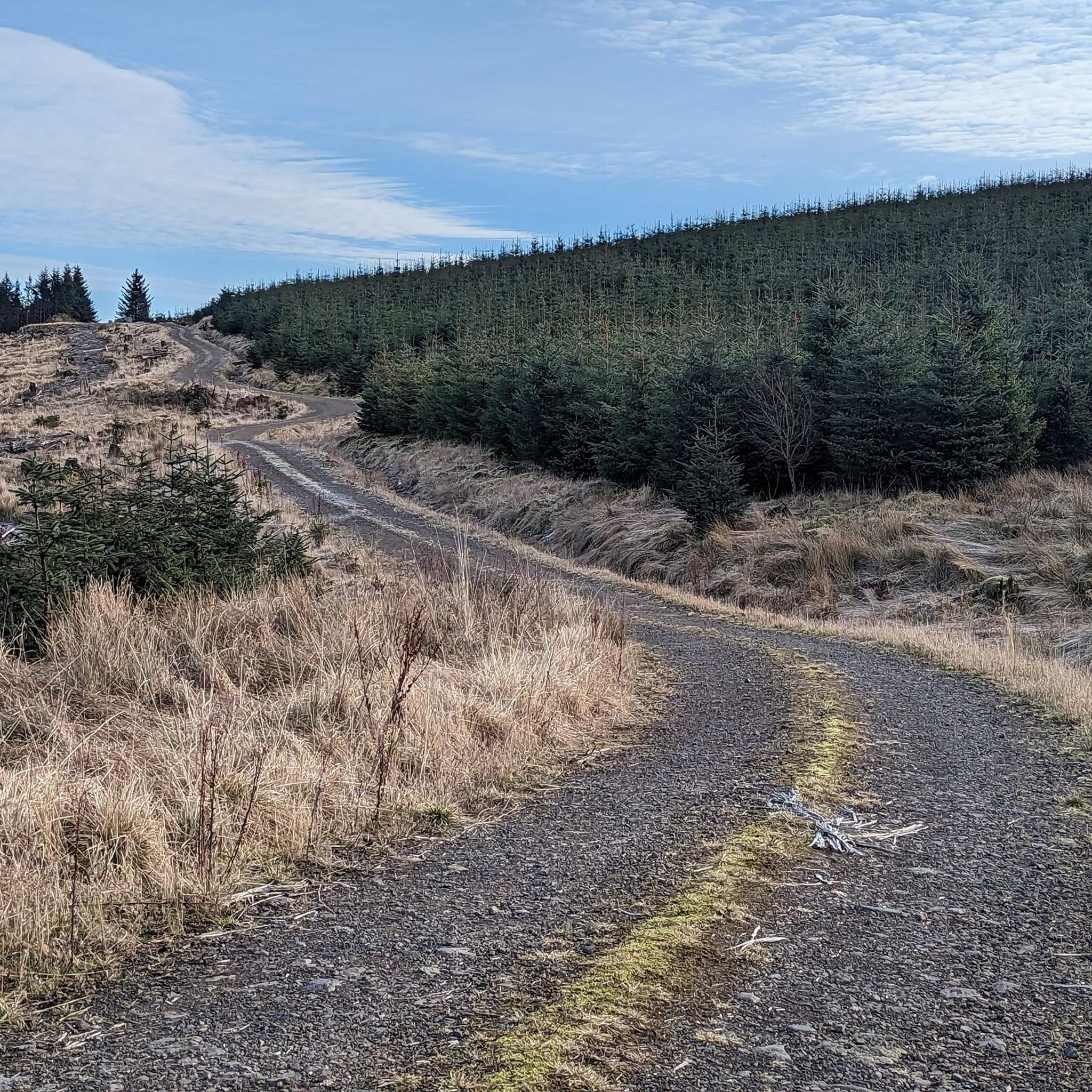
- Road cycling around Kirkintilloch is defined by the flat towpaths of the Forth & Clyde Canal, the challenging hills of the Campsie Fells, and the traffic-free Strathkelvin Railway Path. The network offers options for different ability levels, from leisurely rides to more demanding ascents.
- The routes in Kirkintilloch are highly rated by the komoot community with an average score of 4.4 stars from over 240 reviews. More than 10,000 road cyclists have used komoot to explore Kirkintilloch's varied terrain.
Last updated: May 9, 2026
83
riders
54.6km
02:24
420m
420m
Moderate road ride. Good fitness required. Mostly well-paved surfaces and easy to ride.
5.0
(1)
66
riders
26.9km
01:06
140m
140m
Easy road ride. Great for any fitness level. Mostly well-paved surfaces and easy to ride.

Sign up for free
25
riders
30.2km
01:17
120m
120m
Easy road ride. Great for any fitness level. Mostly well-paved surfaces and easy to ride.
21
riders
19.9km
00:51
110m
110m
Moderate road ride. Great for any fitness level. Some segments of this route may be unpaved and difficult to ride.
4.3
(3)
5
riders
17.9km
00:46
110m
110m
Easy road ride. Great for any fitness level. Mostly well-paved surfaces and easy to ride.
Get access to more routes and recommendations from other explorers.
Sign up for free
Already have an account?
Our route recommendations are based on thousands of hikes, rides, and runs completed by other people on komoot.
Start today with a free account
Your next adventure awaits.
Login or Signup
Tips from the Community

It’s actually called Turnip the Beet! Nice stuff here. Can be tourist busy
0
0

Nice coffee and sandwiches with vegan friendly options and outdoor seating
0
0

Super cafe stop, all day breakfasts, snacks and coffee & cakes!
0
0

Great way to get across Southern Scotland, nice and flat although some parts can get very bumpy with tree roots
0
1


Join the trail behind McDonald’s and it runs alongside the river all the way up to Milton of Campsie/ Lennoxtown/ Campsie Hills and further on. Lovely picturesque journey!
0
0

Frequently Asked Questions
How many road cycling routes are available around Kirkintilloch?
There are over a dozen road cycling routes around Kirkintilloch, catering to various skill levels. The komoot community has mapped 13 distinct routes, with 8 classified as easy and 5 as moderate.
Are there easy or beginner-friendly road cycling routes in Kirkintilloch?
Yes, Kirkintilloch offers several easy routes, particularly along the traffic-free Forth & Clyde Canal towpaths and the Strathkelvin Railway Path. These are ideal for beginners or those seeking a relaxed ride. An example is the View of the Mountains – Milton of Campsie Tunnel loop from Kirkintilloch, an easy 16.7-mile path that offers views towards the Campsie Fells.
What kind of challenging road cycling routes can I find near Kirkintilloch?
For more challenging rides, the nearby Campsie Fells provide significant climbs and rewarding panoramic views. Routes in this area often feature steep ascents like the 'Tak-Ma-Doon Road' and the 'Crow Road'. The Café Sonas Bistro – Killearn Kirk loop from Kirkintilloch is a moderate 33.1-mile route with over 400 meters of elevation gain, offering varied rural scenery.
Are there any circular road cycling routes in the Kirkintilloch area?
Yes, many of the road cycling routes around Kirkintilloch are designed as loops, allowing you to start and finish in the same location. Examples include the Auchinstarry Quarry – Lock 18 loop from Kirkintilloch, which is an 18.8-mile trail through canal-side landscapes, and the Hungryside Bridge – The Stables loop from Kirkintilloch, an easy 26 km route.
What natural features or attractions can I see along the road cycling routes?
Road cycling routes in Kirkintilloch offer diverse scenery. You can ride along the Forth & Clyde Canal, which passes through scenic spots like the Kelvin Aqueduct and Dumbreck Nature Reserve. The Campsie Fells provide dramatic backdrops and panoramic views. Further afield, the Carron Valley Reservoir offers pleasant cycling alongside the loch. You might also encounter the Luggie Water, which flows through Kirkintilloch.
Are there historical landmarks to explore while road cycling?
Yes, history enthusiasts can combine their rides with visits to sites along the Antonine Wall, a UNESCO World Heritage Site. Roman forts such as Croy Hill Roman Fort and the former fort in Peel Park offer historical intrigue. Peel Park itself provides stunning views over the surrounding landscape, including the Campsie Fells.
What do other road cyclists enjoy most about road cycling in Kirkintilloch?
The area is highly rated by the komoot community, with an average score of 4.4 stars from over 240 reviews. Cyclists often praise the diverse landscape, which combines flat, traffic-free canal paths with challenging hill climbs in the nearby Campsie Fells, offering something for every fitness level.
Are there any waterfalls accessible from road cycling routes?
Yes, while cycling in the wider area around Kirkintilloch, you can find natural attractions like the Colzium Waterfall, which can be a scenic stop on a longer ride.
What is the best time of year for road cycling in Kirkintilloch?
Kirkintilloch offers enjoyable road cycling throughout much of the year. Spring and summer provide pleasant weather for exploring the canal paths and Fells. Autumn brings beautiful foliage, while some routes, particularly the traffic-free towpaths, can still be enjoyed in milder winter conditions.
Are there options for long-distance road cycling routes from Kirkintilloch?
Yes, the Forth & Clyde Canal towpath is part of National Cycle Network Routes 7 and 754. Cyclists can follow the towpath from Bowling to Falkirk, linking up with the Union Canal for a route across central Scotland from Glasgow to Edinburgh, offering significant long-distance potential.
Where can I find more information about cycling infrastructure in East Dunbartonshire?
For additional information on cycling and walking paths in the wider East Dunbartonshire area, you can visit the local council's website: eastdunbarton.gov.uk.
Most popular routes around Kirkintilloch
Most popular attractions around Kirkintilloch

Get inspired with the komoot mobile app


Explore more
Browse the best Road cycling routes in other regions.
