The best running trails around Dalwhinnie
4.4
(7)
431
runners
14
runs
Jogging routes around Dalwhinnie offer access to the dramatic mountain scenery of the western Cairngorms National Park. This region, known as the Highlands' highest village, features a varied trail network encompassing Loch Ericht, surrounding mountains, and the Coachan Forest. Runners can expect a mix of flat stretches along lochsides and challenging ascents into the hills and Munro summits. The terrain includes diverse paths, from accessible routes to demanding mountain treks with significant elevation gains.
Best jogging routes around Dalwhinnie
- The most popular jogging route is A’ Mharconaich and Beinn Udlamain Trail running loop — Cairngorms National Park, a 13.8 miles (22.2 km) trail that takes 3 hours 3 minutes to complete. This challenging route involves ascents to Munro summits, providing extensive views across moorlands.
- Another top favourite among local runners is Meall Chuaich loop from Dalwhinnie Distillery, a difficult 9.2 miles (14.8 km) path. This route often incorporates the picturesque Dalwhinnie Distillery and offers significant elevation gain.
- Local runners also love the Geal-charn loop from Creagan Mòr, a 4.6 miles (7.4 km) trail leading through mountainous terrain, often completed in about 1 hour 21 minutes.
- Jogging around Dalwhinnie is defined by lochside paths, mountain ascents, and forest trails. The network offers options for various ability levels, from moderate runs to demanding mountain challenges.
- The routes in Dalwhinnie are highly rated by the komoot community with an average score of 4.5 stars from over 6 reviews. More than 360 runners have used komoot to explore Dalwhinnie's varied terrain.
Last updated: October 31, 2026
4.0
(1)
28
runners
Hard run. Very good fitness required. Mostly paved surfaces.
76
runners
Hard run. Very good fitness required. Mostly paved surfaces.

12
runners
7.38km
01:19
480m
480m
Hard run. Very good fitness required. Sure-footedness, sturdy shoes and alpine experience required.
11
runners
8.76km
01:10
310m
310m
Hard run. Very good fitness required. Mostly paved surfaces.
10
runners
Moderate run. Good fitness required. Mostly paved surfaces.
Get access to more routes and recommendations from other explorers.
Already have an account?
Our route recommendations are based on thousands of hikes, rides, and runs completed by other people on komoot.
Start today with a free account
Your next adventure awaits.
Popular around Dalwhinnie
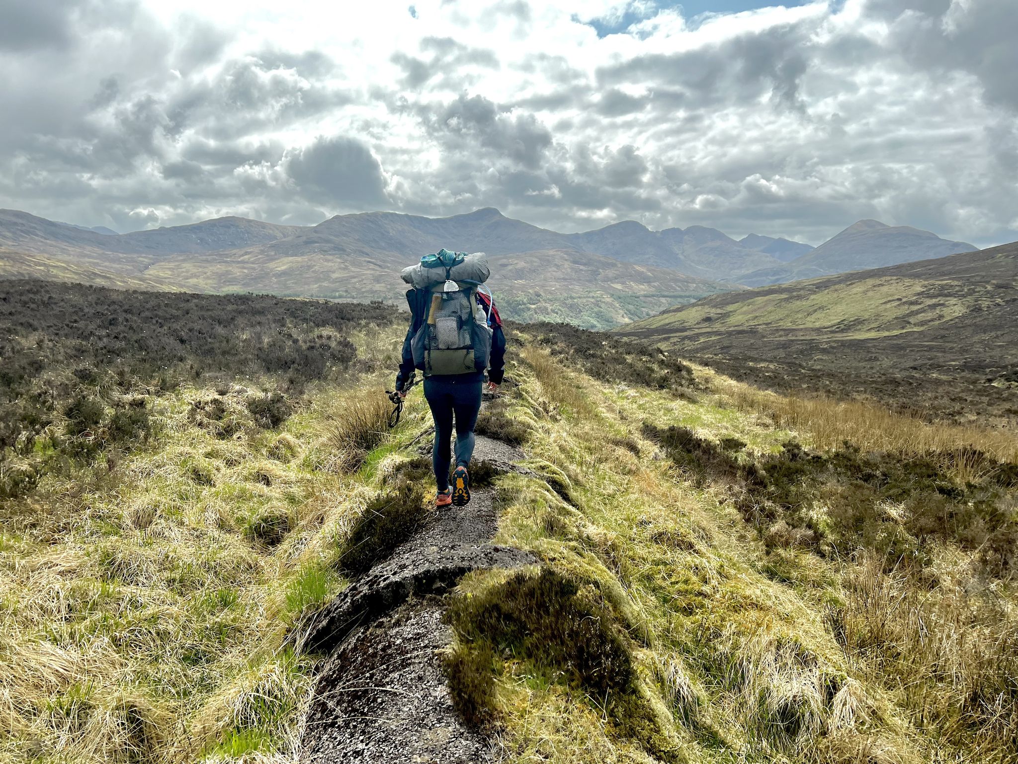
TGO Challenge 2023 – Coast to Coast: Oban to Montrose
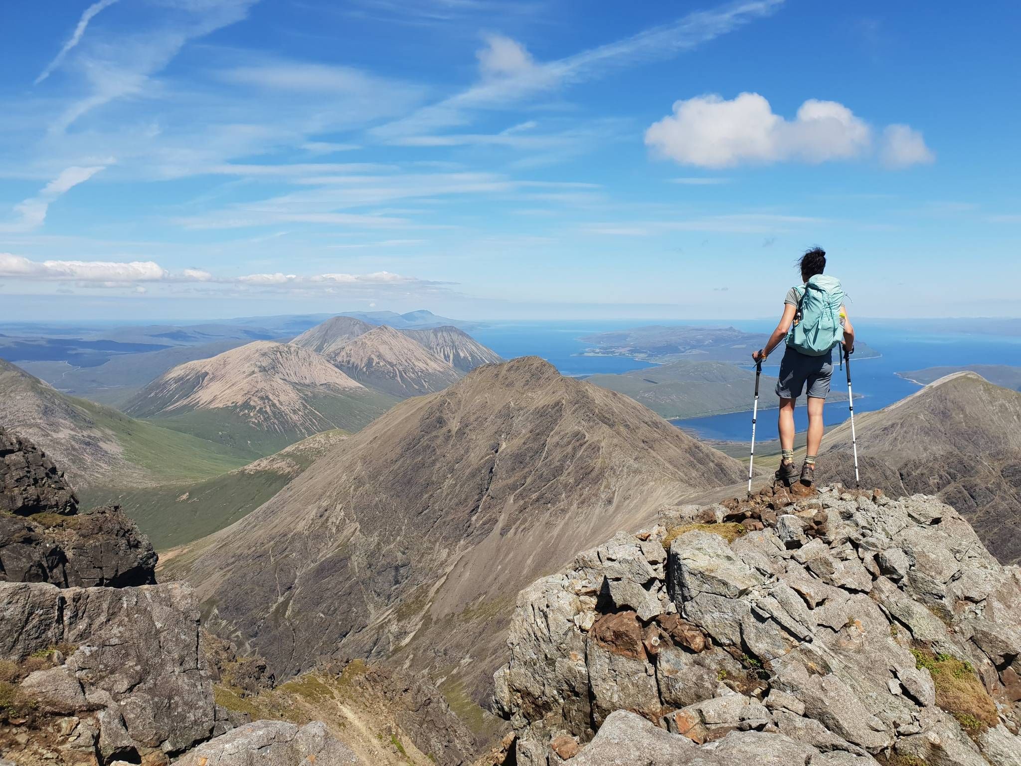
Hiking the 282 munro mountains of Scotland in 95 routes
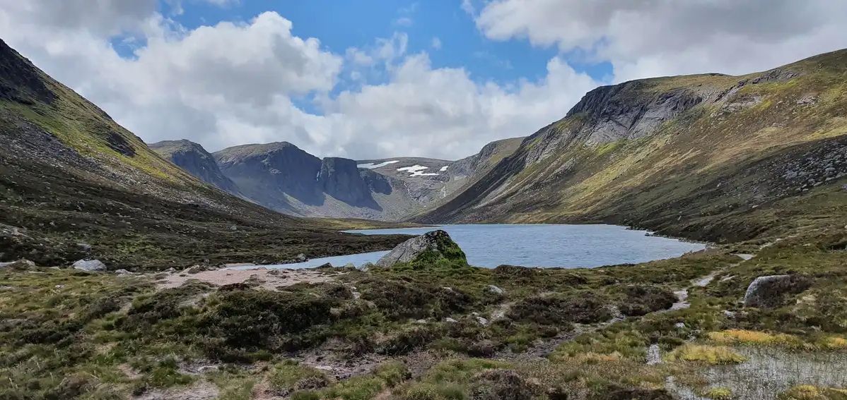
Explore vast mountain wilds — Cairngorms National Park

MTB Trails around Dalwhinnie

Cycling around Dalwhinnie

Hiking around Dalwhinnie

Gravel biking around Dalwhinnie

Road Cycling Routes around Dalwhinnie
Other adventures around Dalwhinnie


Tips from the Community

River Truim Crossing looks so peaceful and scenic, with lovely natural surroundings. Definitely a wonderful spot to relax, enjoy the views, and appreciate nature. https://www.mymilestonecard.io
0
0
Such a wonderful place! The atmosphere is beautiful, and you can really appreciate the charm and thoughtfulness behind it. It’s a great place to exchange knowledge https://www.myccpay.app and find inspiration!
0
0

Rounded hill to the east of Drummochter, but good views to the west.
0
0

The stone and plaque were unveiled on June 5, 2015.
2
0


Fun geographical fact. The surroundings are not very special.
0
0

Enjoy the view from this lone Cairngorms outlier over to Ben Macdui (whilst you eat your sarnies sheltered from the wind behind the huge summit cairn!)
1
0

You will have a stunning view over the highlands. Wearing hiking boots is recommended! Could also be very windy on the top ;)
0
0
Frequently Asked Questions
How many running trails are available around Dalwhinnie?
Dalwhinnie offers a diverse network of over 14 running trails. These routes cater to various preferences, from moderate jogs to challenging mountain runs, all set within the dramatic scenery of the western Cairngorms National Park.
Are there easy running routes suitable for beginners in Dalwhinnie?
While many routes in Dalwhinnie involve significant elevation, there are options for beginners. The area features accessible paths, including some mostly paved surfaces, suitable for shorter distances and those new to trail running. Look for routes categorized as 'easy' or 'moderate' for a less strenuous experience.
What kind of terrain can I expect on Dalwhinnie's running routes?
The terrain around Dalwhinnie is highly varied. You can expect a mix of lochside paths offering flat stretches, forest trails through Coachan Forest, and more demanding ascents into the surrounding mountains and Munro summits. Some areas, particularly in the Drumochter Pass, can be rough and boggy, promising rewarding vistas for those tackling hill runs.
What challenging trail running options are available for experienced runners?
For experienced runners seeking a challenge, Dalwhinnie offers several demanding routes. One notable option is the A’ Mharconaich and Beinn Udlamain Trail running loop, which is 13.8 miles (22.2 km) and involves ascents to Munro summits, providing extensive views across moorlands. These routes often feature significant elevation gains and require good fitness.
Can I find circular jogging routes in the Dalwhinnie area?
Yes, Dalwhinnie provides several circular jogging routes. For example, the Geal-charn loop from Creagan Mòr is a 4.6-mile (7.4 km) trail that takes you through mountainous terrain in a loop. Many other trails are designed as loops, allowing you to start and finish at the same point.
What natural features or landmarks can I see while jogging around Dalwhinnie?
Jogging routes in Dalwhinnie offer stunning natural features and landmarks. You can run along the beautiful Loch Ericht, explore the extensive mountain wilds of the Cairngorms National Park, or pass through Coachan Forest. Many trails also lead to impressive summits like A' Mharconaich Summit and Beinn Udlamain Summit, offering panoramic views.
Are there any running routes that pass by the Dalwhinnie Distillery?
Yes, the picturesque Dalwhinnie Distillery is a prominent local landmark often incorporated into local running routes. A popular option is the Meall Chuaich loop from Dalwhinnie Distillery, a challenging 9.2-mile (14.8 km) path that offers significant elevation gain and scenic views.
Are the running trails in Dalwhinnie suitable for families?
Dalwhinnie offers a range of trails, and some are suitable for families, especially those looking for less strenuous options. While many routes involve significant ascents, there are accessible paths with mostly paved surfaces that are shorter and less challenging, making them more appropriate for family outings.
Can I bring my dog on the running trails around Dalwhinnie?
Many trails in the Cairngorms National Park, including those around Dalwhinnie, are dog-friendly. However, it's always advisable to keep dogs under control, especially in areas with livestock or ground-nesting birds. Be mindful of local signage and regulations, particularly during lambing season or in nature conservation areas.
What is the best time of year to go jogging in Dalwhinnie?
Dalwhinnie offers an invigorating environment year-round, but the best time often depends on your preference. Spring and summer provide longer daylight hours and generally milder weather, ideal for exploring the varied terrain. Autumn brings stunning colours to the landscape. Winter running is possible but requires appropriate gear and awareness of potentially challenging conditions, especially at higher elevations.
How do other runners rate the trails in Dalwhinnie?
The running routes in Dalwhinnie are highly regarded by the komoot community, with an average score of 4.5 stars from over 6 reviews. Runners often praise the dramatic mountain scenery, the varied trail network, and the refreshing environment for physical activity.
Are there any routes with waterfalls or significant viewpoints?
While specific waterfall routes are not highlighted in the immediate vicinity, the region is known for its dramatic landscapes. The Centre of Scotland Monument – Falls of Truim loop from Invernahavon Caravan Site offers a moderate 8.3-mile (13.4 km) run that includes the Falls of Truim. Additionally, many routes, especially those ascending Munros like A' Mharconaich Summit, provide extensive views across moorlands and the surrounding mountains.
Are there options for parking near the trailheads in Dalwhinnie?
Yes, Dalwhinnie is generally well-equipped for outdoor enthusiasts. Many trailheads, particularly those for popular routes, offer designated parking areas. It's always a good idea to check specific route details on komoot for information on parking availability at the starting point of your chosen run.
Most popular attractions around Dalwhinnie

Get inspired with the komoot mobile app


Explore more
Browse the best Running Trails & Routes in other regions.
