The best road cycling routes around Kirtle And Eaglesfield
4.4
(14)
1,012
riders
146
rides
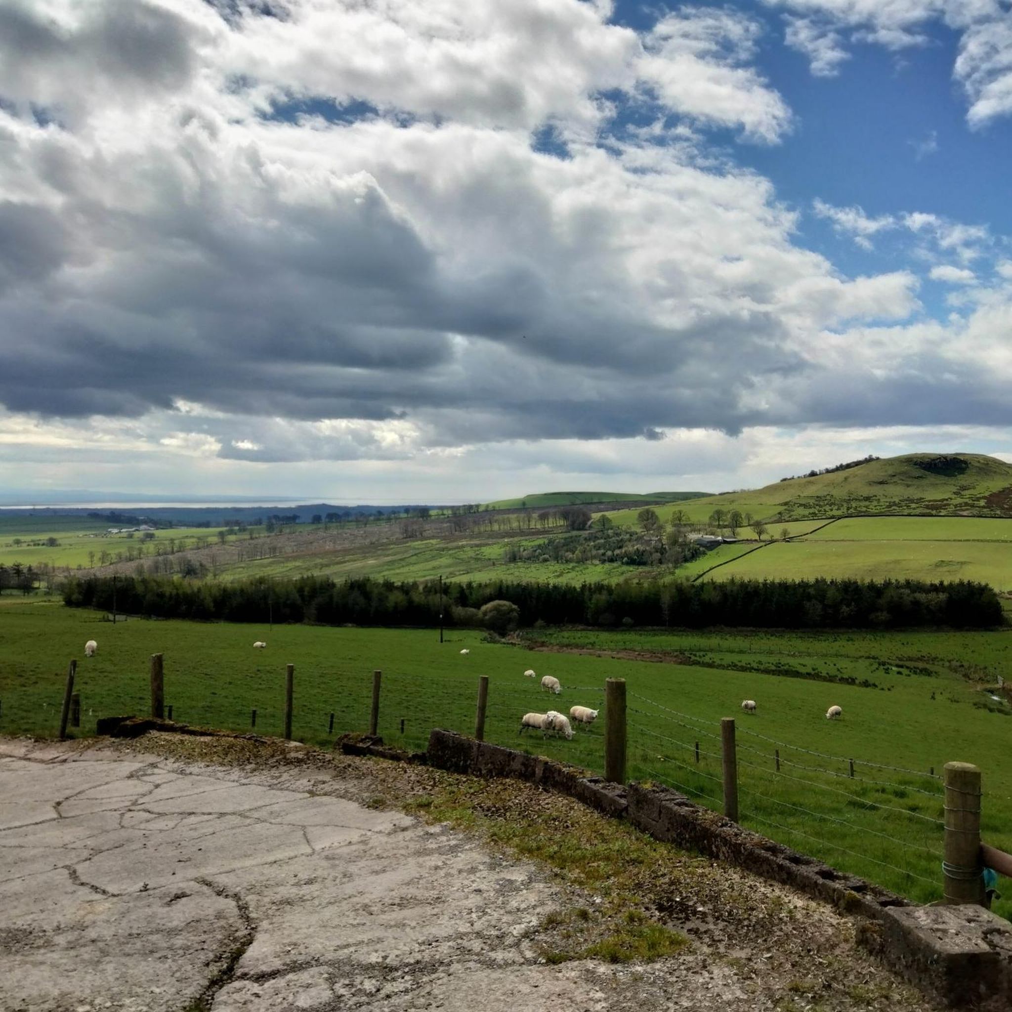
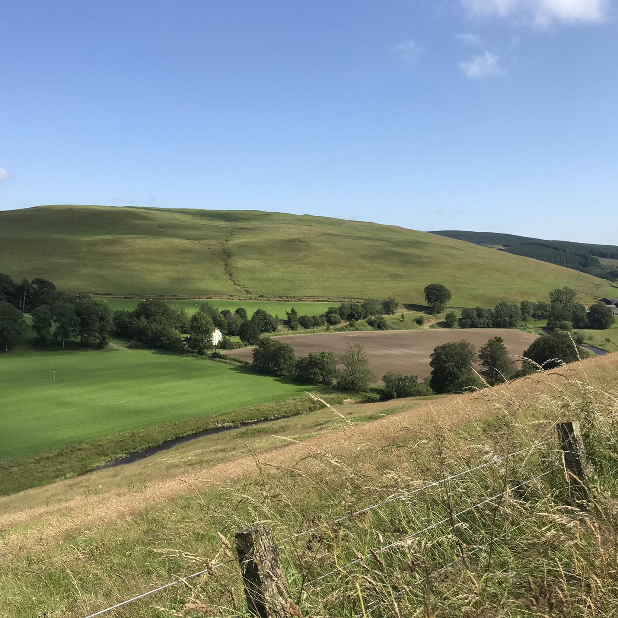
Road cycling around Kirtle And Eaglesfield features a network of routes across a landscape characterized by rolling agricultural land and river valleys. The terrain generally includes gentle ascents and descents, with some routes offering more sustained climbs. This area provides varied road cycling experiences suitable for different fitness levels.
Best road cycling routes around Kirtle And Eaglesfield
- The most popular road cycling route is Blue Bell Inn, Annan – Annan Town Hall loop from Ecclefechan, a 42.9 miles (69.0…
Last updated: July 23, 2026
43
riders
71.1km
02:55
380m
380m
Moderate road ride. Good fitness required. Mostly well-paved surfaces and easy to ride.
5.0
(1)
27
riders
51.5km
02:02
220m
220m
Moderate road ride. Good fitness required. Mostly well-paved surfaces and easy to ride.

Sign up for free
5
riders
60.1km
02:46
400m
400m
Moderate road ride. Good fitness required. Mostly well-paved surfaces and easy to ride.
6
riders
26.8km
01:06
180m
180m
Easy road ride. Great for any fitness level. Mostly well-paved surfaces and easy to ride.
8
riders
Moderate road ride. Good fitness required. Mostly well-paved surfaces and easy to ride.
Get access to more routes and recommendations from other explorers.
Sign up for free
Already have an account?
Our route recommendations are based on thousands of hikes, rides, and runs completed by other people on komoot.
Start today with a free account
Your next adventure awaits.
Login or Signup
Popular around Kirtle And Eaglesfield
Tips from the Community

There are many bridges in Langholm, partly due to two river merging into one. The photo is the main Langholm Bridge
0
0

Stamp point for your passport. Inside the Sands Centre.
0
0

The Big Dance sculpture was created by artist Ray Lonsdale. It is the centerpiece of the Sculpture Garden at the Famous Blacksmiths Shop complex.
0
0


Temporary Traffic Lights that have been there since early 2023!
0
0
Excellent location for those on LEJOG/JOGLE who are in need of fuel and fluids.
0
0

"Sark Bridge spans Anglo-Scottish border a little to the south of Gretna, and today carries the B7076 into Scotland. It is one of the numerous bridges built by Thomas Telford as part of the upgrades to the Carlisle to Glasgow road that he oversaw in the 1810s. His original bridge was only wide enough for one lane of modern traffic, and was tasked with carrying the A74 when the routes were first classified in 1922. Circa 1960, when still part of the A74, it was supplemented by a temporary steel Bailey bridge alongside for northbound traffic, with the old bridge used for southbound traffic. This set-up remained when the road was demoted on completion of the A74 Gretna bypass in 1973 and its upgrade to motorway in 1992. Finally the Telford bridge was sensitively widened in 2001, winning a Saltire award, and the Bailey bridge removed". Source: https://www.sabre-roads.org.uk/wiki/index.php?title=Sark_Bridge
0
0
Frequently Asked Questions
How many road cycling routes are available around Kirtle And Eaglesfield?
There are over 150 road cycling routes documented on komoot for the Kirtle And Eaglesfield area. These routes cater to various skill levels, from easy to difficult.
What is the general terrain like for road cycling in Kirtle And Eaglesfield?
The region is characterized by rolling agricultural land and river valleys. Cyclists can expect a mix of gentle ascents and descents, with some routes offering more sustained climbs. The routes primarily follow rural roads.
Are there any easy road cycling routes for beginners in Kirtle And Eaglesfield?
Yes, there are 58 easy road cycling routes available. An example is the Hoddom Castle – Brydekirk Stone Bridge loop from Ecclefechan, which is 32.9 miles long and offers a gentle ride.
What kind of landmarks or points of interest can I see while cycling in Kirtle And Eaglesfield?
While cycling, you can explore several interesting landmarks. These include the England–Scotland Border at Gretna Green, the Solway Junction Railway Viaduct Remains, and the Hadrian's Wall Path Pavilion and Stamping Station. You might also encounter the River Annan Riverside Trail.
What do other road cyclists think about the routes in Kirtle And Eaglesfield?
The road cycling routes in Kirtle And Eaglesfield are highly rated by the komoot community, with an average score of 4.6 stars from over 12 reviews. Cyclists often praise the varied scenery and the network of rural roads.
Are there any moderate road cycling routes that are popular?
Absolutely. A popular moderate route is the Gretna Green Signpost loop from Ecclefechan, which covers 31.9 miles and explores the area's rural roads and local landmarks. Another option is the Decorated Bicycles of Langholm – Pelosi's Corner Café, Langholm loop from Ecclefechan, a 50.8-mile route with more elevation gain.
How long do road cycling routes typically take in this region?
Route durations vary significantly based on distance and difficulty. For example, the moderate Blue Bell Inn, Annan – Annan Town Hall loop from Ecclefechan, at 42.9 miles, typically takes around 2 hours and 46 minutes to complete.
Are there any longer road cycling routes for experienced riders?
Yes, for those seeking a longer challenge, the Annan Town Hall – Cubbyhill Signpost loop from Ecclefechan is a moderate 37.8-mile route that leads through open countryside and along river plains, often completed in about 2 hours 48 minutes.
What types of roads will I encounter on a road bike in Kirtle And Eaglesfield?
You will primarily ride on rural roads, which are generally well-suited for road bikes. The routes often traverse agricultural areas and follow river valleys, offering a mix of quiet stretches and scenic views.
Are there many difficult road cycling routes in Kirtle And Eaglesfield?
While the majority of routes are easy or moderate, there are 5 difficult road cycling routes available for experienced riders looking for more challenging climbs and longer distances.
Can I find routes that are loops or circular in nature?
Many of the road cycling routes in Kirtle And Eaglesfield are designed as loops, allowing you to start and end your ride in the same location. Examples include the popular routes starting and ending in Ecclefechan.
Most popular routes around Kirtle And Eaglesfield
Most popular attractions around Kirtle And Eaglesfield

Get inspired with the komoot mobile app


Explore more
Browse the best Road cycling routes in other regions.
