The best walks and hikes around Garlieston
4.4
(74)
512
hikers
20
hikes
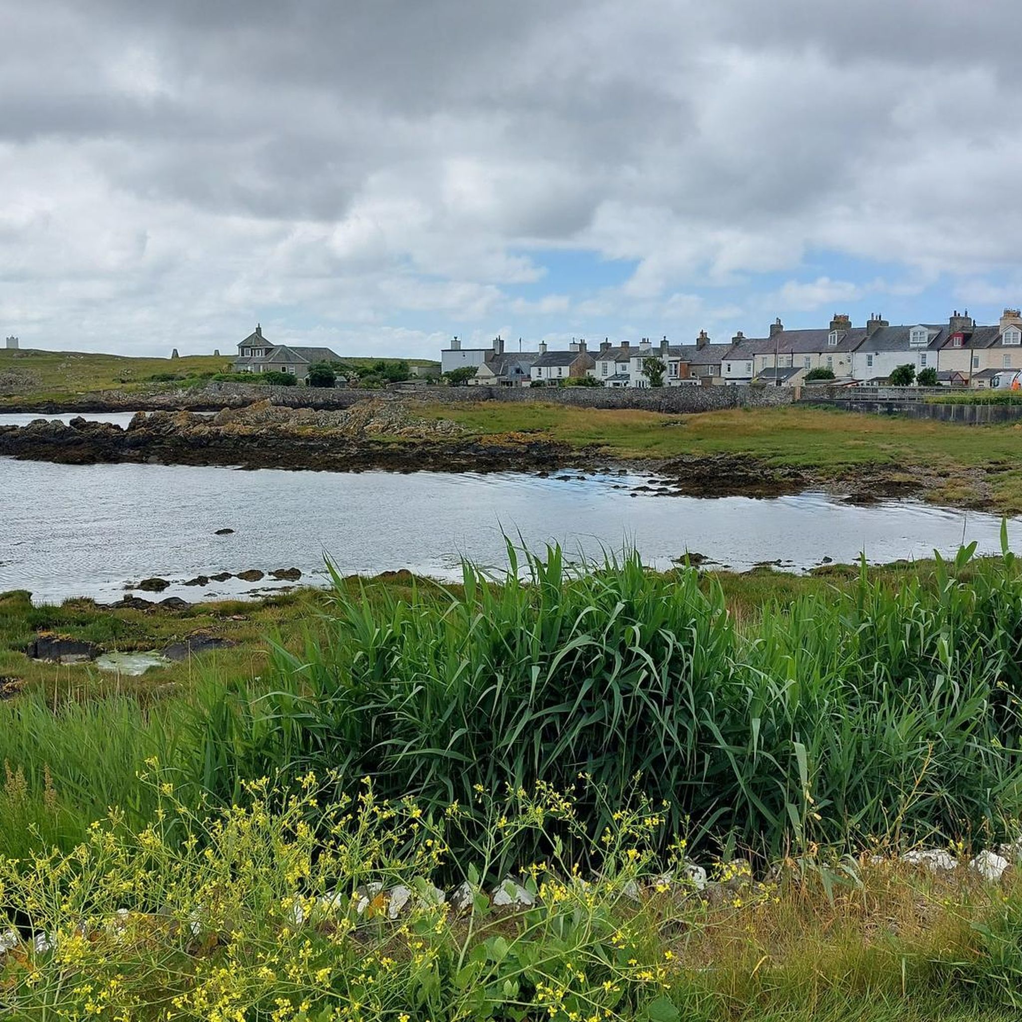
Hiking around Garlieston offers a variety of coastal and inland paths in Dumfries and Galloway, Scotland. The region is characterized by its scenic coastline, including Garlieston Bay and Rigg Bay, and features gentle rolling terrain. Trails often traverse woodlands, open fields, and offer views of the Solway Firth. The landscape provides accessible options for various hiking abilities.
Best hiking trails around Garlieston
- The most popular hiking route is St Ninian's Cave from Isle of Whithorn, a 11.3 miles (18.2 km) trail that takes 4 hours 40 minutes to complete, offering coastal views and historical interest.
- Another top favourite among local hikers is Cruggleton Castle Arch – Rigg Bay loop from Garlieston, a moderate 6.0 miles (9.7 km) path. This route explores the coastline around Garlieston, including Rigg Bay, and passes by historical ruins.
- Local hikers also love the Rigg Bay loop from Garlieston, a 3.2 miles (5.2 km) trail leading through coastal scenery and woodlands, often completed in about 1 hour 19 minutes.
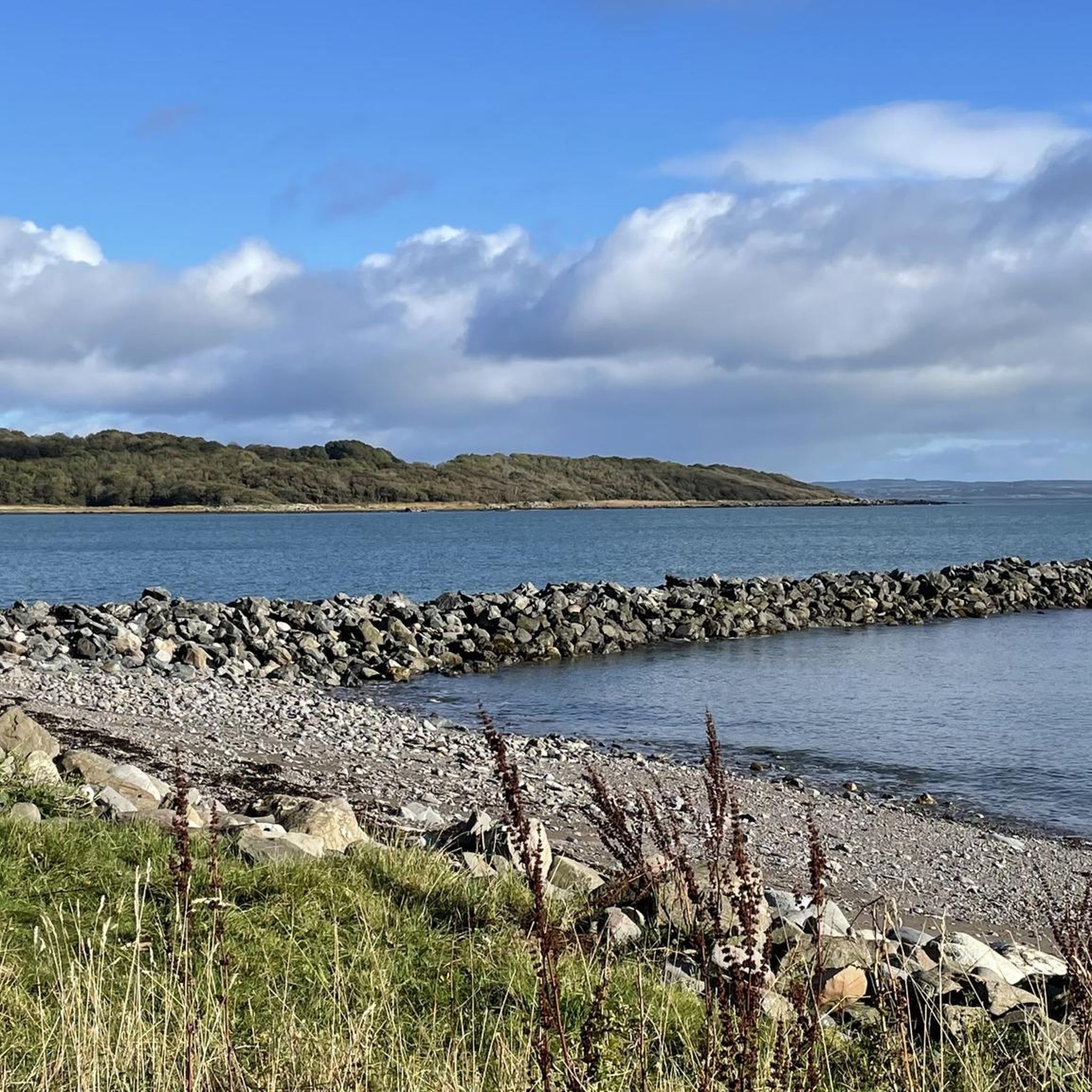
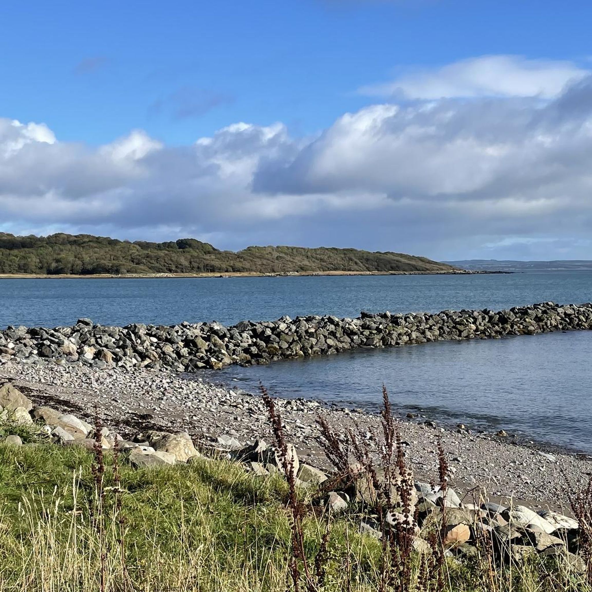
- Hiking around Garlieston is defined by its coastal paths, tranquil bays like Rigg Bay, and mixed woodlands. The network offers options for different ability levels, from easy strolls to moderate excursions.
- The routes in Garlieston are highly rated by the komoot community with an average score of 4.5 stars from over 40 reviews. More than 400 hikers have used komoot to explore Garlieston's varied terrain.
Last updated: October 26, 2026
5.0
(4)
16
hikers
18.2km
04:40
70m
70m
Moderate hike. Good fitness required. Easily walkable paths.
4.6
(20)
125
hikers
9.82km
02:34
70m
70m
Moderate hike. Good fitness required. Easily walkable paths.

4.6
(9)
43
hikers
Moderate hike. Good fitness required. Easily walkable paths.
4.6
(5)
28
hikers
5.25km
01:21
20m
20m
Easy hike. Easily walkable paths.
4.5
(4)
26
hikers
Easy hike. Easily walkable paths.
Get access to more routes and recommendations from other explorers.
Already have an account?
Our route recommendations are based on thousands of hikes, rides, and runs completed by other people on komoot.
Start today with a free account
Your next adventure awaits.
Popular around Garlieston
Tips from the Community


This was where the burning man was for the 1970s film starring Christopher Lee.
0
0
A very cool piece created to celebrate that the Wickerman was filmed in that town
0
0

Great wee place. The hive and The Harbour great places to eat.
0
0

gap in the forest . and a wall to sit on. look for birds on the cliffs
0
0

The vibrant small settlement of Wigtown holds the title of Scotland's national book town! The town has an endless number of fantastic bookshops, old and new, as well as wonderful cafes, restaurants, and riverside views.
1
0
Beautiful isolated cave carved into the coast of Physgill Glen. The cave is thought to have been a hideaway for Saint Ninian, Scotland's first saint.
1
0
Frequently Asked Questions
How many hiking trails are available around Garlieston?
Garlieston offers a good selection of hiking trails, with over 20 routes recorded on komoot. These range from easy strolls to more moderate excursions, ensuring options for various fitness levels.
Are there easy hiking trails suitable for beginners or families in Garlieston?
Yes, Garlieston has several easy trails perfect for beginners or families. For instance, the Rigg Bay loop from Garlieston is an easy 3.2-mile (5.2 km) route that takes about 1 hour 19 minutes, offering pleasant coastal scenery and woodlands.
Are there any circular walks around Garlieston?
Yes, many of the trails around Garlieston are circular, allowing you to start and end in the same location. A popular option is the Cruggleton Castle Arch – Rigg Bay loop from Garlieston, which is a moderate 6.0-mile (9.7 km) path exploring the coastline and historical ruins.
What kind of scenery can I expect on hikes around Garlieston?
Hiking around Garlieston is defined by its scenic coastline, tranquil bays like Rigg Bay, and mixed woodlands. Trails often traverse open fields and offer beautiful views of the Solway Firth, providing a diverse natural experience.
What do other hikers enjoy most about the trails in Garlieston?
The trails in Garlieston are highly rated by the komoot community, with an average score of 4.5 stars from over 40 reviews. Hikers often praise the varied coastal paths, the peaceful atmosphere of the bays, and the well-maintained routes through woodlands.
Are there any historical sites or landmarks to see while hiking near Garlieston?
Yes, the area around Garlieston is rich in history. You can explore sites like the Wigtown Martyrs Stake Memorial or visit Wigtown Book Town, which is a short distance away. The Cruggleton Castle Arch – Rigg Bay loop also passes by historical ruins.
Can I find trails suitable for dog walking in Garlieston?
Many of the trails around Garlieston are suitable for dogs, especially the coastal and woodland paths. It's always recommended to keep dogs under control, particularly near livestock or in nature conservation areas. The Rigg Bay loop is a popular choice for dog walkers.
Are there any accessible trails for those with limited mobility or pushchairs?
The landscape around Garlieston offers some accessible options due to its gentle rolling terrain. While specific fully accessible trails are not detailed, many of the easier, flatter sections of coastal paths and woodland tracks may be suitable for those with limited mobility or pushchairs. Always check route details for specific conditions.
What is the best time of year to go hiking in Garlieston?
Garlieston's coastal location means it can be enjoyed year-round. Spring and summer offer milder weather and blooming flora, while autumn brings beautiful colours to the woodlands. Winter hikes can be invigorating, especially along the coast, though conditions may be wetter and windier.
Are there opportunities for wild swimming near Garlieston's hiking trails?
Garlieston Bay and Rigg Bay offer opportunities for wild swimming, particularly during warmer months. These bays are often part of coastal hiking routes, allowing you to combine a walk with a refreshing dip in the Solway Firth.
Are there any hidden gem walks or less-known trails around Garlieston?
While the main routes are well-loved, exploring the less-trafficked sections of the coastal path or venturing into the quieter woodlands can reveal hidden gems. The area's charm often lies in its tranquil bays and secluded stretches of coastline, which can be discovered by extending known routes or exploring local footpaths.
Can I combine hiking with a pub lunch in Garlieston?
Garlieston itself is a small village, but there are local establishments where you can enjoy refreshments. Many hikers plan their routes to pass through or end near villages with pubs or cafes in the wider Dumfries and Galloway region for a well-deserved pub lunch.
What are the options for public transport to access hiking trails in Garlieston?
Public transport options in rural Dumfries and Galloway can be limited. While Garlieston has some local bus services, it's advisable to check current timetables for connections to specific trailheads. Many visitors choose to drive to access the wider network of trails.
Is parking available at the trailheads in Garlieston?
Yes, parking is generally available in Garlieston village and at common starting points for popular trails, such as those leading to Rigg Bay. Specific parking details can often be found within individual route descriptions on komoot.
Most popular attractions around Garlieston

Get inspired with the komoot mobile app


Explore more
Browse the best Hikes in other regions.
