The best cycling routes around Caerlaverock
4.5
(75)
619
riders
88
rides
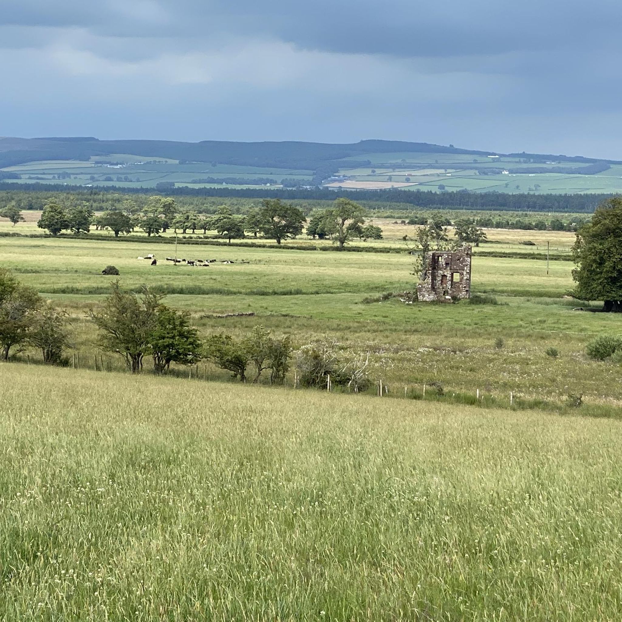
Touring cycling around Caerlaverock offers routes through a landscape characterized by coastal plains, open farmlands, and the Solway Firth estuary. The terrain is generally flat, with gentle undulations, making it suitable for various cycling abilities. Routes often feature views across the Solway Firth towards the distant hills of the Lake District and pass by historical sites. The region's network of quiet roads and paths provides access to natural reserves and scenic waterfronts.
Best touring cycling routes around Caerlaverock
- The most…
Last updated: August 5, 2026
5.0
(6)
46
riders
42.9km
02:32
100m
100m
Moderate bike ride. Good fitness required. Mostly paved surfaces. Suitable for all skill levels.
5.0
(1)
10
riders
Easy bike ride. Great for any fitness level. Mostly paved surfaces. Suitable for all skill levels.

Sign up for free
5.0
(1)
8
riders
35.9km
02:15
260m
260m
Moderate bike ride. Good fitness required. Mostly paved surfaces. Suitable for all skill levels.
7
riders
32.4km
01:56
170m
170m
Moderate bike ride. Good fitness required. Mostly paved surfaces. Suitable for all skill levels.
8
riders
12.2km
00:42
40m
40m
Easy bike ride. Great for any fitness level. Mostly paved surfaces. Suitable for all skill levels.
Get access to more routes and recommendations from other explorers.
Sign up for free
Already have an account?
Our route recommendations are based on thousands of hikes, rides, and runs completed by other people on komoot.
Start today with a free account
Your next adventure awaits.
Login or Signup
Tips from the Community

Cycle lane closed for maintenance, not sure how long for . July 26
0
0

The Devorgilla Bridge (also known as Old Bridge) in Dumfries is one of Scotland's oldest surviving bridges. It spans the River Nith and dates back to a wooden bridge endowed around 1260 by Lady Devorgilla of Galloway. The present stone bridge mainly dates from the 15th century and has been rebuilt several times after flood damage. Originally it had nine arches, today six remain. Directly beside the bridge stands the historic Old Bridge House, one of the oldest houses in Dumfries. For hikers and history enthusiasts, the bridge is a landmark of Dumfries and a beautiful viewpoint over the River Nith.
0
0

Caerlaverock Castle is Scotland (and in fact the UK's) only triangular castle, built in red sandstone and complete with moat. It's now maintained by Historic Environment Scotland and has ticketed entry to the castle itself but you can walk around the outside of the moat free or charge.
0
0

The pedestrian bridge is one of the oldest in Scotland. Built in 1432, it crosses the River Nith in the town center and offers scenic views.
0
0
As Scotland's seventh-longest river, the Nith flows for over 70 miles before emptying into the Solway Firth.
0
0

Great moated castle with picnic areas and a small playground.
0
0

The camp site has removed the sign posts.. ignore the one way and go past the underwhelming pods round the gate and your good to go.. please remember to alert the council of the obvious attempt to block the route..
0
0

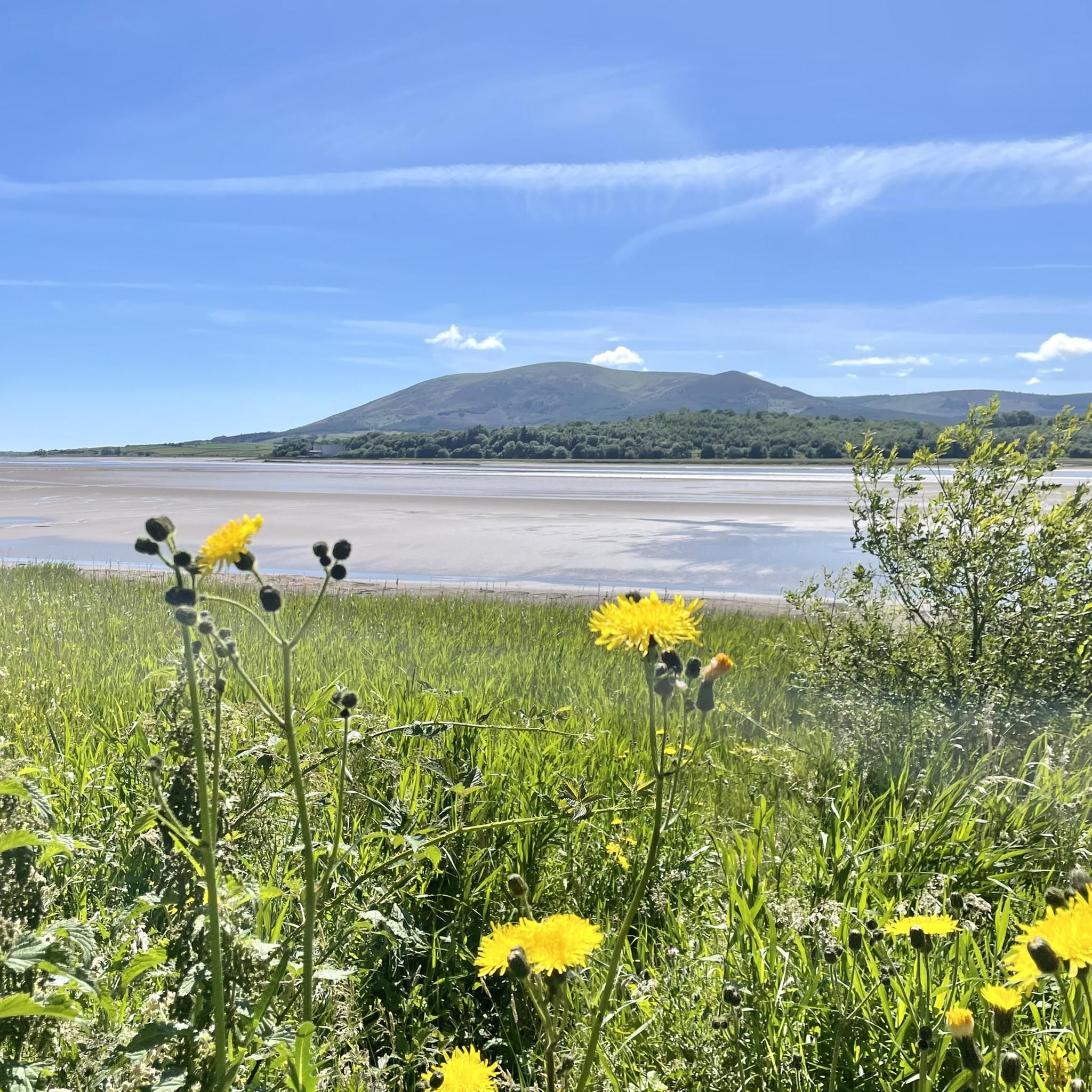
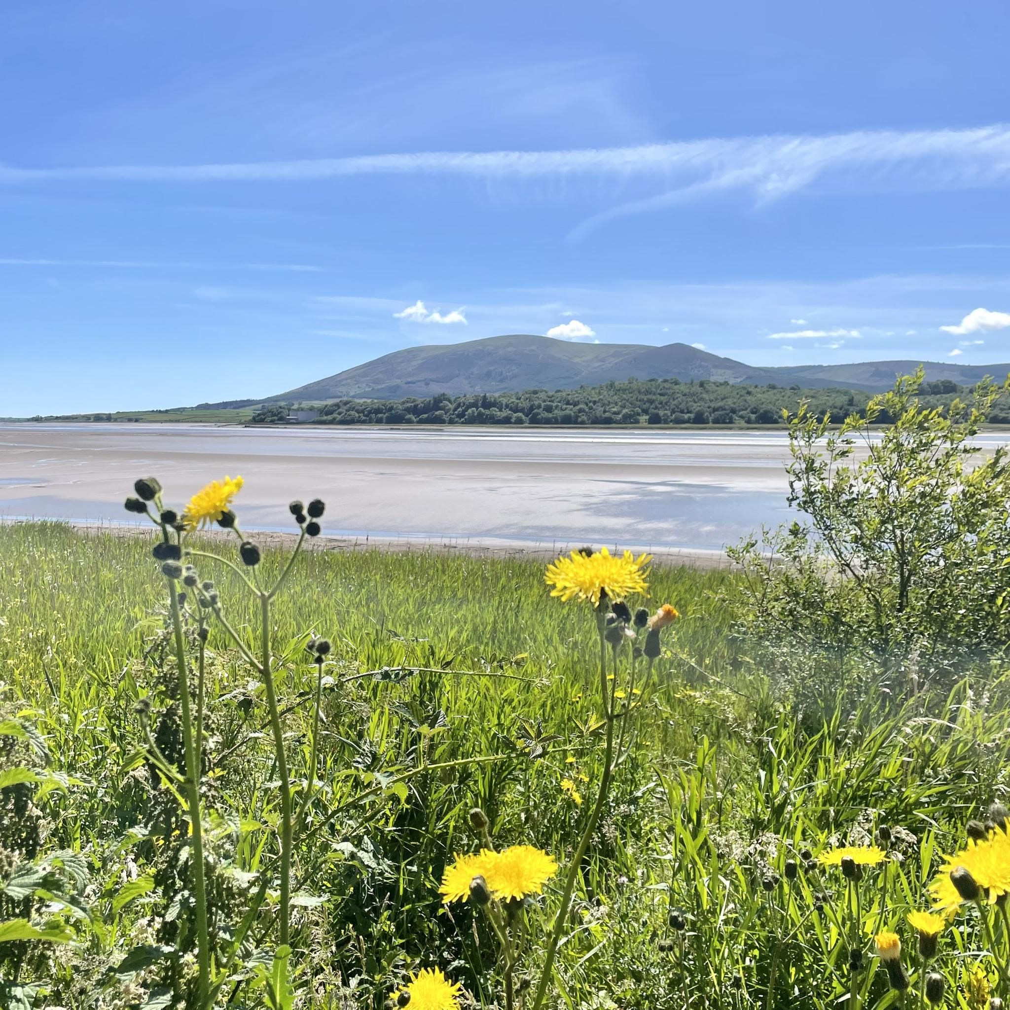
Powfoot is a lovely village to visit with great views across the water to the Cumbrian fells
0
0
Frequently Asked Questions
How many touring cycling routes are available in Caerlaverock?
There are over 90 touring cycling routes around Caerlaverock listed on komoot, offering a wide range of options for exploring the region's coastal plains and farmlands.
What is the general difficulty level of touring cycling routes in Caerlaverock?
The terrain around Caerlaverock is generally flat with gentle undulations, making it suitable for various cycling abilities. You'll find a good mix of routes: approximately 30 are rated as easy, 46 as moderate, and 16 as difficult, ensuring options for beginners and more experienced cyclists alike.
Are there family-friendly touring cycling routes in Caerlaverock?
Yes, Caerlaverock offers several easy, family-friendly routes. For instance, the Devorgilla Bridge – Kirkpatrick Macmillan Bridge loop from Islesteps is an easy 9.3 miles (15.0 km) path that follows riverbanks and passes through local villages, ideal for a relaxed family outing.
What kind of scenery and viewpoints can I expect on the touring cycling routes?
Routes often feature expansive views across the Solway Firth towards the distant hills of the Lake District. You can also expect to pass by historical sites and natural reserves. Notable viewpoints and attractions include Criffel Summit (visible from many routes), and the historic Caerlaverock Castle.
Are there circular touring cycling routes in the Caerlaverock area?
Yes, many routes in Caerlaverock are designed as loops, allowing you to start and finish at the same point. An example is the Moss Road – View of Skiddaw from Powfoot loop from Comlongon Castle (Hotel), an easy 32.4 km (20.1 miles) route that offers varied scenery.
What is the best time of year for touring cycling in Caerlaverock?
The region's coastal paths and open farmlands are enjoyable throughout the warmer months, typically from spring to autumn. During these seasons, you'll experience milder weather and better visibility for the expansive views across the Solway Firth.
Can I bring my dog on the touring cycling routes in Caerlaverock?
Many of the touring cycling routes in Caerlaverock utilize quiet roads and paths, which can be suitable for cycling with a dog, provided your dog is well-behaved and accustomed to cycling alongside you. Always ensure your dog is on a lead where appropriate, especially near livestock or in nature reserves, and check local regulations for specific areas.
Are there any historical landmarks or points of interest along the cycling routes?
Absolutely. The routes often lead past significant historical sites. For example, the View of Criffel Hill – Caerlaverock Castle loop from Glencaple takes you directly past the impressive Caerlaverock Castle. Other notable sites in the wider area include the Sweetheart Abbey Ruins.
What do other touring cyclists enjoy most about cycling in Caerlaverock?
The area is highly rated by the komoot community, with an average score of 4.4 stars from over 60 reviews. Reviewers often praise the quiet roads, the expansive views across the Solway Firth, and the opportunity to explore coastal areas and historic landmarks.
Is public transport available to access the cycling routes in Caerlaverock?
While Caerlaverock is primarily accessed by car, local bus services connect some of the villages in the area, such as Glencaple, to larger towns like Dumfries. Cyclists should check specific bus routes and their bicycle carriage policies if planning to use public transport to reach the starting points of routes.
Where can I find parking near the touring cycling routes?
Many routes start from villages like Glencaple or Islesteps, where you can often find local parking facilities. For routes that begin near attractions like Caerlaverock Castle, dedicated parking is usually available. Always check for signage and local regulations regarding parking.
What are some longer touring cycling routes for more experienced riders?
For those seeking a longer ride, the Moss Road – View of Skiddaw from Powfoot loop from Glencaple is a moderate 43.2 km (26.9 miles) trail offering expansive views. Another option is the View of Skiddaw from Powfoot – Repentance Tower loop from Ruthwell, a moderate 35.9 km (22.3 miles) route with more elevation gain.
Most popular attractions around Caerlaverock

Get inspired with the komoot mobile app


Explore more
Browse the best Cycling routes in other regions.
