The best running trails in Prentice Cooper State Forest
4.5
(25)
1,128
runners
48
runs
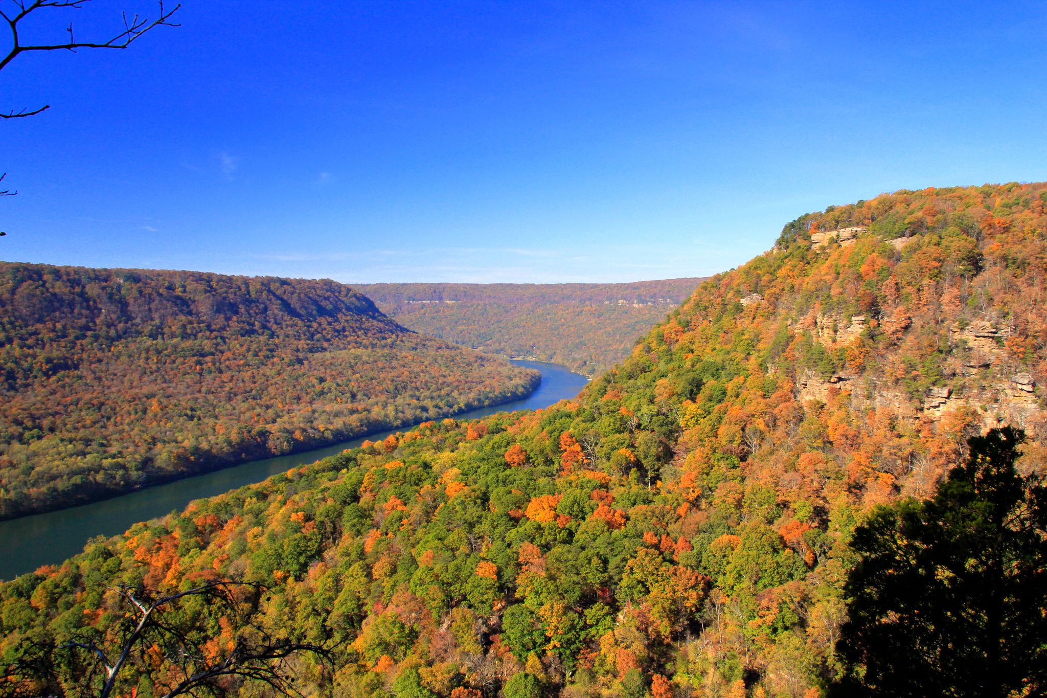
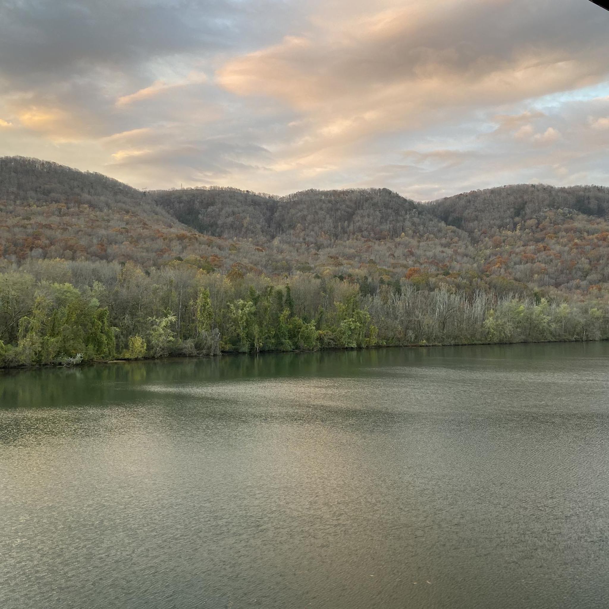
Jogging in Prentice Cooper State Forest offers routes through a landscape characterized by dense woodlands, rugged bluffs, and the Tennessee River Gorge. The area features varied terrain, including challenging ascents and more level paths, suitable for different running preferences. Prentice Cooper State Forest trails provide opportunities to explore natural features and scenic overlooks. The region's topography ensures a diverse experience for runners.
Best jogging routes in Prentice Cooper State Forest
- The most popular jogging route is Mullens Cove Loop Trail…
Last updated: September 27, 2026
12
runners
14.2km
01:52
350m
340m
The Mullens Cove Loop Trail offers a diverse and challenging jogging experience, taking you through pleasant forests, rugged gorges, and along high overlooks of the Tennessee River. This difficult 8.9-mile…
3
runners
6.33km
00:50
190m
190m
Jog this moderate 3.9-mile (6.3 km) trail from Signal Point to Edwards Point for panoramic views of the Tennessee River Gorge.

3
runners
19.3km
02:04
250m
250m
The Game Reserve Road to Snooper's Rock offers a rugged and rewarding jogging experience through Prentice Cooper State Forest. You'll traverse diverse terrain, from soft forest paths to rocky sections,…
1
runners
18.4km
02:21
350m
350m
The Pot Point Loop offers a truly immersive experience in the Tennessee River Gorge, often called the "Grand Canyon of Tennessee." You'll jog through dense forests and along open ridges,…
1
runners
17.0km
02:21
580m
580m
The Cumberland Trail from Signal Point to Edwards Point plunges you into a lush hardwood forest, quickly transitioning from a steep, stair-filled descent into a relentlessly rocky and technical path.…
Get access to more routes and recommendations from other explorers.
Already have an account?
Our route recommendations are based on thousands of hikes, rides, and runs completed by other people on komoot.
Start today with a free account
Your next adventure awaits.

Other adventures in Prentice Cooper State Forest

Tips from the Community

Rainbow Lake Wilderness is a quiet and beautiful corner of Prentice Cooper State Forest, perfect if you enjoy moments of solitude in nature. The surrounding trails can be rocky, leading you through dense forest and past a few small streams, with Rainbow Lake itself offering a lovely spot to pause. Trails are lightly marked and can be overgrown, so having your Komoot map downloaded can be helpful.
1
0

Edwards Point is an awesome lookout off the side of Signal Point Trail. There is a rocky outcropping that offers views of the Tennessee River below and the Signal Mountain valley down to Chattanooga.
1
0
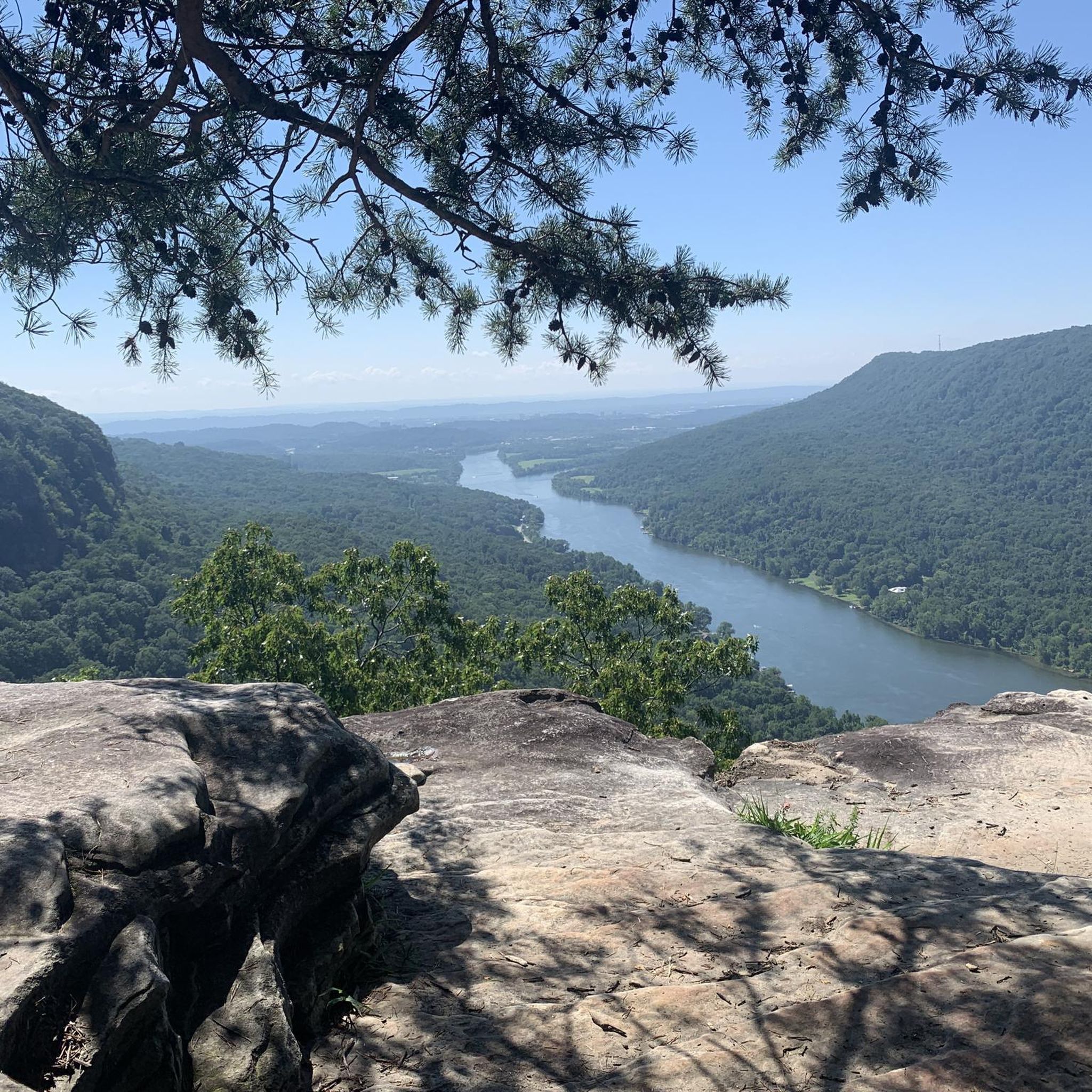
Snooper's Rock is a cool overlook on the Cumberland Trail. It has expansive views of the Tennessee River, Chattanooga, and the distant Lookout Mountain. The overlook is actually a few hundred feet past the end of this pull-off. You'll have to walk your bike, but this overlook is worth the walk (it's pretty much the pinnacle of the ride).
0
0
Snooper's Rock is a cool overlook on the Cumberland Trail. It has expansive views of the Tennessee River, Chattanooga, and the distant Lookout Mountain.
1
0

Nice view over the Tennessee River Valley up to Chattanooga
0
0
This viewpoint overlooks the Tennessee River and the Raccoon Mountain recreation area. Raccoon Mountain is home to singletrack trails, a paved path, and a large reservoir (Raccoon Lake). There are a few other great viewpoints on Pot Point Loop.
0
0
Game Reserve Road is the dirt service road running through the middle Prentice Cooper State Forest. There is a multitude of singletrack and double-track trails in the forest, and this dirt road offers the ability to make loops or the option for having a flatter (still rolling hills) running option.
0
0
Frequently Asked Questions
How many running routes are available in Prentice Cooper State Forest?
Prentice Cooper State Forest offers a wide selection of running routes, with over 40 different trails to explore. These routes cater to various skill levels, including easy, moderate, and difficult options.
Are there any easy or beginner-friendly running trails in Prentice Cooper State Forest?
Yes, Prentice Cooper State Forest has several routes suitable for beginners. There are 7 easy running routes available. While specific easy routes are not detailed here, these trails generally feature less challenging terrain and elevation changes, perfect for those new to trail running.
What kind of terrain can I expect on the running trails in Prentice Cooper State Forest?
The running routes in Prentice Cooper State Forest feature diverse terrain, including dense woodlands, rugged bluffs, and sections along the Tennessee River Gorge. You'll encounter a mix of challenging ascents and more level paths, providing a varied experience for runners.
Are there any circular running routes in Prentice Cooper State Forest?
Yes, there are several loop options for runners. For example, the Mullens Cove Loop Trail is a popular 8.9-mile (14.2 km) route that offers significant elevation changes and scenic forest views. Another option is the Pot Point Loop, which is a longer 11.5-mile (18.4 km) trail.
What are some scenic viewpoints or attractions I can see while running in Prentice Cooper State Forest?
Many routes offer stunning views. A notable highlight is Snooper’s Rock, which provides panoramic vistas of the Tennessee River Gorge. You might also encounter Blowing Wind Falls, a beautiful waterfall, along some trails. The Cumberland Trail section also features scenic overlooks.
Do I need a permit or is there an entrance fee to jog in Prentice Cooper State Forest?
Prentice Cooper State Forest is managed by the Tennessee Wildlife Resources Agency (TWRA). While general access for hiking and running is typically free, specific activities or areas might require permits, especially during hunting seasons. It's always best to check the official TWRA website for the most current regulations and any required permits before your visit.
Are dogs allowed on the running trails in Prentice Cooper State Forest?
Generally, dogs are permitted on trails in Prentice Cooper State Forest, but they must be kept on a leash at all times. Please ensure you clean up after your pet to maintain the natural environment for all visitors. Always check for specific trail signage regarding pet policies.
What is the best time of year to go running in Prentice Cooper State Forest?
Spring and fall are generally considered the best times for running in Prentice Cooper State Forest. The weather is milder, and the natural scenery is vibrant with spring blooms or autumn foliage. Summers can be hot and humid, while winters can bring colder temperatures, though trails are often accessible year-round.
What do other runners enjoy most about the trails in Prentice Cooper State Forest?
The running routes in Prentice Cooper State Forest are highly rated by the komoot community, with an average score of 4.4 stars from over 10 reviews. Runners often praise the diverse terrain, the challenging ascents, and the rewarding views of the Tennessee River Gorge. The opportunity to explore dense woodlands and rugged bluffs is also frequently highlighted.
Are there any family-friendly running options in Prentice Cooper State Forest?
While many routes feature significant elevation changes, there are easier trails that families might enjoy. Look for the 7 easy-rated routes available in the forest. These paths are generally less strenuous and can be a good starting point for families looking to run together, though supervision is always recommended.
Where can I park when visiting Prentice Cooper State Forest for a run?
Prentice Cooper State Forest has designated parking areas at various trailheads. Specific parking availability can vary by trailhead, so it's advisable to check maps or local information for the most convenient access point to your chosen running route.
Most popular routes in Prentice Cooper State Forest
Most popular attractions in Prentice Cooper State Forest

Get inspired with the komoot mobile app


Explore more
Browse the best Running Trails & Routes in other regions.
