The best road cycling routes in San Lorenzo Valley Water District
4.9
(11)
295
riders
14
rides
Road cycling in San Lorenzo Valley Water District offers diverse terrain within the Santa Cruz Mountains, characterized by redwood forests and scenic river valleys. The region features winding roads that traverse lush landscapes and follow the San Lorenzo River. Cyclists encounter varied elevation changes, from shaded riverside paths to challenging mountain climbs, providing options for different skill levels.
Best road cycling routes in San Lorenzo Valley Water District
- The most popular road cycling route is Roadbike loop from Forest Springs…
Last updated: May 12, 2026
6
riders
26.6km
01:26
520m
520m
Moderate road ride. Good fitness required. Mostly well-paved surfaces and easy to ride.
15
riders
45.9km
02:27
910m
910m
Hard road ride. Very good fitness required. Mostly well-paved surfaces and easy to ride.

Sign up for free
8
riders
46.2km
02:31
930m
930m
Hard road ride. Very good fitness required. Mostly well-paved surfaces and easy to ride.
7
riders
Moderate road ride. Good fitness required. Mostly well-paved surfaces and easy to ride.
6
riders
59.9km
02:38
550m
550m
Moderate road ride. Good fitness required. Mostly well-paved surfaces and easy to ride.
Get access to more routes and recommendations from other explorers.
Sign up for free
Already have an account?
Our route recommendations are based on thousands of hikes, rides, and runs completed by other people on komoot.
Start today with a free account
Your next adventure awaits.
Login or Signup
Popular around San Lorenzo Valley Water District
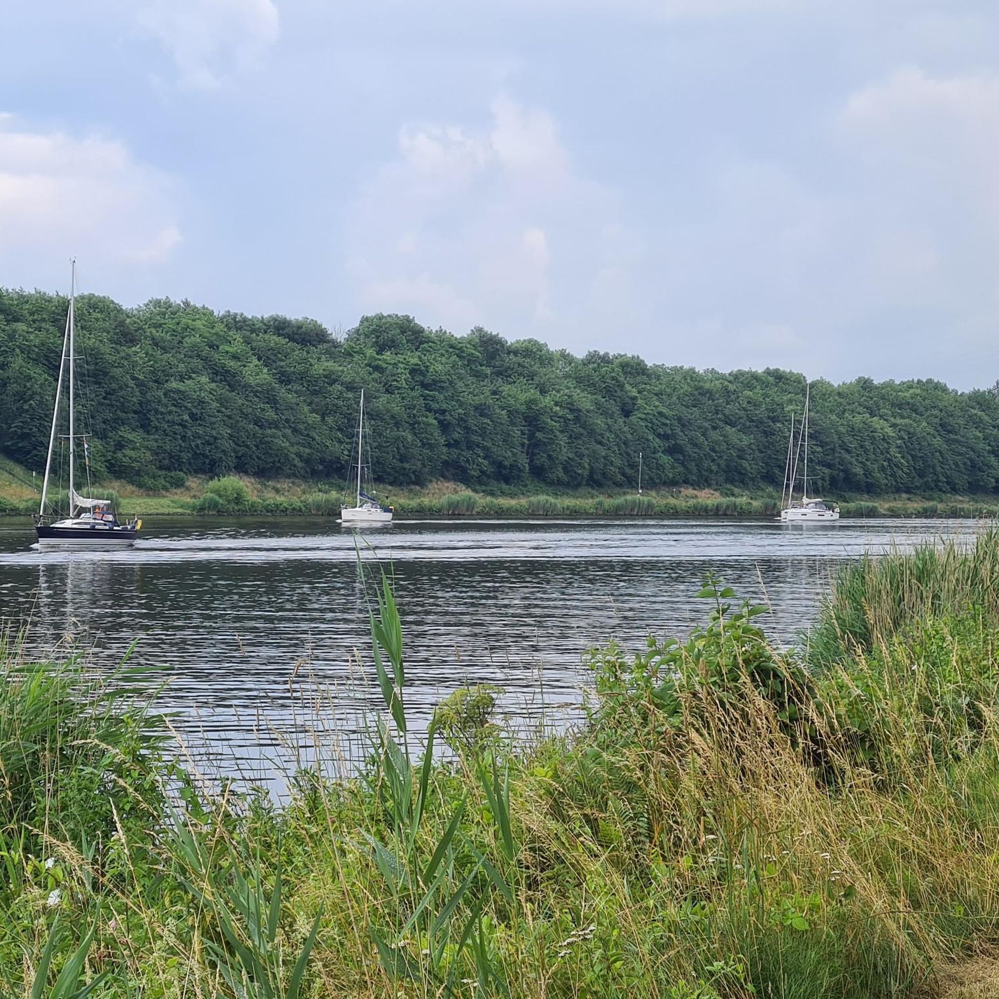
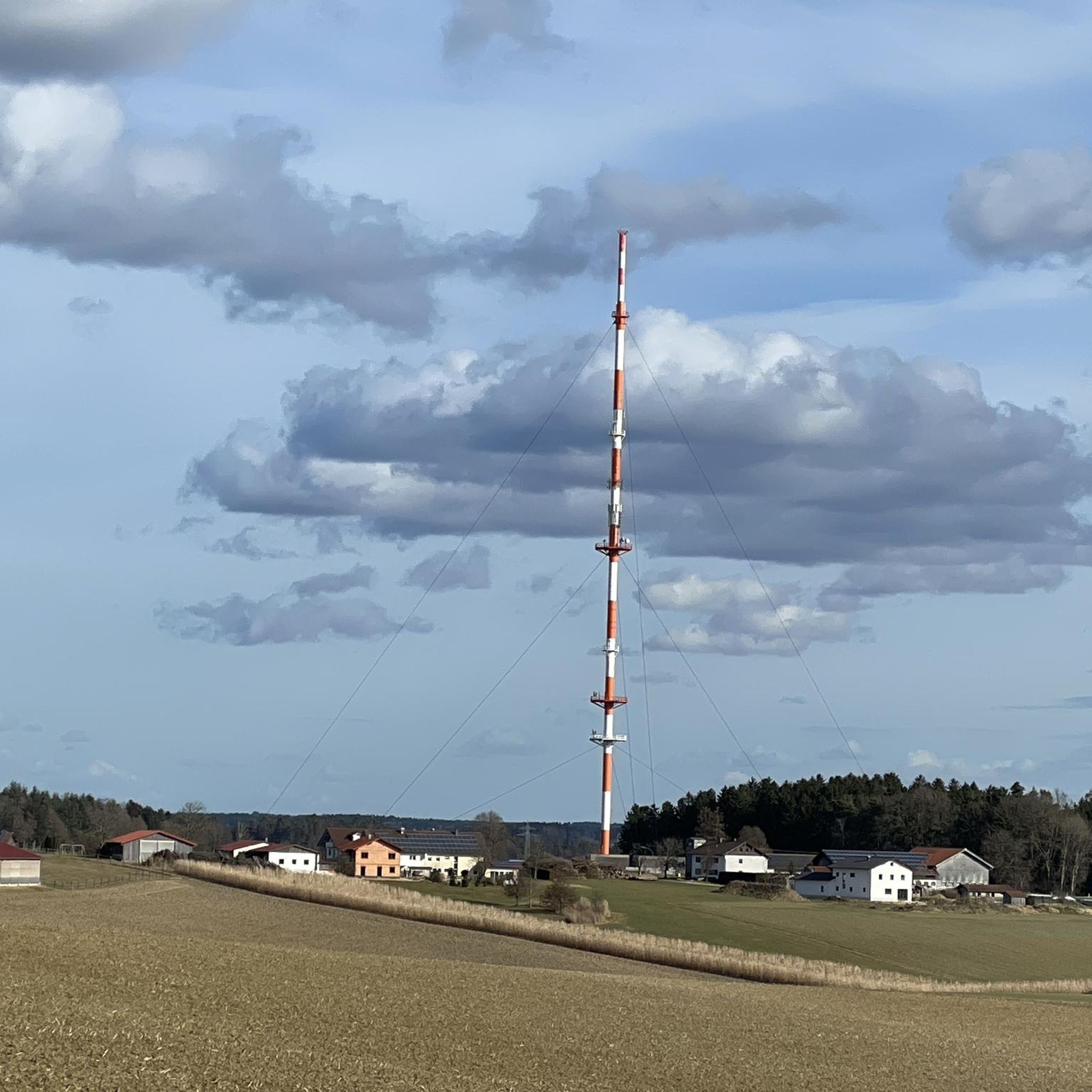
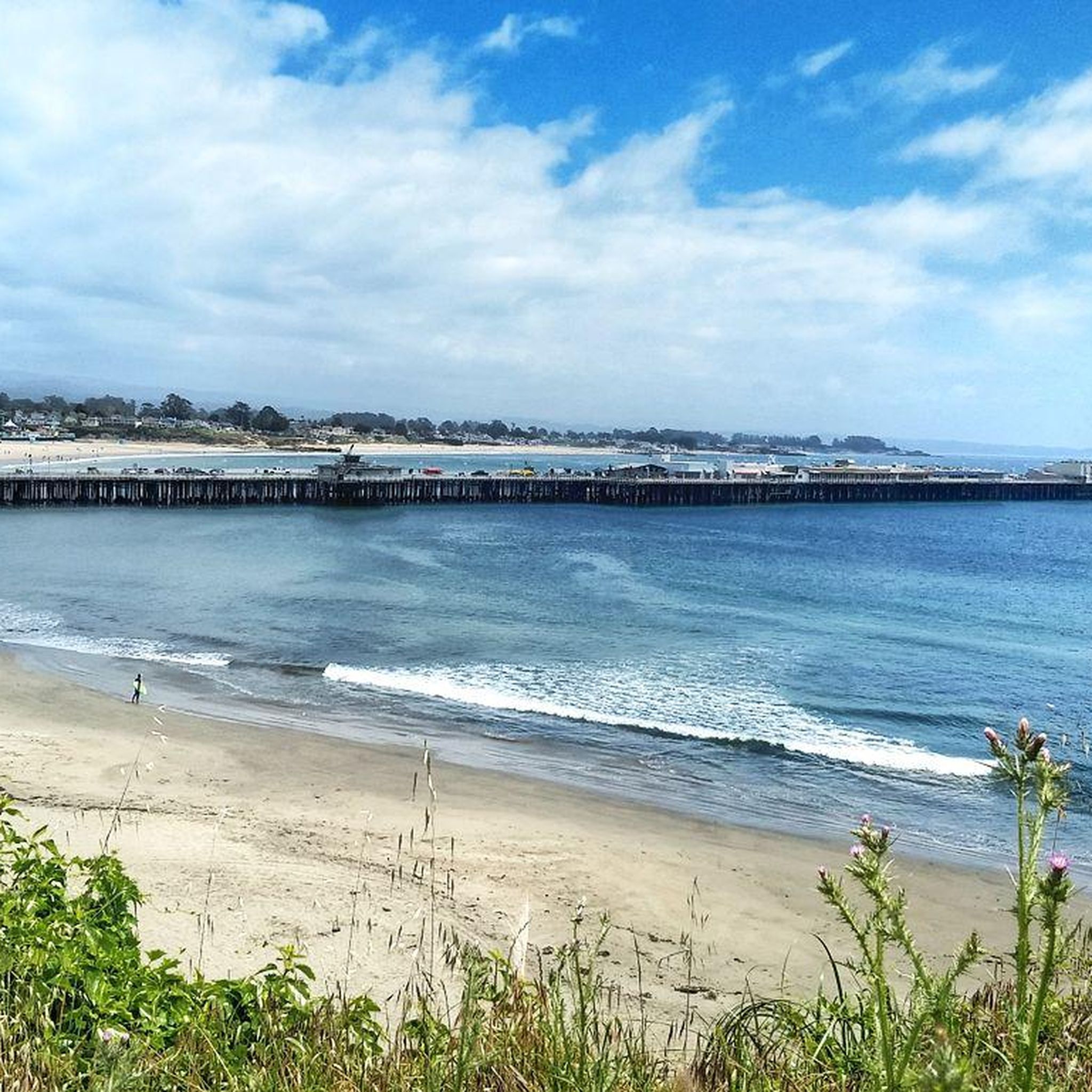
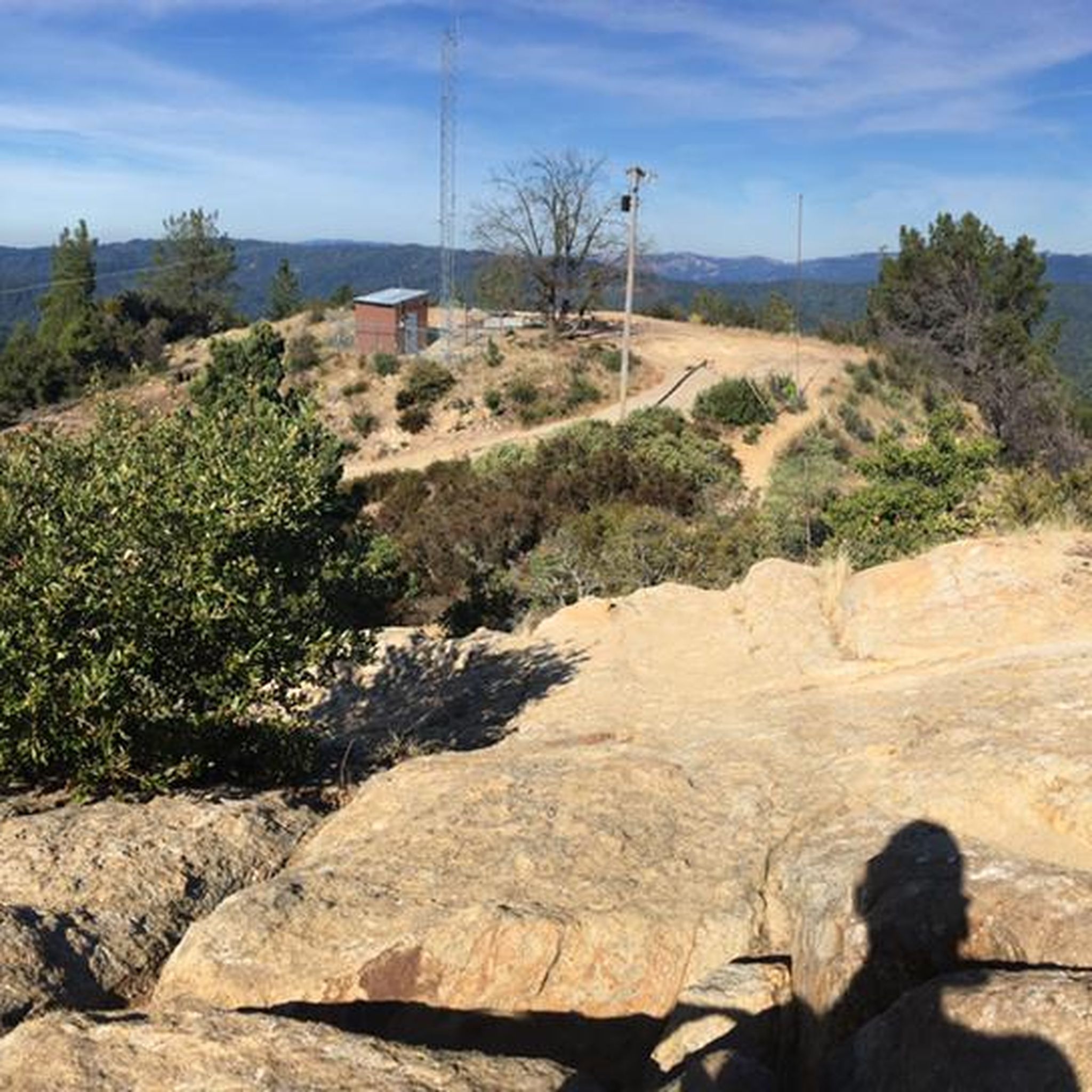
Tips from the Community

What's special about this path is that it takes you from Santa Cruz to the Wilder Ranch Park without using Route 1. Once there, you have multiple dirt path choices to ride around up into the park.
0
0

Redwood trees are some of the tallest and oldest living organisms on Earth. Towering up to 350 feet, these majestic trees can live for over 2,000 years. Found primarily along the coast of Northern California, redwoods thrive in the cool, foggy climate. Their thick, reddish bark provides protection from fire and insects, making them incredibly resilient. Walking among these giants is a humbling experience, with their sheer size and age creating an awe-inspiring atmosphere.
0
0

Big Basin Redwoods State Park has reopened for limited day use following the 2020 CZU Lightning Complex Fire. Visitors can explore trails like Redwood Loop and Meteor Trail, where resilient redwoods stand alongside new growth. Parking is $6 per vehicle with a $2 reservation fee or $10 without reservations. Rancho del Oso, the park’s coastal area, requires no reservations or fees. Dogs, horses, and mountain bikes are welcome in designated areas, while drones are prohibited. Road biking is allowed on all roads.
0
0

This place looks like it is straight out of the Hobbit or LoTR’s complete with intricate tiles…
0
0

The Santa Cruz Riverwalk runs along the San Lorenzo River levee from the Highway 1 Bridge to the Santa Cruz Beach Boardwalk, providing easy access to downtown Santa Cruz.
0
0

In the summer of 1885, three young Hawaiian princes ignited the California coast's surfing phenomenon by introducing their boards and the ancient Hawaiian sport to the American mainland. A commemorative plaque near the former lighthouse, now home to a quaint surfing museum, immortalizes this significant moment in history.
0
0
The surfer statue along West Cliff Drive is a landmark of Santa Cruz. The statue stands at 18 feet tall and was inspired by members of the 1936 Santa Cruz Surfing Club.
0
0
The Santa Cruz Beach Boardwalk is California's oldest surviving amusement park. This 24-acre park was founded in 1907 and offers old-fashioned carnival games and food booths.
0
0
Frequently Asked Questions
How many road cycling routes are available in the San Lorenzo Valley Water District?
There are over 15 road cycling routes available in the San Lorenzo Valley Water District on komoot. These routes offer a diverse range of experiences, from moderate loops to challenging mountain climbs.
What is the difficulty range of road cycling routes in the San Lorenzo Valley Water District?
The San Lorenzo Valley Water District offers a variety of road cycling routes catering to different skill levels. You'll find 1 easy route, 9 moderate routes, and 8 difficult routes, ensuring options for both casual riders and experienced cyclists seeking a challenge.
Are there routes suitable for beginners or less experienced cyclists?
Yes, while many routes feature varied terrain, there is at least one easy route available. Additionally, some sections of routes like the Henry Cowell Pipeline Road Trail offer initial flat sections along the San Lorenzo River that are suitable for beginners. For a very accessible experience, the San Lorenzo Riverwalk in nearby Santa Cruz provides a flat, paved path.
What kind of scenery can I expect on road cycling routes in the San Lorenzo Valley?
Road cycling in the San Lorenzo Valley Water District offers stunning scenery, primarily characterized by towering redwood forests, lush river valleys, and the winding San Lorenzo River. Routes often traverse through these natural landscapes, providing a serene and picturesque backdrop for your ride.
Are there any notable landmarks or attractions to see along the routes?
While cycling, you can expect to pass through areas rich in natural beauty. The region is home to redwood forests, and you might encounter historical sites like the Felton Covered Bridge. Some routes may also offer views towards the coast or pass near attractions like Roaring Camp Railroads, providing scenic stops during your ride.
Can I find routes that pass through redwood forests?
Absolutely. The towering redwood forests are a defining feature of the San Lorenzo Valley. Many routes, such as the Big Basin Redwood State Park loop from Big Basin Way & Hilton Drive, wind through these majestic groves, offering shaded and scenic rides, especially pleasant during warmer months.
What is the best time of year for road cycling in the San Lorenzo Valley?
The San Lorenzo Valley offers pleasant cycling conditions for much of the year. The redwood forests provide natural shade, which can be particularly appealing during warmer months. Spring and fall generally offer mild temperatures and beautiful scenery, though the region's lushness makes it attractive year-round.
Are there loop road cycling routes available?
Yes, many of the road cycling routes in the San Lorenzo Valley Water District are designed as loops, allowing you to start and end at the same point. Examples include the Roadbike loop from Forest Springs and the Felton – Boulder Creek loop from Boulder Creek, providing convenient options for your ride.
Where can I park when going road cycling in the San Lorenzo Valley?
Parking availability varies by starting point. Many routes begin near towns like Felton, Ben Lomond, or Boulder Creek, where public parking may be available. For routes accessing state parks or specific trailheads, designated parking lots are typically provided. It's advisable to check specific route details for parking recommendations.
Are there any cafes or places to stop for refreshments along the routes?
Yes, the towns within the San Lorenzo Valley, such as Felton, Ben Lomond, and Boulder Creek, offer various cafes and eateries where you can stop for refreshments. Routes that pass through or near these communities provide convenient opportunities to refuel during your ride.
What do other road cyclists enjoy the most about road cycling in the San Lorenzo Valley Water District?
The San Lorenzo Valley Water District is highly rated by the komoot community, with an average score of 4.7 stars from 6 reviews. Cyclists often praise the diverse terrain, the stunning redwood forests, and the scenic river valleys that make for a memorable riding experience. The variety of routes, from moderate to difficult, is also frequently appreciated.
Are there challenging routes for experienced road cyclists?
Definitely. The Santa Cruz Mountains terrain provides ample challenge for experienced road cyclists. Routes like the Shark Fin Cove Beach – Santa Cruz Boardwalk loop from Felton Roaring Camp and the Felton – Boulder Creek loop from Boulder Creek feature significant elevation gains and longer distances, perfect for those seeking a demanding ride.
Most popular routes in San Lorenzo Valley Water District

Get inspired with the komoot mobile app


Explore more
Browse the best Road cycling routes in other regions.
