The best MTB trails in Big Creek Forests
4.5
(29)
567
riders
17
rides
Mountain biking in Big Creek Forests offers a network of trails within Santa Cruz County, characterized by dense woodlands and varied terrain. The region features a mix of elevations, from rolling hills to more significant climbs, providing diverse experiences for mountain bikers. These forests are known for their natural beauty and offer a setting for both challenging rides and more relaxed excursions. The landscape primarily consists of forested areas, with some routes potentially offering glimpses of the wider Santa Cruz…
Last updated: October 11, 2026
2.0
(1)
44
riders
23.4km
02:10
620m
620m
Moderate mountain bike ride. Good fitness required. Suitable for all skill levels.
4.5
(10)
119
riders
43.2km
03:41
820m
820m
Moderate mountain bike ride. Good fitness required. Suitable for all skill levels.

17
riders
33.7km
02:46
470m
470m
Moderate mountain bike ride. Good fitness required. Suitable for all skill levels.
5.0
(1)
16
riders
30.9km
03:13
770m
770m
Moderate mountain bike ride. Good fitness required. Advanced riding skills necessary.
16
riders
Moderate mountain bike ride. Good fitness required. Suitable for all skill levels.
Get access to more routes and recommendations from other explorers.
Already have an account?
Our route recommendations are based on thousands of hikes, rides, and runs completed by other people on komoot.
Start today with a free account
Your next adventure awaits.

Tips from the Community

Turtle Rock is the highest and most prominent mountain in the area. From this viewpoint, you can enjoy a panoramic view of the surrounding mountains, especially stunning at sunset. Be cautious, as the trail is popular and often busy with hikers.
1
0

Long Ridge Open Space Preserve is a 2,035-acre preserve that follows Long Ridge in the Santa Cruz Mountains. There are a variety of trails that can be used for hiking, biking, or horse riding. This is a dirt trail area, so it is more suited for gravel bikes or a stout touring bike; a hardtail would be ideal. In addition, this is a preserve and not a park, so there are no facilities that you would normally expect in a park, such as bathrooms, drinking water fountains, picnic tables, snack bars, or stores.
1
0
At the convergence of the Long Ridge Trail and Long Ridge Road, you will find the Wallace Stegner Bench. This overlook was one of the favorite places of author and conservationist Wallace Stegner. There are panoramic views of the Santa Cruz Mountains and the Pacific Ocean to be had from here. However, if you come up by bike, the dirt trail is best suited for a touring bike with decent tires or a gravel bike.
1
0

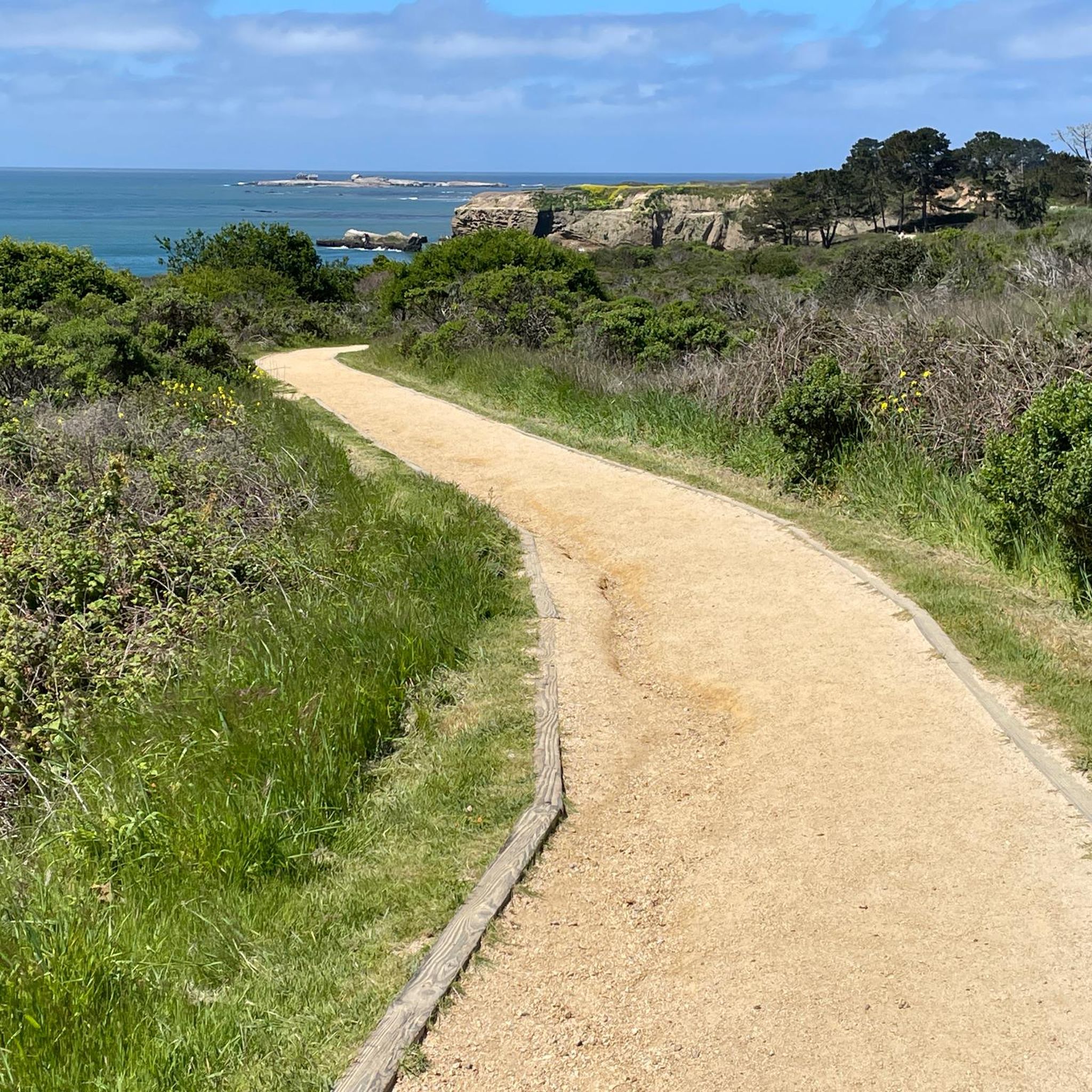
The Wilder Ranch Bike Path is an entirely paved trail away from the nearby busy highway. The path helps connect Wilder Ranch State Park to Santa Cruz and is open to runners and walkers, too.
0
0

This area is a steep, gullied region containing numerous springs and seeps (areas where water oozes slowly out of the ground). A diverse range of wildlife, including bobcats, cows, eagles, and squirrels, can be found here.
0
0

Turtle Rock gets its name because it looks like a little turtle with its head sticking up. This is a stunning spot to take a break and enjoy the overlook of the rolling hills and clouds roaming through the valleys.
0
0
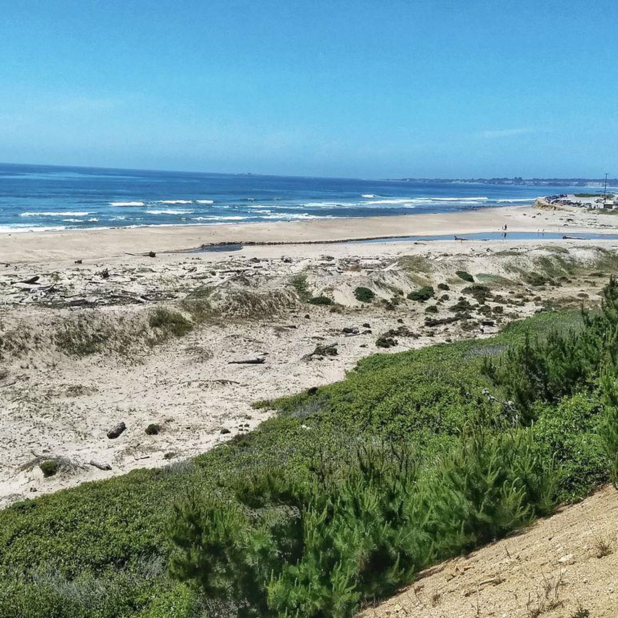
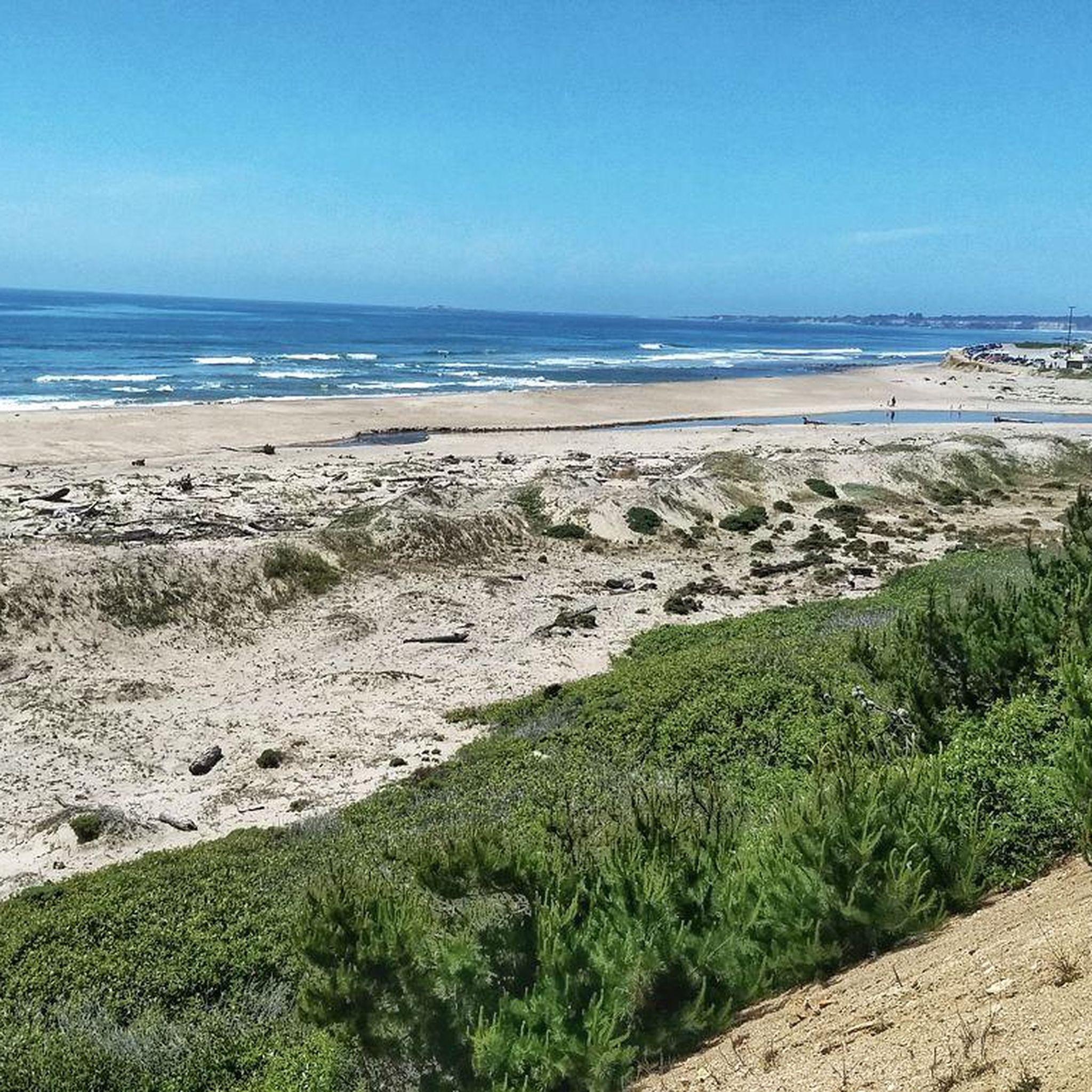
Pretty much the entire trail passing through Four Mile Beach is up on the cliffside and offers expansive views, but this particular vantage point is worth taking a detour for.
0
0
The main entrance into Wilder Dairy Cultural Preserve is off of Coast Road, while there is also a back entrance from the Bike Path. This historic ranch is owned by the state and has been preserved within the park's open space. The creamery is no longer in service, but there are restrooms, water fountains, and educational signs located here.
0
0
Frequently Asked Questions
How many mountain bike trails are there in Big Creek Forests?
Big Creek Forests offers a network of over 15 mountain bike trails, catering to various skill levels. These routes are highly rated by the komoot community, with an average score of 4.5 stars.
What is the typical difficulty of mountain bike trails in Big Creek Forests?
The trails in Big Creek Forests offer a good mix of difficulties. You'll find 4 easy routes, 10 moderate routes, and 1 difficult route, ensuring options for riders of all experience levels.
Are there any family-friendly mountain bike trails in Big Creek Forests?
Yes, there are several easier routes suitable for families or beginners. For example, the Mountainbike loop from North Meadow is an easy 10.6 km trail that takes about 1 hour 3 minutes to complete, offering a gentle introduction to the area's terrain.
What are the typical distances for mountain bike trails in Big Creek Forests?
Trail distances vary significantly, from shorter loops around 10 km to longer, more challenging rides exceeding 40 km. For instance, the Wild Boar Trail – Wilder Ranch Bike Path loop from Pineridge is a substantial 43.2 km route, while the Eucalyptus Loop – Enchanted Loop loop from West Marshall Field Natural Reserve is a moderate 18.8 km.
When is the best time of year to go mountain biking in Big Creek Forests?
Big Creek Forests, located in Santa Cruz County, generally offers pleasant riding conditions for much of the year. Spring and fall often provide the most comfortable temperatures and vibrant scenery. While winter riding is possible, be prepared for potentially wet and muddy conditions, especially after rainfall.
Are there loop trails available for mountain biking in Big Creek Forests?
Many of the mountain bike routes in Big Creek Forests are designed as loops, providing a convenient and varied riding experience. Examples include the popular Four Mile Beach – Needle Rock loop from Empire Grade & Smith Grade and the Wild Boar Trail – Wilder Ranch Bike Path loop from North Meadow.
What do other mountain bikers enjoy most about riding in Big Creek Forests?
The area is highly rated by the komoot community, with an average score of 4.5 stars. Reviewers often praise the dense woodlands, varied forest paths, and the mix of elevations that provide both challenging climbs and enjoyable descents. The natural beauty and diverse terrain are frequently highlighted.
Are there any scenic viewpoints along the mountain bike trails?
While the Big Creek Forests are primarily characterized by dense woodlands, some routes, particularly those closer to the coast or higher elevations, may offer glimpses of the wider Santa Cruz County environment and potential coastal views. For example, the Four Mile Beach – Needle Rock loop is noted for its mix of coastal views and forested sections.
Where can I find parking for mountain bike trails in Big Creek Forests?
Specific parking information can vary by trailhead. Many routes start from established areas like Pineridge, Empire Grade & Smith Grade, North Meadow, or West Marshall Field Natural Reserve. It's advisable to check the individual route details on komoot for the most precise starting points and parking suggestions.
Are there options for advanced mountain bikers in Big Creek Forests?
Yes, Big Creek Forests includes routes that cater to more experienced riders. While most trails are moderate, there is at least one difficult route available. These trails often feature more significant climbs and technical sections, providing a good challenge for advanced mountain bikers.
Can I mountain bike in Big Creek Forests during winter?
Mountain biking is generally possible in Big Creek Forests during winter. However, as with any forested area, trails can become muddy and slippery after rain. It's always recommended to check local weather conditions and trail reports before heading out to ensure a safe and enjoyable ride.
Are there cafes or places to eat near the mountain bike trails?
Big Creek Forests is a natural area within Santa Cruz County. While the trails themselves are within dense woodlands, nearby towns and communities in Santa Cruz County will offer various dining options and cafes. You'll likely find amenities a short drive from the main trailheads.
Most popular routes in Big Creek Forests

Get inspired with the komoot mobile app


Explore more
Browse the best MTB trails in other regions.
