The best walks and hikes in Beaver Lodge Forest Lands
4.5
(215)
1,561
hikers
18
hikes
Hiking in Beaver Lodge Forest Lands offers an extensive multi-use trail network within a 520-hectare second-growth forest. The terrain features diverse tree species, including Douglas Fir and Western Hemlock, alongside picturesque ponds, wetlands, and streams like Simms Creek. Many routes are easy grade, with some sections presenting more challenging rooty and winding paths. The area provides varied landscapes for exploration, from dense woodlands to open areas around water features.
Best hiking trails in Beaver Lodge Forest Lands
- The most popular hiking route is Elk Falls – Elk Falls Suspension Bridge loop from Quinsam at Detweiler (WB), a 7.5 miles (12.1 km) trail that takes 3 hours 20 minutes to complete. This route features a moderate difficulty grade with notable elevation gain.
- Another top favourite among local hikers is Fern-Lined Forest Path – Moss-Covered Tree Trunk loop from Quinsam at Detweiler (WB), an easy 4.0 miles (6.4 km) path. This trail winds through lush forest with minimal elevation changes, offering a tranquil experience.
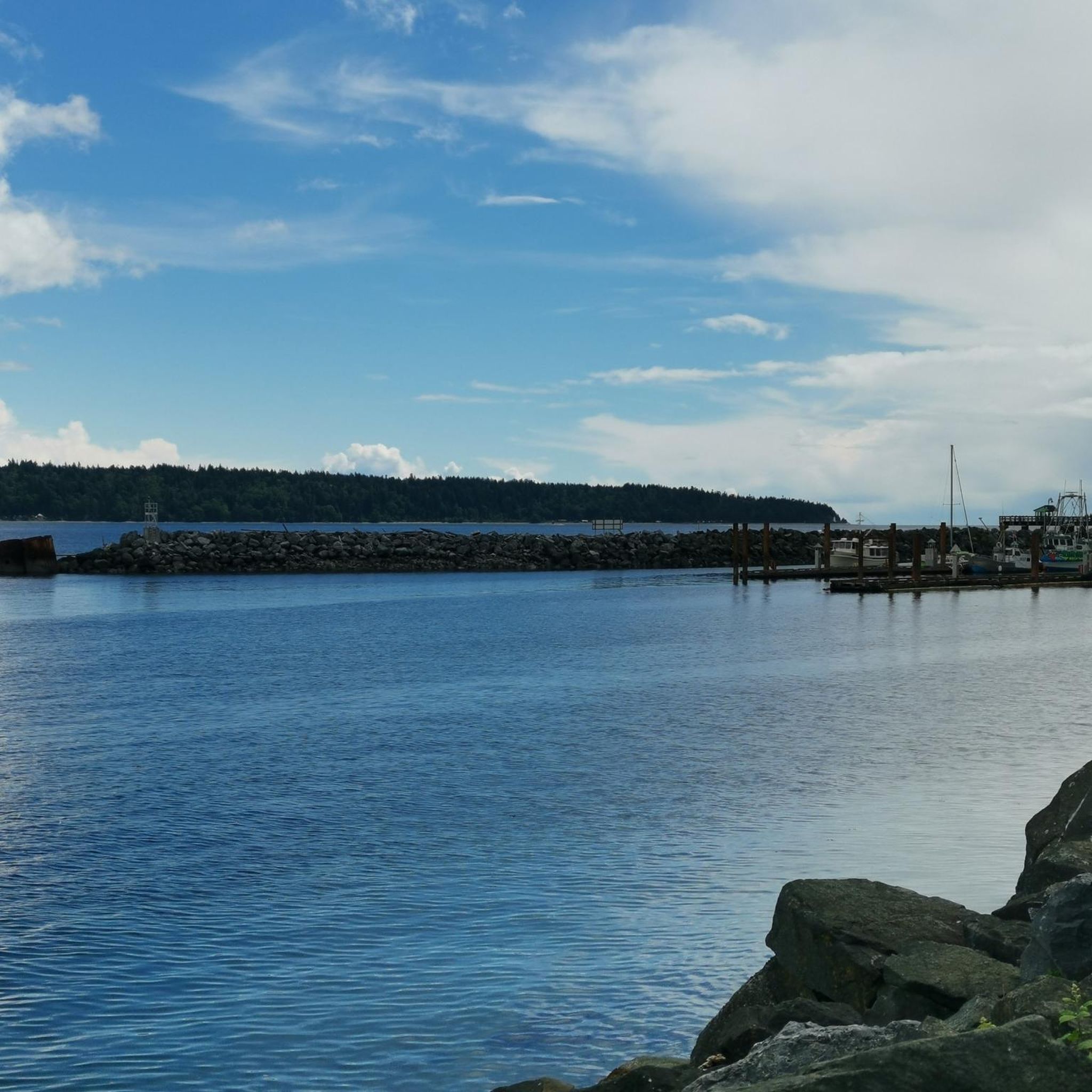
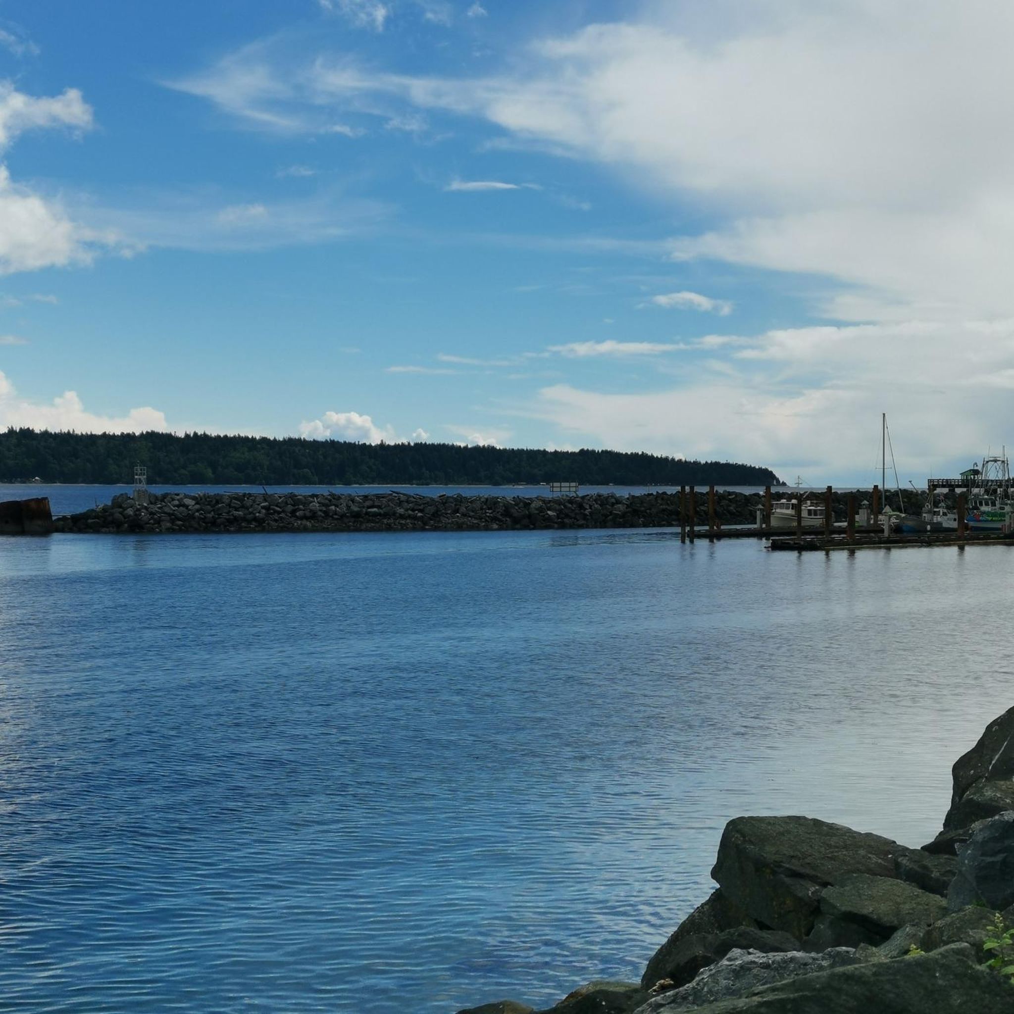
- Local hikers also love the Rotary Seawalk, a 3.2 miles (5.1 km) trail leading through varied landscapes, often completed in about 1 hour 20 minutes.
- Hiking in Beaver Lodge Forest Lands is defined by diverse second-growth forests, tranquil ponds, and flowing streams. The network offers options for different ability levels, from easy, accessible paths to more challenging, winding sections.
- The routes in Beaver Lodge Forest Lands are highly rated by the komoot community with an average score of 4.6 stars from over 300 reviews. More than 1900 hikers have used komoot to explore Beaver Lodge Forest Lands's varied terrain.
Last updated: September 29, 2026
1.0
(1)
7
hikers
4.54km
01:11
40m
40m
Easy hike. Great for any fitness level. Easily-accessible paths. Suitable for all skill levels.
6
hikers
5.76km
01:30
30m
30m
Easy hike. Great for any fitness level. Easily-accessible paths. Suitable for all skill levels.

6
hikers
5.09km
01:19
30m
30m
Easy hike. Great for any fitness level. Easily-accessible paths. Suitable for all skill levels.
4
hikers
4.97km
01:18
30m
30m
Easy hike. Great for any fitness level. Easily-accessible paths. Suitable for all skill levels.
2
hikers
13.1km
03:29
110m
110m
Moderate hike. Good fitness required. Easily-accessible paths. Suitable for all skill levels.
Get access to more routes and recommendations from other explorers.
Already have an account?
Our route recommendations are based on thousands of hikes, rides, and runs completed by other people on komoot.
Start today with a free account
Your next adventure awaits.
Popular around Beaver Lodge Forest Lands
Tips from the Community

The whole trail system around Willow Creek is amazing. You quickly dive into a dense forest and lush greenery. Here, a wooden bridge offers a great view over the waterway surrounded by tall trees. A great spot to stop to contemplate for a little while.
0
0
This wetland pocket of Willow Creek Conservation Area changes character with the seasons, as water levels rise, retreat and reshape the landscape. When the water is high, it feels like a small hidden lake; when it drops, mud, grasses and wetland edges become part of the show. Keep an eye out for forest birds moving through the surrounding trees.
0
0
Following Willow Creek, this trail traces part of an important salmon stream through quiet forest and spring wildflowers. Listen for woodpeckers, chickadees, nuthatches and wrens in the trees, and notice the area’s layered past: once homesteaded by the Palmer family, later home to Willow Creek Waterworks, and now protected by the Nature Trust of BC.
0
0

ERT travels north-south across Beaver Lodge Forest Lands, and halfway though its course becomes Airport Main. This trail is a wide forest service trail, wide enough to walk side by side with a friend and maintain a conversation while still seeing so much beauty that Beaver Lodge Lands has to offer.
0
0
Butterfly Trail brings hikers deep into Beaver Lodge Forest Lands. The trail is easy to follow and is park of a loop through thick forest and over babbling brookes with small wooden footbridges. Explore the woods that were BC's first large-scale operational tree plantation, and the birthplace of the modern planting shovel used by tree planters today.
0
0

This small creek flows through the Beaver Lodge Forest Lands outside of Campbell River. The creek's riparian area forms an important habitat for many species. Ongoing works to restore the creek can be found along the creek side from time to time, so be sure to follow any posted signage.
0
0
The Beaver Lodge Forest Lands are located on the edge of Campbell River in BC. Visitor can enjoy the many trails that crisscross the forest allowing access to hiking and mountain biking. The area was heavily logged in the past but it is now overseen by a land trust and has become a haven for a wide range of flora and fauna.
0
0
This multi-use trail was built on top of an old logging route and is suitable for all ages and ability levels. The 3 kilometre trail can be taken as an out and back hike or combined with other trails in the area for longer journeys and loop hikes.
0
0
Frequently Asked Questions
How many hiking trails are available in Beaver Lodge Forest Lands?
Beaver Lodge Forest Lands offers over a dozen distinct hiking routes. The komoot community has mapped 13 trails, ranging from easy strolls to moderate hikes, ensuring options for various skill levels.
What is the general difficulty level of trails in Beaver Lodge Forest Lands?
The majority of trails in Beaver Lodge Forest Lands are considered easy, with 11 out of 13 routes rated as such. There are also 2 moderate trails for those seeking a bit more challenge. The terrain often features easy grades, though some sections can be rooty and winding.
Are there any family-friendly or accessible trails in Beaver Lodge Forest Lands?
Yes, many trails in Beaver Lodge Forest Lands are designed with easy grades, making them suitable for families. Some sections are even wheelchair and stroller-friendly. For a tranquil experience, consider the Fern-Lined Forest Path – Moss-Covered Tree Trunk loop, an easy 6.4 km path through lush forest.
Can I bring my dog on the trails in Beaver Lodge Forest Lands?
Beaver Lodge Forest Lands is a multi-use area, and dogs are generally welcome on the trails. However, it's always recommended to keep them on a leash and practice responsible pet ownership, especially given the abundant wildlife in the area.
What kind of natural features can I expect to see while hiking?
Hikers can immerse themselves in a diverse second-growth forest with various tree species like Douglas Fir, Western Hemlock, and Bigleaf Maple. The trail network also leads to picturesque ponds, wetlands, and marshes, and follows streams like Simms Creek, offering excellent opportunities for birdwatching and enjoying tranquil natural settings.
Are there any circular routes available for hiking?
Yes, several circular routes are available. For example, the Elk Falls – Elk Falls Suspension Bridge loop is a moderate 12.1 km trail, while the Rotary Seawalk offers an easy 5.1 km loop through varied landscapes.
What is the best time of year to hike in Beaver Lodge Forest Lands?
Beaver Lodge Forest Lands offers year-round hiking opportunities. The presence of deciduous Western Larch, with needles that turn golden in the fall, adds seasonal beauty. The thick tree cover and lush ferns make it enjoyable even on warmer days, while the well-maintained trails are generally accessible in most conditions.
What wildlife might I encounter in Beaver Lodge Forest Lands?
The diverse ecosystems support a wide array of wildlife. Birdlife is particularly abundant, and visitors might also spot deer, bears, cougars, eagles, beavers, owls, muskrats, coho salmon, and cutthroat trout. It's a fantastic location for nature observation.
Where can I park when visiting Beaver Lodge Forest Lands?
The main trailhead for Beaver Lodge Forest Lands is conveniently located on Trask Road in Campbell River, offering ample parking. Additional access points are also available, and the trails are well-marked for ease of use.
What do other hikers say about their experience in Beaver Lodge Forest Lands?
The trails in Beaver Lodge Forest Lands are highly rated by the komoot community, with an average score of 4.6 stars from over 300 reviews. Hikers often praise the tranquil forest environment, the well-maintained paths, and the opportunity to connect with nature through 'forest bathing' experiences.
Are there any specific attractions or landmarks within the Beaver Lodge Forest Lands?
While there aren't specific man-made landmarks, the area itself is a natural attraction. Hikers can explore diverse second-growth forests, discover picturesque ponds and wetlands, and follow the course of Simms Creek. The highlight is truly the immersive natural environment, perfect for birdwatching and relaxation.
How long do typical hikes take in Beaver Lodge Forest Lands?
Hike durations vary depending on the route and your pace. Easy trails like the Rotary Seawalk (5.1 km) can be completed in about 1 hour 20 minutes. Longer, moderate routes such as the Elk Falls – Elk Falls Suspension Bridge loop (12.1 km) typically take around 3 hours 20 minutes.
Most popular routes in Beaver Lodge Forest Lands

Get inspired with the komoot mobile app


Explore more
Browse the best Hikes in other regions.
