The best cycling routes in Upper Trent River Woodlands
4.5
(15)
229
riders
21
rides
Touring cycling in Upper Trent River Woodlands offers a diverse landscape for cyclists, characterized by river views, quiet country roads, and varied terrain. The region features the Trent-Severn Waterway, providing unique visual interest, and includes natural spaces like conservation areas. Routes often combine journeys through charming towns with scenic countryside, catering to different cycling preferences from well-paved surfaces to more challenging unpaved segments.
Best touring cycling routes in Upper Trent River Woodlands
- The most popular touring cycling route is Cumberland…
Last updated: September 28, 2026
7
riders
25.8km
02:33
490m
490m
Hard bike ride. Very good fitness required. Mostly paved surfaces. Suitable for all skill levels.
3.0
(3)
8
riders
27.9km
01:45
210m
210m
Moderate bike ride. Good fitness required. Mostly paved surfaces. Suitable for all skill levels.

5.0
(1)
13
riders
17.0km
01:05
90m
90m
Easy bike ride. Great for any fitness level. Mostly paved surfaces. Suitable for all skill levels.
5.0
(1)
11
riders
14.8km
01:03
90m
90m
Easy bike ride. Great for any fitness level. Mostly paved surfaces. Suitable for all skill levels.
10
riders
Hard bike ride. Very good fitness required. Mostly paved surfaces. Suitable for all skill levels.
Get access to more routes and recommendations from other explorers.
Already have an account?
Our route recommendations are based on thousands of hikes, rides, and runs completed by other people on komoot.
Start today with a free account
Your next adventure awaits.

Tips from the Community

Very nice path to take me out of Courtenay.
0
0

There are a bunch of seaplanes and other small aircraft that are usually parked along the fence opposite the Riverway Path. You can check them out as you pass by.
0
0
This path takes you through Courtenay's urban area, partially sheltered on either side by strips of greenery, between downtown and the riverfront. You share the path with cyclists, but the trail is paved and divided to ease multi-use traffic.
0
0
Totem poles by the K’ómoks First Nation have been installed in Courtenay over the past decade to bring greater recognition to indigenous culture. This one overlooks the salt marsh and the banks of the Courtenay River.
0
0

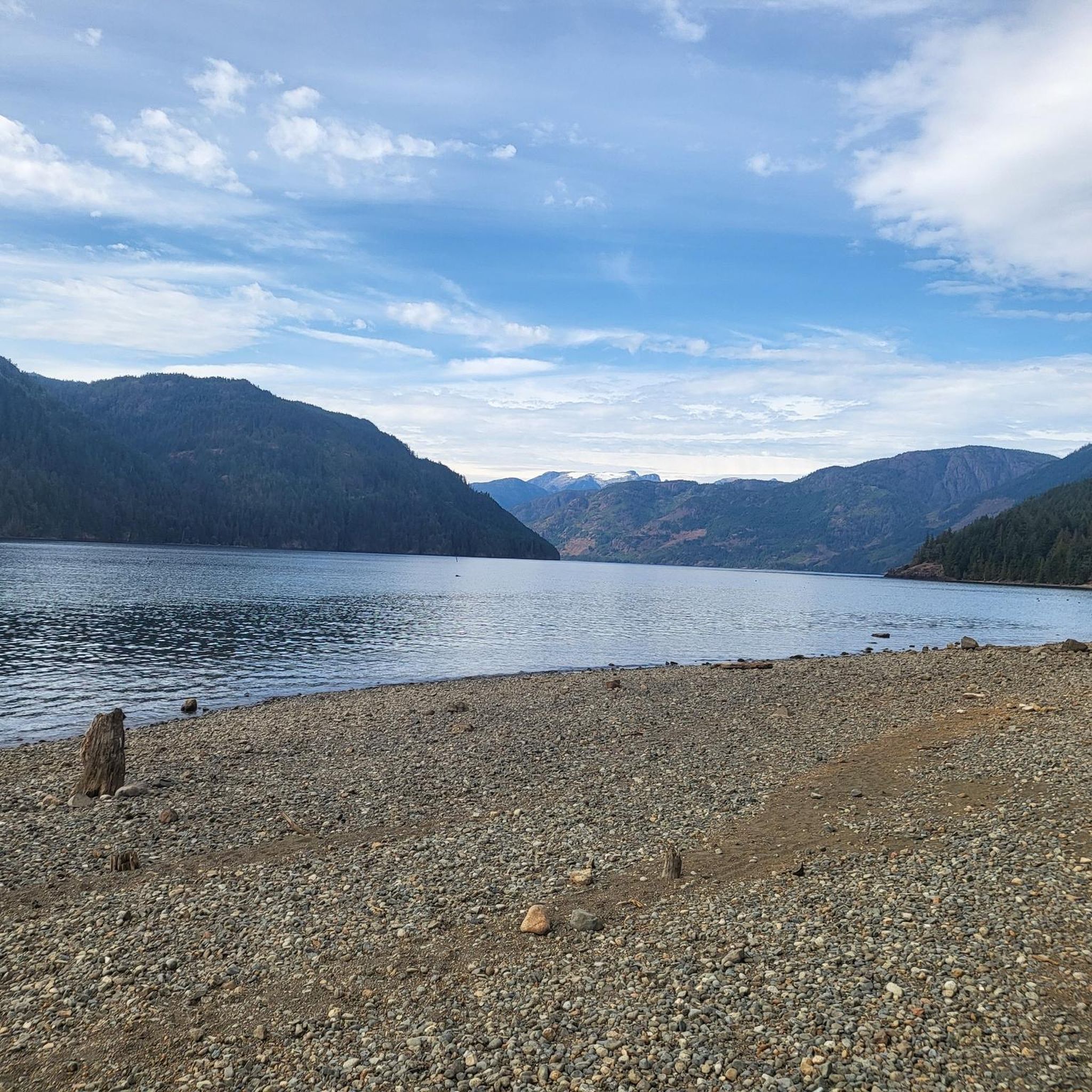
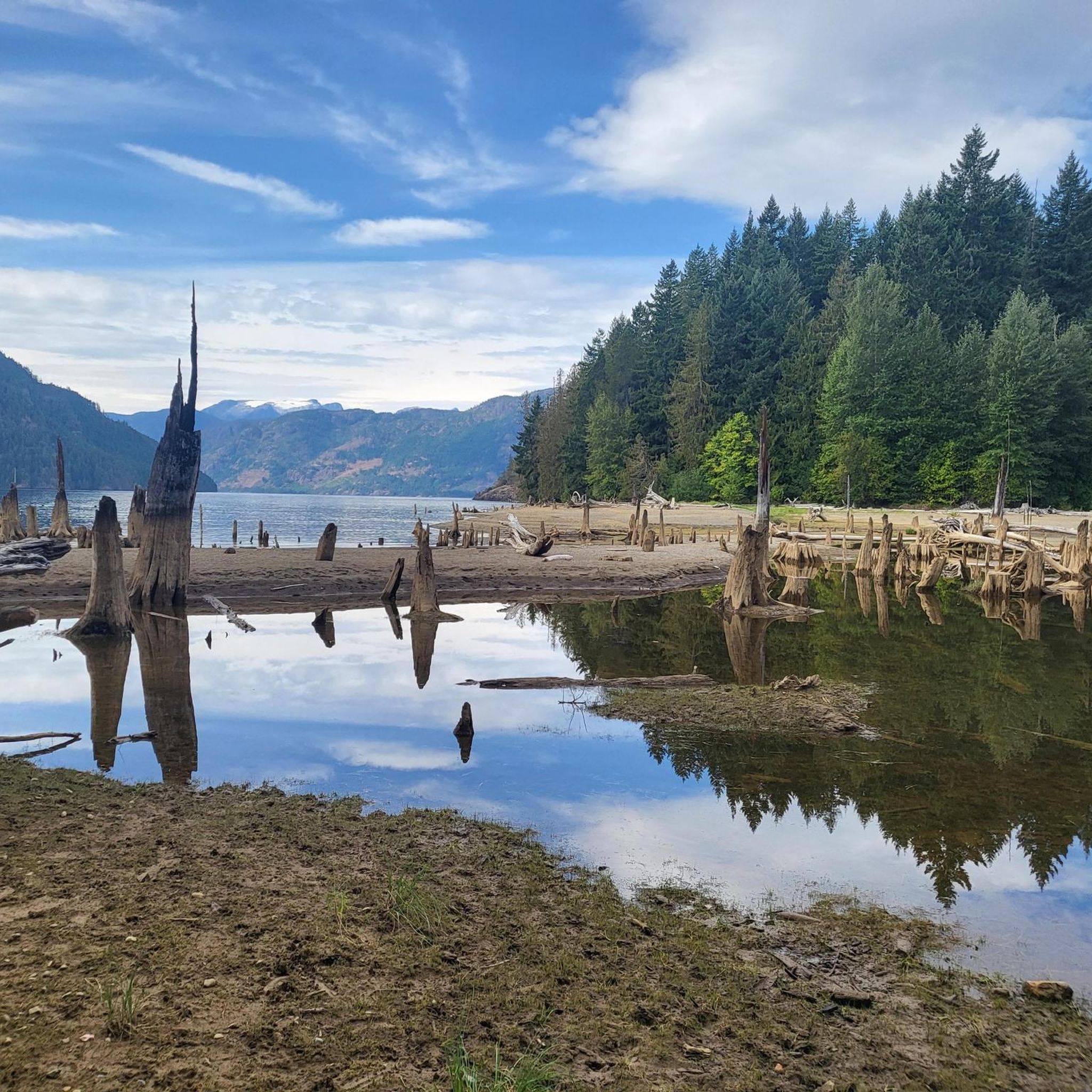
Comox Harbour is a sheltered inlet on the east coast of Vancouver Island, opening into the Strait of Georgia. The water is generally calm, shaped by tides that expose mudflats and sandbars along the shoreline. Backed by distant mountains and coastal communities, it forms a wide, open marine landscape that changes noticeably throughout the day.
0
0
Royston Seaside Trail follows the shoreline of Comox Harbour, and is a flat, gravel path between the water and a narrow strip of coastal vegetation. The trail is short, with driftwood, tidal flats, and small beaches lining the edge of the harbour. With constant ocean views and minimal elevation change, it's a great route for a quick scenic stroll along the waterfront.
0
0
Shingle Spit is a pebbly gravel-bar beach and Hornby Island’s main ferry landing for visitors. The spit is a year‑round wildlife haven, where you’ll likely see plenty of seals, sea lions, cormorants, and dozens of bald eagles during the herring spawn. Just steps from the ferry dock sits Thatch Pub and Restaurant, the island’s only full-service pub with a waterfront deck, making it the perfect lunch spot to enjoy some local fare and take in the scenery during a day of hiking in this beautiful area.
0
0
The Ford Cove to Shingle Spit Trail winds through forested terrain from Ford Cove to the ferry-landing area at Shingle Spit, following the coastline and staying mostly level, making it suitable for hiking or casual cycling. Along the way, you pass wooded hillsides, small bridges over gullies and streams, and near the halfway point, a seasonal waterfall. There are plenty of breathtaking views of the channel and surrounding islands, making this path the perfect mix of forest and coastal scenery.
0
0
Frequently Asked Questions
How many touring cycling routes are available in Upper Trent River Woodlands?
The Upper Trent River Woodlands region offers a good selection of touring cycling routes, with over 25 options to explore. These routes cater to various skill levels, from easy scenic rides to more challenging adventures.
What kind of terrain can I expect on touring cycling routes in Upper Trent River Woodlands?
You'll find a diverse range of terrain. Many routes feature generally well-paved surfaces and quiet country roads, perfect for a smooth touring experience. However, some segments, particularly along portions of the Trans-Canada Trail, may be unpaved and more challenging, making them better suited for hybrid or gravel bikes. The region frequently combines river views with journeys through charming towns and picturesque countryside.
Are there any easy touring cycling routes suitable for beginners or families?
Yes, there are several easy routes perfect for beginners or families looking for a relaxed ride. For instance, the Ace Brewing Company – Courtenay Airpark loop from HMCS Gatineau is an accessible 10.6-mile (17.1 km) trail. Another easy option is the Courtenay Airpark – The Canteen loop from HMCS Gatineau, which covers about 9.1 miles (14.6 km).
What are some notable natural features or viewpoints along the touring cycling routes?
The region is rich in natural beauty. You can enjoy extensive river views, especially along the Trent Valley, and experience the unique visual interest of the Trent-Severn Waterway with its 44 locks. The Upper Derwent Valley features scenic reservoirs, and natural spaces like Crowe Bridge Conservation Area offer peaceful resting spots. The spectacular Ranney Gorge Suspension Bridge provides stunning views over the riverbed and Northumberland County.
Are there any circular touring cycling routes in the Upper Trent River Woodlands?
Many of the touring cycling routes in Upper Trent River Woodlands are designed as loops, offering convenient circular journeys. Examples include the popular Cumberland Brewing Co. – China Bowls loop from Cumberland and the Ace Brewing Company – Courtenay Airpark loop from Cumberland. These circular routes allow you to start and finish at the same point, making logistics easier.
What do other touring cyclists say about the routes in Upper Trent River Woodlands?
The touring cycling routes in Upper Trent River Woodlands are highly regarded by the komoot community, boasting an average rating of 4.9 stars from over 9 reviews. Cyclists often praise the varied terrain, the scenic river views, and the opportunity to explore charming towns and quiet country roads.
Are there any challenging routes for experienced touring cyclists?
Yes, for experienced touring cyclists seeking a challenge, the region offers several difficult routes. The Cumberland Brewing Co. – China Bowls loop from Cumberland is a difficult 16.1-mile (25.8 km) route with significant elevation gain. Another demanding option is the Cumberland Brewing Co. – Cumberland Village Bakery loop from HMCS Gatineau, which spans 20.8 miles (33.4 km) and also features considerable climbing.
What kind of attractions or towns can I explore along the cycling routes?
Cycling routes often pass through historic towns and offer various scenic viewpoints. You can explore charming places like Warkworth, known for its artisan shops and cafés, or Campbellford. Historic landmarks such as Newark Castle are also accessible along certain loops. For a unique cultural stop, consider Church-Key Brewing, located in a former Methodist church.
Is there public transport available to access the touring cycling trails?
While specific public transport links directly to trailheads can vary, many routes are accessible from towns within the region. It's advisable to check local bus or train services for connections to key towns like Cumberland or those along the Trent Valley, which can serve as starting points for your cycling adventures.
Are there places to stop for refreshments or food along the routes?
Yes, many routes pass through or near towns that offer opportunities for refreshments. Towns like Warkworth and Campbellford have cafés and shops. Some routes even start or pass by establishments like Ace Brewing Company or Cumberland Brewing Co., providing convenient stops for a break and a bite.
What is the best time of year for touring cycling in Upper Trent River Woodlands?
The Upper Trent River Woodlands region is generally enjoyable for touring cycling from spring through autumn. During these seasons, the weather is typically milder, and the natural landscapes are at their most vibrant. While some paths may be accessible in winter, conditions can be more challenging due to colder temperatures or snow, making spring to fall the most popular times.
Most popular routes in Upper Trent River Woodlands

Get inspired with the komoot mobile app


Explore more
Browse the best Cycling routes in other regions.
