The best walks and hikes in Upper Qualicum River Woodlands
4.4
(210)
1,323
hikers
42
hikes
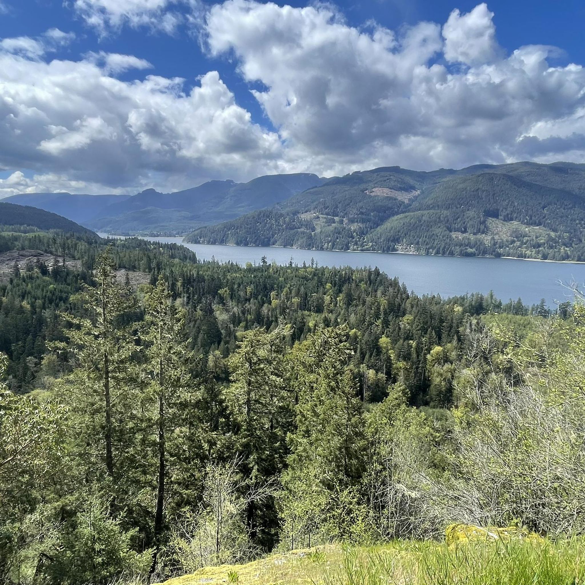
Hiking in Upper Qualicum River Woodlands features a landscape characterized by cascading waterfalls, rocky canyons, and old-growth forests, including Douglas firs. The region encompasses the Little Qualicum River, which flows from Cameron Lake, and the Big Qualicum River. Riverside trails are common, offering views of the water and surrounding West Coast forest. The terrain includes varied elevations, from gentle river paths to routes with more significant climbs.
Best hiking trails in Upper Qualicum River Woodlands
- The most popular hiking route…
Last updated: October 8, 2026
3.7
(3)
25
hikers
1.99km
00:39
100m
100m
Easy hike. Great for any fitness level. Easily-accessible paths. Suitable for all skill levels.
4.7
(68)
402
hikers
1.84km
00:31
30m
30m
Easy hike. Great for any fitness level. Easily-accessible paths. Suitable for all skill levels.

4.7
(3)
26
hikers
1.05km
00:17
20m
20m
Easy hike. Great for any fitness level. Easily-accessible paths. Suitable for all skill levels.
5.0
(3)
14
hikers
3.95km
01:09
100m
100m
Easy hike. Great for any fitness level. Easily-accessible paths. Suitable for all skill levels.
5.0
(3)
14
hikers
4.56km
01:16
80m
80m
Easy hike. Great for any fitness level. Easily-accessible paths. Suitable for all skill levels.
Get access to more routes and recommendations from other explorers.
Already have an account?
Our route recommendations are based on thousands of hikes, rides, and runs completed by other people on komoot.
Start today with a free account
Your next adventure awaits.
Popular around Upper Qualicum River Woodlands
Tips from the Community

The bridge only exists in remnants. But: great route with steep sections through the valley.
1
0

It's an interesting experience walking the old railroad between Loon Lake and Summit Lake. The stretch across the western end of Summit Lake is particularly scenic. The original railway ties can be uneven, rotten or have gaps and some timbers have weathered considerably after decades without maintenance. It's best not to walk out onto the trestles unless you're comfortable assessing the conditions yourself. Generally not suitable for dogs.
0
0
Nestled within a spurce forest, Loon Lake is easily accessible from Port Alberni and attracts families and anglers. A walk along the old railway line to nearby Summit Lake is an interesting experience, while it's possible to do a fine loop of both lakes too.
0
0
The old railroad at Summit Lake provides views towards Arrowsmith Mountain on a clear day. The mountain is the highest on Vancouver Island east of Port Alberni and its jagged profile is a fine sight.
0
0

A large park that runs along both sides of the street.
0
0

Hole-in-the-Wall is a small but unique natural waterfall. The waterfall gets its name from a literal hole in the wall, creating a “keyhole” effect that’s especially exciting after rain or during spring runoff. Mossy rock walls, ferns, and dense coastal forest surround this waterfall.
1
0
This wooden suspension bridge spans Rogers Creek. It is wide enough for one person and has simple ropes as guardrails.
1
0
Rock hop across Rogers Creek, there is no bridge, but a little balance and trekking poles can help you a lot. If there has been recent rain, consider bringing water shoes; you will cross the river twice here.
1
0
Frequently Asked Questions
How many hiking trails are available in Upper Qualicum River Woodlands?
Upper Qualicum River Woodlands offers nearly 30 hiking trails. The majority, about 23 routes, are considered easy, making them accessible for various fitness levels, while 5 routes are rated as moderate.
Are there family-friendly hiking options in Upper Qualicum River Woodlands?
Yes, the region is well-suited for families. Many trails, particularly within Little Qualicum Falls Provincial Park, are easily accessible and suitable for all skill levels. These often lead to scenic spots like waterfalls and offer picnic areas and an adventure playground, making for a great family day out.
Can I bring my dog on the trails in Upper Qualicum River Woodlands?
While many trails in the region are dog-friendly, it's always best to check specific park regulations, especially within provincial parks like Little Qualicum Falls. Generally, dogs are permitted on leash, but some areas might have restrictions to protect wildlife or sensitive ecosystems.
What kind of natural features can I expect to see while hiking here?
Hikers in Upper Qualicum River Woodlands will encounter stunning natural features, including numerous cascading waterfalls and impressive rocky canyons along the Little Qualicum River. The area is also known for its lush, old-growth forests with magnificent Douglas firs, and picturesque riverside trails along both the Little Qualicum and Big Qualicum Rivers.
Are there any trails that feature waterfalls?
Absolutely. The Little Qualicum River is famous for its series of cascading waterfalls. Many trails within Little Qualicum Falls Provincial Park offer access to both the upper and lower falls, allowing you to explore the river's path through the canyons. Loop trails on both sides of the river provide excellent views of these natural wonders.
Are there any circular or loop trails available?
Yes, the region features several loop trails. For instance, you can explore the Horne Lake Caves loop from Bowen Bay, which is an easy 1.2-mile route. There are also various loop trails from the Upper and Lower Waterfalls and the Upper Campground within Little Qualicum Falls Provincial Park.
What do other hikers enjoy most about hiking in Upper Qualicum River Woodlands?
The area is highly rated by the komoot community, with an average score of 4.3 stars from over 140 reviews. Hikers often praise the beautiful waterfalls, the serene old-growth forests, and the well-maintained trails that cater to various skill levels. The accessibility of many routes and the stunning natural scenery are frequently highlighted.
What is the best time of year to go hiking in Upper Qualicum River Woodlands?
The Upper Qualicum River Woodlands offer beautiful hiking experiences year-round. The waterfalls are particularly dynamic after rainfall or during spring melt. The lush old-growth forests provide shade in summer, and the salmon spawning in the Big Qualicum River in the fall is a unique sight. Always check local conditions, especially for winter hiking.
Are there any easy trails suitable for beginners?
Yes, there are many easy trails perfect for beginners. For example, the Cathedral Grove Trail loop from MacMillan Provincial Park is an easy 1.1-mile path through ancient forest with minimal elevation changes. Another accessible option is the Hiking loop from MacMillan Provincial Park, a 0.6-mile trail through forested areas.
Where can I find parking for the hiking trails?
Parking is generally available at popular trailheads and within Little Qualicum Falls Provincial Park, which is a well-established recreation area. Specific parking details can often be found on individual route pages or park information websites.
Are there opportunities for wild swimming in the area?
Yes, the Little Qualicum River features several swimming holes, particularly along the loop trails that access the upper and lower falls. Cameron Lake, which borders the park, also offers opportunities for swimming and other watersports.
Are there any notable landmarks or points of interest along the trails?
Beyond the waterfalls and old-growth forests, you can explore the Fisheries and Oceans Canada hatchery complex along the Big Qualicum River Regional Trail. The region's natural beauty itself, with its deep canyons and ancient trees, serves as a significant landmark.
What is the general difficulty level of hikes in Upper Qualicum River Woodlands?
The hiking trails in Upper Qualicum River Woodlands cater to a range of abilities. The majority of routes are rated as easy, featuring gentle paths and minimal elevation gain, making them suitable for casual walkers. There are also several moderate routes for those seeking a bit more challenge, though no routes are classified as difficult.
Most popular routes in Upper Qualicum River Woodlands

Get inspired with the komoot mobile app


Explore more
Browse the best Hikes in other regions.
