The best road cycling routes in Sierra De La Carrodilla
4.5
(3)
85
riders
7
rides
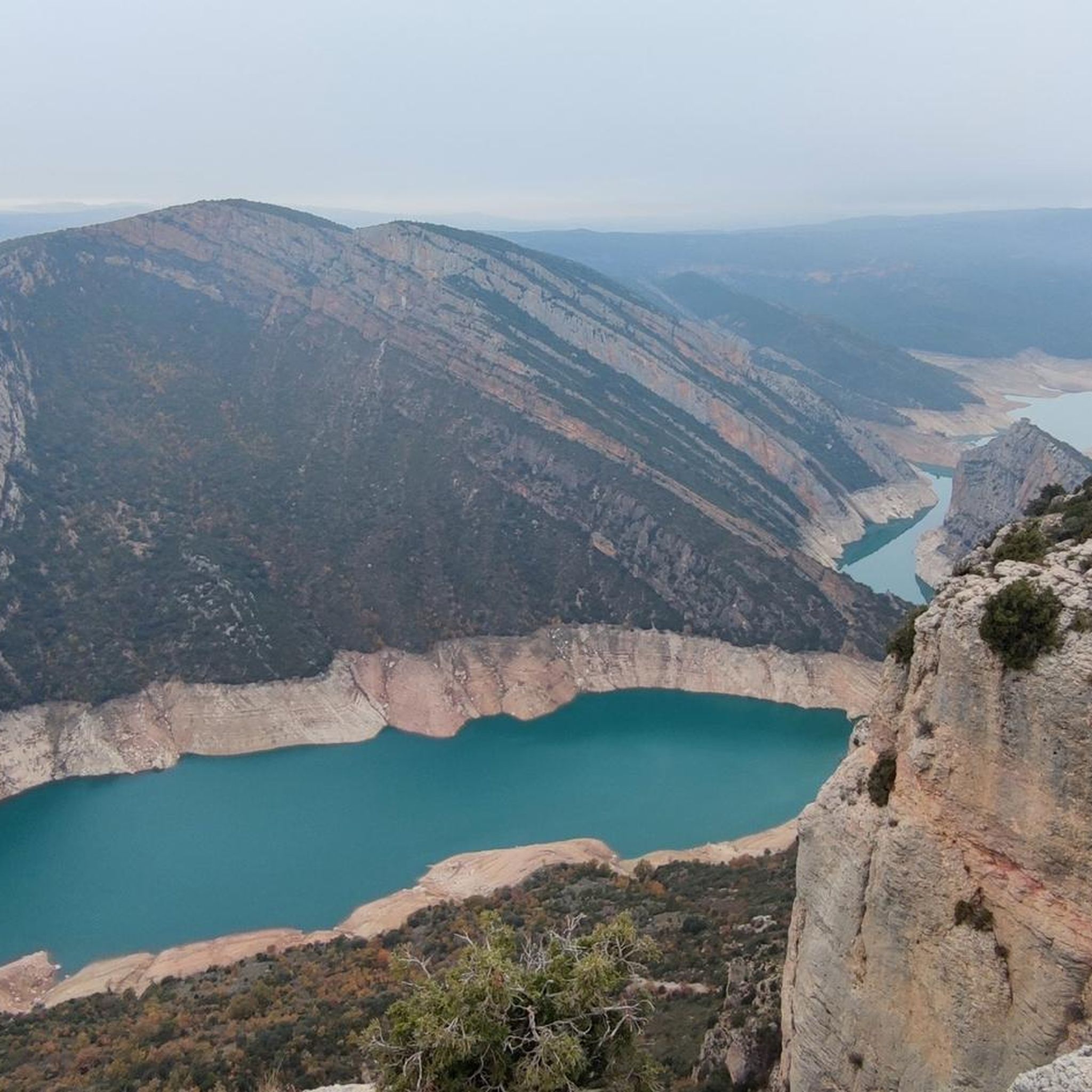
Road cycling in Sierra De La Carrodilla offers diverse terrain at the foot of the Pre-Pyrenees in Aragón, Spain. The region features limestone geology with sculpted karst formations and deep ravines, providing varied landscapes for cyclists. Extensive holm oak forests cover north-facing slopes, while higher elevations offer panoramic views of the Cinca and Ésera valleys and distant Pyrenean peaks. Road cycling routes here include both challenging ascents and sections with mostly well-paved surfaces.
Best road cycling routes in Sierra De…
Last updated: August 8, 2026
4.7
(3)
23
riders
77.2km
03:55
1,030m
1,030m
Hard road ride. Very good fitness required. Some segments of this route may be unpaved and difficult to ride.
19
riders
56.9km
02:52
850m
850m
Moderate road ride. Good fitness required. Mostly well-paved surfaces and easy to ride.

Sign up for free
11
riders
77.6km
03:38
1,020m
1,020m
Hard road ride. Very good fitness required. Mostly well-paved surfaces and easy to ride.
10
riders
177km
08:53
2,740m
2,740m
Hard road ride. Very good fitness required. Some segments of this route may be unpaved and difficult to ride.
4.0
(1)
19
riders
37.0km
01:42
430m
430m
Moderate road ride. Good fitness required. Mostly well-paved surfaces and easy to ride.
Get access to more routes and recommendations from other explorers.
Sign up for free
Already have an account?
Our route recommendations are based on thousands of hikes, rides, and runs completed by other people on komoot.
Start today with a free account
Your next adventure awaits.
Login or Signup
Popular around Sierra De La Carrodilla

Tips from the Community

El Alto de Purroy is the pass between the comarca of La Litera and the comarca of La Ribagorza. To reach it from its southern slope, you climb up a beautiful and quiet road from the town of Peralta de la Sal. To access the top of the Alto from its northern face, the climb starts gently from the village of Purroy.
0
0

The cultural capital of the La Litera region, Tamarite is a town with historic charm, medieval streets, remains of city walls, old doorways, and stately homes. Highlights include the Gothic church of Santa María la Mayor and its traditional urban layout. Bilingual (Spanish/Catalan), it is ideal as a starting, stopping, or finishing point for MTB or gravel routes through the Pre-Pyrenees, with access to rural roads, ravines, and open fields in the eastern Somontano.
0
0


From this point, right at the beginning of the La Canal climb, you will have a very good view of the Castro Bridge, probably the most unknown bridge in the Congo, since the Sierra or the Diablo bridges usually steal the spotlight.
0
0
This beautiful medieval bridge was built between the 13th and 14th centuries. It is about one hundred meters long and almost three meters wide, which allowed carriages and vehicles to cross from one side to the other.
0
0
You may not see this bridge if you pass quickly and are not paying attention. In addition to its beauty, it is also interesting for its location, since it is located next to the mouth of the Isábena river with the Ésera river.
0
0
This small port will take you from the Olvena gorge to the town of La Puebla de Castro, where you can continue to Alto de San Roque. It is a road that is not very busy. The slope is constant throughout the entire climb and you will not find any steep slopes.
0
0
This small and discreet town, belonging to Secastilla, offers a good point to take a break, especially if you are coming from Secastilla and have just made the climb. From the road you can see its paddle tennis court. From Ubiergo it is very easy to get to La Puebla de Castro, Secastilla, or the top of Torreciudad, all with roads in good condition and not very busy.
1
0
Frequently Asked Questions
What is the typical terrain like for road cycling in Sierra De La Carrodilla?
The terrain in Sierra De La Carrodilla is characterized by limestone geology, featuring sculpted karst formations and deep ravines. You'll encounter a mix of challenging ascents and sections with mostly well-paved surfaces, offering diverse landscapes from extensive holm oak forests to panoramic views of the Cinca and Ésera valleys.
Are there challenging climbs for experienced road cyclists in the region?
Yes, Sierra De La Carrodilla offers stimulating challenges with steep slopes and significant elevation gains. Routes like the Benabarre – Puente de Abajo loop from Benabarre / Benavarri feature over 1200 meters of elevation gain, making them suitable for experienced riders seeking demanding ascents.
What natural features or landmarks can I see while cycling in Sierra De La Carrodilla?
While cycling, you can experience the region's extraordinary beauty, including dramatic gorges like the Congosto de Olvena along the Ésera River. You'll also find extensive holm oak forests, and from higher elevations, panoramic views of the Cinca and Ésera valleys, distant Pyrenean peaks, and the Somontano region. The View of Barasona Reservoir – Benabarre loop from Benabarre / Benavarri offers scenic views of the reservoir itself.
What cultural attractions can I visit near the road cycling routes?
Beyond the natural landscapes, you can explore cultural points of interest such as the Santuario de la Virgen de la Carrodilla, located near Estadilla. The historic village of Olvena, with its 'Puente del Diablo' (Devil's Bridge), also offers historical significance. You might also find prehistoric remnants and schematic rupestrian paintings in areas like Forau del Cocho and Covacho del Engardaixo.
What is the best time of year for road cycling in Sierra De La Carrodilla?
The region's climate, typical of the Pre-Pyrenees, generally offers pleasant conditions for cycling during spring and autumn. Summers can be warm, while winters might bring colder temperatures at higher altitudes. Checking local weather forecasts before your ride is always recommended.
Are there any family-friendly road cycling routes in Sierra De La Carrodilla?
While many routes in Sierra De La Carrodilla feature challenging ascents, some sections are described as 'easy to ride' with mostly well-paved surfaces. For families, it's best to look for shorter, less elevated loops around villages like Estadilla or explore the more moderate options available, such as the View of Barasona Reservoir – Puente de Abajo loop from Benabarre, which is rated moderate.
Where can I find amenities like cafes or accommodation near the cycling routes?
Charming villages like Estadilla, Olvena, and Puebla de Castro dot the region and offer various amenities. You can typically find cafes, shops, and restaurants in these villages. There are also options for overnight stays in local accommodations or refuges, especially in Estadilla, which is a common starting point for routes.
Are there any circular road cycling routes in Sierra De La Carrodilla?
Yes, many of the road cycling routes in Sierra De La Carrodilla are designed as loops. For example, the Baldellou Gorge – Benabarre loop from Benabarre / Benavarri is a challenging circular route covering over 90 kilometers. There's also a recommended circular route connecting Estadilla with the Santuario de la Carrodilla, spanning nearly 15 kilometers.
How many road cycling routes are available in Sierra De La Carrodilla?
There are 9 road cycling routes available in Sierra De La Carrodilla, ranging from moderate to difficult. These routes showcase the diverse terrain and stunning views of the region, with options for various experience levels.
What is the longest road cycling route available in Sierra De La Carrodilla?
The longest road cycling route currently available is the Baldellou Gorge – Benabarre loop from Benabarre / Benavarri, which spans approximately 90.5 kilometers and involves significant elevation gain, making it a challenging ride.
What makes road cycling in Sierra De La Carrodilla unique?
The region's unique limestone geology, with its karst formations and dramatic gorges, combined with extensive holm oak forests and panoramic views of the Pyrenees, creates a distinct and beautiful cycling environment. The low population density also contributes to a tranquil experience, allowing cyclists to immerse themselves in nature.
Can I find routes that offer views of reservoirs or large bodies of water?
Yes, some routes provide scenic views of local reservoirs. The View of Barasona Reservoir – Benabarre loop from Benabarre / Benavarri is a popular option that specifically highlights views of the Barasona Reservoir and the surrounding hills.
Most popular routes in Sierra De La Carrodilla

Get inspired with the komoot mobile app


Explore more
Browse the best Road cycling routes in other regions.
