The 6 Most Amazing Peaks around Rüscheid
Best mountain peaks around Rüscheid are found in a hilly landscape on the edge of the Westerwald, with an average elevation of approximately 359 meters. The region offers elevated points and scenic trails popular for hiking, providing picturesque views. While Rüscheid itself features gentle to moderate hills rather than towering mountains, the broader Neuwied district includes higher elevations like Dernbacher Kopf at 448 meters and Asberg at 435 meters. The area is known for extensive hiking opportunities, leading to viewpoints…
Last updated: July 15, 2026
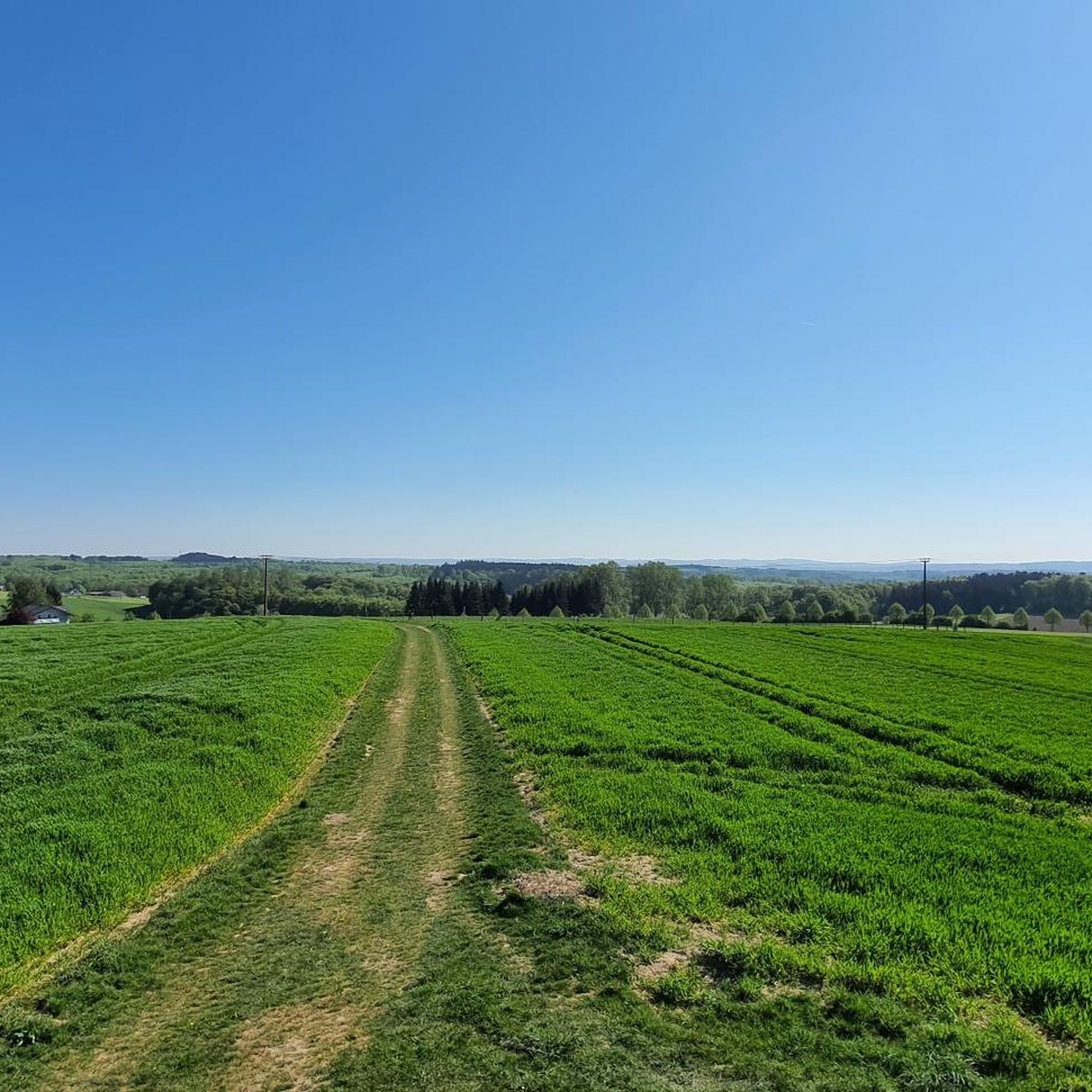
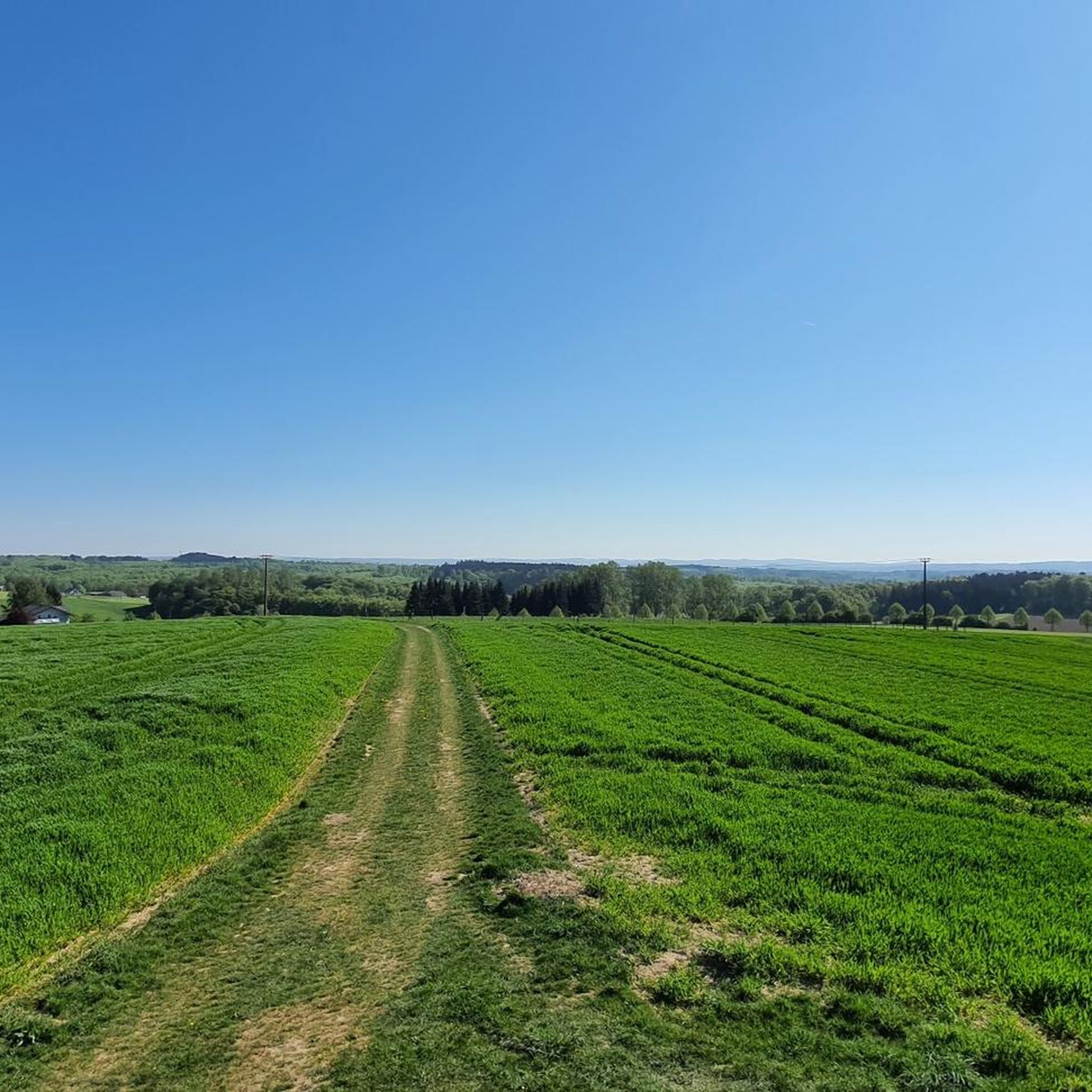
View over the Brexbach Valley from Teufelsberg
Highlight • Viewpoint
Translated by Google •
Tip by

Kaiserstuhl rock outcrop with bench
Highlight • Natural Monument
Translated by Google •
Tip by

Sign up now to discover places like this
Get recommendations on the best single tracks, peaks, & plenty of other exciting outdoor places.
Sign up for free
Bärenkopp summit cross – View of Waldbreitbach
Highlight • Summit
Translated by Google •
Tip by

WällerTour Bärenkopp
Highlight (Segment) • Trail
Translated by Google •
Tip by

Dernbacher Kopf
Highlight • Summit
Translated by Google •
Tip by

Sign up for free to discover even more peaks around Rüscheid.
Sign up for free
Already have an account?
Start today with a free account
Your next adventure awaits.
Login or Signup
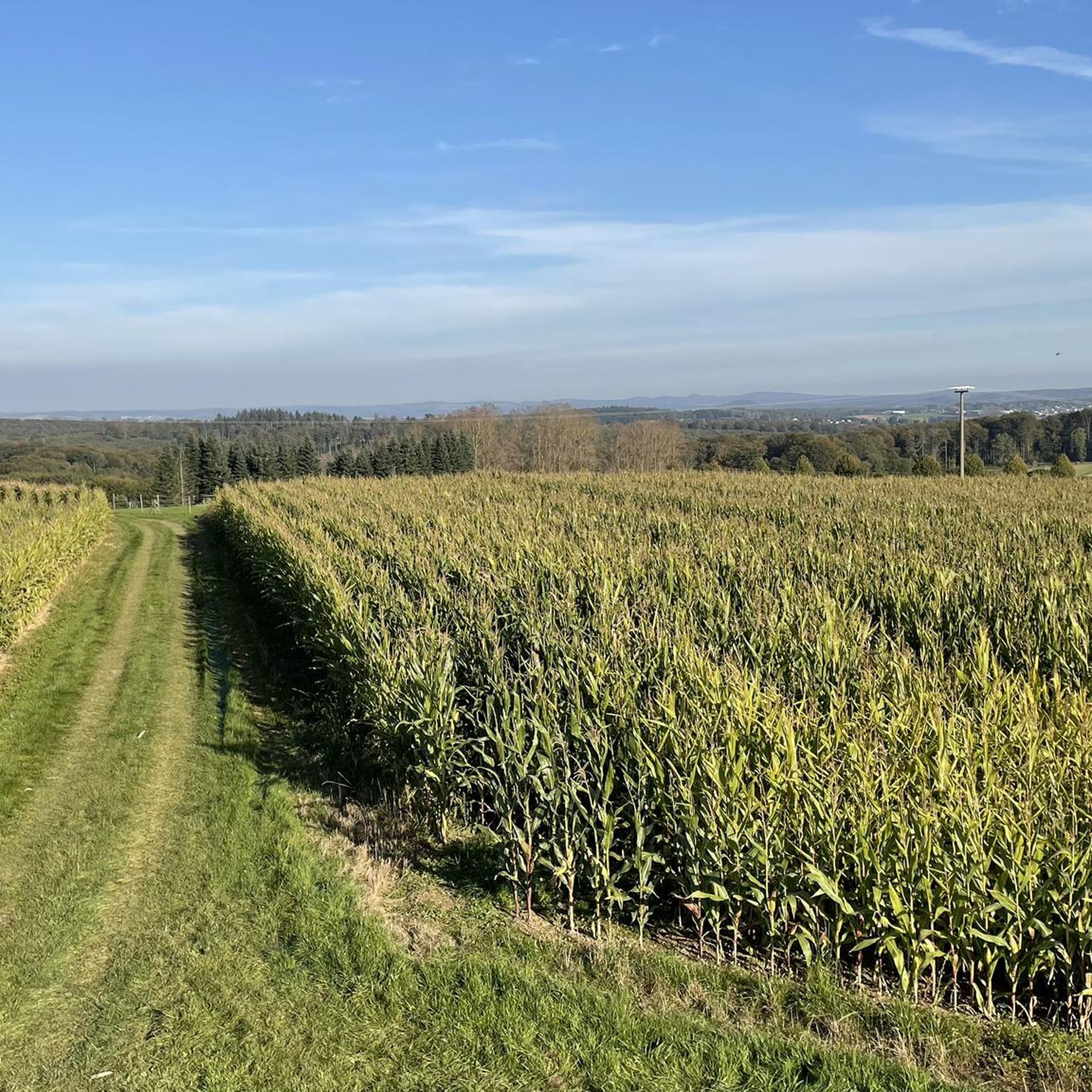
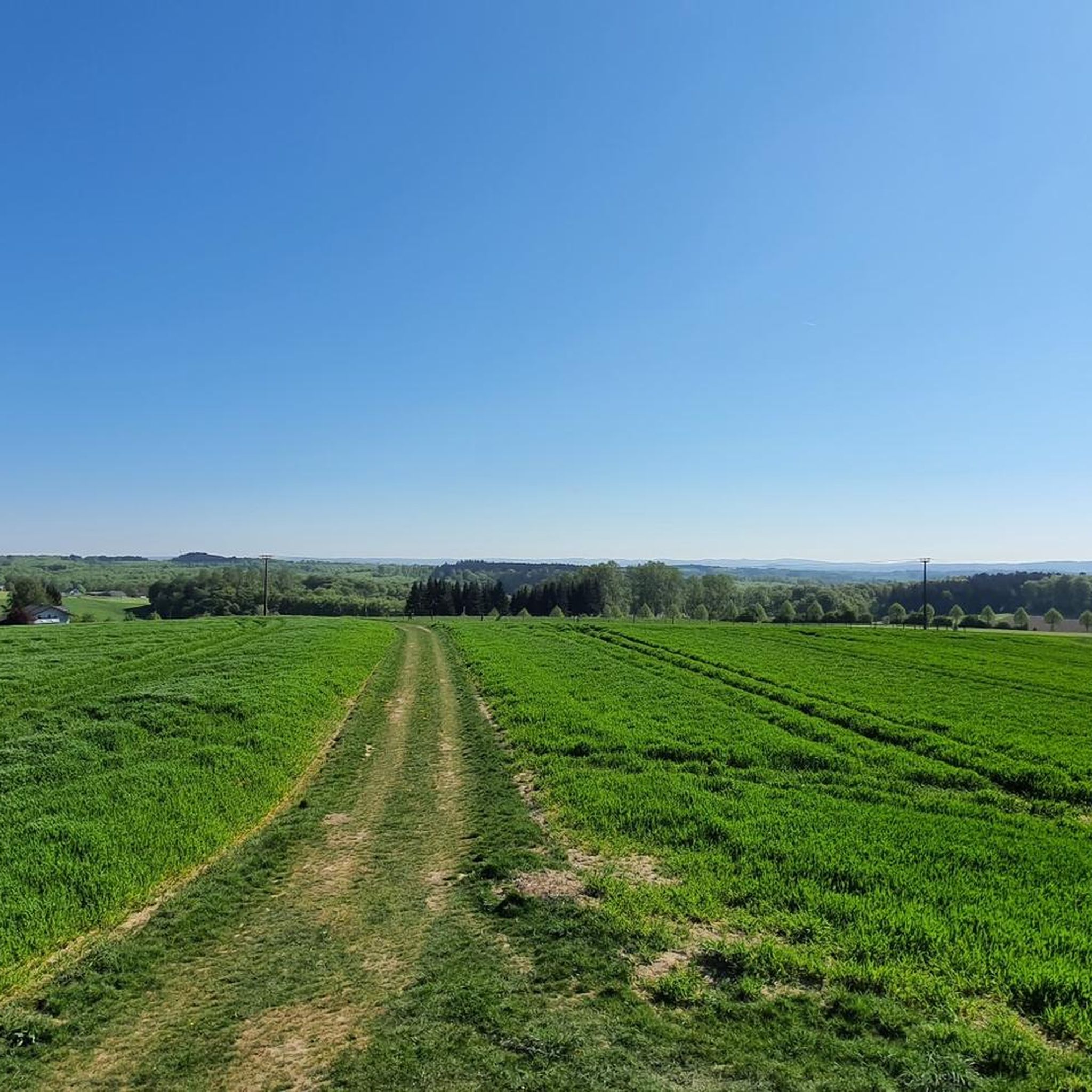
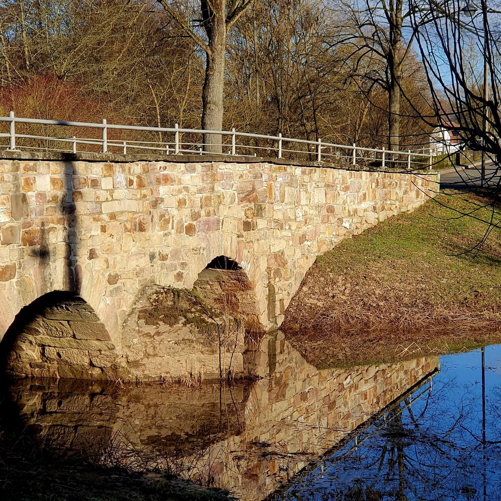
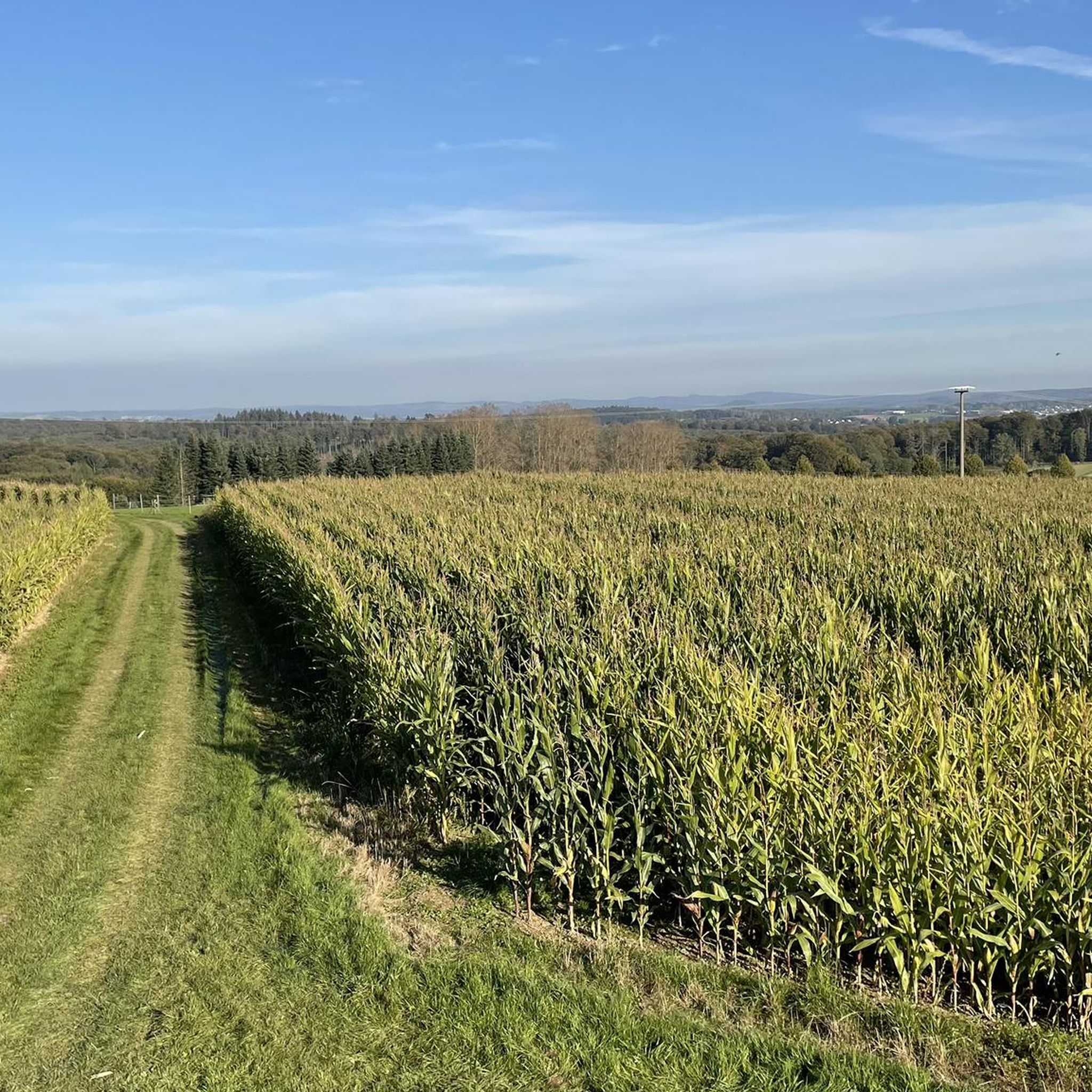
Tips from the Community

The Dernbacher Kopf is the second highest elevation in the Neuwied district. A visit to the summit stone is always worth a visit. The surrounding area offers beautiful views toward the Montabaurer Höhe or the Eifel Mountains.
0
0

This information is really helpful for who really needs this. I hope you will many more write post like this.. https://www-sunpass.com
0
0

The highest point on the Dernbacher Kopf. There is no great view from this point, but this spot is marked with a summit stone with an inscription.
0
0

There are two ways to the summit (Bärenkopp), I chose the steep route. A bit of a challenge, but I'm happy to have made it.
4
0
Natural monument, striking rocky outcrop with a bench and a bit of a view.
3
0
Beautiful steep path into the Brexbachtal.
2
0

Highest point in the region, amazing how much forest has disappeared here in recent years 🙈
0
0

The Wällertour Bärenkopp is a beautiful, well-marked hiking route that is really worth doing.
5
0
Frequently Asked Questions
What are the most popular elevated points around Rüscheid for scenic views?
Visitors frequently enjoy the Bärenkopp summit cross – View of Waldbreitbach, which offers panoramic views extending as far as the Siebengebirge. Another highly-rated spot is the View over the Brexbach Valley from Teufelsberg, providing picturesque vistas of the valley.
Are there specific trails to reach the higher elevations near Rüscheid?
Yes, the WällerTour Bärenkopp is a well-marked hiking trail that leads to the Bärenkopp summit. It offers two paths: one short and steep, and another longer and less steep, catering to different preferences.
What is the highest point directly in the Rüscheid area?
The Oernbacher Kopf (427 m) is recognized as the highest point in this specific area, offering views of the surrounding forest landscape.
What kind of natural features can I expect to see on hikes around Rüscheid?
The region is characterized by a hilly landscape with extensive forests. You'll encounter viewpoints offering panoramic vistas over the Westerwald and Rhine-Westerwald Nature Park, as well as natural monuments like the Kaiserstuhl rock outcrop with bench, which provides great views down into the Brexbachtal.
What outdoor activities can I do near these elevated points?
Beyond hiking to viewpoints, the area around Rüscheid offers diverse outdoor activities. You can explore gravel biking routes, enjoy cycling tours through the scenic landscape, or try various running trails.
Are there any historical or cultural sites integrated into the hiking routes?
While Rüscheid itself is known for natural elevations, the broader region combines elevated walks with historical sites. For instance, attractions such as the Altwied Castle Ruins and Sayn Castle are often integrated into hiking routes, providing cultural enrichment alongside natural beauty. A Roman Tower on the Pulverberg in Sayn-Bendorf, part of the LIMES UNESCO World Heritage Site, also offers significant views.
What is the general terrain like for hiking around Rüscheid?
The terrain around Rüscheid is characterized by gentle to moderate hills, rather than towering mountains. The region is situated on the edge of the Westerwald, with an average elevation of approximately 359 meters, making it suitable for a variety of hiking levels.
What do visitors enjoy most about the mountain peaks and elevated points around Rüscheid?
Visitors particularly appreciate the extensive hiking opportunities that lead to natural high points and offer panoramic vistas. The tranquility of the natural setting, the well-marked trails, and the rewarding views from spots like the Bärenkopp summit cross are frequently highlighted.
Are there any easy mountain hikes suitable for beginners near Rüscheid?
While specific 'easy mountain hikes' are not detailed, the region's terrain features gentle to moderate hills. Many trails offer varying levels of difficulty. For example, the WällerTour Bärenkopp provides a longer, less steep option to reach the summit, which might be more suitable for beginners.
Can I find trails that are suitable for families or dog-friendly in the area?
The hilly terrain and extensive hiking opportunities around Rüscheid provide a peaceful natural setting ideal for outdoor activities. Many trails pass through forests and offer tranquil natural settings, which are generally suitable for families and dog walkers, though specific family or dog-friendly designations for individual peaks are not provided.
What are some cycling routes available near Rüscheid's elevated areas?
For cyclists, there are several routes, including the 'Aubach Valley – Aubachtal Nature Reserve loop from Rüscheid' which is a difficult 28.5 km ride, and the 'Bischofsbänkle – View of the Sayn Valley loop from Rüscheid', an easier 8.7 km option. More routes can be found in the Cycling around Rüscheid guide.
Where can I go for a run near the elevated points of Rüscheid?
There are various running trails available, such as the 'View of Isenburg Castle Ruins loop from Anhausen' (11.8 km, difficult) or the 'Running loop from Dernbach' (5.8 km, moderate). You can explore more options in the Running Trails around Rüscheid guide.
Most popular routes around Rüscheid
Most popular attractions around Rüscheid

Get inspired with the komoot mobile app


Explore more
See even more amazing summits around Rüscheid with these guides:
