Forêt Domaniale Des Sauvas
Forêt Domaniale Des Sauvas
The best road cycling routes in Forêt Domaniale Des Sauvas
4.7
(145)
3,005
riders
49
rides
Road cycling in Forêt Domaniale Des Sauvas offers diverse terrain at the foot of the majestic Dévoluy massif. The region features an extensive forest environment with varied tree species, providing shaded routes and a sense of seclusion. Elevated passes like the Col de Gaspardon, at 1435 meters altitude, present challenging ascents with switchbacks and climbing traverses. Cyclists can also experience dramatic natural features such as the Cirque des Sauvas and the immense scree slopes of Combe d'Aurouze.
Best road cycling…
Last updated: October 4, 2026
5.0
(1)
32
riders
Moderate road ride. Good fitness required. Mostly well-paved surfaces and easy to ride.
5.0
(1)
30
riders
94.2km
05:02
1,550m
1,550m
Hard road ride. Very good fitness required. Some segments of this route may be unpaved and difficult to ride.

5.0
(1)
40
riders
33.1km
02:03
910m
910m
Hard road ride. Very good fitness required. Mostly well-paved surfaces and easy to ride.
22
riders
35.6km
01:40
440m
440m
Moderate road ride. Good fitness required. Mostly well-paved surfaces and easy to ride.
21
riders
37.3km
01:38
360m
360m
Moderate road ride. Good fitness required. Mostly well-paved surfaces and easy to ride.
Get access to more routes and recommendations from other explorers.
Already have an account?
Our route recommendations are based on thousands of hikes, rides, and runs completed by other people on komoot.
Start today with a free account
Your next adventure awaits.
Popular around Forêt Domaniale Des Sauvas
France’s Best Sunrise & Sunset Hikes

8 hikes in the Hautes-Alpes — mountain passes and high-altitude lakes

The most beautiful MTB and hiking tours in the French Maritime Alps
Hiking in Forêt Domaniale Des Sauvas
Cycling in Forêt Domaniale Des Sauvas
MTB Trails in Forêt Domaniale Des Sauvas
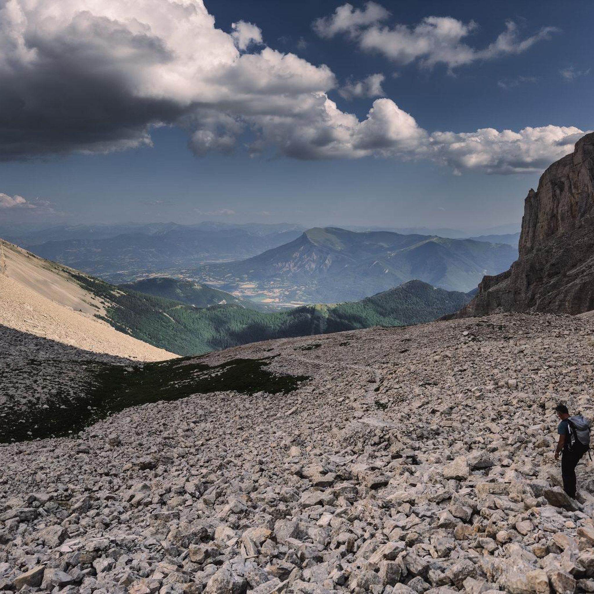
Running Trails in Forêt Domaniale Des Sauvas
Gravel biking in Forêt Domaniale Des Sauvas

Mountain Hikes in Forêt Domaniale Des Sauvas
Other adventures in Forêt Domaniale Des Sauvas


Tips from the Community

Discovery of a small part of the loop. I really enjoyed this route and it made me want to discover the loop in its entirety.
0
0

Yes, Veynes! It is a small town in the Hautes-Alpes (05), in the Provence-Alpes-Côte d’Azur region, at an altitude of about 814 m.
6
0
The D 48 is an important departmental road in the Val-d'Oise that crosses Argenteuil, Cormeilles-en-Parisis, Montigny-lès-Cormeilles, and Herblay. It runs parallel to the A15 motorway at a certain distance.
13
0
The Haut-Buëch circuit is a 77 km loop around Veynes, which crosses several mountain passes. Classified as difficult, it mainly takes place on shared roads (100%), has an elevation gain of 827 meters, and is recommended for experienced cyclists. The estimated travel time is about 6 hours and 29 minutes. Points of interest along the route include the Veynes railway workers' ecomuseum and the castle of Aspremont.
7
0
The Col d'Espreaux is a climb located in the Hautes-Alpes region. This climb is 12.2 km long, with a total elevation gain of 585 m. The Col d'Espreaux has an average gradient of 4.8%.
19
0
Ancient building maintained in excellent condition.
7
0
Ascent on a secondary road, very easy slopes. Be careful of the slightly slippery asphalt.
7
0
Secondary road out of traffic. The asphalt is in perfect condition.
6
0
Frequently Asked Questions
What kind of terrain can I expect when road cycling in Forêt Domaniale Des Sauvas?
Road cycling in Forêt Domaniale Des Sauvas offers a diverse landscape, from extensive forested areas providing shade to challenging ascents. You'll encounter elevated passes like the Col de Gaspardon at 1435 meters, featuring switchbacks and climbing traverses. The region is situated at the foot of the majestic Dévoluy massif, so expect varied terrain with rewarding climbs and scenic descents.
Are there routes suitable for different skill levels?
Yes, Forêt Domaniale Des Sauvas caters to various abilities. Out of approximately 50 road cycling routes, you'll find options ranging from easy loops to more challenging climbs. There are 6 easy routes, 28 moderate routes, and 16 difficult routes available, ensuring a suitable ride for every cyclist.
What are some notable landmarks or natural features I can see while cycling?
While cycling in Forêt Domaniale Des Sauvas, you can enjoy stunning natural features. The impressive Pic de Bure dominates the landscape, particularly around the Cirque des Sauvas, known for its serene setting and mountain views. For a dramatic experience, the Combe d'Aurouze offers immense scree slopes and panoramic mountain vistas. The Col de Gaspardon itself is a significant cycling landmark within the forest.
What do other cyclists say about road cycling in Forêt Domaniale Des Sauvas?
The road cycling routes in Forêt Domaniale Des Sauvas are highly regarded by the komoot community, with an average rating of 4.6 stars from over 100 reviews. Cyclists often praise the extensive woodlands, the challenging yet rewarding elevated passes, and the beautiful views of the Dévoluy massif.
Are there any family-friendly road cycling routes in the area?
Yes, there are several routes suitable for families. For example, the Eiffel Bridge – Montmaur Road loop from Montmaur is an easy 16.1-mile (25.9 km) route with gentle elevation changes, perfect for a family outing. Look for routes marked as 'easy' for a more relaxed experience.
What is the best time of year for road cycling in Forêt Domaniale Des Sauvas?
The extensive forest environment in Forêt Domaniale Des Sauvas provides shaded routes, which can be particularly advantageous during warmer months. While specific seasonal recommendations aren't provided, the region's diverse landscapes suggest that spring and autumn offer pleasant temperatures and vibrant scenery, while summer provides welcome shade on many paths.
Are there circular road cycling routes available?
Yes, many of the routes in Forêt Domaniale Des Sauvas are designed as loops, allowing you to start and end at the same point. Examples include the Col du Villard – View from the foot of the Massif de Céüse loop from Montmaur and the Verniers Pass – Bachassette Pass loop from Montmaur, offering varied distances and difficulties.
What are the road surface conditions like for cycling?
The road cycling routes in Forêt Domaniale Des Sauvas generally feature paved roads suitable for road bikes. The region is known for its well-maintained routes, especially those leading to popular passes like the Col de Gaspardon, ensuring a smooth riding experience.
Are there any facilities like picnic areas or accommodation within the forest?
Yes, for your convenience, there are picnic areas available for visitors within the Forêt Domaniale Des Sauvas. Additionally, accommodations such as the 'Maison forestière Retrouvance® des Sauvas' and 'L'Annexe des Sauvas' are situated directly within the forest, offering practical bases for exploring the area.
Can I find routes with significant elevation gain for a challenging ride?
Absolutely. Forêt Domaniale Des Sauvas, being at the foot of the Dévoluy massif, offers routes with substantial elevation gain. For instance, the difficult Col de Carabès – Cabre Pass (1,180 m) loop from La Roche-des-Arnauds covers 94.1 km with over 1500 meters of ascent, providing a significant challenge for experienced road cyclists.
How many road cycling routes are there in total in Forêt Domaniale Des Sauvas?
There are approximately 50 road cycling routes available in Forêt Domaniale Des Sauvas, offering a wide range of options for different preferences and skill levels.
Are there any routes that offer views of the Massif de Céüse?
Yes, several routes provide excellent views towards the Massif de Céüse. The Col du Villard – View from the foot of the Massif de Céüse loop from Montmaur is a moderate route specifically highlighted for its views of the massif, offering varied terrain and scenic vistas.
Most popular routes in Forêt Domaniale Des Sauvas

Get inspired with the komoot mobile app


Explore more
Browse the best Road cycling routes in other regions.
