The best walks and hikes in Forêt Royale De L'Agre
4.5
(360)
1,873
hikers
85
hikes
Hiking trails in Forêt Royale De L'Agre are found within a beautiful forest environment, offering a variety of outdoor activities. The region is characterized by its extensive woodlands, providing numerous hiking and walking trails suitable for different fitness levels. These routes range from easy paths with minimal elevation gain to more challenging options involving significant ascents. The forest provides a natural setting for exploration, with paths winding through its diverse tree cover.
Best hiking trails in Forêt Royale De L'Agre
…Last updated: October 7, 2026
3.0
(3)
26
hikers
6.68km
02:20
370m
370m
Moderate hike. Good fitness required. Easily-accessible paths. Suitable for all skill levels.
7
hikers
22.5km
06:14
390m
390m
Hard hike. Very good fitness required. Easily-accessible paths. Suitable for all skill levels.

5.0
(1)
7
hikers
9.02km
02:48
330m
330m
Moderate hike. Good fitness required. Easily-accessible paths. Suitable for all skill levels.
2
hikers
12.5km
03:31
250m
240m
Moderate hike. Good fitness required. Easily-accessible paths. Suitable for all skill levels.
4.7
(70)
380
hikers
5.53km
01:29
70m
70m
Easy hike. Great for any fitness level. Easily-accessible paths. Suitable for all skill levels.
Get access to more routes and recommendations from other explorers.
Already have an account?
Our route recommendations are based on thousands of hikes, rides, and runs completed by other people on komoot.
Start today with a free account
Your next adventure awaits.




Tips from the Community

Always useful to know where to find these water points. You never know when you'll need them!
0
0
This shaded trail leads to L'Escale and runs alongside a small stream, making the setting particularly idyllic.
0
0
At the start of the Green Labyrinth (Labyrinthe Vert) trail stand the remains of two medieval windmills, which once took advantage of the plateau's winds to grind grain. One of them was reused as an observation post by the German army during the Occupation, before being destroyed by Allied bombings. Facing the Audois Pyrenees, the site offers a beautiful panorama and marks the ideal entrance to the mossy limestone maze of the Green Labyrinth.
0
0

The view of the rows of houses from the Le Blau bridge is spectacular. It looks like a gorge through which the river winds.
0
0

Beautiful shady garden restaurant.
1
0

Puivert is located between Razès to the north and the Sault region to the south. It is part of Quercorb. The name of this small natural region of Languedoc is not very well known. On the other hand, the commune itself is famous.
0
0
The ruins of this 12th century castle are among the most famous of the Cathar castles in the region. The site where it is located is remarkable.
0
0

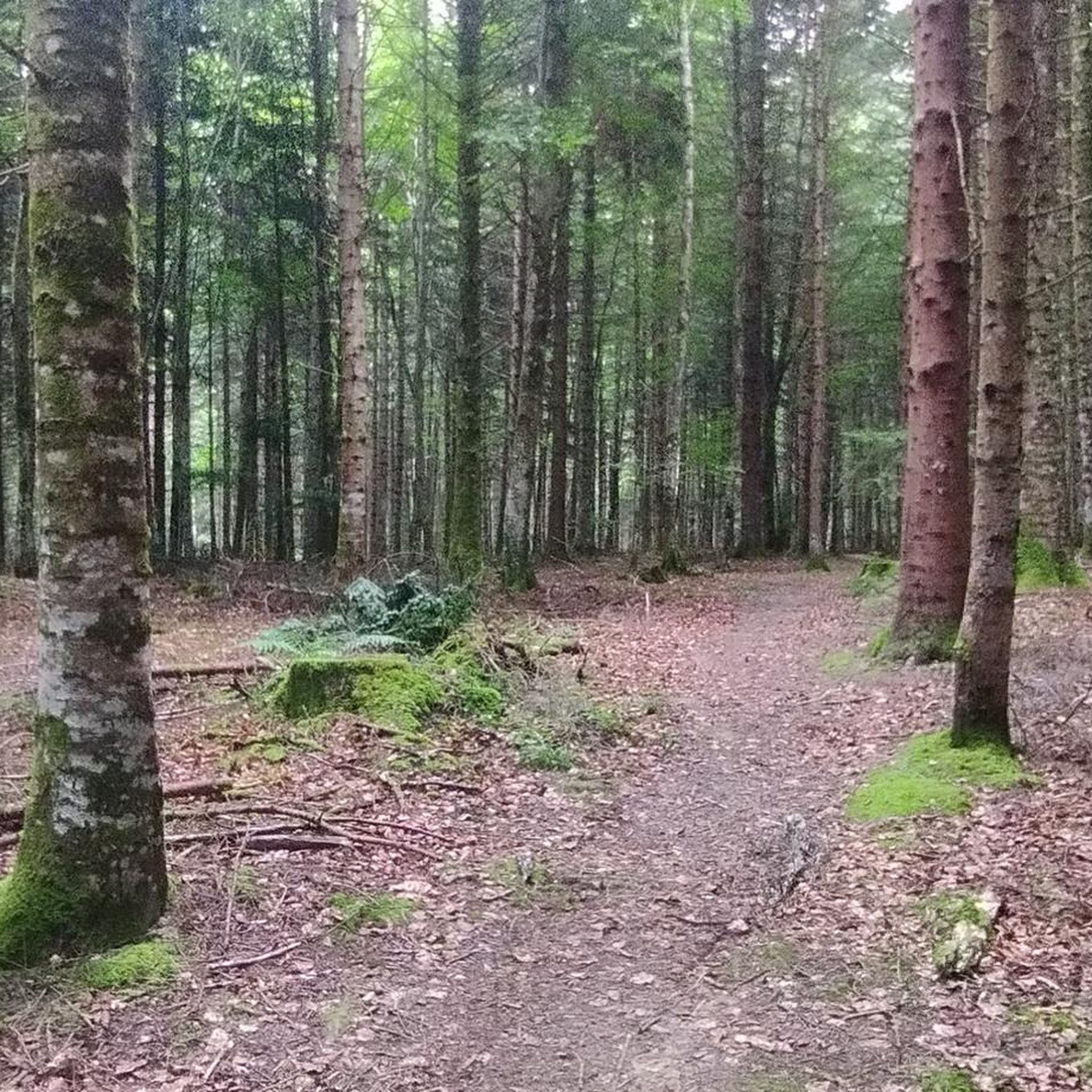
A forest like in a fairy tale. Hansel and Gretel would have loved to get lost here... ☺️ [I hope the fairy tale is known in France too] The only difference is that children today use a cell phone with GPS instead of breadcrumbs. And I would recommend that to everyone, along with OSM maps. There are a few variants branching off from the circular route, so you can walk in circles at dusk... 🙄
3
0
Frequently Asked Questions
How many hiking trails are available in Forêt Royale De L'Agre?
Forêt Royale De L'Agre offers a comprehensive network of trails, with over 80 hiking routes available on komoot. These range from easy strolls to more challenging ascents, ensuring options for various fitness levels.
Are there easy hiking options suitable for beginners or families?
Yes, Forêt Royale De L'Agre has plenty of easy trails. There are over 30 easy routes, perfect for beginners or families looking for a relaxed walk. These paths often feature minimal elevation gain and wind through the beautiful forest environment.
What are some popular circular walks in Forêt Royale De L'Agre?
Many of the trails in Forêt Royale De L'Agre are circular, allowing you to start and end at the same point. A popular moderate option is the Picaussel Sinkhole – View of Puivert loop from L'Escale, which is about 6.7 km long and takes around 2 hours 20 minutes. Another well-liked moderate circular route is the Artigols greenhouse loop from Coudons, covering 9 km in about 2 hours 47 minutes.
Are dogs allowed on the hiking trails in Forêt Royale De L'Agre?
Generally, dogs are welcome on trails in Forêt Royale De L'Agre, provided they are kept on a leash to protect local wildlife and ensure the safety and comfort of other hikers. Always check specific trail regulations before you go, especially in protected areas.
What kind of landscapes and natural features can I expect to see while hiking?
Forêt Royale De L'Agre is characterized by its extensive woodlands, featuring a diverse mix of hornbeams, oaks, maritime pines, and Scots pines. You'll find well-maintained trails, picturesque waterways like the Canal de Montech with its charming locks, and varied terrain that includes both gentle paths and some ascents. Some routes also offer panoramic views.
Are there any historical sites or landmarks to explore along the trails?
Yes, the forest has a rich history. You can explore routes that pass by historical sites, such as the Château de Puivert – Lake Puivert loop from L'Escale. This 12.3 km trail takes you through the forest and past significant historical landmarks, offering a blend of nature and heritage.
What is the typical duration and distance of hikes in this region?
Hikes in Forêt Royale De L'Agre vary significantly. You can find shorter walks like the 6.7 km Picaussel Sinkhole – View of Puivert loop, which takes about 2 hours 20 minutes. For those seeking a longer adventure, the difficult Labyrinthe Vert – Puivert Castle loop from La Grange spans nearly 23 km and can take over 6 hours to complete.
What do other hikers enjoy most about Forêt Royale De L'Agre?
The area is highly rated by the komoot community, with an average score of 4.6 stars from over 300 reviews. Reviewers often praise the quiet woodlands, the well-maintained paths, and the diverse range of trails suitable for all abilities. Many appreciate the natural setting and the opportunity for peaceful exploration.
Are there any challenging hikes for experienced trekkers?
While many trails are moderate, there are a few challenging options for experienced hikers. For instance, the Labyrinthe Vert – Puivert Castle loop from La Grange is classified as difficult, covering 22.7 km with significant elevation changes, making it a demanding and rewarding experience.
Where can I find parking for the hiking trails?
Parking is generally available at common starting points for trails, such as near Port-Canal in Montech or at designated trailheads like L'Escale or Coudons, which are mentioned as starting points for popular routes. It's advisable to check specific route details for the most convenient parking locations.
Can I combine hiking with other activities in the area?
Absolutely! Beyond hiking, Forêt Royale De L'Agre and its surroundings offer cycling routes and picnic areas. During the summer, a treetop adventure course is available. Nearby, the town of Montech features the unique water slope, providing additional attractions to explore.
Most popular routes in Forêt Royale De L'Agre

Get inspired with the komoot mobile app


Explore more
Browse the best Hikes in other regions.
