The best walks and hikes in Forêt Domaniale De Moyenmoutier
4.6
(2003)
10,221
hikers
293
hikes
Hiking in Forêt Domaniale De Moyenmoutier offers a network of trails through dense woodlands and varied terrain. The region is characterized by its forest environment, featuring moderate elevation changes and natural landscapes. These hiking trails provide opportunities to explore the natural beauty of the area.
Best hiking trails in Forêt Domaniale De Moyenmoutier
- The most popular hiking route is Access to the Ruins – High Rock loop from Moyenmoutier, a 6.3 miles (10.1 km) trail that takes 3 hours…
Last updated: October 8, 2026
4.1
(16)
76
hikers
10.0km
03:09
380m
380m
Moderate hike. Good fitness required. Easily-accessible paths. Suitable for all skill levels.
4.8
(18)
53
hikers
5.71km
01:41
110m
110m
Moderate hike. Great for any fitness level. Mostly accessible paths. Sure-footedness required.

4.3
(4)
32
hikers
3.87km
01:17
190m
190m
Easy hike. Great for any fitness level. Easily-accessible paths. Suitable for all skill levels.
4.0
(4)
22
hikers
10.7km
03:16
330m
330m
Moderate hike. Good fitness required. Mostly accessible paths. Sure-footedness required.
4.6
(14)
37
hikers
13.4km
04:08
430m
430m
Moderate hike. Good fitness required. Mostly accessible paths. Sure-footedness required.
Get access to more routes and recommendations from other explorers.
Already have an account?
Our route recommendations are based on thousands of hikes, rides, and runs completed by other people on komoot.
Start today with a free account
Your next adventure awaits.

Tips from the Community

A spacious rest area with at least four benches and a shelter. A good circular trail starts here, which is described on a sign.
2
3
This shelter served as a protected rest room for the German soldiers here at the front during the First World War.
1
0
A machine gun position on the former French front line in World War I.
1
0
Now we just need to know which place exactly is meant... Probably not here on the path. In the former command bunker near the viewing rocks perhaps?
1
0
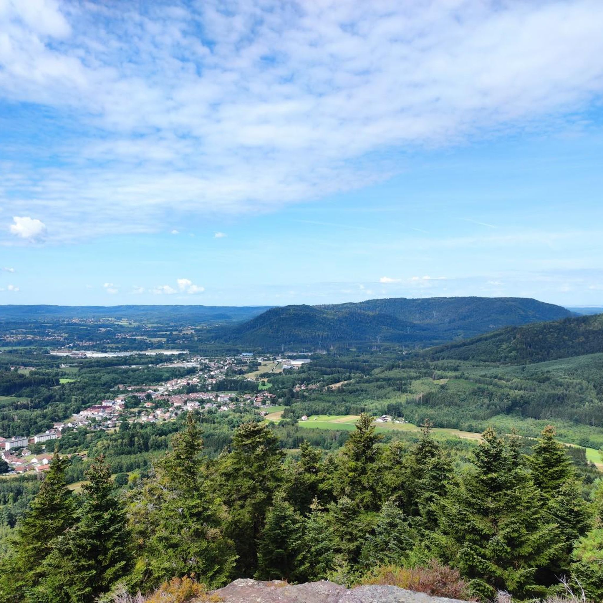
Two prominent rocks form a great viewing point here. They are connected by a bridge and can be reached via a staircase. On the first rock you will find a panoramic map on the brick parapet. There is a natural bench under this rock. The German command post for this section of the front during the First World War is also located here. It was fortified with reinforced concrete in 1916.
2
1
The artist created this work of art here in 1915, intended as a gravestone, during rest breaks at the front. It stands in a former French military cemetery. He later created a monumental statue for the victory parade in Paris. An information board is available.
2
1
A beautiful and old sandstone cross gives the square its name. Several paths meet here. There are several places to sit and two picnic tables on the spacious square. There is also a small parking area for people who are not so good at walking.
1
0
The shelter can only be seen if you take the more difficult path that goes under the rocks. Both paths are beautiful.
2
2
Frequently Asked Questions
How many hiking trails are available in Forêt Domaniale De Moyenmoutier?
Forêt Domaniale De Moyenmoutier offers a wide selection of hiking opportunities, with over 250 trails to explore. These range from easy strolls to more challenging routes, catering to various fitness levels.
Are there easy hiking trails suitable for beginners or families?
Yes, the region has nearly 100 easy hiking routes. These trails are generally shorter and have less elevation gain, making them ideal for families with children or those looking for a relaxed walk. For example, the Roche Mère Henry – The Four Benches loop from Croix de la Malfosse is a moderate 3.5-mile path that offers forest immersion and scenic viewpoints.
What kind of terrain can I expect on the hiking trails?
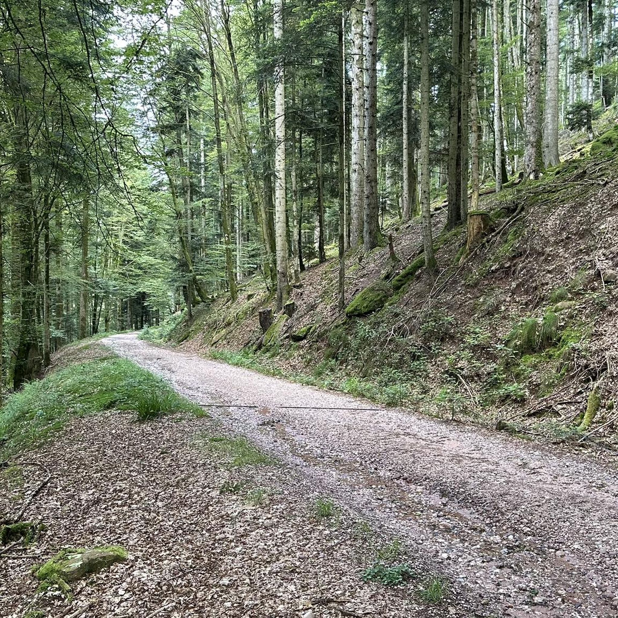
The trails in Forêt Domaniale De Moyenmoutier primarily feature dense woodlands and varied terrain. You'll encounter forest paths, moderate elevation changes, and natural landscapes, with some routes offering views of historical ruins or rock formations.
Are there any circular walks in Forêt Domaniale De Moyenmoutier?
Yes, many trails in the region are designed as circular routes, allowing you to start and end at the same point. A popular option is the Access to the Ruins – High Rock loop from Moyenmoutier, which is 6.3 miles long and features varied forest paths and views of historical ruins.
What are some interesting landmarks or natural attractions to see along the trails?
Hikers can discover several notable points of interest. You might encounter the impressive High Rock, the unique Roches de Lanceux natural monument, or the historic Croix de Malfosse. These attractions add historical and natural beauty to your hike.
Are dogs allowed on the hiking trails?
Generally, dogs are welcome on trails in forest areas like Forêt Domaniale De Moyenmoutier, but it's always recommended to keep them on a leash, especially to protect local wildlife and ensure the safety of other hikers. Always check local signage for specific restrictions.
What is the typical duration for hikes in this forest?
Hike durations vary significantly depending on the trail's length and difficulty. For example, a moderate 3.5-mile path like the Roche Mère Henry – The Four Benches loop from Croix de la Malfosse might take around 2 hours, while longer routes such as the 6.6-mile Roche Mère Henry – The Four Benches loop from Celles-sur-Plaine can take over 3 hours.
Are there any advanced or difficult hiking routes for experienced hikers?
Yes, for more experienced hikers, there are 27 difficult routes available. These trails typically feature greater distances, more significant elevation changes, and potentially more rugged terrain, offering a challenging and rewarding experience.
What do other hikers enjoy most about hiking in Forêt Domaniale De Moyenmoutier?
The area is highly rated by the komoot community, with an average score of 4.6 stars from over 1,300 reviews. Hikers often praise the dense woodlands, varied elevations, and the opportunity to discover historical remnants along the well-maintained paths.
Is there parking available near the trailheads?
While specific parking information for every trailhead isn't always available, forest areas like Forêt Domaniale De Moyenmoutier typically have designated parking areas at common starting points or near popular attractions. It's advisable to check the route details on komoot for specific parking recommendations for your chosen trail.
What is the best time of year to go hiking in Forêt Domaniale De Moyenmoutier?
The forest is beautiful year-round, but spring and autumn are often considered ideal for hiking due to milder temperatures and vibrant foliage. Summer offers lush greenery, while winter can provide a serene, snow-covered landscape, though some trails might be more challenging.
Can I find viewpoints with scenic vistas in the forest?
Yes, several trails lead to viewpoints that offer scenic vistas over the surrounding landscape. Routes like the High Rock – Roches de Lanceux loop from Croix de la Malfosse may provide opportunities to enjoy expansive views, especially from elevated rock formations.
Most popular routes in Forêt Domaniale De Moyenmoutier
Most popular attractions in Forêt Domaniale De Moyenmoutier

Get inspired with the komoot mobile app


Explore more
Browse the best Hikes in other regions.
