The best walks and hikes in Förnbacher Forst
4.5
(2121)
10,099
hikers
749
hikes
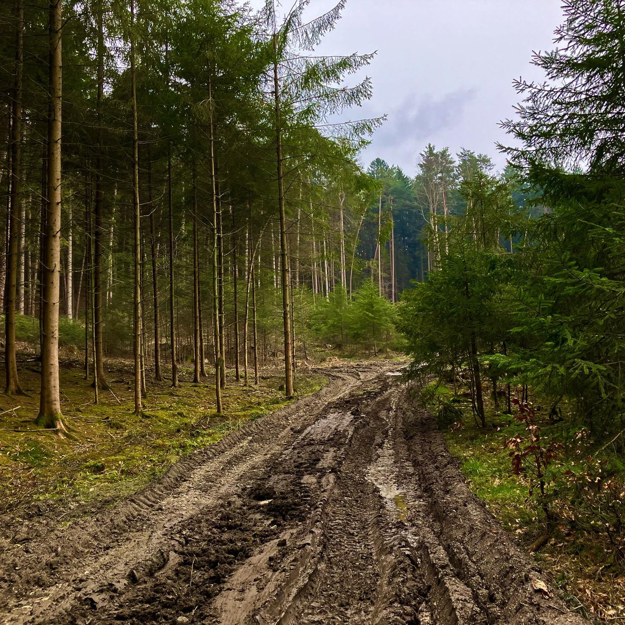
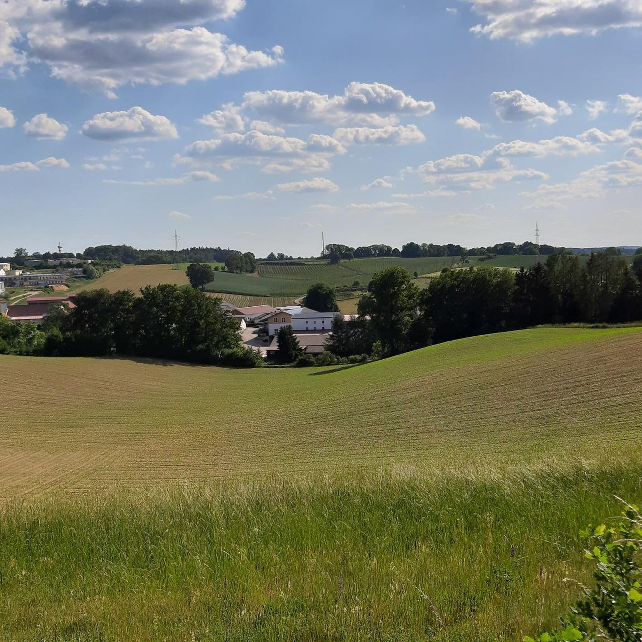
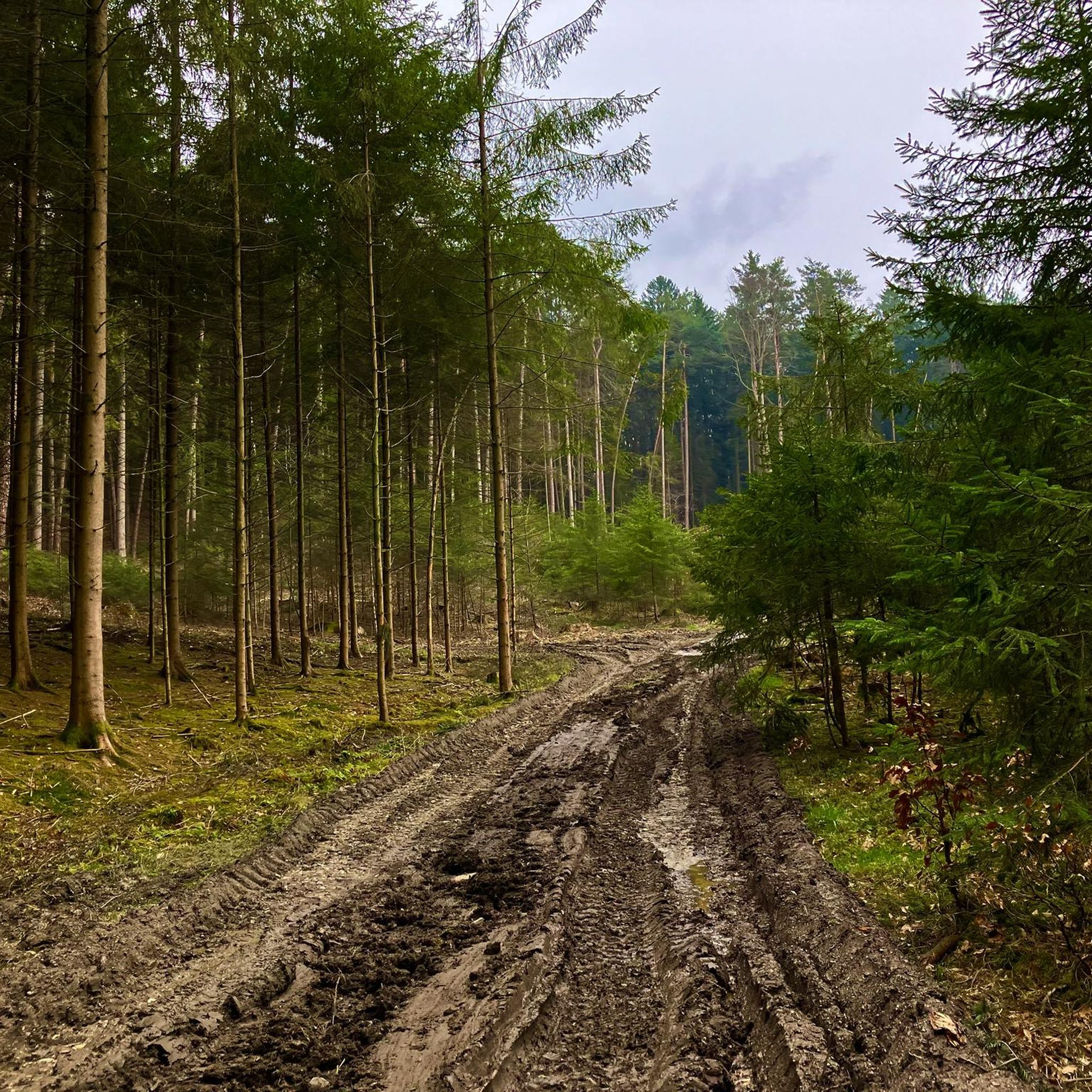
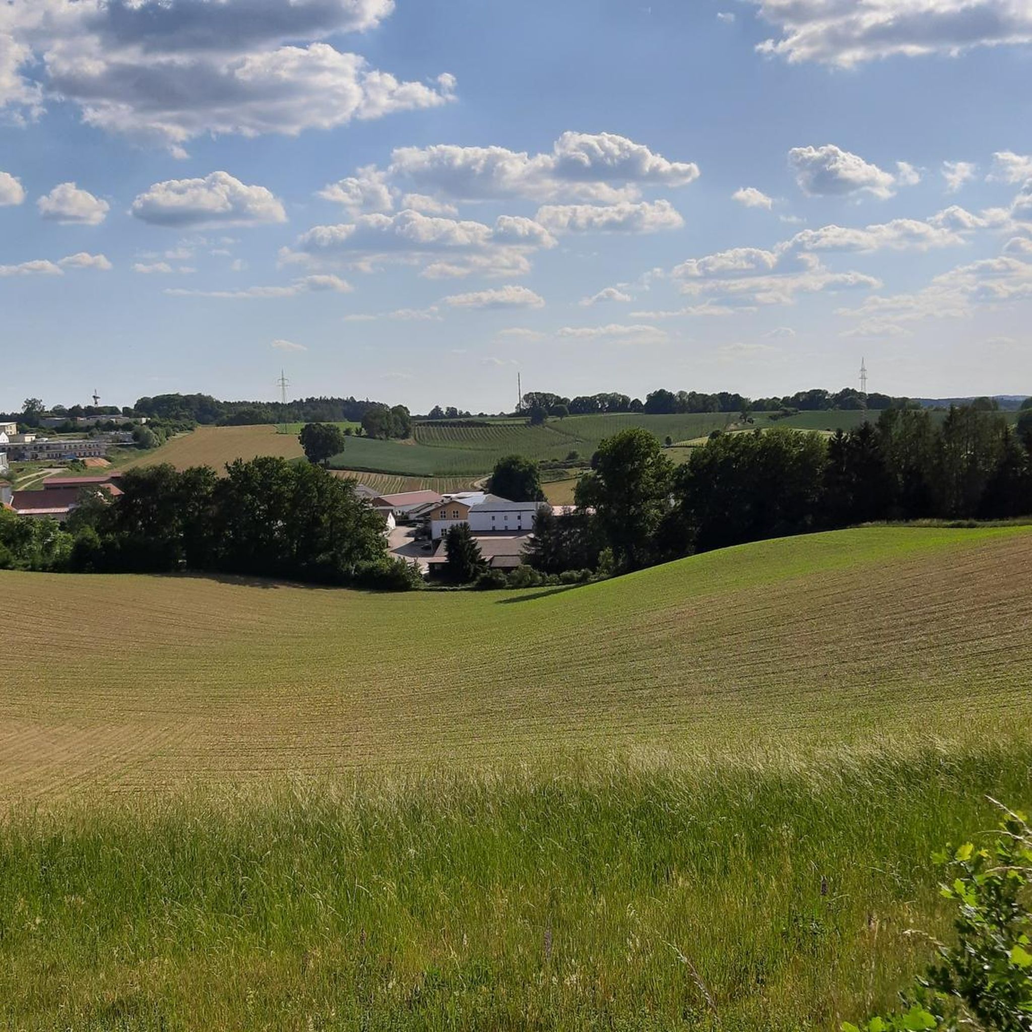
Hiking trails in Förnbacher Forst traverse a landscape characterized by gentle hills and extensive woodlands within the Hallertau region, known for its hop fields. The area is integrated into the scenic countryside of Landkreis Pfaffenhofen an der Ilm. The Ilm river runs along parts of the routes, offering additional natural features. This terrain provides varied hiking experiences suitable for different preferences.
Best hiking trails in Förnbacher Forst
- The most popular hiking route is Streitdorf Chapel – View from Annesberg loop…
Last updated: October 8, 2026
4.3
(7)
36
hikers
Easy hike. Great for any fitness level. Easily-accessible paths. Suitable for all skill levels.
3.0
(1)
5
hikers
6.74km
01:51
110m
110m
Easy hike. Great for any fitness level. Easily-accessible paths. Suitable for all skill levels.

1
hikers
3.20km
00:53
60m
60m
Easy hike. Great for any fitness level. Easily-accessible paths. Suitable for all skill levels.
3.0
(1)
4
hikers
6.22km
01:42
100m
100m
Easy hike. Great for any fitness level. Easily-accessible paths. Suitable for all skill levels.
2
hikers
6.13km
01:43
120m
120m
Easy hike. Great for any fitness level. Easily-accessible paths. Suitable for all skill levels.
Get access to more routes and recommendations from other explorers.
Already have an account?
Our route recommendations are based on thousands of hikes, rides, and runs completed by other people on komoot.
Start today with a free account
Your next adventure awaits.

Tips from the Community


The bishopric stone marks the point where the dioceses of Munich, Augsburg and Regensburg border each other,
1
0
Very nice wide view
0
0
wider path to the wind turbines
1
0

Small hill, the top of which is not far from the path in a field. There is no way up. The view is quite nice.
1
0
Frequently Asked Questions
How many hiking trails are available in Förnbacher Forst?
Förnbacher Forst offers a wide selection of routes, with over 750 hiking trails to explore. This includes nearly 500 easy walks, over 240 moderate routes, and a few more challenging options for experienced hikers.
Are there any circular hiking routes in Förnbacher Forst?
Yes, Förnbacher Forst is well-suited for circular hikes, offering many options that allow you to start and end at the same point. An example is the easy Streitdorf Chapel – View from Annesberg loop from Streitdorf, which provides scenic views over the surrounding landscape.
What kind of terrain can I expect on the trails in Förnbacher Forst?
The trails in Förnbacher Forst feature varied terrain, from gentle hills and extensive woodlands to well-maintained forest roads and natural forest paths. You'll find both flatter, paved sections ideal for beginners and more demanding circular trails with inclines up to 225 meters in altitude difference.
Are there family-friendly hiking options in Förnbacher Forst?
Yes, Förnbacher Forst offers several family-friendly routes. Many of the easy walks are suitable for all ages, providing a pleasant experience through woodlands and along forest edges. The Picnic Spot at the Forest Edge loop from Kleinarreshausen is a shorter, easy trail perfect for a family outing.
Are dogs allowed on the hiking trails in Förnbacher Forst?
Förnbacher Forst is generally dog-friendly, with many trails suitable for walks with your canine companion. However, it's always recommended to keep dogs on a leash, especially in areas near wildlife or agricultural land, to respect nature and local regulations.
What are some interesting landmarks or natural features to see while hiking?
While hiking in Förnbacher Forst, you can discover various points of interest. The area features charming chapels, such as the one on the Chapel by the Trail loop from Neukaslehen. You might also encounter the historic Bistumsstein – Boundary Marker of the Dioceses of Munich-Freising, Augsburg, and Regensburg, a significant local landmark.
What do other hikers enjoy most about Förnbacher Forst?
The komoot community highly rates Förnbacher Forst, with an average score of 4.6 stars from over 1,600 reviews. Hikers often praise the tranquil woodland paths, the scenic views over the hop fields of the Hallertau region, and the variety of trails suitable for different fitness levels.
Are there any challenging hikes in Förnbacher Forst?
While many routes are easy or moderate, Förnbacher Forst does offer some more challenging circular trails, including those with considerable inclines up to 225 meters in altitude difference. These routes often combine natural forest paths with well-maintained forest roads, providing a good workout.
Can I reach the hiking trails in Förnbacher Forst using public transport?
The region of Landkreis Pfaffenhofen an der Ilm, where Förnbacher Forst is located, has public transport options. While specific direct routes to trailheads might vary, it's advisable to check local bus schedules for connections to towns like Pfaffenhofen an der Ilm, which can serve as a starting point for exploring the forest.
Are there viewpoints or panoramic trails in Förnbacher Forst?
Yes, the area offers trails with scenic vistas. The Chapel by the Trail – Panorama Trail Pfaffenhofen East loop from Pfaffenhofen an der Ilm is known for its panoramic views, allowing hikers to appreciate the picturesque landscapes of the region.
What is the best time of year to hike in Förnbacher Forst?
Förnbacher Forst is enjoyable throughout much of the year. Spring brings fresh greenery, summer offers pleasant shade in the woodlands, and autumn transforms the forest with vibrant colors. Winter hiking is also possible, though conditions may vary, so checking local weather is always recommended.
Most popular routes in Förnbacher Forst
Most popular attractions in Förnbacher Forst

Get inspired with the komoot mobile app


Explore more
Browse the best Hikes in other regions.
