The best mountain hikes in Auwald
4.8
(131)
1,113
hikers
60
hikes
Mountaineering routes in Auwald traverse a diverse landscape characterized by significant elevation changes and prominent summits. The region features challenging ascents to peaks like Hochgerach, offering extensive views. Mountaineers can expect varied terrain, from forested slopes to alpine pastures, with routes often leading to summit crosses. This area provides a robust environment for those seeking demanding mountain experiences.
Best mountaineering routes in Auwald
- The most popular mountaineering route is Hochgerach Summit – Hochgerach (1,985 m) loop from Schnifis, an…
Last updated: October 24, 2026
5.0
(2)
12
hikers
13.4km
07:00
1,260m
1,260m
Hard mountaineering route. Very good fitness required. Sure-footedness, sturdy shoes and alpine experience required.
7
hikers
8.84km
04:38
850m
850m
Moderate mountaineering route. Good fitness required. Mostly walkable paths. Sure-footedness required.

4.8
(14)
110
hikers
12.7km
06:16
930m
930m
Hard mountaineering route. Very good fitness required. Sure-footedness, sturdy shoes and alpine experience required.
4.8
(12)
77
hikers
12.8km
05:45
830m
830m
Hard mountaineering route. Very good fitness required. Sure-footedness, sturdy shoes and alpine experience required.
5.0
(2)
20
hikers
14.9km
05:27
890m
890m
Hard mountaineering route. Very good fitness required. Mostly walkable paths. Sure-footedness required.
Get access to more routes and recommendations from other explorers.
Already have an account?
Our route recommendations are based on thousands of hikes, rides, and runs completed by other people on komoot.
Start today with a free account
Your next adventure awaits.
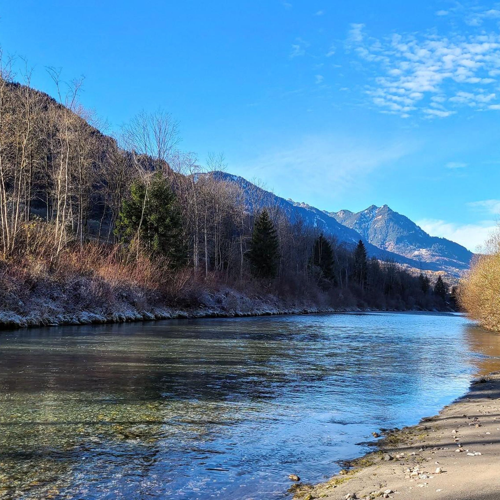
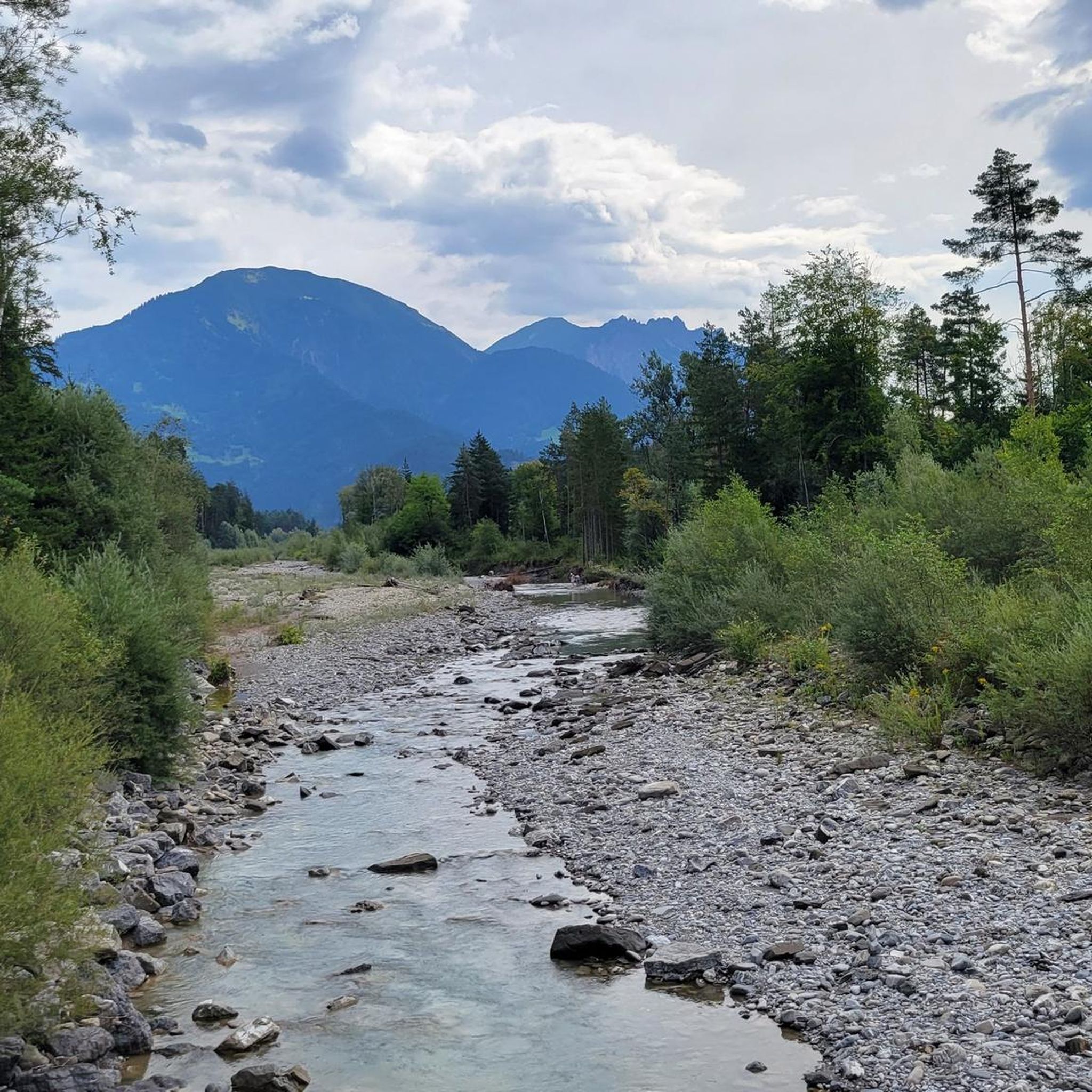
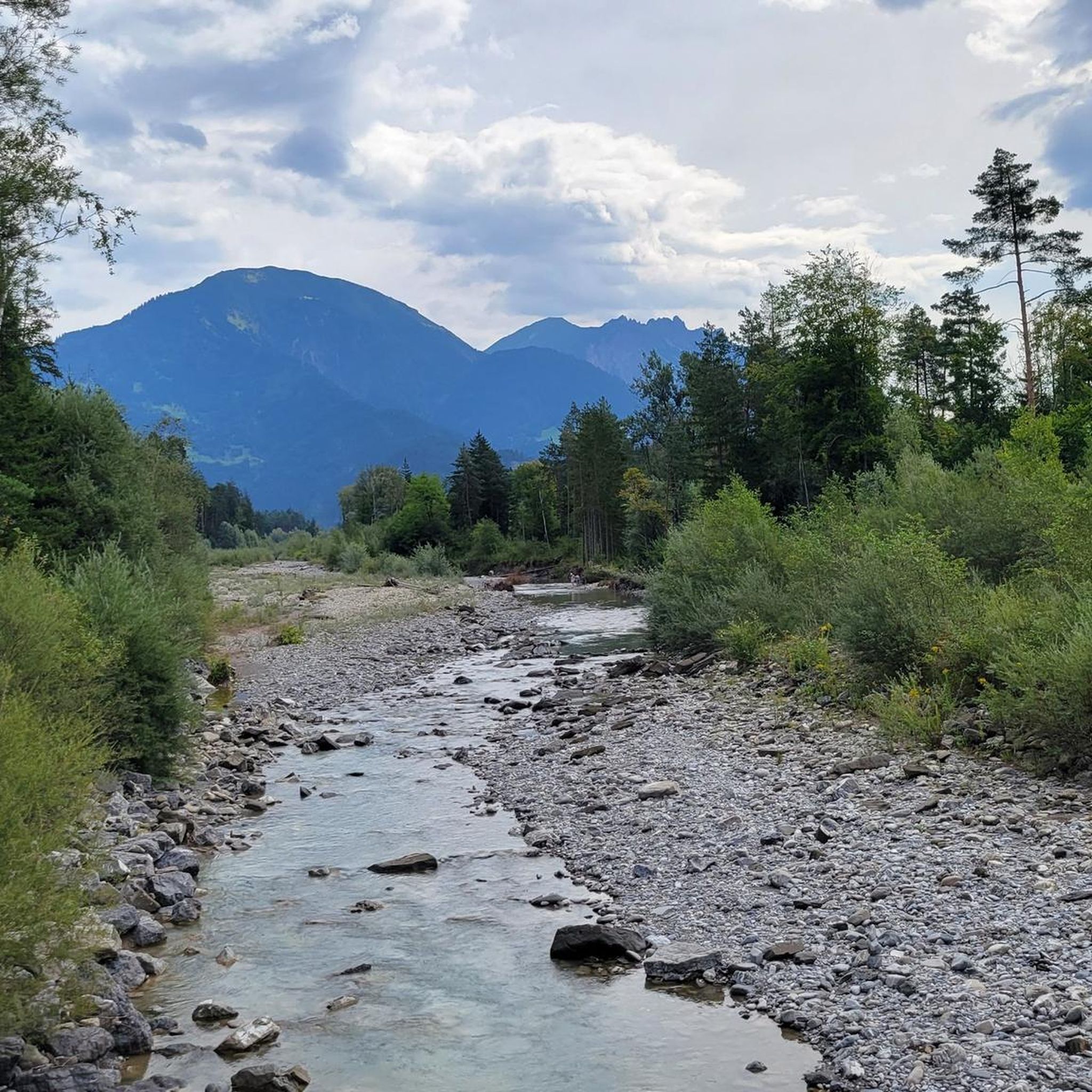
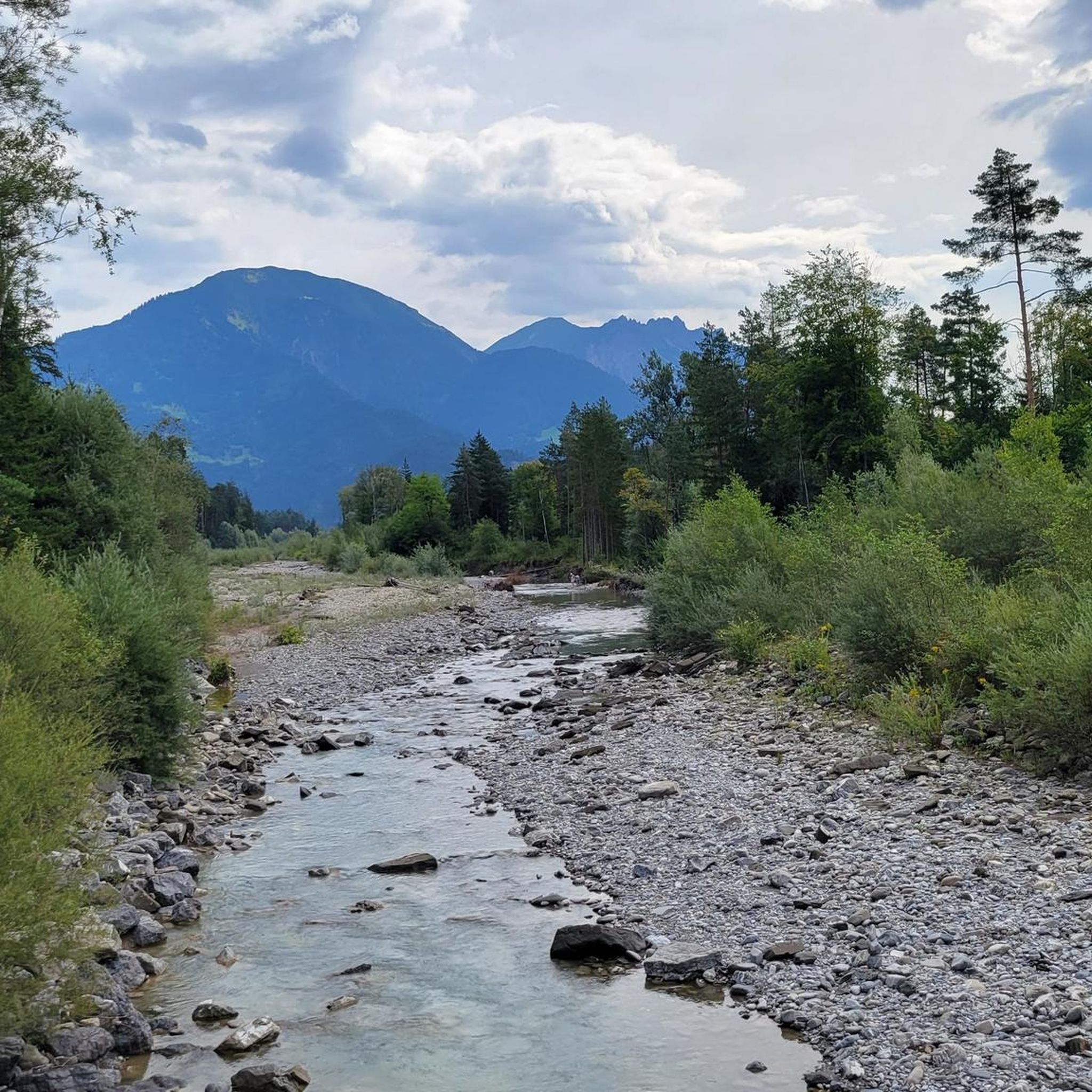
Tips from the Community

There are many bike training opportunities here. Drops, jumps with airbag etc.
0
0

probably the more beautiful view into the high mountains than vice versa from the high mountains onto this "low mountain range"?
0
0

The T4 trail to Schillerkopf, coming from the Tschengla parking lot P3, is relatively easy to manage. There are only a few places where you need to use your hands, the trail is always clearly visible, and only a few sections are exposed.
0
0

If you know where to turn for the final hiking loop, just walk a little to the right up the slope/meadow, and you'll see a timid trail leading to the destination. The turnoff isn't actually visible from the trail. I wouldn't recommend taking the small path back, but rather following the counterclockwise route as indicated. Beautiful views!
0
0

steep but quiet climb up to the Alpe
0
0


The Neolithic stone circles on the Tschengla plateau are considered part of a huge calendar complex dating from 5000 to 1900 BC. The orientation of the stone circles shows parallels to other prehistoric structures in Europe.
9
0
Frequently Asked Questions
How many mountaineering routes are available in Auwald?
Auwald offers a substantial network of over 70 mountaineering routes. These routes cater to various skill levels, including 2 easy, 28 moderate, and 40 difficult options, ensuring there's a suitable challenge for every mountaineer.
What is the general difficulty level of mountaineering routes in Auwald?
The mountaineering routes in Auwald are primarily geared towards moderate to difficult experiences, with 28 moderate and 40 difficult routes. There are also a couple of easier routes available for those new to mountaineering or seeking a less strenuous ascent.
Are there any easier mountaineering routes for beginners in Auwald?
Yes, while many routes are challenging, Auwald does offer 2 easy mountaineering routes. These are great options for beginners or those looking for a less demanding day in the mountains.
What are some of the more challenging mountaineering routes in Auwald?
For experienced mountaineers seeking a challenge, Auwald has 40 difficult routes. A notable option is the Hochgerach Summit – Hochgerach (1,985 m) loop from Schnifis, an 8.3-mile trail with over 4,100 feet of elevation gain. Another demanding route is the Mondspitze Summit Cross – Ronaalpe loop from Bürserberg, covering 7.9 miles with significant ascent.
Can I find circular mountaineering routes in Auwald?
Yes, many of the mountaineering routes in Auwald are designed as loops, allowing you to start and finish at the same point. Examples include the popular Hochgerach Summit – Hochgerach (1,985 m) loop from Schnifis and the Henslerstüble – Älpele Summit Cross loop from Schnifis.
What kind of terrain can I expect on Auwald's mountaineering routes?
Mountaineering in Auwald involves varied terrain, from forested slopes to expansive alpine pastures. You'll encounter significant elevation changes leading to prominent summits, often marked by summit crosses. The landscape is characterized by challenging ascents and diverse mountain forests.
Are the mountaineering routes in Auwald suitable for families?
While many routes are challenging, Auwald does offer 2 easy mountaineering routes which might be suitable for families with older, experienced children. However, given the overall mountainous terrain and significant elevation gains, families should carefully assess the difficulty and length of any chosen route. Always check individual route details for specific suitability.
What is the best time of year to go mountaineering in Auwald?
The best time for mountaineering in Auwald is typically during the warmer months, from late spring through early autumn, when trails are clear of snow and weather conditions are more stable. Always check local weather forecasts and trail conditions before heading out, especially at higher elevations.
How can I get to the starting points of the mountaineering routes in Auwald?
Many routes in Auwald, such as those starting from Schnifis or Bürserberg, are accessible by car, with parking often available near the trailheads. For specific public transport options, it's best to check local transport schedules for the villages closest to your chosen starting point.
Are there any notable viewpoints or natural features along the routes?
Yes, the mountaineering routes in Auwald lead to prominent summits like Hochgerach and Mondspitze, offering extensive views of the surrounding mountainous landscape. You'll also encounter alpine pastures and diverse mountain forests, providing a rich natural experience.
What do other mountaineers say about their experiences in Auwald?
The mountaineering routes in Auwald are highly rated by the komoot community, with an impressive average score of 4.9 stars from over 100 reviews. Mountaineers frequently praise the challenging summits, varied terrain, and the rewarding views from the alpine summit crosses.
Most popular routes in Auwald

Get inspired with the komoot mobile app


Explore more
Browse the best Mountain Hikes & Routes in other regions.
