The best MTB trails in Hochleitenwald
4.5
(3475)
14,708
riders
122
rides
Mountain biking in Hochleitenwald offers a diverse experience within an expansive mixed forest, located north of Vienna in the Weinviertel region of Lower Austria. This area is recognized as the largest oak-hornbeam forest in the Weinviertel, characterized by its varied natural environment and rolling hills. The terrain includes wider forest roads and some singletracks, providing a mix of technically easy paths and more engaging trails. The landscape features a typical hilly profile, offering both climbs and descents suitable for mountain…
Last updated: October 5, 2026
4.6
(10)
56
riders
14.7km
00:57
230m
230m
Easy mountain bike ride. Great for any fitness level. Suitable for all skill levels.
5.0
(2)
13
riders
10.2km
00:35
110m
110m
Easy mountain bike ride. Great for any fitness level. Suitable for all skill levels.

4.0
(1)
33
riders
Easy mountain bike ride. Great for any fitness level. Suitable for all skill levels.
4.9
(44)
183
riders
47.7km
04:37
1,150m
1,150m
Hard mountain bike ride. Very good fitness required. Suitable for all skill levels.
5.0
(7)
66
riders
Easy mountain bike ride. Great for any fitness level. Suitable for all skill levels.
Get access to more routes and recommendations from other explorers.
Already have an account?
Our route recommendations are based on thousands of hikes, rides, and runs completed by other people on komoot.
Start today with a free account
Your next adventure awaits.
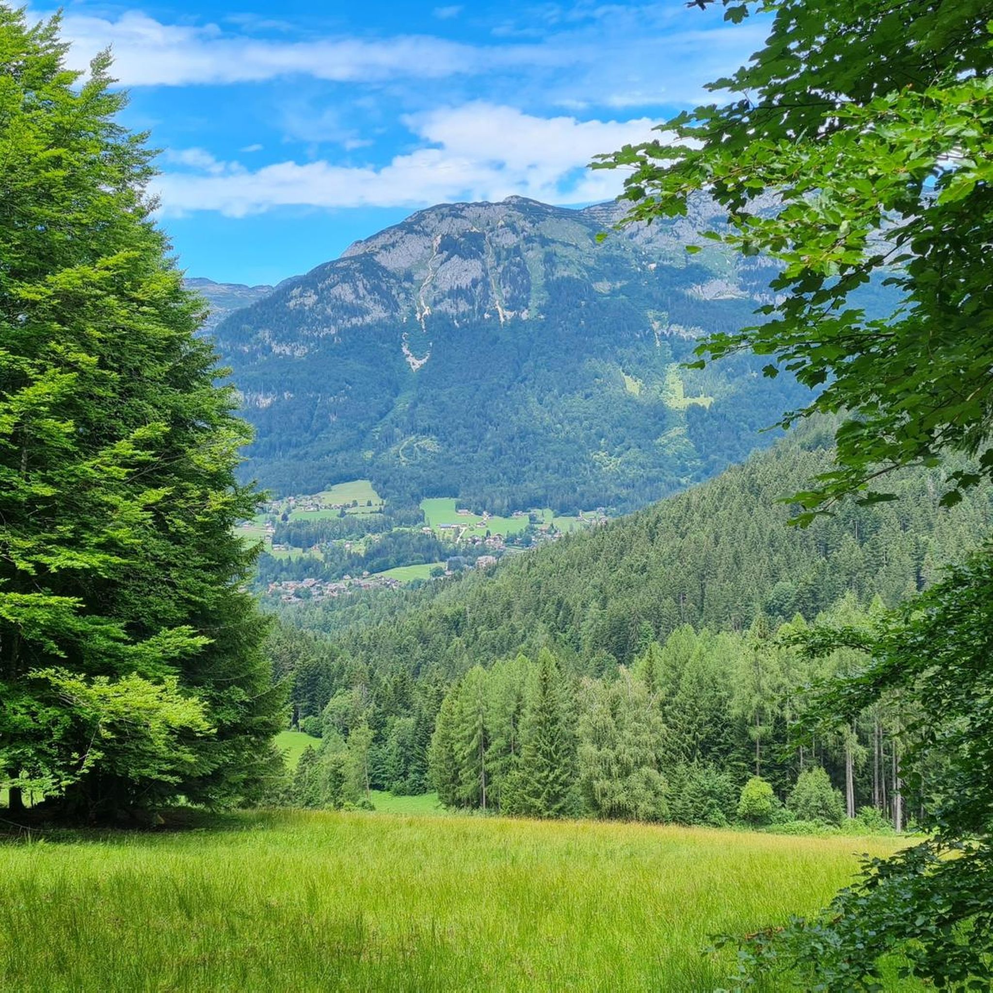
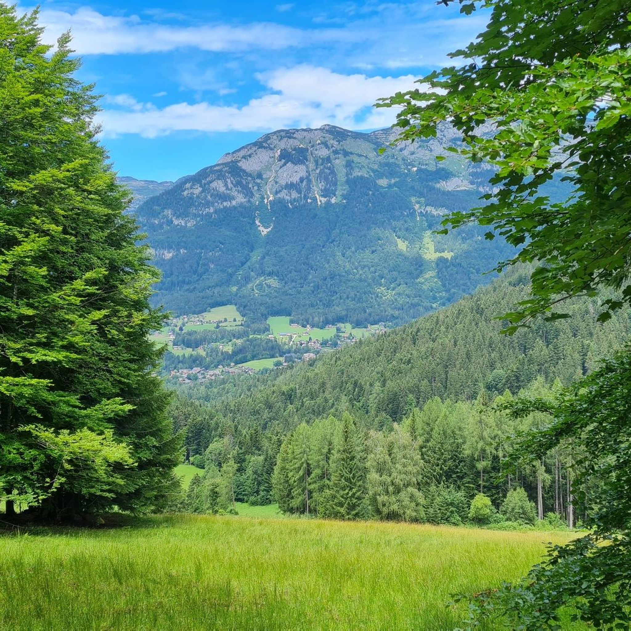
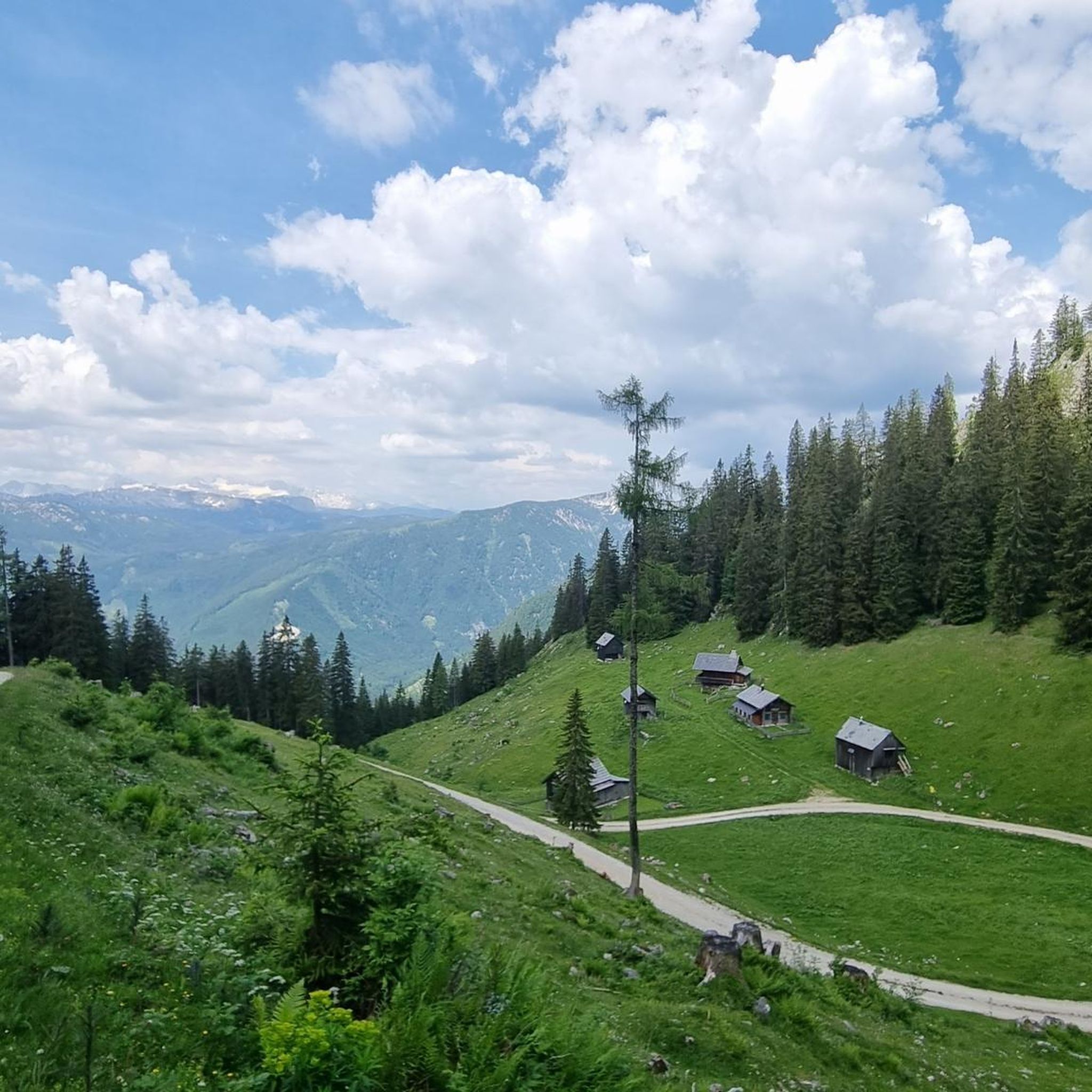
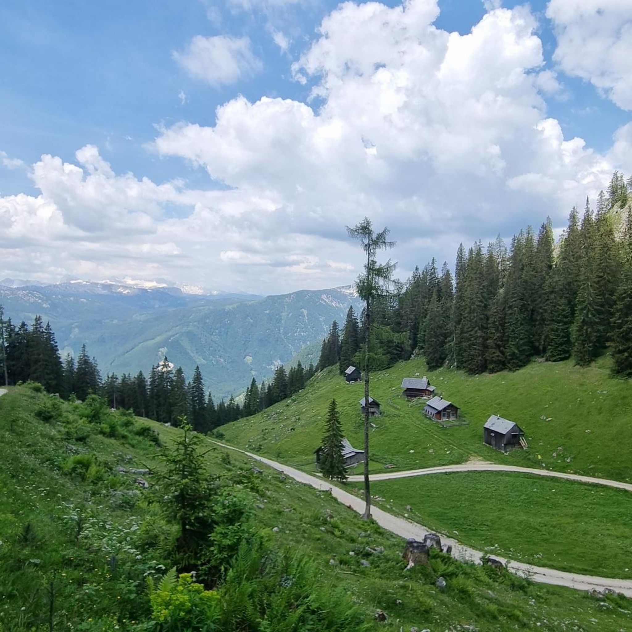
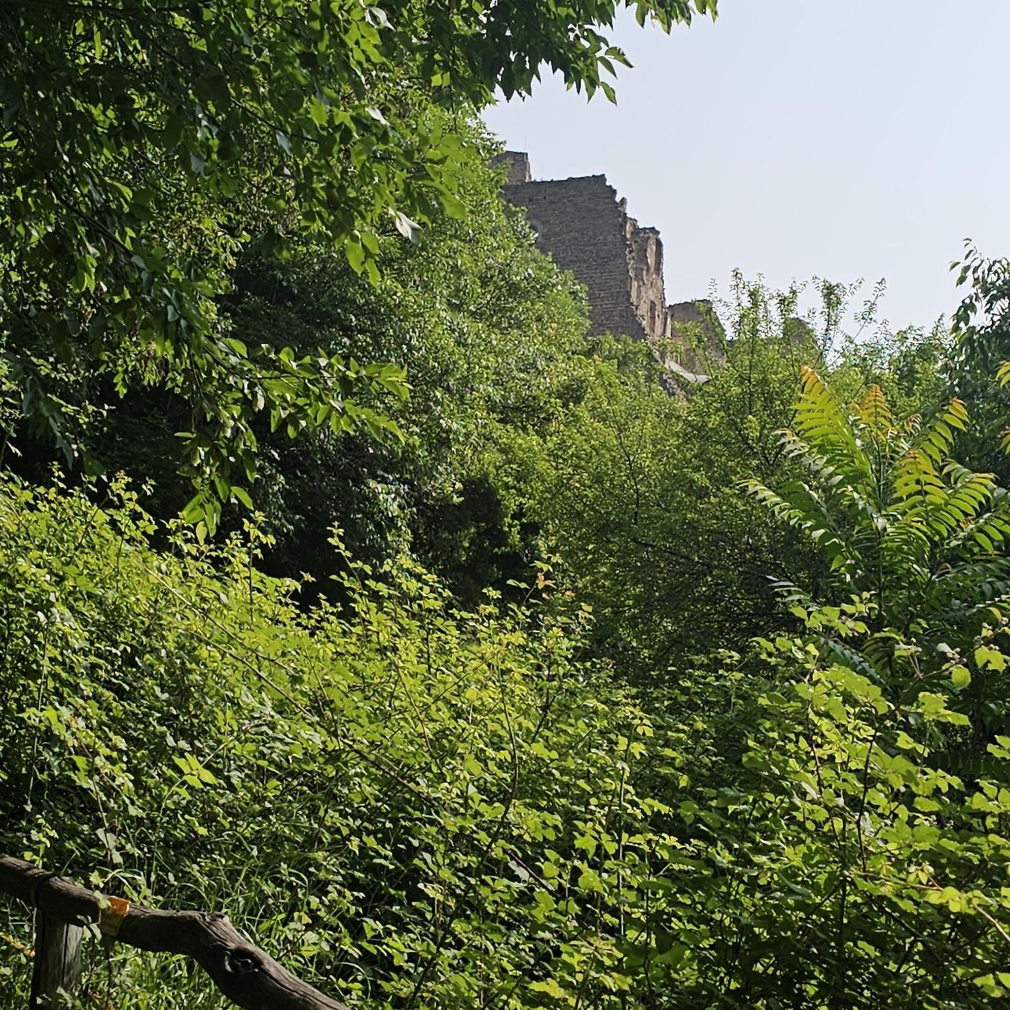
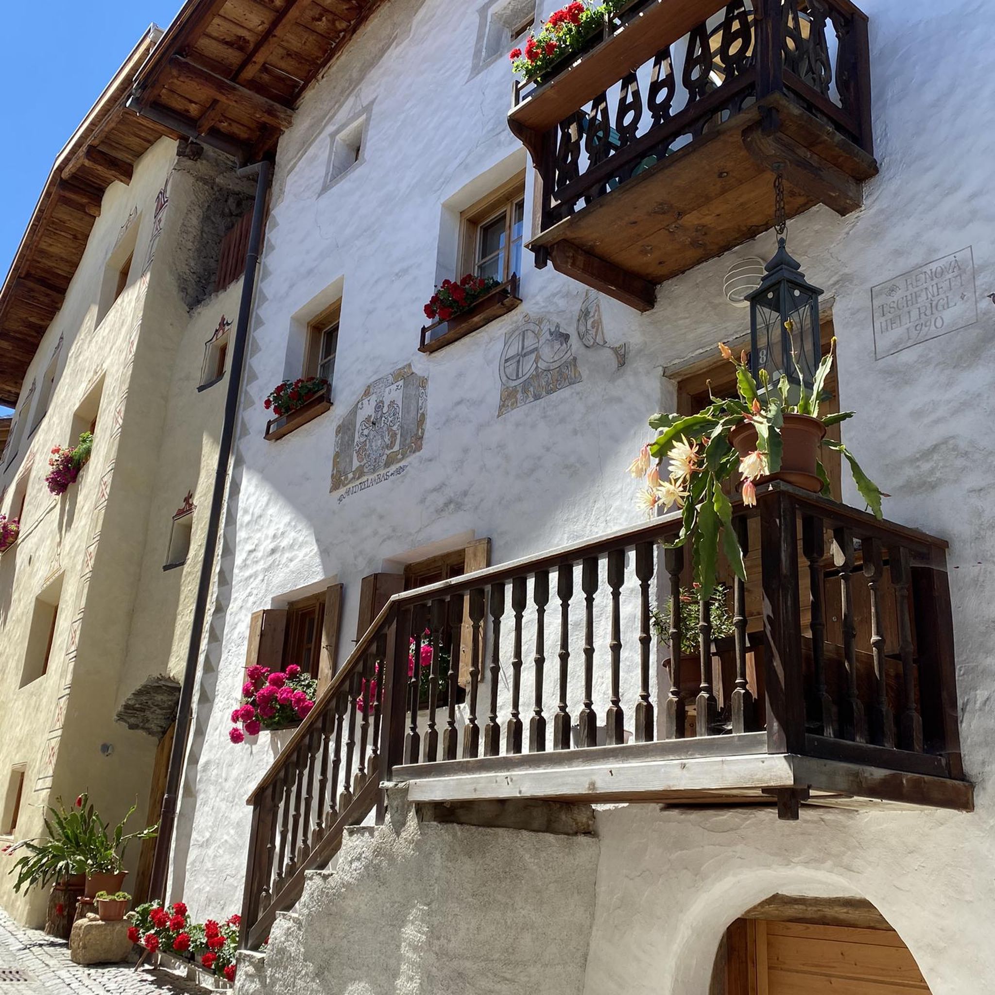
Tips from the Community

scenically beautiful MTB trail with great refreshment stop!
0
0
scenically beautiful alpine meadow with a great view
0
0
scenically beautiful alpine region with great huts
0
0
scenically beautiful alpine pasture with excellent hospitality!
0
0
great view from the MTB trail
0
0
beautiful, but completely overcrowded
0
0
beautiful view from the MTB trail
0
0
Frequently Asked Questions
How many mountain bike trails are available in Hochleitenwald?
Hochleitenwald offers a wide selection of mountain bike routes, with over 120 trails to explore. These include 34 easy, 57 moderate, and 33 difficult options, catering to various skill levels.
What kind of terrain can I expect when mountain biking in Hochleitenwald?
You can expect a diverse terrain in Hochleitenwald, characterized by the Weinviertel's typical rolling hills. The routes feature a mix of wider forest roads, gravel paths, and some singletracks. The extensive mixed forest provides both gentle climbs and descents, making for varied riding experiences.
Are there family-friendly mountain bike trails in Hochleitenwald?
Yes, Hochleitenwald has 34 easy mountain bike trails that are well-suited for families. These routes typically follow wider forest paths and gravel roads, offering a less technical and more relaxed riding experience. An example of an easy route is the Bad Mitterndorf Town Center loop from Kochalmbauer, which is 10.2 km long.
What are some notable natural features or landmarks to look out for along the trails?
Hochleitenwald is home to several protected natural monuments, including ancient oaks like the 'Bindereiche' and 'Bildereiche,' as well as a significant white pine. You might also spot the 'Bildbaum' dedicated to Saint Barbara. From the forest edges, riders can enjoy expansive views over the gentle, rolling hills of the Weinviertel region. Keep an eye out for the considerable wild boar population, though they are often shy.
What do other mountain bikers enjoy most about the trails in Hochleitenwald?
The mountain bike trails in Hochleitenwald are highly rated by the komoot community, with an average score of 4.5 stars from over 2,800 reviews. Riders often praise the diverse forest environment, the mix of easy paths and more engaging singletracks, and the tranquil experience offered by this less-discovered area near Vienna.
Are there any circular mountain bike routes in Hochleitenwald?
Yes, many of the trails in Hochleitenwald are designed as circular routes, allowing you to start and end at the same point. For instance, the Grundlsee – Lake Altaussee loop from Grundlsee is a popular 14.7 km circular trail that takes about 57 minutes to complete.
What is the best time of year to go mountain biking in Hochleitenwald?
The spring and autumn months are generally ideal for mountain biking in Hochleitenwald, offering pleasant temperatures and beautiful scenery as the forest changes colors. While summer is also an option, be mindful of warmer weather. Winter riding is possible, but trail conditions may vary due to snow or ice, especially on less-maintained paths.
Is Hochleitenwald suitable for advanced mountain bikers?
Yes, Hochleitenwald offers 33 difficult mountain bike trails for more experienced riders. These routes often feature more challenging singletracks and steeper ascents and descents, providing a more technical and demanding experience. An example of a challenging route is the Steinitzen Alm – Salza Reservoir loop from Kainisch, which covers 43.5 km with over 1000 meters of elevation gain.
Can I bring my dog on the mountain bike trails?
While many forest paths in Austria are dog-friendly, it's always recommended to keep your dog on a leash, especially given the significant wild boar population in Hochleitenwald. Be considerate of other trail users and local wildlife. Always check specific trail regulations or local signage for any restrictions.
Are there any amenities like cafes or restaurants near the mountain bike trails?
Hochleitenwald is an expansive forest, and while it's less discovered by tourists, you may find amenities in the surrounding villages of the Weinviertel region. It's advisable to plan your route and check for cafes or restaurants in nearby towns like Pillichsdorf or Großengersdorf before or after your ride.
What is the typical length of mountain bike trails in Hochleitenwald?
The lengths of mountain bike trails in Hochleitenwald vary significantly. You can find shorter, easy loops like the View of Lake Grundlsee – Grundlsee loop from Grundlsee at 8.8 km, which takes about 37 minutes. For more ambitious rides, there are longer, difficult routes such as the Steinitzen Alm – Salza Reservoir loop from Kainisch, spanning 43.5 km.
Is public transport an option to reach Hochleitenwald for mountain biking?
Hochleitenwald is located approximately 15 kilometers north of Vienna. While specific public transport connections directly into the forest might be limited, you can likely reach nearby towns in the Weinviertel region via regional buses or trains from Vienna. From there, you might need to cycle a short distance to reach the trailheads. It's best to check local public transport schedules for the most up-to-date information.
Most popular routes in Hochleitenwald

Get inspired with the komoot mobile app


Explore more
Browse the best MTB trails in other regions.
