The best running trails in Die Riggen
4.6
(58)
1,661
runners
50
runs
Jogging routes in Die Riggen offer a diverse landscape for runners, characterized by varied terrain including forested areas and significant elevation changes. The region features trails that ascend into hills, providing challenging climbs and descents. Many routes incorporate natural features such as lakes and valleys, contributing to a dynamic running experience.
Best jogging routes in Die Riggen
- The most popular jogging route is Carl von Stahl House – Königsbachalm loop from Wald-Wild-Schongebiet, a 10.6 miles (17.0 km) trail that takes 2 hours 48 minutes to complete. This difficult route features substantial elevation gain through mountainous terrain.
- Another top favourite among local runners is Oberer Bluntausee – Lakes Bluntau loop from Golling an der Salzach, a moderate 5.6 miles (9.0 km) path. This route offers a scenic run around lakes with minimal elevation changes.
- Local runners also love the Panorama Behind Mitterkaseralm – Jenneralm Mountain Restaurant loop from Hinterbrand, a 6.6 miles (10.6 km) trail leading through alpine pastures and offering panoramic views, often completed in about 1 hour 48 minutes.
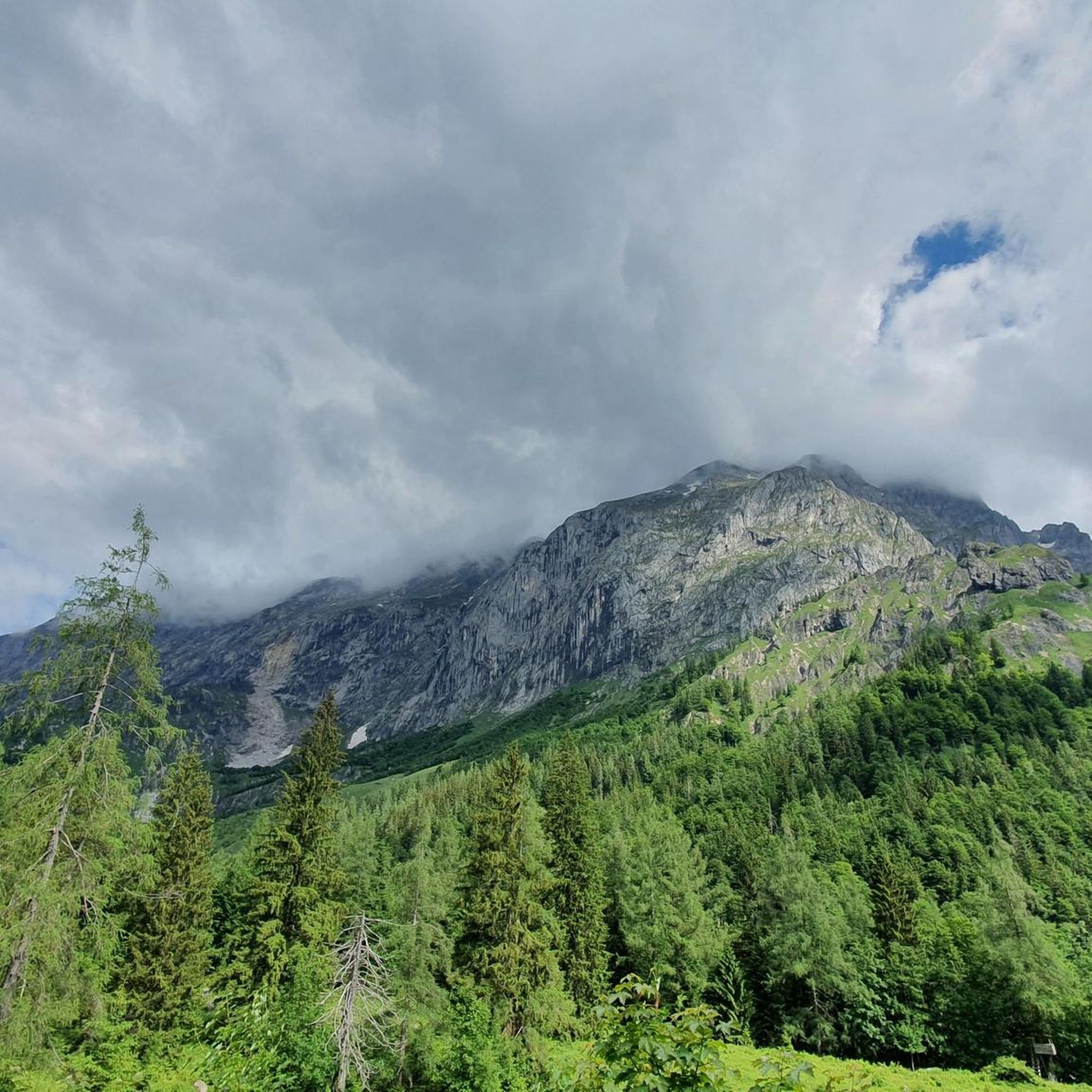
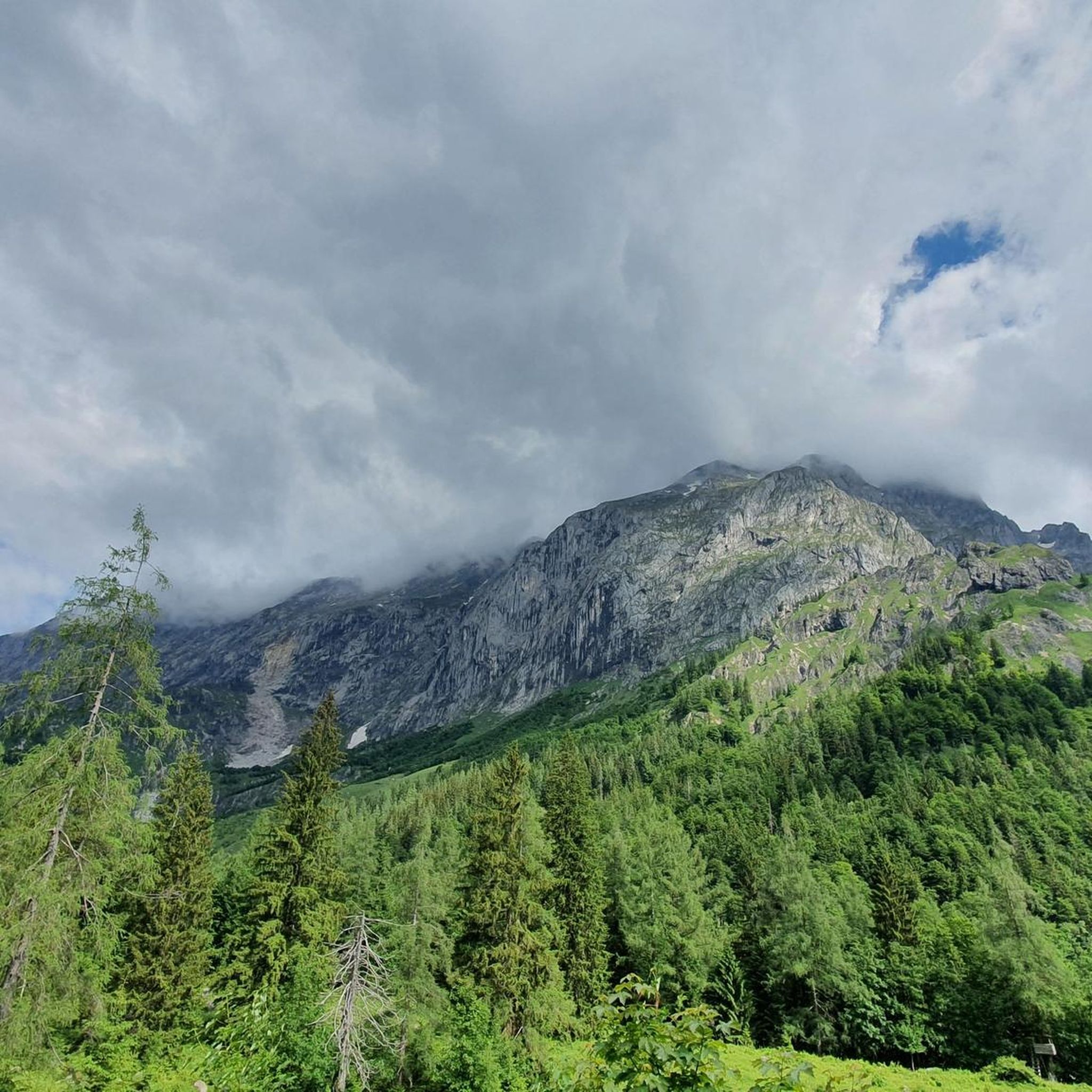
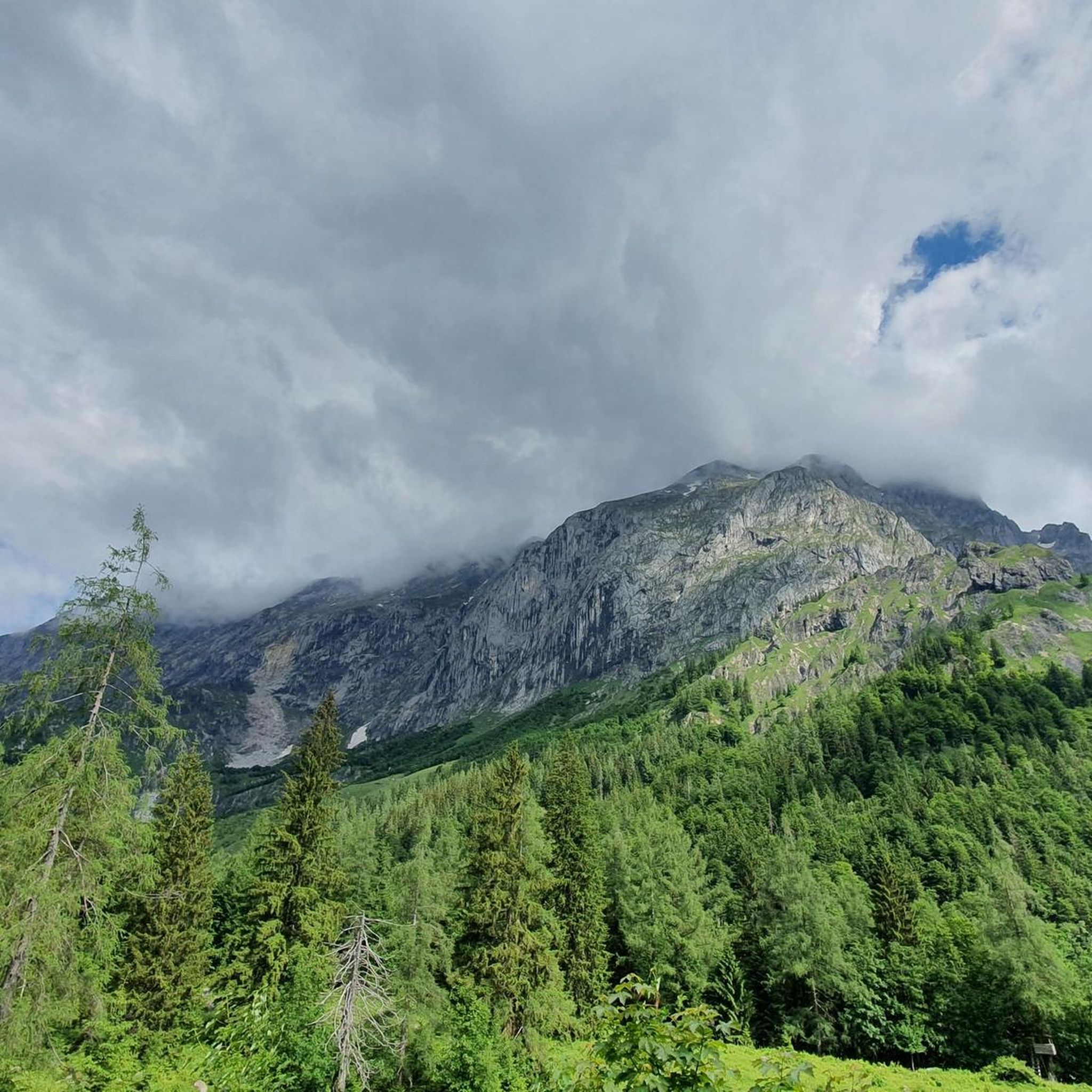
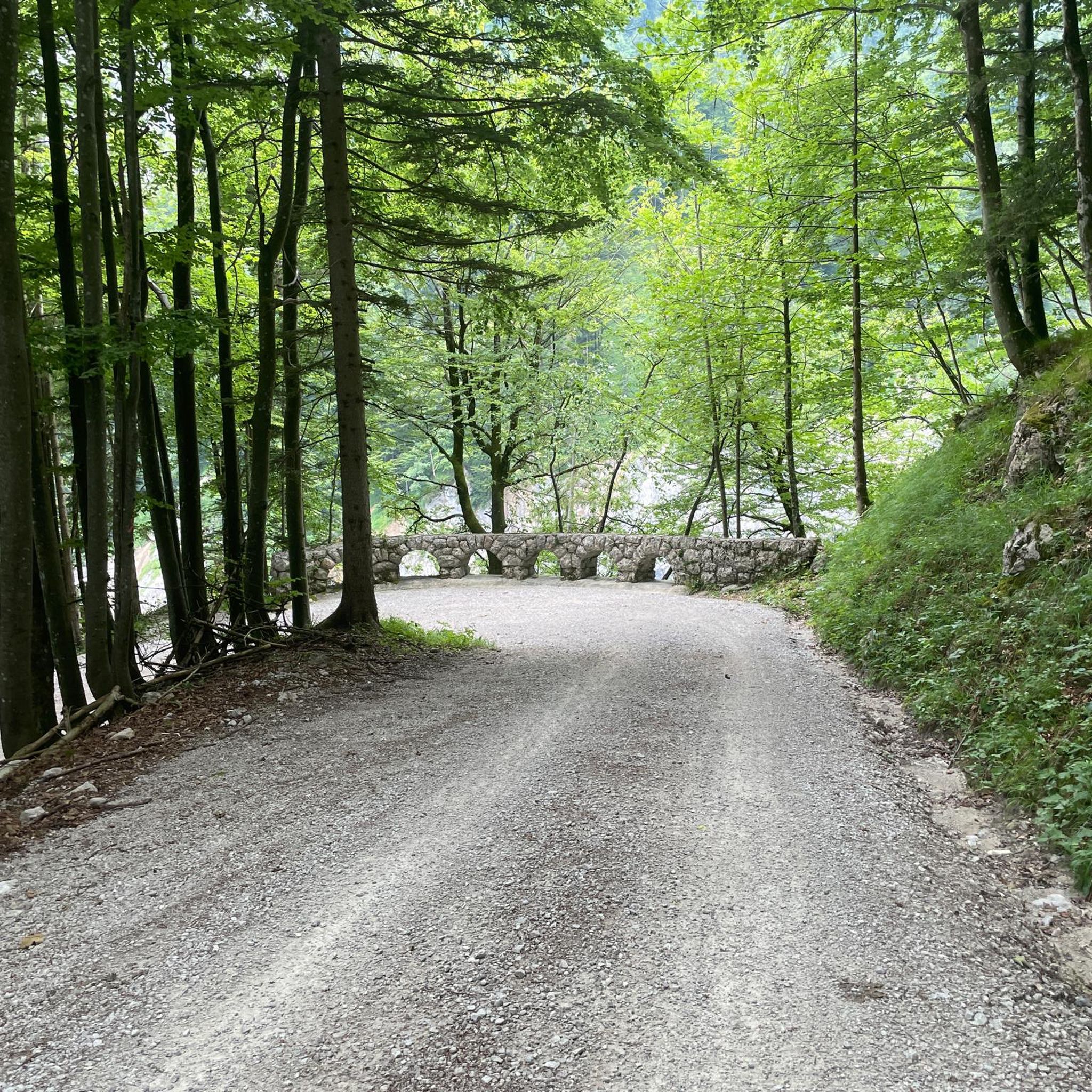
- Jogging in Die Riggen is defined by forested hills, scenic valleys, and mountain ascents. The network offers options for various ability levels, from moderate lakeside paths to difficult mountain trails.
- The routes in Die Riggen are highly rated by the komoot community with an average score of 4.7 stars from over 70 reviews. More than 1800 runners have used komoot to explore Die Riggen's varied terrain.
Last updated: August 11, 2026
4.5
(2)
53
runners
16.9km
02:47
1,060m
1,060m
Hard run. Very good fitness required. Sure-footedness, sturdy shoes and alpine experience required.
5.0
(4)
114
runners
Moderate run. Good fitness required. Mostly paved surfaces. Suitable for all skill levels.

Sign up for free
62
runners
Hard run. Very good fitness required. Sure-footedness, sturdy shoes and alpine experience required.
51
runners
Hard run. Very good fitness required. Sure-footedness, sturdy shoes and alpine experience required.
5.0
(1)
22
runners
27.2km
03:46
1,260m
1,260m
Hard run. Very good fitness required. Sure-footedness, sturdy shoes and alpine experience required.
Get access to more routes and recommendations from other explorers.
Sign up for free
Already have an account?
Our route recommendations are based on thousands of hikes, rides, and runs completed by other people on komoot.
Start today with a free account
Your next adventure awaits.
Login or Signup
Tips from the Community

The Jennerbahn middle station is located at about 1,200 m altitude on the Jenner mountain above Schönau am Königssee. It is the intermediate station of the Jennerbahn between the valley station and the mountain station (approx. 1,800 m). Tip: For families or if you don't want to go all the way to the summit, the middle station is often a nice compromise: less altitude, beautiful views and a cozy stop.
2
0
The view from the Jenner summit (1,874 m) near Schönau am Königssee is one of the most impressive panoramas in the Berchtesgaden Alps. From the summit or the "Königsblick" viewpoint, you can see in particular: * Königssee lake deep below the summit – elongated, turquoise-green and framed by steep rock faces * the Watzmann massif directly opposite with the distinctive Watzmann-Frau and the Watzmann summits * St. Bartholomä as a small red dot on the shore of the lake (in clear visibility) * the summit world of the Steinernes Meer, the Hagengebirge and other Berchtesgaden Alps. Particularly spectacular is the view in the morning or late afternoon, when light and shadow highlight the Watzmann's rock faces. The viewpoint is located a few meters below the summit; from the Jennerbahn mountain station (approx. 1,800 m) it is about a 20-minute walk to the summit.
2
0

Good hiking trails, fantastic views, it's really fun to hike here
0
0

Beginning of the national park with a beautiful stone.
1
0

👍👍👍ebike charging possible with your own charger - six sockets available 👍👍👍
0
0

Wonderful trails with beautiful views - what more could one ask for!
1
0
An iconic place - not just because of the boundary stone, but also because of the great views you get into the distance! There's a bench there as well where you can enjoy a small break while also enjoying the beautiful landscape around you :)
0
0
It can be hard to see, especially in the Spring/Summer when there are a lot of leaves on the trees, but the views are there and they are worth looking for! Really stunning perspective of the lake that you just don't get from below.
1
0
Frequently Asked Questions
How many running routes are available in Die Riggen?
Die Riggen offers a wide selection of running routes, with over 50 different trails to explore. These range from easy lakeside paths to challenging mountain ascents, ensuring options for all fitness levels.
What do other runners enjoy most about the trails in Die Riggen?
The running trails in Die Riggen are highly regarded by the komoot community, boasting an average rating of 4.7 stars from over 70 reviews. More than 1,800 runners have used komoot to discover the varied terrain, often praising the diverse landscapes, from serene lakes to challenging forested hills.
Are there easy or beginner-friendly jogging routes in Die Riggen?
Yes, Die Riggen features several routes suitable for beginners or those seeking an easier run. For instance, the Oberer Bluntausee – Lakes Bluntau loop from Golling an der Salzach is a moderate 9 km path with minimal elevation changes, offering a scenic run around the lakes. There are 5 easy routes in total.
Are there challenging running trails for advanced runners in Die Riggen?
Absolutely. Die Riggen is known for its demanding routes with significant elevation gain. Advanced runners can tackle trails like the Carl von Stahl House – Königsbachalm loop from Wald-Wild-Schongebiet, a difficult 17 km trail with over 1,000 meters of ascent through mountainous terrain. There are 21 difficult routes available.
Can I find circular running routes in Die Riggen?
Yes, many of the running routes in Die Riggen are designed as loops, allowing you to start and finish at the same point. Examples include the Panorama Behind Mitterkaseralm – Jenneralm Mountain Restaurant loop from Hinterbrand, which offers panoramic views, or the Oberer Bluntausee – Lakes Bluntau loop from Golling an der Salzach for a scenic lakeside experience.
What kind of scenery can I expect on a run in Die Riggen?
Running in Die Riggen offers a diverse range of scenery. You'll encounter forested hills, scenic valleys, and mountain ascents providing panoramic views. Many routes also incorporate natural features such as tranquil lakes, like the Bluntausee, and alpine pastures, especially on trails leading to mountain restaurants.
Are there any running routes that offer great views?
Yes, several routes provide stunning vistas. The Panorama Behind Mitterkaseralm – Jenneralm Mountain Restaurant loop from Hinterbrand is specifically highlighted for its panoramic views. Additionally, routes that ascend into the morainic hills around Dießen am Ammersee, such as those leading to the Schatzberg, offer excellent vantage points over the lake and surrounding landscape.
Is Die Riggen suitable for family-friendly jogging?
While the guide highlights some challenging routes, the broader Dießen am Ammersee area offers options for families. The redesigned lakeside promenade along Lake Ammersee is ideal for leisurely walks and lighter jogs. For specific family-friendly running trails within Die Riggen, look for routes marked as 'easy' or 'moderate' with minimal elevation, such as the Oberer Bluntausee – Lakes Bluntau loop from Golling an der Salzach.
What is the best time of year for jogging in Die Riggen?
The region around Dießen am Ammersee is beautiful year-round. Spring and autumn offer pleasant temperatures and vibrant scenery, making them ideal for running. Summer can be warm, especially in August, so early morning or late evening runs are recommended. Winter jogging is also possible, with trails through forested areas providing a serene experience, though conditions may vary.
Are there places to eat or drink near the running routes in Die Riggen?
Yes, the region around Die Riggen and Dießen am Ammersee offers various options for refreshments. Some routes, like the Panorama Behind Mitterkaseralm – Jenneralm Mountain Restaurant loop from Hinterbrand, lead directly to mountain restaurants. In Dießen am Ammersee itself, you'll find cafes, pubs, and restaurants, particularly along the lakeside promenade, perfect for a post-run meal or drink.
Where can I park when going for a run in Die Riggen?
Specific parking facilities vary by trailhead. For routes starting from areas like Hinterbrand or Golling an der Salzach, designated parking areas are typically available. When planning your run, it's advisable to check the route details on komoot for information on recommended starting points and parking options near the trailhead.
Can I reach the running trails in Die Riggen by public transport?
Dießen am Ammersee is accessible by public transport, including train services. From Dießen, local buses or short walks can connect you to various trailheads. For routes starting further afield, such as those from Golling an der Salzach, public transport connections might also be available, but it's best to check local schedules and connections for your specific starting point.
Most popular routes in Die Riggen

Get inspired with the komoot mobile app


Explore more
Browse the best Running Trails & Routes in other regions.
