The best walks and hikes in Brunnwald
4.6
(3150)
17,624
hikers
17
hikes
Hiking in Brunnwald, located in Bezirk Urfahr-Umgebung, Austria, offers a variety of trails through its natural forest landscapes. The region is characterized by its woodlands, providing a suitable environment for walking and hiking. The area features the Moorwald Nature Discovery Trail, an informative circular route. These trails cater to nature enthusiasts seeking accessible outdoor experiences.
Best hiking trails in Brunnwald
- The most popular hiking route is Moorwald Trail Map – Main Square Bad Leonfelden loop from Dietrichschlag, a 2.1…
Last updated: October 28, 2026
4.0
(1)
23
hikers
Easy hike. Easily walkable paths.
19
hikers
Easy hike. Easily walkable paths.

4.0
(3)
15
hikers
Easy hike. Easily walkable paths.
10
hikers
Easy hike. Easily walkable paths.
13
hikers
3.41km
00:55
40m
50m
Easy hike. Easily walkable paths.
Get access to more routes and recommendations from other explorers.
Already have an account?
Our route recommendations are based on thousands of hikes, rides, and runs completed by other people on komoot.
Start today with a free account
Your next adventure awaits.


Tips from the Community

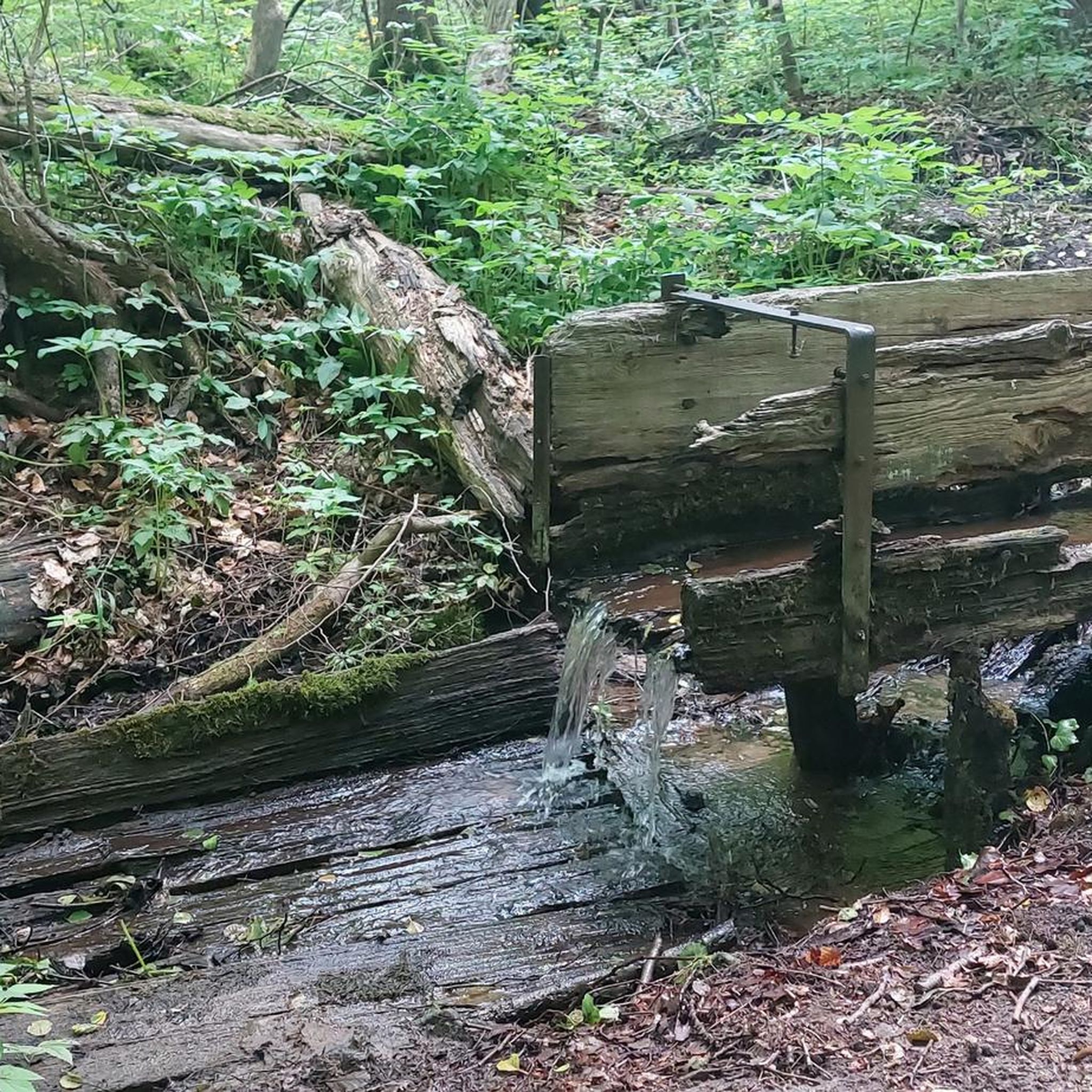
Kneipp bath in a stone basin, as well as Kneipp arm bath
0
0

Not a panoramic view, but still beautiful. Especially in the snow ❄
0
0

Stylish 4-star ambiance Wellness area with saunas, whirlpool, and indoor pool Restaurant and bar
0
0
Our spa hotel in Bad Leonfelden.
0
0
The Steinbach hiking trail 29, the Steinbach loop.
0
0
The town hall stands at the western end of the main square, northeast of the parish church in the town of Bad Leonfelden in the Mühlviertel region.
2
0
The parish church in Bad Leonfelden is dedicated to St. Bartholomew.
0
0
The Roman Catholic pilgrimage church Maria Schutz am Bründl, also called Bründlkirche.
0
0
Frequently Asked Questions
What types of hiking trails can I find in Brunnwald?
Brunnwald, located in Bezirk Urfahr-Umgebung, Austria, is known for its natural forest landscapes. The trails primarily offer accessible outdoor experiences through woodlands. You'll find a variety of paths, including the informative Moorwald Nature Discovery Trail, which is a circular route.
How many hiking routes are available in Brunnwald?
There are 18 hiking routes available in Brunnwald. The majority are classified as easy, with 15 routes suitable for casual walks, and 3 moderate routes for those seeking a slightly more challenging experience.
Are there any circular walks in Brunnwald?
Yes, Brunnwald offers several circular walks. A popular option is the Moorwald Trail Map – Main Square Bad Leonfelden loop from Dietrichschlag, which is an easy 3.4 km route. Another is the St. Michaeler Fountain – Moorwald Trail Map loop from Bad Leonfelden, covering 4.2 km through forest paths.
What are the typical distances and durations for hikes in Brunnwald?
Hikes in Brunnwald generally range from short, easy walks to moderate trails. For example, the School Museum – Kastner Café and Pastry Shop loop from Bad Leonfelden is an easy 2.6 km path that takes less than an hour. Longer options like the Bad Leonfelden Parish Church – Bad Leonfelden Market Square loop from Bad Leonfelden cover about 3.9 km and take around 1 hour 8 minutes.
What do other hikers say about the trails in Brunnwald?
The trails in Brunnwald are highly regarded by the komoot community, holding an average rating of 4.6 stars from over 1,900 reviews. Hikers often praise the quiet forest environment and the well-maintained paths, making it a pleasant experience for nature enthusiasts.
Are there any family-friendly hiking options in Brunnwald?
Yes, Brunnwald is well-suited for families, particularly with its abundance of easy trails. The Moorwald Nature Discovery Trail is highlighted as an informative and entertaining circular route, perfect for engaging younger hikers. The Sensory Trail also offers an interactive experience for all ages.
Are dogs allowed on the hiking trails in Brunnwald?
Brunnwald's forest environment and accessible paths generally welcome dogs. It's always recommended to keep dogs on a leash, especially in areas with wildlife or near other hikers, and to follow local regulations regarding pet waste.
What interesting landmarks or attractions can I see while hiking in Brunnwald?
Along the trails in Brunnwald, you can explore several points of interest. These include the educational Moorwald Nature Discovery Trail, the historic Brunnwald Castle, and the serene Joachimsquelle Kneipp Facility. The Ritter Cross is another notable landmark.
Is there public transport available to access the hiking trails in Brunnwald?
While Brunnwald itself is a forested area, the nearby town of Bad Leonfelden serves as a common starting point for many trails. Public transport options to Bad Leonfelden are available, from where you can access various routes, including those that loop back to the town center like the Moorwald Trail Map – St. Michaeler Fountain loop from Bad Leonfelden.
Where can I find parking for hiking in Brunnwald?
For many of the trails in Brunnwald, parking is typically available in or near the closest towns, such as Bad Leonfelden or Dietrichschlag. Routes like the Moorwald Trail Map – Main Square Bad Leonfelden loop from Dietrichschlag often start from areas with designated parking.
Are there any cafes or places to eat near the Brunnwald hiking trails?
Yes, the town of Bad Leonfelden, which is a common access point for Brunnwald's trails, offers cafes and pastry shops. For instance, the School Museum – Kastner Café and Pastry Shop loop from Bad Leonfelden specifically highlights a local cafe, making it convenient to combine your hike with a refreshment stop.
Most popular routes in Brunnwald
Most popular attractions in Brunnwald

Get inspired with the komoot mobile app


Explore more
Browse the best Hikes in other regions.
